
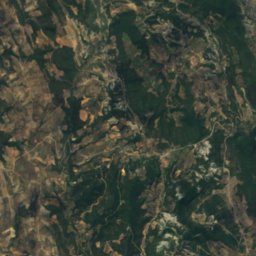
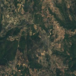
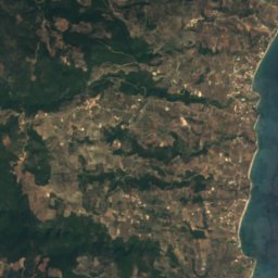


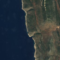
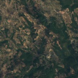
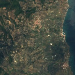


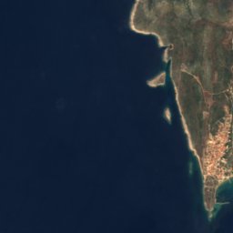
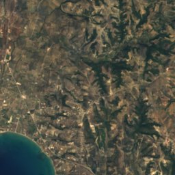
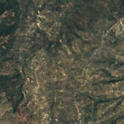


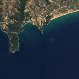
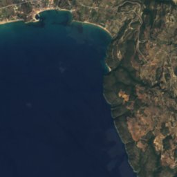
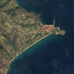


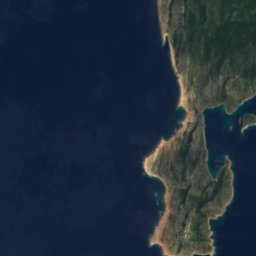
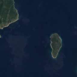
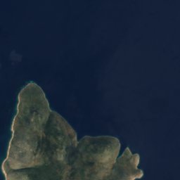
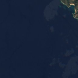

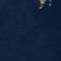
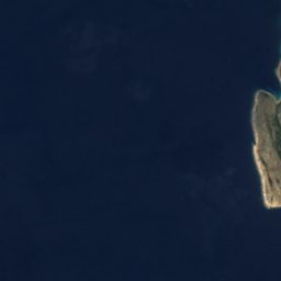
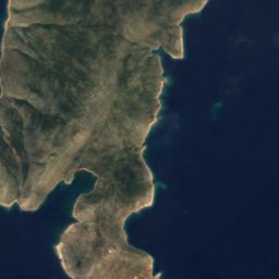

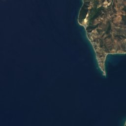
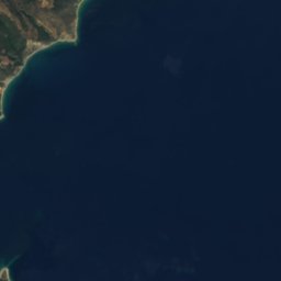

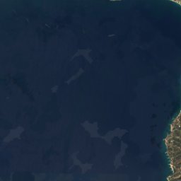
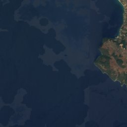
Satellite: Sentinel-2 cloudless 2016 by EOX IT Services GmbH · CC BY 4.0 · Contains modified Copernicus Sentinel data 2016

Photo: Dnalor 01 · CC BY-SA 3.0 at · Wikimedia Commons
Bourtzi of MethoniReport this photo · linked, not stored
Bourtzi of MethoniBourtzi of MethoniReport this photo · linked, not stored

Photo: Ioannis Houvardas · CC BY-SA 3.0 · Wikimedia Commons
Methoni beachReport this photo · linked, not stored
Methoni beachMethoni beachReport this photo · linked, not stored

Photo: Μενέλαος Μελετζής · CC BY-SA 4.0 · Wikimedia Commons
SapientzaReport this photo · linked, not stored
SapientzaSapientzaReport this photo · linked, not stored
IslandFoinikounta, Peloponnese
Neraides
IslandBest Apr–Jun
Elevation–above sea level
Area–surface
Nearest townFoinikounta3.1 km
36.79° N, 21.78° EUTC+2 · Eastern European Standard Time
When to goFoinikounta · weather score
Best timeApr–Jun
October: high / low24° / 16°
Island
Neraides in brief
Neraides is an island in Foinikounta, Peloponnese, Greece — islet on south coast of Messinia.
The nearest town is Foinikounta, 3.1 km to the NE, where the weather is best in April, May and June.
Weather nearby now
Forecast for Foinikounta19°
Rain now
Today
27 Oct
22°
15°
4 mm
Wed
28 Oct
21°
12°
1 mm
Thu
29 Oct
22°
12°
Fri
30 Oct
21°
14°
2 mm
Sat
31 Oct
21°
13°
16 mm
Model run 00:00 UTCRefreshed several times a day
When to go
Climate of FoinikountaThe best months around Neraides
Month score in Foinikounta
Comfort, dry days and sunshine · out of 10053
Jan
58
Feb
71
Mar
85
Apr
87
May
86
Jun
81
Jul
76
Aug
73
Sep
79
Oct
74
Nov
62
Dec
Map
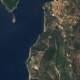
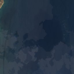
Neraides from above
Nature nearbyAll of Greece
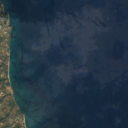
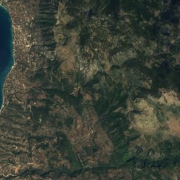
Satellite: Sentinel-2 cloudless 2016 by EOX IT Services GmbH · CC BY 4.0 · Contains modified Copernicus Sentinel data 2016
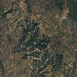
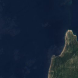
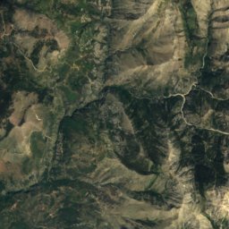
Satellite: Sentinel-2 cloudless 2016 by EOX IT Services GmbH · CC BY 4.0 · Contains modified Copernicus Sentinel data 2016
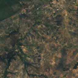
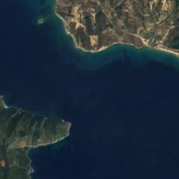
Satellite: Sentinel-2 cloudless 2016 by EOX IT Services GmbH · CC BY 4.0 · Contains modified Copernicus Sentinel data 2016


Stay nearby
Towns close by


Around here
Foinikounta and around
Nature


Photo: Nicholas Papastamatiou · CC BY-SA 4.0 · Wikimedia CommonsReport this photo · linked, not stored
Cave of Nestor
Cave

Mountains
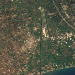
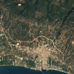
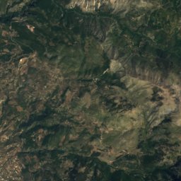
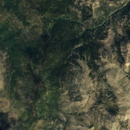
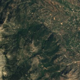
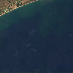
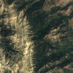

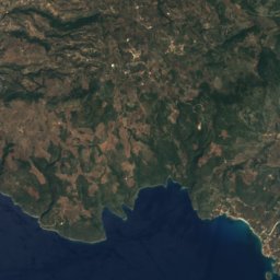
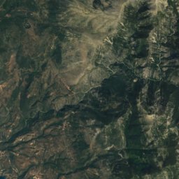
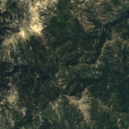
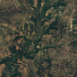
Satellite: Sentinel-2 cloudless 2016 by EOX IT Services GmbH · CC BY 4.0 · Contains modified Copernicus Sentinel data 2016
Agios Konstandinos
437 m


