


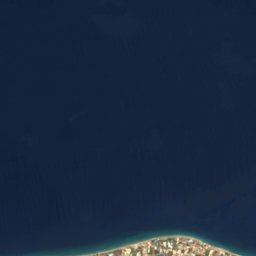
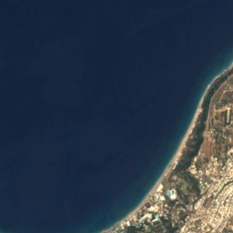
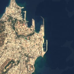



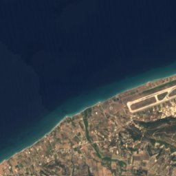
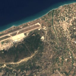
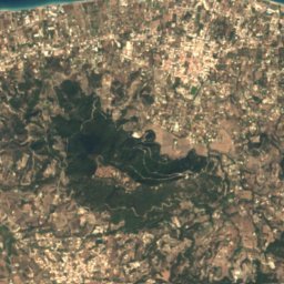
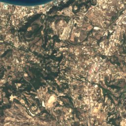
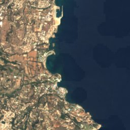






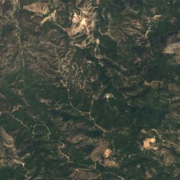
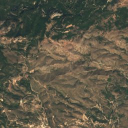
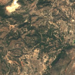
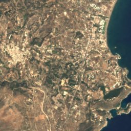



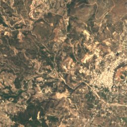
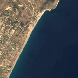




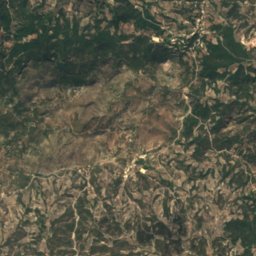
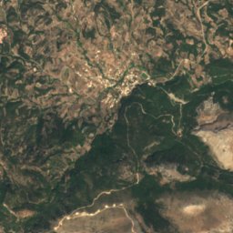
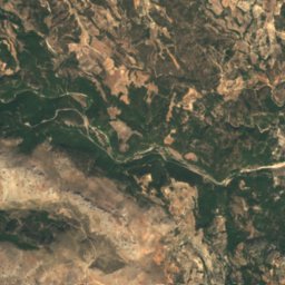
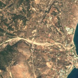
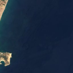




Satellite: Sentinel-2 cloudless 2016 by EOX IT Services GmbH · CC BY 4.0 · Contains modified Copernicus Sentinel data 2016

Photo: Stefan Krause · CC BY 2.5 · Wikimedia Commons
Profitis Ilias (Arhangelos)Report this photo · linked, not stored
Profitis Ilias (Arhangelos)Profitis Ilias (Arhangelos)Report this photo · linked, not stored
 Filerimos
BeachFaliraki, South Aegean
Mandomata
BeachBest Apr–Jun
Elevation–above sea level
Water qualityGoodEU · 2025
Nearest townFaliraki1.3 km
36.33° N, 28.21° EUTC+3 · Eastern European Summer Time
When to goFaliraki · weather score
Best timeApr–Jun
October: high / low25° / 18°
Beach
Mandomata in brief
Mandomata is a beach in Faliraki, South Aegean, Greece — tourist beach.
The nearest town in the atlas is Faliraki, 1.3 km to the NW, where the weather is best in April, May and June.
Bathing water quality (EU, 2025): good.
The sea is warmest in August, at about 27°C.
Weather nearby now
Forecast for Faliraki22°
Clear now
Today
22 Oct
25°
17°
Fri
23 Oct
26°
18°
Sat
24 Oct
25°
17°
Sun
25 Oct
24°
17°
Mon
26 Oct
25°
18°
8 mm
Model run 00:00 UTCRefreshed several times a day
Sea and air through the year
Sea surface temperature off the coast and the average daily high in Faliraki, month by month.Jan18°16°
Feb17°16°
Mar17°18°
Apr18°20°
May20°24°
Jun23°28°
Jul25°29°
Aug27°31°
Sep26°29°
Oct24°25°
Nov22°21°
Dec19°18°
seaair, daily high
When to go
Climate of FalirakiThe best months around Mandomata
Month score in Faliraki
Comfort, dry days and sunshine · out of 10056
Jan
64
Feb
81
Mar
84
Apr
90
May
84
Jun
81
Jul
74
Aug
78
Sep
84
Oct
80
Nov
68
Dec
Map
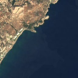
Mandomata from above
Nature nearbyAll of Greece
Satellite: Sentinel-2 cloudless 2016 by EOX IT Services GmbH · CC BY 4.0 · Contains modified Copernicus Sentinel data 2016
Satellite: Sentinel-2 cloudless 2016 by EOX IT Services GmbH · CC BY 4.0 · Contains modified Copernicus Sentinel data 2016
Satellite: Sentinel-2 cloudless 2016 by EOX IT Services GmbH · CC BY 4.0 · Contains modified Copernicus Sentinel data 2016
Satellite: Sentinel-2 cloudless 2016 by EOX IT Services GmbH · CC BY 4.0 · Contains modified Copernicus Sentinel data 2016
Satellite: Sentinel-2 cloudless 2016 by EOX IT Services GmbH · CC BY 4.0 · Contains modified Copernicus Sentinel data 2016
Satellite: Sentinel-2 cloudless 2016 by EOX IT Services GmbH · CC BY 4.0 · Contains modified Copernicus Sentinel data 2016
Summits nearbyMountains of Greece


Stay nearby
Towns close by

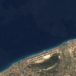
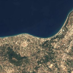
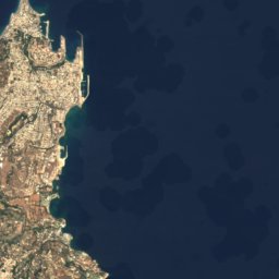

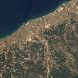
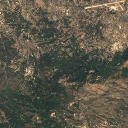
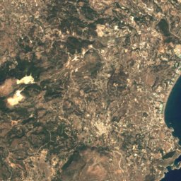

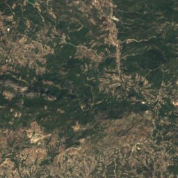


Satellite: Sentinel-2 cloudless 2016 by EOX IT Services GmbH · CC BY 4.0 · Contains modified Copernicus Sentinel data 2016
Kalythiés
South Aegean · 3.2 km W
25°Oct high
6wet days
86score

Photo: User: Hombre at wikivoyage shared · CC BY-SA 3.0 · Wikimedia CommonsReport this photo · linked, not stored
Afantou
South Aegean · 6.1 km SW
25°Oct high
6wet days
85score

Around here
Faliraki and around
Nature
Satellite: Sentinel-2 cloudless 2016 by EOX IT Services GmbH · CC BY 4.0 · Contains modified Copernicus Sentinel data 2016
Anthony Quinn Bay
Beach









Satellite: Sentinel-2 cloudless 2016 by EOX IT Services GmbH · CC BY 4.0 · Contains modified Copernicus Sentinel data 2016
Rhodos
Island
Satellite: Sentinel-2 cloudless 2016 by EOX IT Services GmbH · CC BY 4.0 · Contains modified Copernicus Sentinel data 2016
Faliraki A
Beach
Mountains

Photo: Hagai Agmon-Snir حچاي اچمون-سنير חגי אגמון-שניר · CC BY-SA 4.0 · Wikimedia CommonsReport this photo · linked, not stored
Atavyros
1,215 m


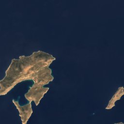
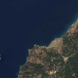
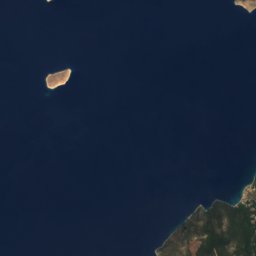
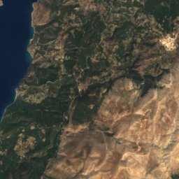
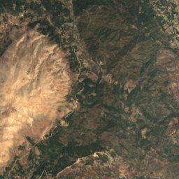
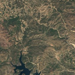
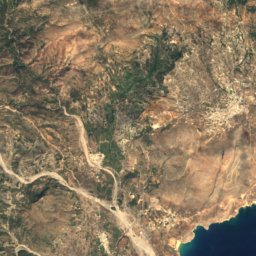
Satellite: Sentinel-2 cloudless 2016 by EOX IT Services GmbH · CC BY 4.0 · Contains modified Copernicus Sentinel data 2016
Profitis Ilias (Rhodes)
798 m
Heritage


Photo: Adam Carr (Adam Carr at en.wikipedia) · Public domain · Wikimedia CommonsReport this photo · linked, not stored
Medieval City of Rhodes
World Heritage Site

Museums


