
Photo: Christaras A · CC BY-SA 3.0 · Wikimedia Commons
Lake KoroneiaReport this photo · linked, not stored
Lake KoroneiaReport this photo · linked, not stored

Photo: Giannis Cholidis · CC BY-SA 4.0 · Wikimedia Commons
National Park of Lakes Koronia-Volvi and the Macedonian TempeReport this photo · linked, not stored
National Park of Lakes Koronia-Volvi and the Macedonian TempeNational Park of Lakes Koronia-Volvi and the Macedonian TempeReport this photo · linked, not stored

Photo: Christaras A · CC BY 3.0 · Wikimedia Commons
Mount ChortiatisReport this photo · linked, not stored
Mount ChortiatisMount ChortiatisReport this photo · linked, not stored
LakeAgios Vasileios, Central Macedonia
Lake Koroneia
Lake75 m elevationBest Apr–May · Oct
Elevation75 mabove sea level
Area43 km²surface
Nearest townAgios Vasileios3.8 km
40.69° N, 23.15° EElevation 75 mUTC+3 · Eastern European Summer Time
When to goAgios Vasileios · weather score
Best timeApr–May · Oct
October: high / low22° / 11°
Lake
Lake Koroneia in brief
Lake Koroneia is a lake in Agios Vasileios, Central Macedonia, Greece.
It lies at 75 m above sea level and covers about 43 km².
The nearest town in the atlas is Agios Vasileios, 3.8 km to the SW, where the weather is best in April, May and October.
Weather nearby now
Forecast for Agios Vasileios21°
Partly cloudy now
Today
22 Oct
24°
13°
2 mm
Fri
23 Oct
22°
13°
6 mm
Sat
24 Oct
21°
11°
1 mm
Sun
25 Oct
21°
11°
1 mm
Mon
26 Oct
21°
9°
Model run 00:00 UTCRefreshed several times a day
The lake's water
Surface, average depth and volume of the lake, and the length of its shore.Surface43 km²
Average depth6 m
Volume204 million m³
Shoreline27 km
When to go
Climate of Agios VasileiosThe best months around Lake Koroneia
Month score in Agios Vasileios
Comfort, dry days and sunshine · out of 10034
Jan
41
Feb
62
Mar
79
Apr
71
May
49
Jun
48
Jul
51
Aug
70
Sep
83
Oct
63
Nov
31
Dec
Map
Lake Koroneia from above
Nature nearbyAll of Greece

Summits nearbyMountains of Greece

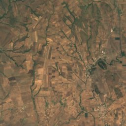
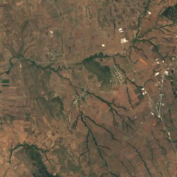
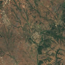
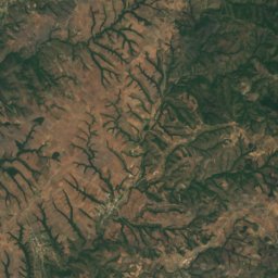
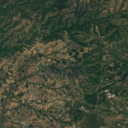
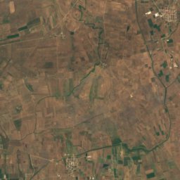
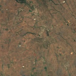
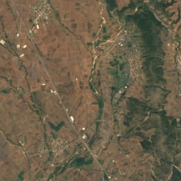
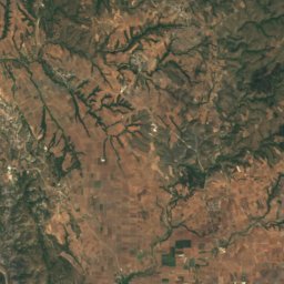
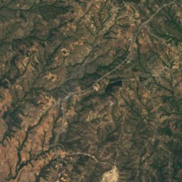
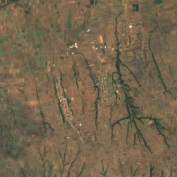
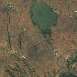
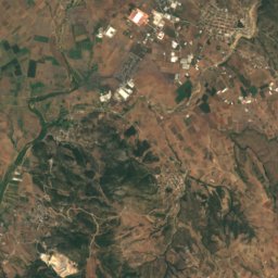
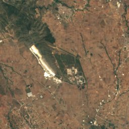
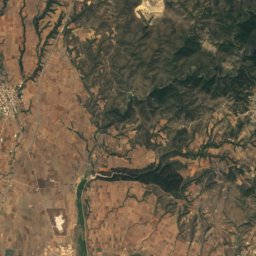
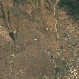
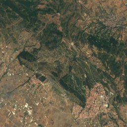
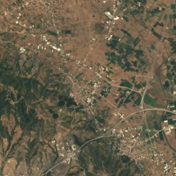
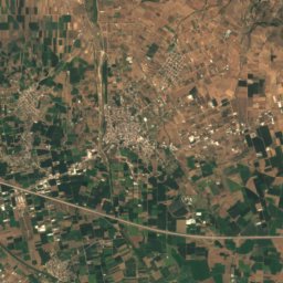
Satellite: Sentinel-2 cloudless 2016 by EOX IT Services GmbH · CC BY 4.0 · Contains modified Copernicus Sentinel data 2016
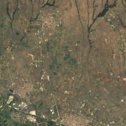
Stay nearby
Towns close by
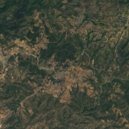
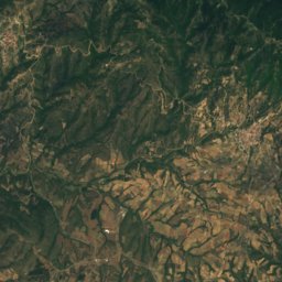
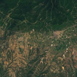
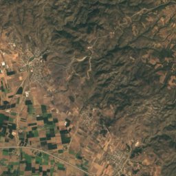
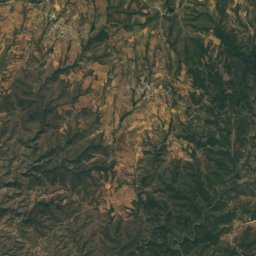
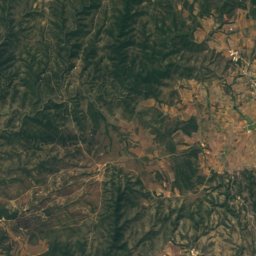
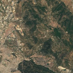
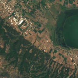
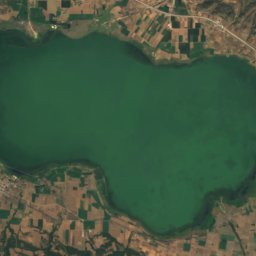
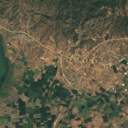
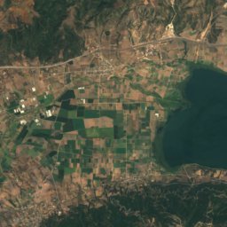
Satellite: Sentinel-2 cloudless 2016 by EOX IT Services GmbH · CC BY 4.0 · Contains modified Copernicus Sentinel data 2016
Analipsi
Central Macedonia · 4.5 km NE
22°Oct high
7wet days
82score
Satellite: Sentinel-2 cloudless 2016 by EOX IT Services GmbH · CC BY 4.0 · Contains modified Copernicus Sentinel data 2016
Evangelismos
Central Macedonia · 5.9 km E
22°Oct high
7wet days
82score

Around here
Agios Vasileios and around

Agios Vasileios
Central Macedonia · Greece
Apr–May · Octbest months
33°July high
97 maltitude
Nature

National Park of Lakes Koronia-Volvi and the Macedonian Tempe
National park
Mountains
Satellite: Sentinel-2 cloudless 2016 by EOX IT Services GmbH · CC BY 4.0 · Contains modified Copernicus Sentinel data 2016
Kamila Mountain
569 m
Heritage

Basilica of Agios Dimitrios, Thessaloniki
part of UNESCO World Heritage Site · 601


Church of the Acheiropoietos
part of UNESCO World Heritage Site · 401
Museums

Photo: Herbert Frank from Wien (Vienna), AT · CC BY 2.0 · Wikimedia CommonsReport this photo · linked, not stored
Archaeological Museum of Thessaloniki
Archaeological museum · 1912


