Skip to content
Destinations
Weather & climate
Nature
Outdoors
Culture
Events
Sky & live
Lagousa
Photo: Stolbovsky · CC BY-SA 3.0 · Wikimedia Commons
LagousaReport this photo · linked, not stored
Gaïdaros
Photo: Stolbovsky · CC BY-SA 3.0 · Wikimedia Commons
GaïdarosReport this photo · linked, not stored
Gaïdaros
Panagitsa
Photo: Stolbovsky · CC BY-SA 3.0 · Wikimedia Commons
PanagitsaReport this photo · linked, not stored
Panagitsa
Oros (Aigina)
Photo: RavieFolie · CC BY-SA 4.0 · Wikimedia Commons
Oros (Aigina)Report this photo · linked, not stored
Oros (Aigina)
Kammeno Vouno
Photo: Andreas Trepte · CC BY-SA 2.5 · Wikimedia Commons
Kammeno VounoReport this photo · linked, not stored
Kammeno Vouno
IslandVathý, Attica

Lagousa

IslandBest Apr–May · Oct
Elevation–above sea level
Area–surface
Nearest townVathý5.7 km
37.81° N, 23.47° EUTC+3 · Eastern European Summer Time
When to goVathý · weather score
JanFebMarAprMayJunJulAugSepOctNovDec85October
Best timeApr–May · Oct
October: high / low23° / 19°
Island

Lagousa in brief

Lagousa is an island in Vathý, Attica, Greece.

The nearest town in the atlas is Vathý, 5.7 km to the S, where the weather is best in April, May and October.

Vathý: weather and travel guide

Weather nearby now

Forecast for Vathý
24°
Partly cloudy now
Wind17 km/h
Humidity77%
Cloud cover22%
Today
22 Oct
25°
21°
Fri
23 Oct
24°
20°
Sat
24 Oct
23°
18°
Sun
25 Oct
21°
19°
1 mm
Mon
26 Oct
21°
18°
11 mm

Model run 00:00 UTCRefreshed several times a day

When to go

The best months around Lagousa

Climate of Vathý

Month score in Vathý

Comfort, dry days and sunshine · out of 100
48
Jan
54
Feb
69
Mar
87
Apr
88
May
83
Jun
75
Jul
74
Aug
79
Sep
85
Oct
79
Nov
57
Dec
Map

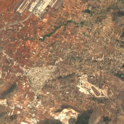
Lagousa from above

Nature nearbyAll of Greece
Photo: Stolbovsky · CC BY-SA 3.0 · Wikimedia CommonsReport this photo · linked, not stored
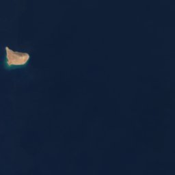
GaïdarosIsland0.6 kmWGaïdaros
Photo: Stolbovsky · CC BY-SA 3.0 · Wikimedia CommonsReport this photo · linked, not stored
PanagitsaIsland1.3 kmWPanagitsa
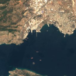
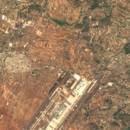
Satellite: Sentinel-2 cloudless 2016 by EOX IT Services GmbH · CC BY 4.0 · Contains modified Copernicus Sentinel data 2016

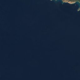
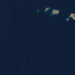
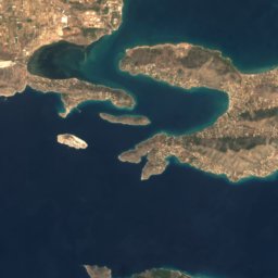
LagousakiIsland1.3 kmWLagousaki
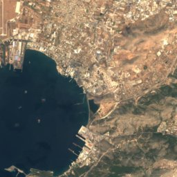
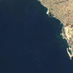
Satellite: Sentinel-2 cloudless 2016 by EOX IT Services GmbH · CC BY 4.0 · Contains modified Copernicus Sentinel data 2016
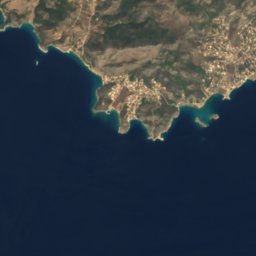
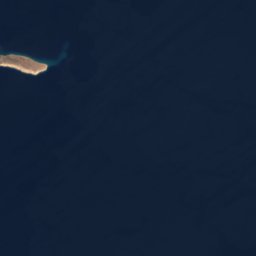
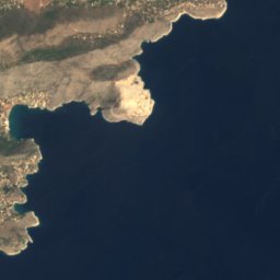
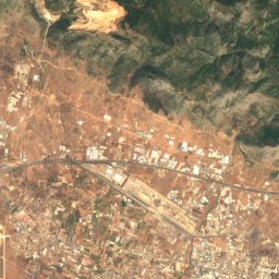
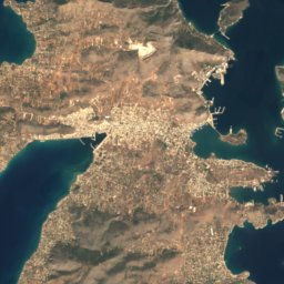
Makronisos, KypséliIsland1.7 kmWMakronisos, Kypséli
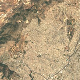
Satellite: Sentinel-2 cloudless 2016 by EOX IT Services GmbH · CC BY 4.0 · Contains modified Copernicus Sentinel data 2016
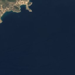
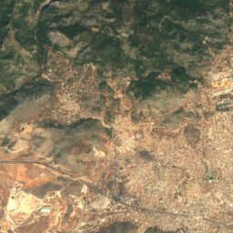
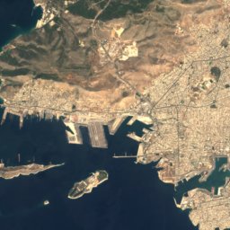
KordeliarisIsland2.1 kmWKordeliaris
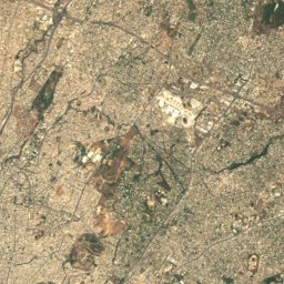
Satellite: Sentinel-2 cloudless 2016 by EOX IT Services GmbH · CC BY 4.0 · Contains modified Copernicus Sentinel data 2016
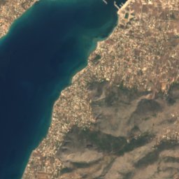
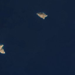
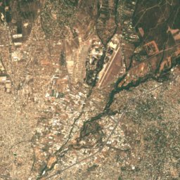
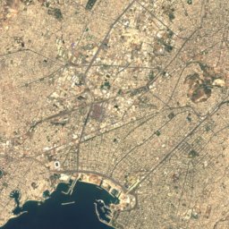
PeristeriaIsland6.9 kmNPeristeria
Summits nearbyMountains of Greece
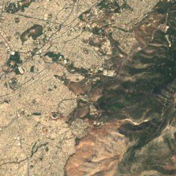
Photo: RavieFolie · CC BY-SA 4.0 · Wikimedia CommonsReport this photo · linked, not stored
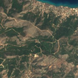
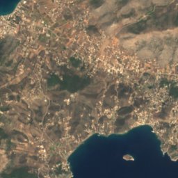
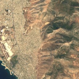
Oros (Aigina)10 km S532 mJuly 26°Oros (Aigina)
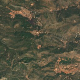
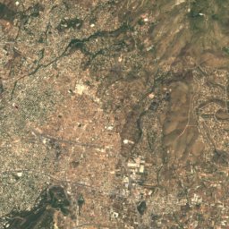
Satellite: Sentinel-2 cloudless 2016 by EOX IT Services GmbH · CC BY 4.0 · Contains modified Copernicus Sentinel data 2016
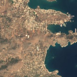
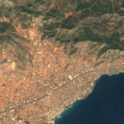
Korydallós24 km NE469 mJuly 31°Korydallós
Photo: Andreas Trepte · CC BY-SA 2.5 · Wikimedia CommonsReport this photo · linked, not stored
Kammeno Vouno25 km SW425 mJuly 29°Kammeno Vouno
Stay nearby

Towns close by

Vathý
Photo: C messier · CC BY-SA 4.0 · Wikimedia CommonsReport this photo · linked, not stored

Vathý

Attica · 5.7 km S
23°Oct high
6wet days
85score
Vathý
Kypséli
Photo: C messier · CC BY-SA 4.0 · Wikimedia CommonsReport this photo · linked, not stored

Kypséli

Attica · 6.2 km S
23°Oct high
6wet days
85score
Kypséli
Aegina
Photo: John Rigas · CC BY-SA 4.0 · Wikimedia CommonsReport this photo · linked, not stored

Aegina

Attica · 8.4 km SW
23°Oct high
6wet days
85score
Aegina
Aianteio
Photo: C messier · CC BY-SA 4.0 · Wikimedia CommonsReport this photo · linked, not stored

Aianteio

Attica · 12 km N
24°Oct high
6wet days
85score
Aianteio
Around here

Vathý and around

Vathý
Photo: C messier · CC BY-SA 4.0 · Wikimedia CommonsReport this photo · linked, not stored

Vathý

Attica · Greece
Apr–May · Octbest months
30°July high
53 maltitude
Vathý

Nature

Cave of Euripides
Photo: Violeta Meleti · CC BY-SA 4.0 · Wikimedia CommonsReport this photo · linked, not stored
13 km N

Cave of Euripides

Cave
Cave of Euripides
Lekani
Photo: ΖῷονΠολιτικόν · CC BY-SA 4.0 · Wikimedia CommonsReport this photo · linked, not stored
16 km SW

Lekani

Lake
Lekani
Peristeri Cave
Photo: Schuppi · CC BY-SA 4.0 · Wikimedia CommonsReport this photo · linked, not stored
24 km SW

Peristeri Cave

Cave
Peristeri Cave

Mountains

Ortholithi
Photo: Costas78 · CC BY-SA 3.0 · Wikimedia CommonsReport this photo · linked, not stored
33 km SW

Ortholithi

1,103 m
Ortholithi
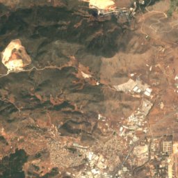
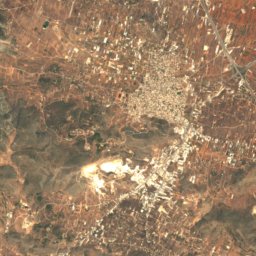
Satellite: Sentinel-2 cloudless 2016 by EOX IT Services GmbH · CC BY 4.0 · Contains modified Copernicus Sentinel data 2016

36 km NE

Evzonos

1,026 m
Evzonos
Hymettus
Photo: George E. Koronaios · CC BY-SA 4.0 · Wikimedia CommonsReport this photo · linked, not stored
36 km NE

Hymettus

1,026 m
Hymettus

Heritage

Palaiochora
Photo: Paweł 'pbm' Szubert (talk) · CC BY-SA 3.0 · Wikimedia CommonsReport this photo · linked, not stored
1.7 km SE

Palaiochora

archaeological site in Greece
Palaiochora
Temple of Aphaea
Photo: Paweł 'pbm' Szubert (talk) · CC BY-SA 3.0 · Wikimedia CommonsReport this photo · linked, not stored
4.8 km E

Temple of Aphaea

archaeological site in Greece · 499 BC
Temple of Aphaea
Satellite: Sentinel-2 cloudless 2016 by EOX IT Services GmbH · CC BY 4.0 · Contains modified Copernicus Sentinel data 2016
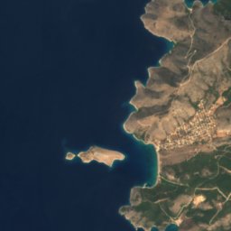
13 km N

Cave of Euripides

archaeological site in Greece
Cave of Euripides

Museums

Archaeological Museum of Aegina
Photo: Zde · CC BY-SA 4.0 · Wikimedia CommonsReport this photo · linked, not stored
5.1 km W

Archaeological Museum of Aegina

Archaeological museum · 1828
Archaeological Museum of Aegina
Folklore Museum, Aegina
Photo: Julià Minguillón · CC BY-SA 4.0 · Wikimedia CommonsReport this photo · linked, not stored
4.9 km SW

Folklore Museum, Aegina

Folklore Museum, Aegina
Kapralos museum
Photo: C messier · CC BY-SA 4.0 · Wikimedia CommonsReport this photo · linked, not stored
4.9 km W

Kapralos museum

Art museum · 1995
Kapralos museum