
Photo: Arne Müseler / www.arne-mueseler.com · CC BY-SA 3.0 de · Wikimedia Commons
KosReport this photo · linked, not stored
KosReport this photo · linked, not stored
 Kargı Adası

Photo: Asurnipal · CC BY-SA 4.0 · Wikimedia Commons
Alikes Salt LakeReport this photo · linked, not stored
Alikes Salt LakeAlikes Salt LakeReport this photo · linked, not stored
IslandKos, South Aegean
Kos
Island846 m elevationBest Jun–Jul · Sep
Elevation846 mabove sea level
Area290 km²surface
Nearest townKos0.4 km
36.90° N, 27.29° EElevation 846 mUTC+3 · Eastern European Summer Time
When to goKos · weather score
Best timeJun–Jul · Sep
October: high / low24° / 19°
Island
Kos in brief
Kos is an island in Kos, South Aegean, Greece — Greek island.
It lies at 846 m above sea level and covers about 290 km².
The nearest town in the atlas is Kos, 0.4 km to the SW, where the weather is best in June, July and September.
Weather nearby now
Forecast for Kos23°
Clear now
Today
22 Oct
26°
18°
Fri
23 Oct
26°
20°
Sat
24 Oct
24°
17°
Sun
25 Oct
25°
17°
1 mm
Mon
26 Oct
25°
17°
8 mm
Model run 00:00 UTCRefreshed several times a day
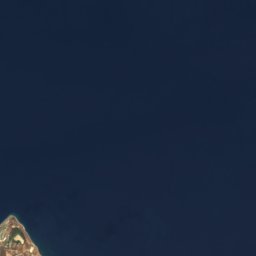
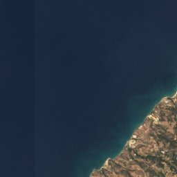
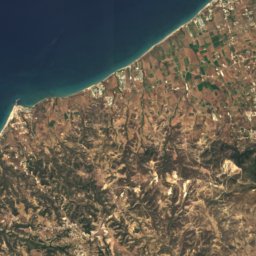
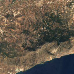
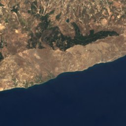
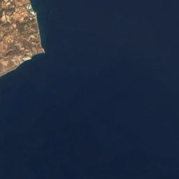
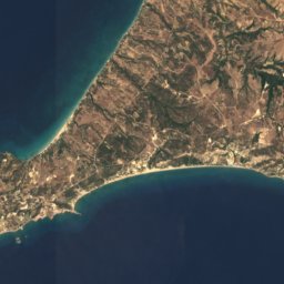
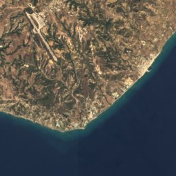
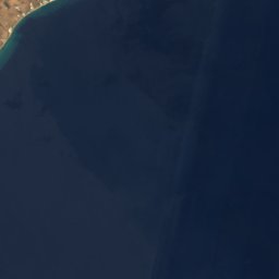
The island from above
290 km² · coastline as mapped in OpenStreetMapMap
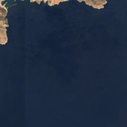
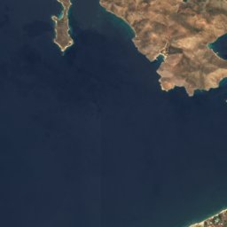
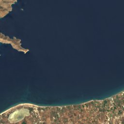
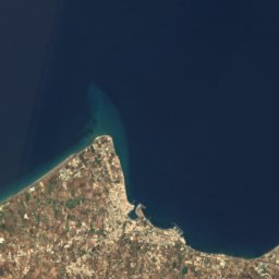
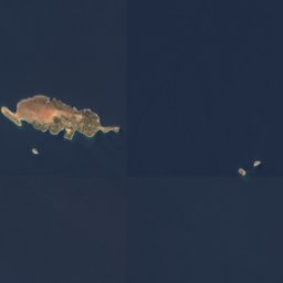
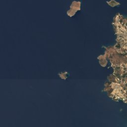
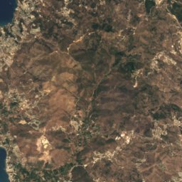
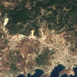
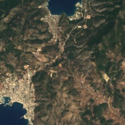
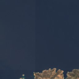
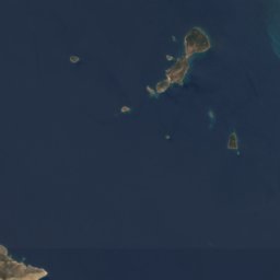
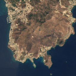
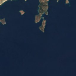
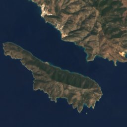
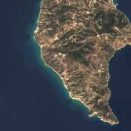
Kos from above
Nature nearbyAll of Greece
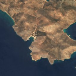
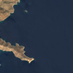


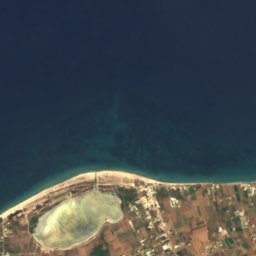
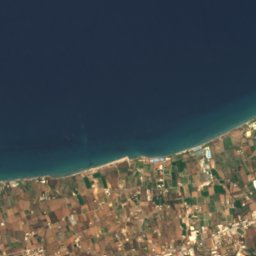
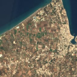
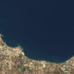
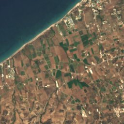
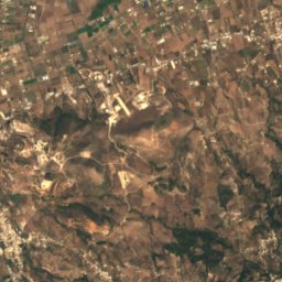
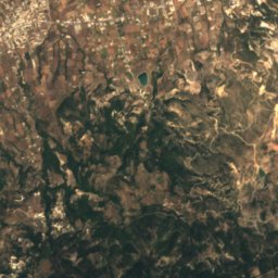
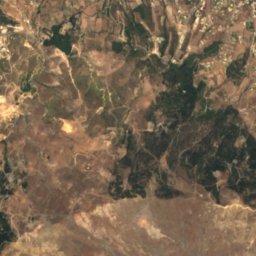
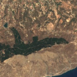
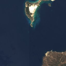
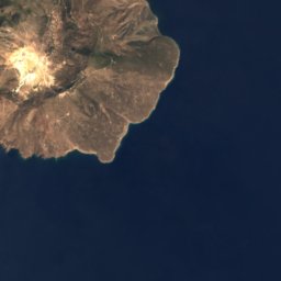
Satellite: Sentinel-2 cloudless 2016 by EOX IT Services GmbH · CC BY 4.0 · Contains modified Copernicus Sentinel data 2016
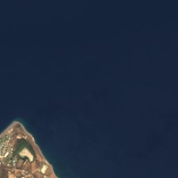

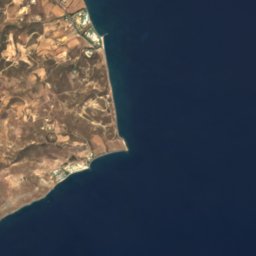

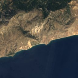
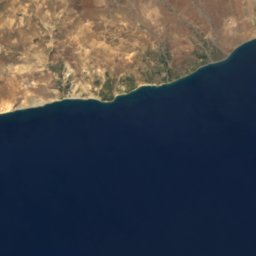


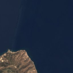
Satellite: Sentinel-2 cloudless 2016 by EOX IT Services GmbH · CC BY 4.0 · Contains modified Copernicus Sentinel data 2016

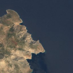


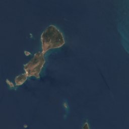
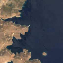
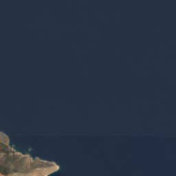
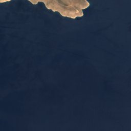
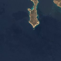
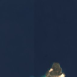
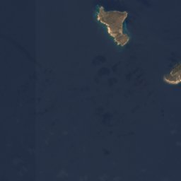
Satellite: Sentinel-2 cloudless 2016 by EOX IT Services GmbH · CC BY 4.0 · Contains modified Copernicus Sentinel data 2016


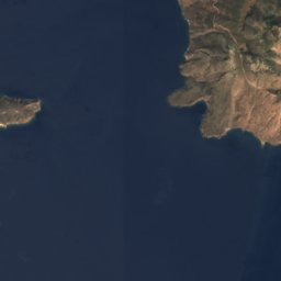
Satellite: Sentinel-2 cloudless 2016 by EOX IT Services GmbH · CC BY 4.0 · Contains modified Copernicus Sentinel data 2016
Summits nearbyMountains of Greece


Stay nearby
Towns close by


Satellite: Sentinel-2 cloudless 2016 by EOX IT Services GmbH · CC BY 4.0 · Contains modified Copernicus Sentinel data 2016
Akyarlar
Muğla · 8.0 km N
23°Oct high
5wet days
88score

Photo: Andy Mitchell from Glasgow, UK · CC BY-SA 2.0 · Wikimedia CommonsReport this photo · linked, not stored
Tigkáki
South Aegean · 9.4 km W
24°Oct high
5wet days
88score
Around here
Kos and around
Nature
Satellite: Sentinel-2 cloudless 2016 by EOX IT Services GmbH · CC BY 4.0 · Contains modified Copernicus Sentinel data 2016
Krevatio Kalymnou
Island
Mountains






Heritage

Photo: Arne Müseler / www.arne-mueseler.com · CC BY-SA 3.0 de · Wikimedia CommonsReport this photo · linked, not stored
Neratzia
protected building in Greece


