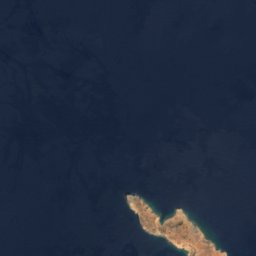


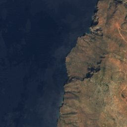
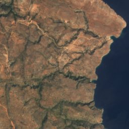




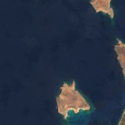
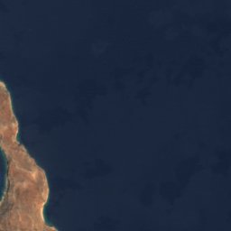

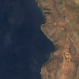
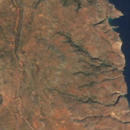




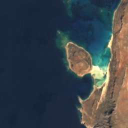
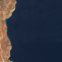

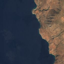
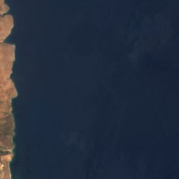



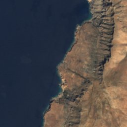
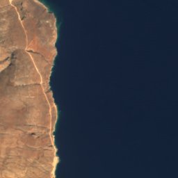

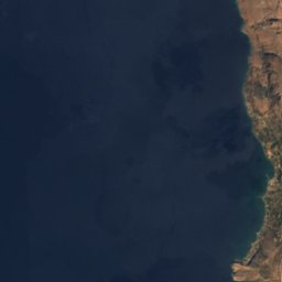
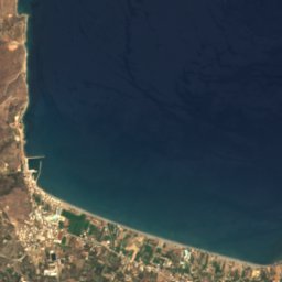

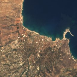
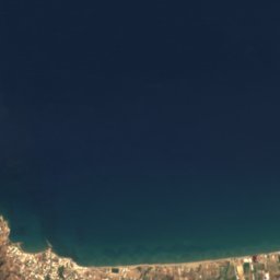
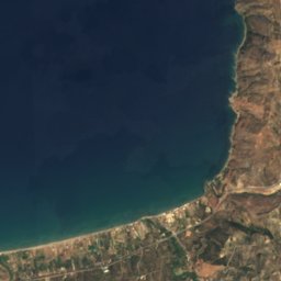
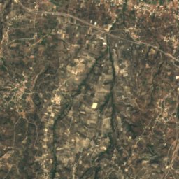
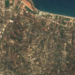
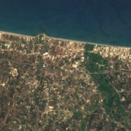
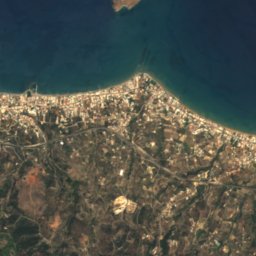
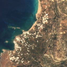
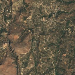
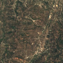
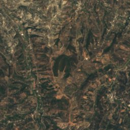
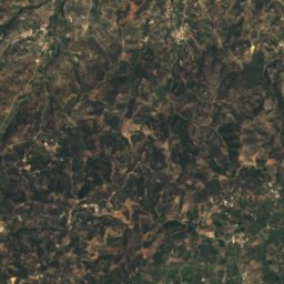
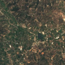
Satellite: Sentinel-2 cloudless 2016 by EOX IT Services GmbH · CC BY 4.0 · Contains modified Copernicus Sentinel data 2016
BeachKolympári, Crete
Kolymvari
BeachBest May–Jul
Elevation–above sea level
Water qualityExcellentEU · 2025
Nearest townKolympári0.4 km
35.54° N, 23.78° EUTC+3 · Eastern European Summer Time
When to goKolympári · weather score
Best timeMay–Jul
October: high / low24° / 18°
Beach
Kolymvari in brief
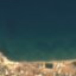
Kolymvari is a beach in Kolympári, Crete, Greece — tourist beach.
The nearest town in the atlas is Kolympári, 0.4 km to the SW, where the weather is best in May, June and July.
Bathing water quality (EU, 2025): excellent.
The sea is warmest in August, at about 26°C.
Weather nearby now
Forecast for Kolympári24°
Sunny now
Today
22 Oct
29°
15°
Fri
23 Oct
25°
17°
Sat
24 Oct
23°
14°
Sun
25 Oct
24°
13°
2 mm
Mon
26 Oct
21°
13°
8 mm
Model run 00:00 UTCRefreshed several times a day
Sea and air through the year
Sea surface temperature off the coast and the average daily high in Kolympári, month by month.Jan16°15°
Feb15°15°
Mar16°17°
Apr17°20°
May19°24°
Jun22°24°
Jul25°26°
Aug26°31°
Sep25°28°
Oct23°24°
Nov20°20°
Dec18°16°
seaair, daily high
When to go
Climate of KolympáriThe best months around Kolymvari
Month score in Kolympári
Comfort, dry days and sunshine · out of 10048
Jan
51
Feb
72
Mar
85
Apr
90
May
96
Jun
95
Jul
73
Aug
76
Sep
78
Oct
73
Nov
55
Dec
Map
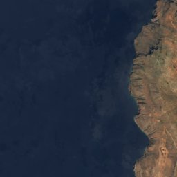
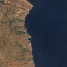
Kolymvari from above
Nature nearbyAll of Greece
Satellite: Sentinel-2 cloudless 2016 by EOX IT Services GmbH · CC BY 4.0 · Contains modified Copernicus Sentinel data 2016
Satellite: Sentinel-2 cloudless 2016 by EOX IT Services GmbH · CC BY 4.0 · Contains modified Copernicus Sentinel data 2016


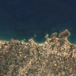
Satellite: Sentinel-2 cloudless 2016 by EOX IT Services GmbH · CC BY 4.0 · Contains modified Copernicus Sentinel data 2016
Satellite: Sentinel-2 cloudless 2016 by EOX IT Services GmbH · CC BY 4.0 · Contains modified Copernicus Sentinel data 2016
Satellite: Sentinel-2 cloudless 2016 by EOX IT Services GmbH · CC BY 4.0 · Contains modified Copernicus Sentinel data 2016


Satellite: Sentinel-2 cloudless 2016 by EOX IT Services GmbH · CC BY 4.0 · Contains modified Copernicus Sentinel data 2016
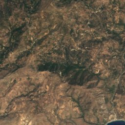
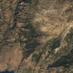
Summits nearbyMountains of Greece
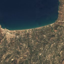
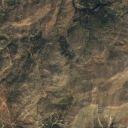
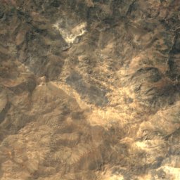
Satellite: Sentinel-2 cloudless 2016 by EOX IT Services GmbH · CC BY 4.0 · Contains modified Copernicus Sentinel data 2016
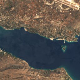
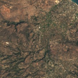
Satellite: Sentinel-2 cloudless 2016 by EOX IT Services GmbH · CC BY 4.0 · Contains modified Copernicus Sentinel data 2016
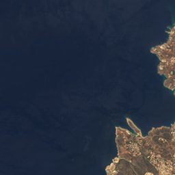
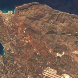

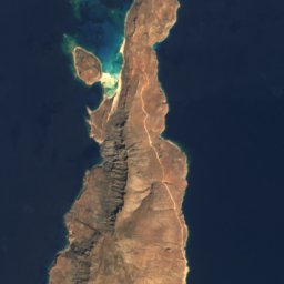
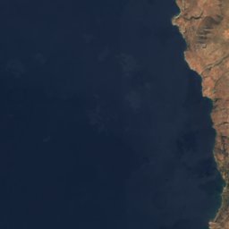


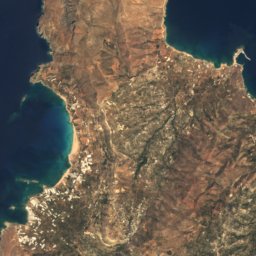

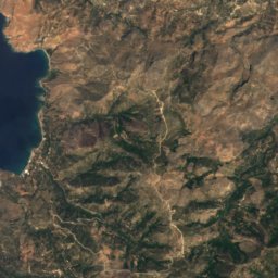





Around here
Kolympári and around
Nature
Satellite: Sentinel-2 cloudless 2016 by EOX IT Services GmbH · CC BY 4.0 · Contains modified Copernicus Sentinel data 2016
Cave of Agios Ioannis Erimitis, Marathokefala
Cave


Mountains

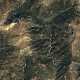
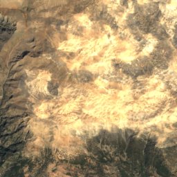
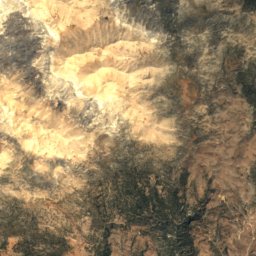
Heritage


Church of Zoodochou Pigis, Alikiano Kydonias
protected building in Greece · 1100
Museums



Satellite: Sentinel-2 cloudless 2016 by EOX IT Services GmbH · CC BY 4.0 · Contains modified Copernicus Sentinel data 2016
Museum of the Monastery of Gonia






Satellite: Sentinel-2 cloudless 2016 by EOX IT Services GmbH · CC BY 4.0 · Contains modified Copernicus Sentinel data 2016
Spilia Museum of Kissamos
Satellite: Sentinel-2 cloudless 2016 by EOX IT Services GmbH · CC BY 4.0 · Contains modified Copernicus Sentinel data 2016
Archaeological museum of Kissamos
Archaeological museum · 1936