Skip to content
Destinations
Weather & climate
Nature
Outdoors
Culture
Events
Sky & live
Gianysada
Photo: Schuppi · CC BY-SA 3.0 · Wikimedia Commons
GianysadaReport this photo · linked, not stored
Dragonada
Photo: Schuppi · CC BY-SA 3.0 · Wikimedia Commons
DragonadaReport this photo · linked, not stored
Dragonada
Paximada, Crete
Photo: Schuppi · CC BY-SA 3.0 · Wikimedia Commons
Paximada, CreteReport this photo · linked, not stored
Paximada, Crete
IslandVáï, Crete

Gianysada

IslandBest Jun–Aug
Elevation–above sea level
Area2.1 km²surface
Nearest townVáï12 km
35.33° N, 26.17° EUTC+3 · Eastern European Summer Time
When to goVáï · weather score
JanFebMarAprMayJunJulAugSepOctNovDec81October
Best timeJun–Aug
October: high / low22° / 20°
Island

Gianysada in brief

Gianysada is an island in Váï, Crete, Greece.

It covers about 2.1 km².

The nearest town in the atlas is Váï, 12 km to the SE, where the weather is best in June, July and August.

Váï: weather and travel guide

Weather nearby now

Forecast for Váï
24°
Sunny now
Wind9 km/h
Humidity72%
Cloud cover0%
Today
22 Oct
24°
20°
Fri
23 Oct
22°
21°
Sat
24 Oct
21°
20°
Sun
25 Oct
21°
20°
1 mm
Mon
26 Oct
22°
18°
4 mm

Model run 00:00 UTCRefreshed several times a day

The island from above

2.1 km² · coastline as mapped in OpenStreetMap
500 m
When to go

The best months around Gianysada

Climate of Váï

Month score in Váï

Comfort, dry days and sunshine · out of 100
51
Jan
48
Feb
62
Mar
76
Apr
88
May
96
Jun
98
Jul
96
Aug
91
Sep
81
Oct
75
Nov
59
Dec
Map

Gianysada from above

Nature nearbyAll of Greece
Photo: Schuppi · CC BY-SA 3.0 · Wikimedia CommonsReport this photo · linked, not stored
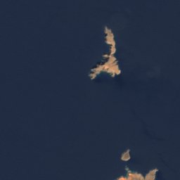
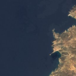
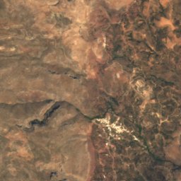
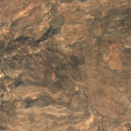
DragonadaIsland1.9 kmNDragonada
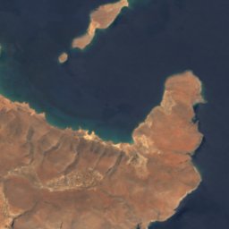
Satellite: Sentinel-2 cloudless 2016 by EOX IT Services GmbH · CC BY 4.0 · Contains modified Copernicus Sentinel data 2016
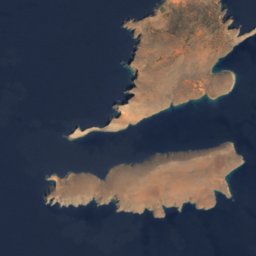
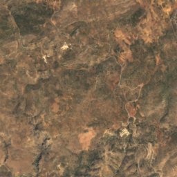
PaximadakiIsland3.4 kmNPaximadaki
Photo: Schuppi · CC BY-SA 3.0 · Wikimedia CommonsReport this photo · linked, not stored
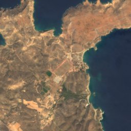
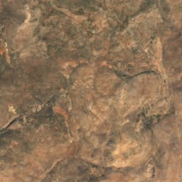
Paximada, CreteIsland5.4 kmNPaximada, Crete
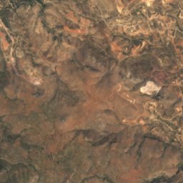
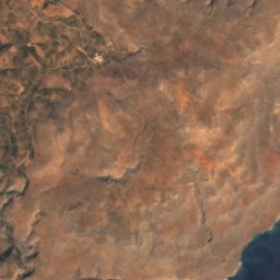
Satellite: Sentinel-2 cloudless 2016 by EOX IT Services GmbH · CC BY 4.0 · Contains modified Copernicus Sentinel data 2016

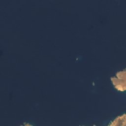
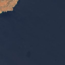
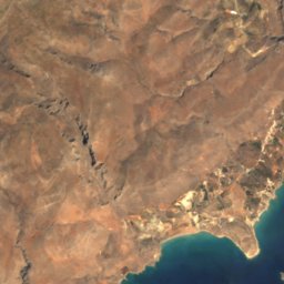
Spitfire reefIsland7.0 kmESpitfire reef
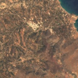
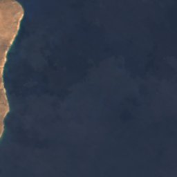
Satellite: Sentinel-2 cloudless 2016 by EOX IT Services GmbH · CC BY 4.0 · Contains modified Copernicus Sentinel data 2016

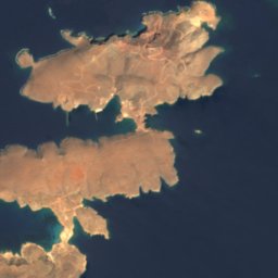
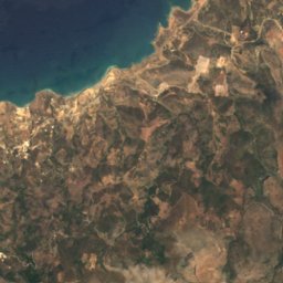
MegatzedesIsland8.0 kmSEMegatzedes
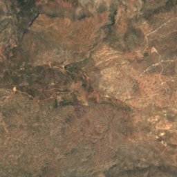
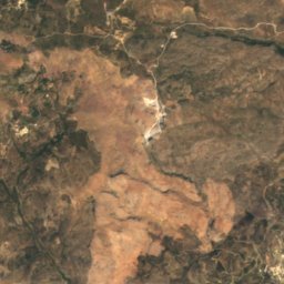
Satellite: Sentinel-2 cloudless 2016 by EOX IT Services GmbH · CC BY 4.0 · Contains modified Copernicus Sentinel data 2016

MavrosIsland8.0 kmSEMavros
Stay nearby

Towns close by

Váï
Photo: Marc Ryckaert (MJJR) · CC BY 3.0 · Wikimedia CommonsReport this photo · linked, not stored

Váï

Crete · 12 km SE
22°Oct high
8wet days
81score
Váï
Sitia
Photo: Marc Ryckaert (MJJR) · CC BY 3.0 · Wikimedia CommonsReport this photo · linked, not stored

Sitia

Crete · 15 km SW
22°Oct high
9wet days
78score
Sitia
Ayía Fotiá
Photo: Petro Stelte · CC BY-SA 4.0 · Wikimedia CommonsReport this photo · linked, not stored

Ayía Fotiá

Crete · 15 km S
21°Oct high
9wet days
78score
Ayía Fotiá
Palekastro
Photo: C messier · CC BY-SA 4.0 · Wikimedia CommonsReport this photo · linked, not stored

Palekastro

Crete · 16 km SE
22°Oct high
8wet days
81score
Palekastro
Around here

Váï and around

Váï
Photo: Marc Ryckaert (MJJR) · CC BY 3.0 · Wikimedia CommonsReport this photo · linked, not stored

Váï

Crete · Greece
Jun–Augbest months
25°July high
81 maltitude
Váï

Nature

Satellite: Sentinel-2 cloudless 2016 by EOX IT Services GmbH · CC BY 4.0 · Contains modified Copernicus Sentinel data 2016

15 km S

Pelekita Cave

Cave
Pelekita Cave
Satellite: Sentinel-2 cloudless 2016 by EOX IT Services GmbH · CC BY 4.0 · Contains modified Copernicus Sentinel data 2016

23 km SW

Ziros lake

Lake
Ziros lake
Elasa
Photo: Image Science and Analysis Laboratory, NASA-Johnson Space Center. "The Gateway t · Public domain · Wikimedia CommonsReport this photo · linked, not stored
7.2 km E

Elasa

Island · 79 m
Elasa

Mountains

Kapsas
Photo: C messier · CC BY-SA 4.0 · Wikimedia CommonsReport this photo · linked, not stored
38 km W

Kapsas

1,002 m
Kapsas

Heritage

Itanos
Photo: C messier · CC BY-SA 4.0 · Wikimedia CommonsReport this photo · linked, not stored
1.5 km N

Itanos

archaeological site in Greece
Itanos
Roussolakkos excavation
Photo: EinarB · CC BY-SA 3.0 · Wikimedia CommonsReport this photo · linked, not stored
6.6 km S

Roussolakkos excavation

archaeological site in Greece
Roussolakkos excavation
Toplou Monastery
Photo: Wouter Hagens · CC BY-SA 3.0 · Wikimedia CommonsReport this photo · linked, not stored
5.7 km SW

Toplou Monastery

archaeological site in Greece
Toplou Monastery

Museums

Museum of Toplou Monastery
Photo: Liubomir G · CC BY-SA 4.0 · Wikimedia CommonsReport this photo · linked, not stored
5.7 km SW

Museum of Toplou Monastery

Museum of Toplou Monastery
Palaikastro Folklore Museum
Photo: C messier · CC BY-SA 4.0 · Wikimedia CommonsReport this photo · linked, not stored
6.4 km S

Palaikastro Folklore Museum

Palaikastro Folklore Museum