Skip to content
Destinations
Weather & climate
Nature
Outdoors
Culture
Events
Sky & live
Fodele
Photo: NiTenIchiRyu · CC BY-SA 4.0 · Wikimedia Commons
FodeleReport this photo · linked, not stored
Mount Stroumboulas
Photo: Lourakis · CC BY-SA 4.0 · Wikimedia Commons
Mount StroumboulasReport this photo · linked, not stored
Mount Stroumboulas
BeachAchlada, Crete

Fodele

BeachBest May–Jul
Elevation–above sea level
Water qualityExcellentEU · 2025
Nearest townAchlada3.7 km
35.40° N, 24.95° EUTC+3 · Eastern European Summer Time
When to goAchlada · weather score
JanFebMarAprMayJunJulAugSepOctNovDec78October
Best timeMay–Jul
October: high / low22° / 17°
Beach

Fodele in brief

Fodele is a beach in Achlada, Crete, Greece — tourist beach.

The nearest town in the atlas is Achlada, 3.7 km to the E, where the weather is best in May, June and July.

Bathing water quality (EU, 2025): excellent.

The sea is warmest in August, at about 25°C.

Achlada: weather and travel guide

Weather nearby now

Forecast for Achlada
23°
Clear now
Wind1 km/h
Humidity70%
Cloud cover0%
Today
22 Oct
24°
18°
Fri
23 Oct
22°
19°
Sat
24 Oct
22°
18°
1 mm
Sun
25 Oct
21°
17°
Mon
26 Oct
20°
15°
7 mm

Model run 00:00 UTCRefreshed several times a day

Sea and air through the year

Sea surface temperature off the coast and the average daily high in Achlada, month by month.
Jan16°13°
Feb16°13°
Mar16°15°
Apr17°18°
May19°21°
Jun23°25°
Jul25°27°
Aug25°27°
Sep25°25°
Oct23°22°
Nov20°18°
Dec18°15°
seaair, daily high
When to go

The best months around Fodele

Climate of Achlada

Month score in Achlada

Comfort, dry days and sunshine · out of 100
39
Jan
42
Feb
63
Mar
85
Apr
91
May
96
Jun
91
Jul
88
Aug
89
Sep
78
Oct
74
Nov
47
Dec
Map

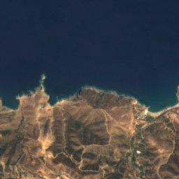
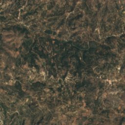
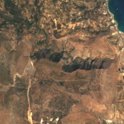
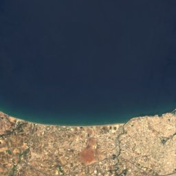
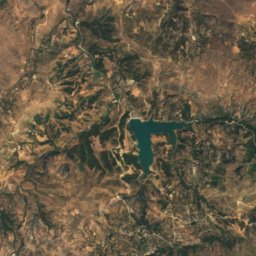
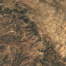
Fodele from above

Nature nearbyAll of Greece

Satellite: Sentinel-2 cloudless 2016 by EOX IT Services GmbH · CC BY 4.0 · Contains modified Copernicus Sentinel data 2016
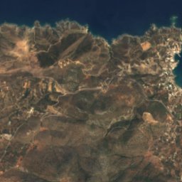
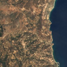
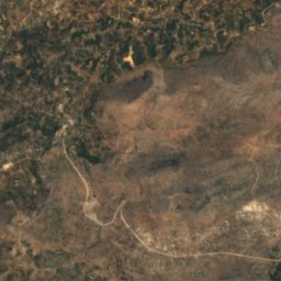
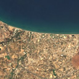
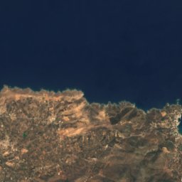
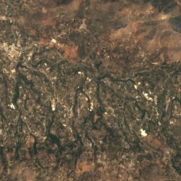
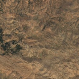
DiaporiIsland7.3 kmWDiapori
Satellite: Sentinel-2 cloudless 2016 by EOX IT Services GmbH · CC BY 4.0 · Contains modified Copernicus Sentinel data 2016

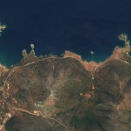
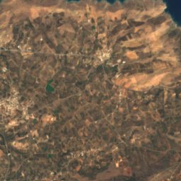
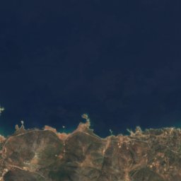
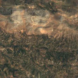
MadeBeach7.3 kmEMade
Satellite: Sentinel-2 cloudless 2016 by EOX IT Services GmbH · CC BY 4.0 · Contains modified Copernicus Sentinel data 2016

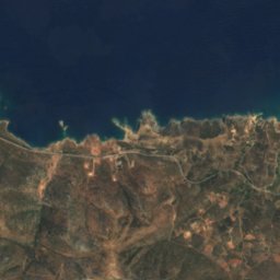
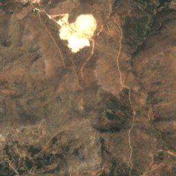
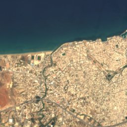
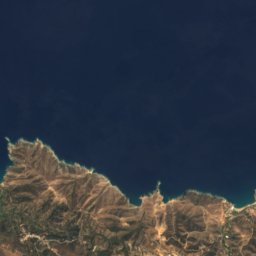
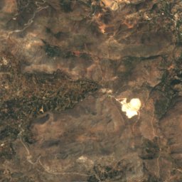
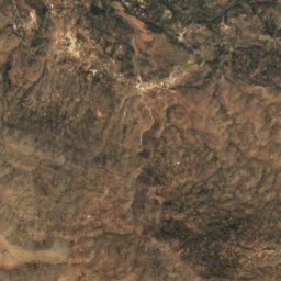
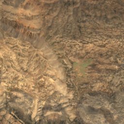
ArkalospiliosCave7.4 kmSArkalospilios
Satellite: Sentinel-2 cloudless 2016 by EOX IT Services GmbH · CC BY 4.0 · Contains modified Copernicus Sentinel data 2016

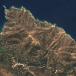
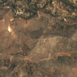
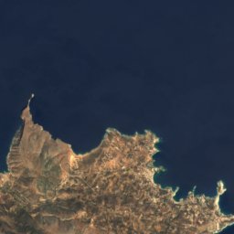
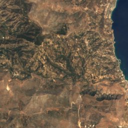
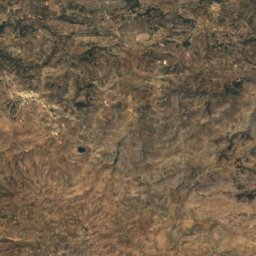
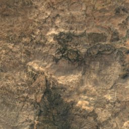
Doxa caveCave7.7 kmSEDoxa cave
Satellite: Sentinel-2 cloudless 2016 by EOX IT Services GmbH · CC BY 4.0 · Contains modified Copernicus Sentinel data 2016
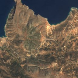
Prasonisi islet, CreteIsland10 kmWPrasonisi islet, Crete
Satellite: Sentinel-2 cloudless 2016 by EOX IT Services GmbH · CC BY 4.0 · Contains modified Copernicus Sentinel data 2016
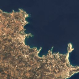
EllinoperamataBeach11 kmSEEllinoperamata
Summits nearbyMountains of Greece
Photo: Lourakis · CC BY-SA 4.0 · Wikimedia CommonsReport this photo · linked, not stored
Mount Stroumboulas8.7 km SE798 mJuly 27°Mount Stroumboulas
Satellite: Sentinel-2 cloudless 2016 by EOX IT Services GmbH · CC BY 4.0 · Contains modified Copernicus Sentinel data 2016

Pyrgos11 km S684 mJuly 28°Pyrgos
Stay nearby

Towns close by

Achlada
Photo: C messier · CC BY-SA 4.0 · Wikimedia CommonsReport this photo · linked, not stored

Achlada

Crete · 3.7 km E
22°Oct high
9wet days
78score
Achlada
Damasta
Photo: C messier · CC BY-SA 4.0 · Wikimedia CommonsReport this photo · linked, not stored

Damasta

Crete · 6.1 km SW
22°Oct high
9wet days
78score
Damasta
Marathos
Photo: C messier · CC BY-SA 4.0 · Wikimedia CommonsReport this photo · linked, not stored

Marathos

Crete · 6.4 km S
22°Oct high
9wet days
78score
Marathos
Rodia
Photo: C messier · CC0 · Wikimedia CommonsReport this photo · linked, not stored

Rodia

Crete · 7.4 km SE
22°Oct high
10wet days
77score
Rodia
Around here

Achlada and around

Achlada
Photo: C messier · CC BY-SA 4.0 · Wikimedia CommonsReport this photo · linked, not stored

Achlada

Crete · Greece
May–Julbest months
27°July high
302 maltitude
Achlada

Nature

Almyrós Potamós
Photo: C messier · CC BY-SA 4.0 · Wikimedia CommonsReport this photo · linked, not stored
8.8 km SE

Almyrós Potamós

River · 5 m
Almyrós Potamós
Satellite: Sentinel-2 cloudless 2016 by EOX IT Services GmbH · CC BY 4.0 · Contains modified Copernicus Sentinel data 2016

5.6 km S

Doxa cave

Cave
Doxa cave
Satellite: Sentinel-2 cloudless 2016 by EOX IT Services GmbH · CC BY 4.0 · Contains modified Copernicus Sentinel data 2016
7.0 km S

Arkalospilios

Cave
Arkalospilios

Mountains

Mount Ida
Photo: Jebulon · CC0 · Wikimedia CommonsReport this photo · linked, not stored
27 km SW

Mount Ida

2,456 m
Mount Ida
Satellite: Sentinel-2 cloudless 2016 by EOX IT Services GmbH · CC BY 4.0 · Contains modified Copernicus Sentinel data 2016
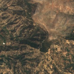
27 km SW

Mount Agathias

2,424 m
Mount Agathias
Mount Juktas
Photo: Handydad · CC BY 3.0 · Wikimedia CommonsReport this photo · linked, not stored
22 km SE

Mount Juktas

811 m
Mount Juktas

Heritage

Rocca a Mare
Photo: Γεώργιος Γιαννόπουλος · CC BY-SA 3.0 · Wikimedia CommonsReport this photo · linked, not stored
14 km SE

Rocca a Mare

archaeological site in Greece · 1523
Rocca a Mare
Hagios Titos church
Photo: Jebulon · CC0 · Wikimedia CommonsReport this photo · linked, not stored
14 km SE

Hagios Titos church

archaeological site in Greece · 1869
Hagios Titos church
Fortifications of Heraklion
Photo: C messier · CC0 · Wikimedia CommonsReport this photo · linked, not stored
14 km SE

Fortifications of Heraklion

archaeological site in Greece · 1462
Fortifications of Heraklion

Museums

Museum of El Greco
Photo: Jpbowen · CC BY-SA 3.0 · Wikimedia CommonsReport this photo · linked, not stored
3.9 km W

Museum of El Greco

Biographical museum · 1998
Museum of El Greco
Heraklion Archaeological Museum
Photo: Zde · CC BY-SA 4.0 · Wikimedia CommonsReport this photo · linked, not stored
15 km SE

Heraklion Archaeological Museum

Archaeological museum · 1883
Heraklion Archaeological Museum
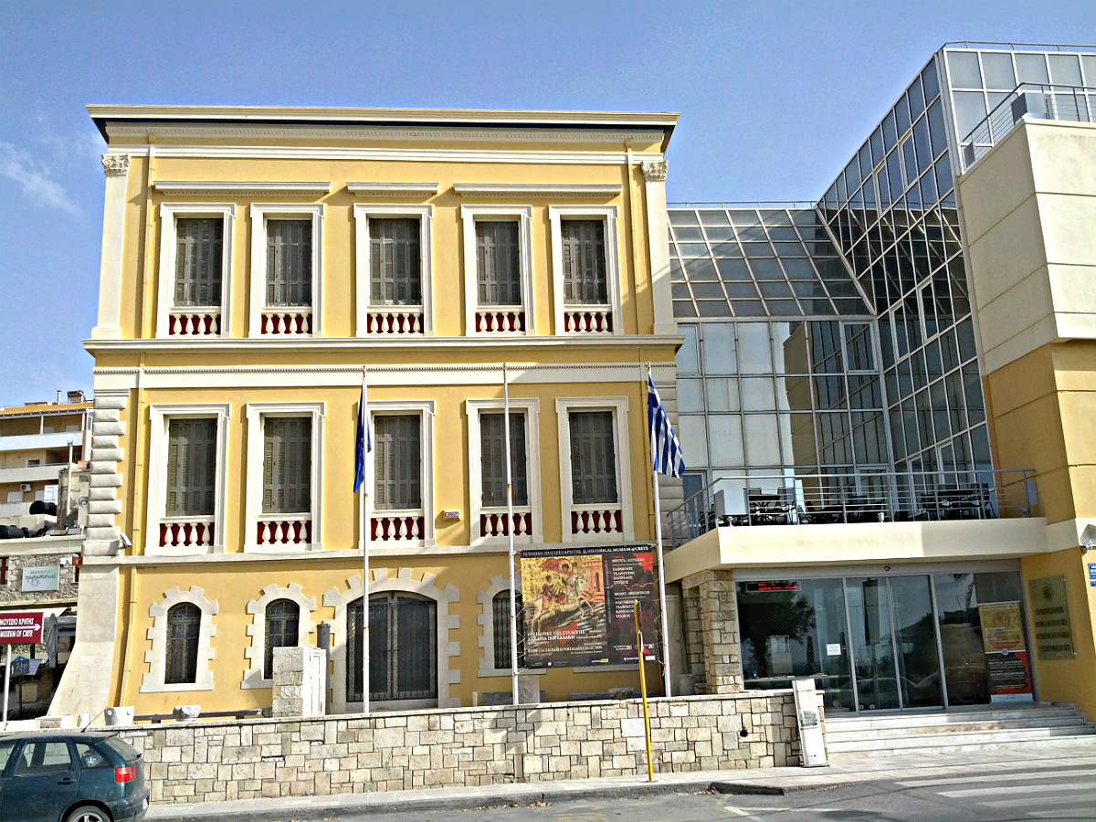
Historical Museum of Crete
Photo: Lourakis · CC BY-SA 4.0 · Wikimedia CommonsReport this photo · linked, not stored
14 km SE

Historical Museum of Crete

1953
Historical Museum of Crete