




























Skip to content
Destinations
Weather & climate
Nature
Outdoors
Culture
Events
Sky & live
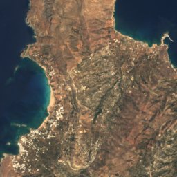
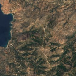
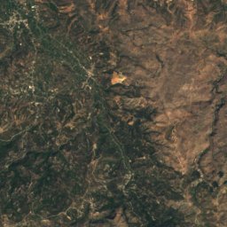
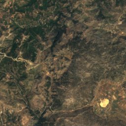
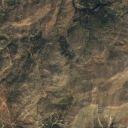
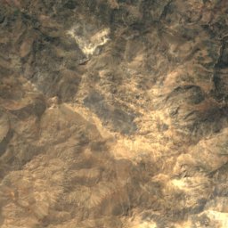
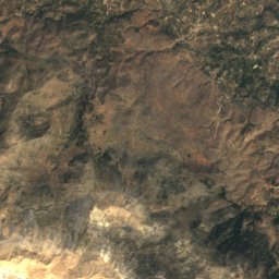
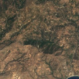
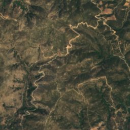
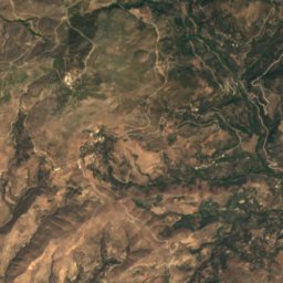
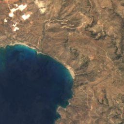
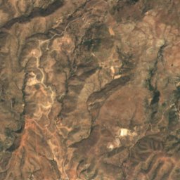
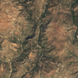
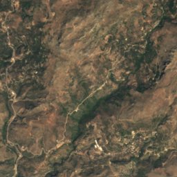
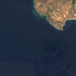
Satellite: Sentinel-2 cloudless 2016 by EOX IT Services GmbH · CC BY 4.0 · Contains modified Copernicus Sentinel data 2016
Elafonisi Beach
Photo: dronepicr · CC BY 2.0 · Wikimedia Commons
Elafonisi BeachReport this photo · linked, not stored
Elafonisi Beach
Elafonisi
Photo: dronepicr · CC BY 2.0 · Wikimedia Commons
ElafonisiReport this photo · linked, not stored
Elafonisi
Kedrodasos Beach
Photo: dronepicr · CC BY 2.0 · Wikimedia Commons
Kedrodasos BeachReport this photo · linked, not stored
Kedrodasos Beach
IslandPalaiochora, Crete

Artemis

IslandBest Apr–Jun
Elevation–above sea level
Area–surface
Nearest townPalaiochora14 km
35.27° N, 23.54° EUTC+3 · Eastern European Summer Time
When to goPalaiochora · weather score
JanFebMarAprMayJunJulAugSepOctNovDec75October
Best timeApr–Jun
October: high / low25° / 17°
Island

Artemis in brief

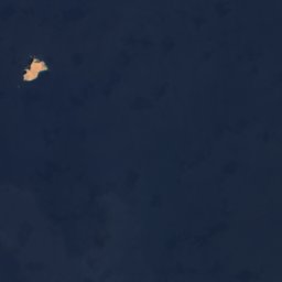
Artemis is an island in Palaiochora, Crete, Greece.

The nearest town in the atlas is Palaiochora, 14 km to the E, where the weather is best in April, May and June.

Palaiochora: weather and travel guide

Weather nearby now

Forecast for Palaiochora
21°
Sunny now
Wind9 km/h
Humidity71%
Cloud cover16%
Today
22 Oct
25°
17°
Fri
23 Oct
25°
16°
Sat
24 Oct
23°
13°
1 mm
Sun
25 Oct
22°
13°
Mon
26 Oct
18°
14°
17 mm

Model run 00:00 UTCRefreshed several times a day

When to go

The best months around Artemis

Climate of Palaiochora

Month score in Palaiochora

Comfort, dry days and sunshine · out of 100
52
Jan
56
Feb
76
Mar
86
Apr
88
May
81
Jun
73
Jul
68
Aug
71
Sep
75
Oct
72
Nov
59
Dec
Map

Artemis from above

Nature nearbyAll of Greece
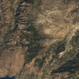
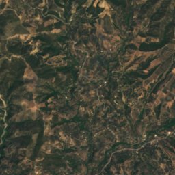
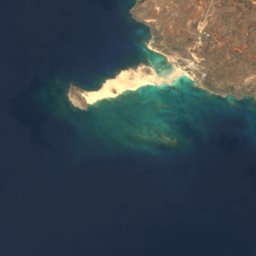
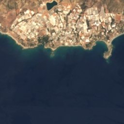
Satellite: Sentinel-2 cloudless 2016 by EOX IT Services GmbH · CC BY 4.0 · Contains modified Copernicus Sentinel data 2016
VoulismeniBeach0.5 kmNVoulismeni
Photo: dronepicr · CC BY 2.0 · Wikimedia CommonsReport this photo · linked, not stored
Elafonisi BeachBeach0.6 kmNElafonisi Beach
Photo: dronepicr · CC BY 2.0 · Wikimedia CommonsReport this photo · linked, not stored
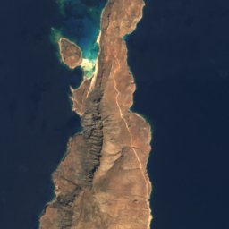
ElafonisiIsland0.7 kmNWElafonisi
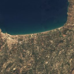
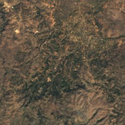
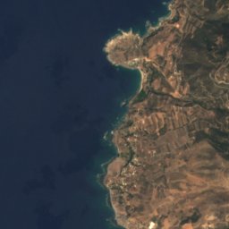
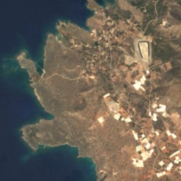
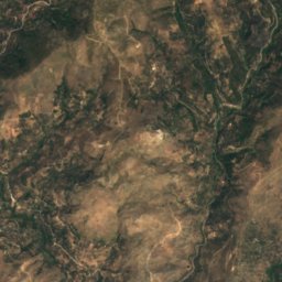
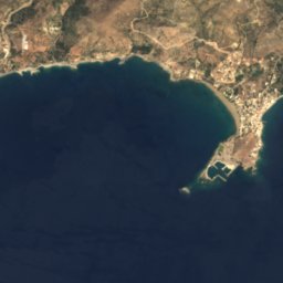
Satellite: Sentinel-2 cloudless 2016 by EOX IT Services GmbH · CC BY 4.0 · Contains modified Copernicus Sentinel data 2016
Plakoulithra rockIsland0.9 kmSWPlakoulithra rock
Photo: dronepicr · CC BY 2.0 · Wikimedia CommonsReport this photo · linked, not stored
Kedrodasos BeachBeach2.1 kmEKedrodasos Beach
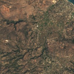
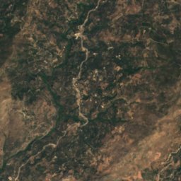
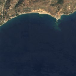
Satellite: Sentinel-2 cloudless 2016 by EOX IT Services GmbH · CC BY 4.0 · Contains modified Copernicus Sentinel data 2016
Aspri Limni BeachBeach4.9 kmNAspri Limni Beach
Summits nearbyMountains of Greece

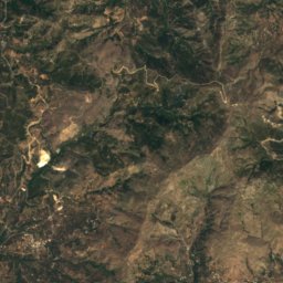
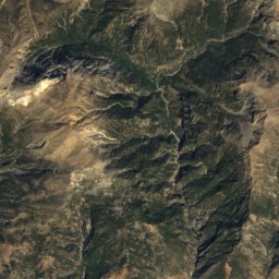
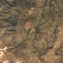
Satellite: Sentinel-2 cloudless 2016 by EOX IT Services GmbH · CC BY 4.0 · Contains modified Copernicus Sentinel data 2016
Manna21 km N389 mJuly 25°Manna
Stay nearby

Towns close by

Palaiochora
Photo: Aeleftherios · CC BY-SA 3.0 · Wikimedia CommonsReport this photo · linked, not stored

Palaiochora

Crete · 14 km E
25°Oct high
10wet days
75score
Palaiochora
Kandanos
Photo: Tomisti · CC BY-SA 4.0 · Wikimedia CommonsReport this photo · linked, not stored

Kandanos

Crete · 20 km E
23°Oct high
10wet days
77score
Kandanos
Temenia
Photo: C messier · CC BY-SA 4.0 · Wikimedia CommonsReport this photo · linked, not stored

Temenia

Crete · 20 km E
20°Oct high
8wet days
80score
Temenia
Rodhovánion
Photo: C messier · CC BY-SA 4.0 · Wikimedia CommonsReport this photo · linked, not stored

Rodhovánion

Crete · 22 km E
23°Oct high
8wet days
80score
Rodhovánion
Around here

Palaiochora and around

Palaiochora
Photo: Aeleftherios · CC BY-SA 3.0 · Wikimedia CommonsReport this photo · linked, not stored

Palaiochora

Crete · Greece
Apr–Junbest months
31°July high
5 maltitude
Palaiochora

Nature

Cave of Agia Sophia Topolia
Photo: Przemek Pietrak · CC BY-SA 3.0 · Wikimedia CommonsReport this photo · linked, not stored
20 km N

Cave of Agia Sophia Topolia

Cave
Cave of Agia Sophia Topolia
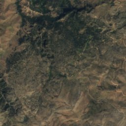
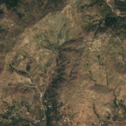
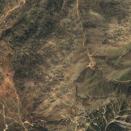
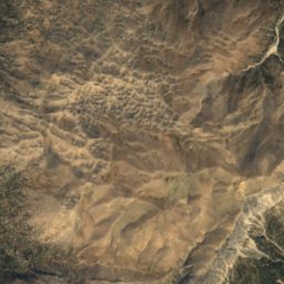
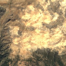
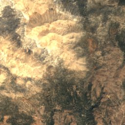
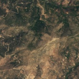
Satellite: Sentinel-2 cloudless 2016 by EOX IT Services GmbH · CC BY 4.0 · Contains modified Copernicus Sentinel data 2016
24 km NE

Tzanis Cave

Cave
Tzanis Cave
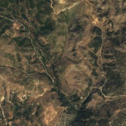
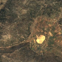
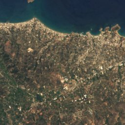
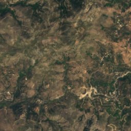
Satellite: Sentinel-2 cloudless 2016 by EOX IT Services GmbH · CC BY 4.0 · Contains modified Copernicus Sentinel data 2016
22 km NE

Omalos lake, Crete

Lake
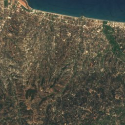
Omalos lake, Crete

Mountains

Pachnes
Photo: AWI · CC BY-SA 3.0 · Wikimedia CommonsReport this photo · linked, not stored
32 km E

Pachnes

2,453 m · Lefka Ori
Pachnes
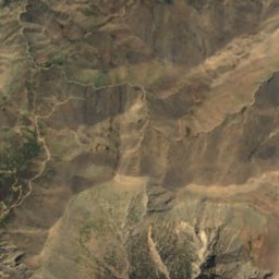
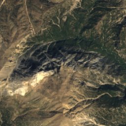
Satellite: Sentinel-2 cloudless 2016 by EOX IT Services GmbH · CC BY 4.0 · Contains modified Copernicus Sentinel data 2016
33 km NE

Malotira

1,701 m
Malotira
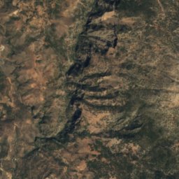
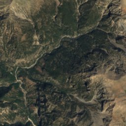
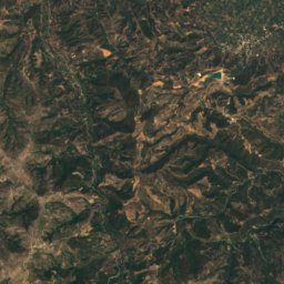
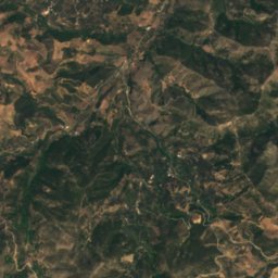
Satellite: Sentinel-2 cloudless 2016 by EOX IT Services GmbH · CC BY 4.0 · Contains modified Copernicus Sentinel data 2016
35 km NE

Anginares

1,239 m
Anginares

Heritage

Sotiros Christou church
Photo: C messier · CC BY-SA 4.0 · Wikimedia CommonsReport this photo · linked, not stored
9.1 km NE

Sotiros Christou church

archaeological site in Greece · 1300
Sotiros Christou church
Elyros
Photo: C messier · CC BY-SA 4.0 · Wikimedia CommonsReport this photo · linked, not stored
12 km NE

Elyros

archaeological site in Greece
Elyros
Yrtakina
Photo: Tomisti · CC BY-SA 4.0 · Wikimedia CommonsReport this photo · linked, not stored
8.2 km NE

Yrtakina

archaeological site in Greece
Yrtakina