








Skip to content
Destinations
Weather & climate
Nature
Outdoors
Culture
Events
Sky & live
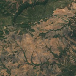
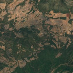
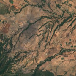
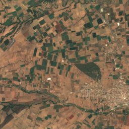
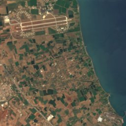
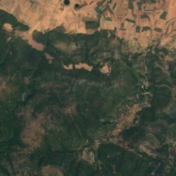
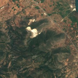
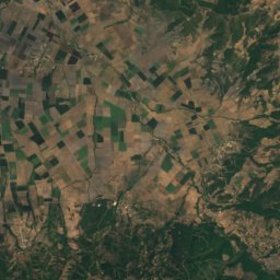
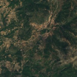
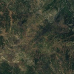
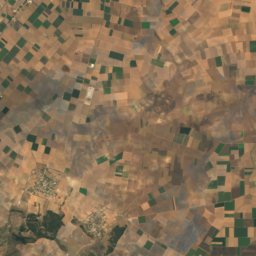
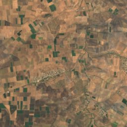
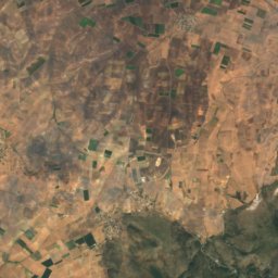
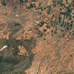
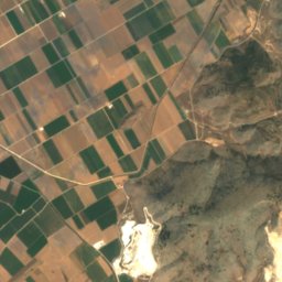
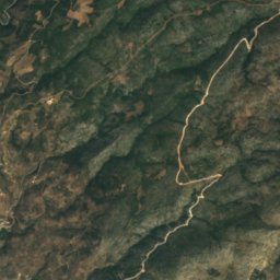
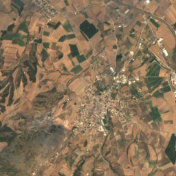
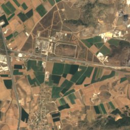
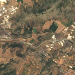
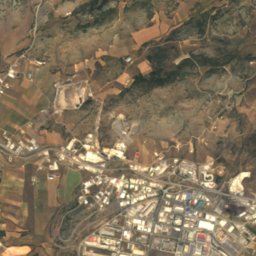
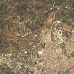
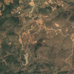
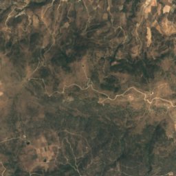
Satellite: Sentinel-2 cloudless 2016 by EOX IT Services GmbH · CC BY 4.0 · Contains modified Copernicus Sentinel data 2016
Pelion
Photo: Heidi B · CC BY 2.5 · Wikimedia Commons
PelionReport this photo · linked, not stored
Pelion
Chalkodonio
Photo: Γιώργος Γιουβρής · CC0 · Wikimedia Commons
ChalkodonioReport this photo · linked, not stored
Chalkodonio
BeachDimini, Thessaly

Amarylida

BeachBest Apr–May · Oct
Elevation–above sea level
Water qualityExcellentEU · 2025
Nearest townDimini7.0 km
39.31° N, 22.94° EUTC+3 · Eastern European Summer Time
When to goDimini · weather score
JanFebMarAprMayJunJulAugSepOctNovDec84October
Best timeApr–May · Oct
October: high / low21° / 15°
Beach

Amarylida in brief

Amarylida is a beach in Dimini, Thessaly, Greece — tourist beach.

The nearest town in the atlas is Dimini, 7.0 km to the NW, where the weather is best in April, May and October.

Bathing water quality (EU, 2025): excellent.

The sea is warmest in August, at about 26°C.

Dimini: weather and travel guide

Weather nearby now

Forecast for Dimini
22°
Sunny now
Wind1 km/h
Humidity77%
Cloud cover5%
Today
22 Oct
23°
19°
Fri
23 Oct
22°
17°
1 mm
Sat
24 Oct
21°
16°
Sun
25 Oct
21°
17°
Mon
26 Oct
21°
15°
1 mm

Model run 00:00 UTCRefreshed several times a day

Sea and air through the year

Sea surface temperature off the coast and the average daily high in Dimini, month by month.
Jan14°10°
Feb14°12°
Mar14°14°
Apr15°18°
May19°23°
Jun23°27°
Jul25°29°
Aug26°29°
Sep25°26°
Oct22°21°
Nov19°16°
Dec16°12°
seaair, daily high
When to go

The best months around Amarylida

Climate of Dimini

Month score in Dimini

Comfort, dry days and sunshine · out of 100
34
Jan
45
Feb
58
Mar
83
Apr
85
May
77
Jun
74
Jul
75
Aug
82
Sep
84
Oct
66
Nov
36
Dec
Map

Amarylida from above

Nature nearbyAll of Greece
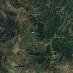
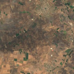
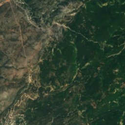
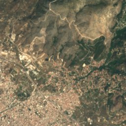
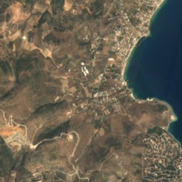
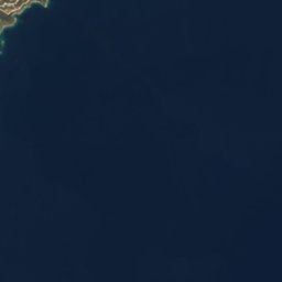
Satellite: Sentinel-2 cloudless 2016 by EOX IT Services GmbH · CC BY 4.0 · Contains modified Copernicus Sentinel data 2016
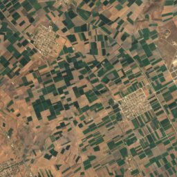
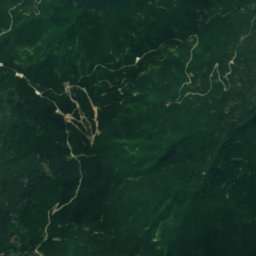
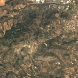
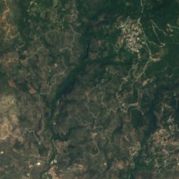
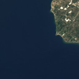
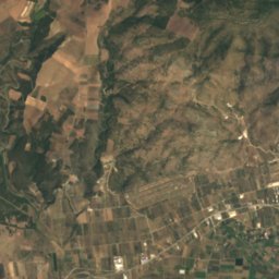
AmfanonBeach0.6 kmNWAmfanon
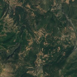
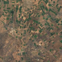
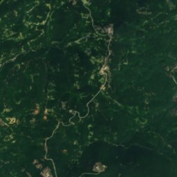
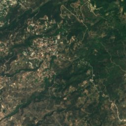
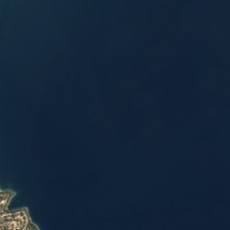
Satellite: Sentinel-2 cloudless 2016 by EOX IT Services GmbH · CC BY 4.0 · Contains modified Copernicus Sentinel data 2016
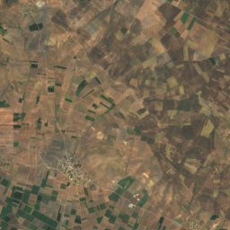
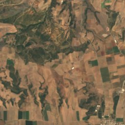
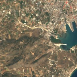
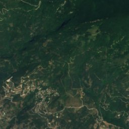
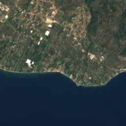
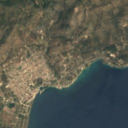
Agios Nikolaos, ThessalyIsland1.2 kmSAgios Nikolaos, Thessaly
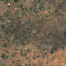
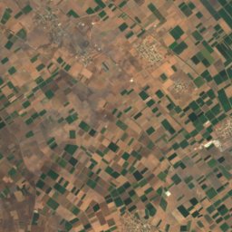
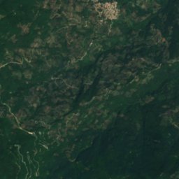
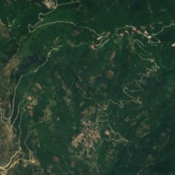
Satellite: Sentinel-2 cloudless 2016 by EOX IT Services GmbH · CC BY 4.0 · Contains modified Copernicus Sentinel data 2016
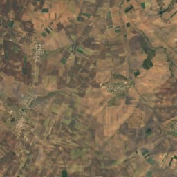
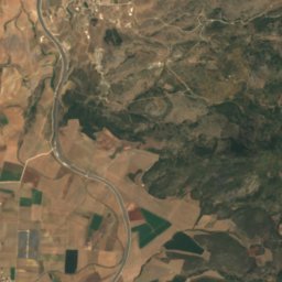
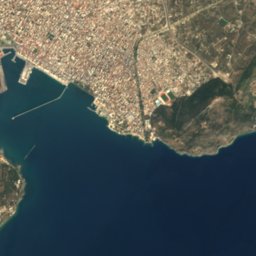
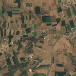
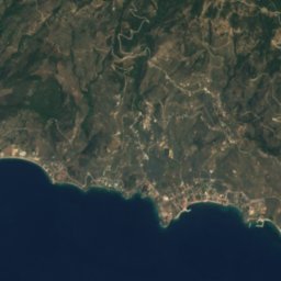
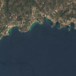
AlykesBeach2.4 kmNWAlykes
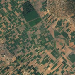
Satellite: Sentinel-2 cloudless 2016 by EOX IT Services GmbH · CC BY 4.0 · Contains modified Copernicus Sentinel data 2016
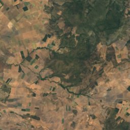
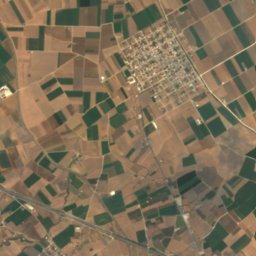
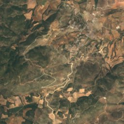
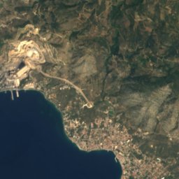
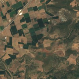
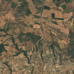
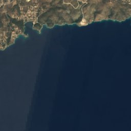
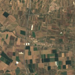
AnavrosRiver5.3 kmNEAnavros
Satellite: Sentinel-2 cloudless 2016 by EOX IT Services GmbH · CC BY 4.0 · Contains modified Copernicus Sentinel data 2016
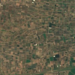
Anavros beachBeach5.3 kmNAnavros beach
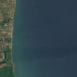
Satellite: Sentinel-2 cloudless 2016 by EOX IT Services GmbH · CC BY 4.0 · Contains modified Copernicus Sentinel data 2016
PlakesBeach5.4 kmNEPlakes
Summits nearbyMountains of Greece
Photo: Heidi B · CC BY 2.5 · Wikimedia CommonsReport this photo · linked, not stored
Pelion17 km NE1,543 mJuly 18°Pelion
Photo: Γιώργος Γιουβρής · CC0 · Wikimedia CommonsReport this photo · linked, not stored
Chalkodonio24 km W724 mJuly 28°Chalkodonio
Stay nearby

Towns close by

Dimini
Photo: Kritheus · CC BY-SA 4.0 · Wikimedia CommonsReport this photo · linked, not stored

Dimini

Thessaly · 7.0 km NW
21°Oct high
7wet days
84score
Dimini
Volos
Photo: Tsints · CC BY-SA 3.0 · Wikimedia CommonsReport this photo · linked, not stored

Volos

Thessaly · 7.1 km N
21°Oct high
7wet days
84score
Volos
Agria
Photo: Thaliapap · CC BY-SA 3.0 · Wikimedia CommonsReport this photo · linked, not stored

Agria

Thessaly · 7.4 km NE
21°Oct high
7wet days
85score
Agria
Nea Ionia
Photo: OrthoArchitectDU · CC BY 3.0 · Wikimedia CommonsReport this photo · linked, not stored

Nea Ionia

Thessaly · 8.2 km N
21°Oct high
7wet days
84score
Nea Ionia
Around here

Dimini and around

Dimini
Photo: Kritheus · CC BY-SA 4.0 · Wikimedia CommonsReport this photo · linked, not stored

Dimini

Thessaly · Greece
Apr–May · Octbest months
29°July high
40 maltitude
Dimini

Nature

Krausidonas
Photo: OrthoArchitectDU · CC BY 3.0 · Wikimedia CommonsReport this photo · linked, not stored
3.4 km E

Krausidonas

River
Krausidonas
Satellite: Sentinel-2 cloudless 2016 by EOX IT Services GmbH · CC BY 4.0 · Contains modified Copernicus Sentinel data 2016
6.2 km E

Anavros

River
Anavros
Lake Karla
Photo: Karakoy99 · CC BY-SA 4.0 · Wikimedia CommonsReport this photo · linked, not stored
16 km NW

Lake Karla

Lake · 42 m
Lake Karla

Mountains

Pelion
Photo: Heidi B · CC BY 2.5 · Wikimedia CommonsReport this photo · linked, not stored
16 km NE

Pelion

1,543 m
Pelion
Satellite: Sentinel-2 cloudless 2016 by EOX IT Services GmbH · CC BY 4.0 · Contains modified Copernicus Sentinel data 2016
34 km SW

Kótsalos

779 m
Kótsalos
Satellite: Sentinel-2 cloudless 2016 by EOX IT Services GmbH · CC BY 4.0 · Contains modified Copernicus Sentinel data 2016
28 km W

Mavrovouni (Agnanteris-Larisas)

725 m
Mavrovouni (Agnanteris-Larisas)

Heritage

Dimini archaeological site
Photo: Kritheus · CC BY-SA 4.0 · Wikimedia CommonsReport this photo · linked, not stored
0.3 km N

Dimini archaeological site

archaeological site in Greece
Dimini archaeological site
Sesklo archaeological site
Photo: Kritheus · CC BY-SA 4.0 · Wikimedia CommonsReport this photo · linked, not stored
4.5 km W

Sesklo archaeological site

archaeological site in Greece · 7000 BC
Sesklo archaeological site
Phthiotic Thebes
Photo: Unknown author · CC BY 3.0 · Wikimedia CommonsReport this photo · linked, not stored
15 km SW

Phthiotic Thebes

archaeological site in Greece
Phthiotic Thebes

Museums

Thessaly Railway Museum
Photo: C messier · CC BY-SA 4.0 · Wikimedia CommonsReport this photo · linked, not stored
3.8 km E

Thessaly Railway Museum

Railway museum · 2006
Thessaly Railway Museum
Rooftile and Brickworks Museum N. & S. Tsalapatas
Photo: C messier · CC BY-SA 4.0 · Wikimedia CommonsReport this photo · linked, not stored
3.4 km E

Rooftile and Brickworks Museum N. & S. Tsalapatas
Rooftile and Brickworks Museum N. & S. Tsalapatas
Satellite: Sentinel-2 cloudless 2016 by EOX IT Services GmbH · CC BY 4.0 · Contains modified Copernicus Sentinel data 2016
3.9 km E

Natural history museum (Volos)

Natural history museum · 2012
Natural history museum (Volos)