

Photo: Vanbasten 23 · CC BY-SA 3.0 · Wikimedia Commons
Alki rockReport this photo · linked, not stored
Alki rockAlki rockReport this photo · linked, not stored

Photo: Vanbasten 23 · CC BY-SA 3.0 · Wikimedia Commons
Apollonos isletReport this photo · linked, not stored
Apollonos isletApollonos isletReport this photo · linked, not stored

Photo: Vanbasten 23 · CC BY-SA 3.0 · Wikimedia Commons
Grotta beachReport this photo · linked, not stored
Grotta beachGrotta beachReport this photo · linked, not stored
 Zas mountain
IslandNaxos, South Aegean
Alki
IslandBest Jun–Aug
Elevation–above sea level
Area–surface
Nearest townNaxos0.6 km
37.11° N, 25.37° EUTC+3 · Eastern European Summer Time
When to goNaxos · weather score
Best timeJun–Aug
October: high / low20° / 19°
Island
Alki in brief
Alki is an island in Naxos, South Aegean, Greece.
The nearest town in the atlas is Naxos, 0.6 km to the SE, where the weather is best in June, July and August.
Weather nearby now
Forecast for Naxos21°
Clear now
Today
22 Oct
22°
17°
Fri
23 Oct
22°
18°
2 mm
Sat
24 Oct
22°
17°
1 mm
Sun
25 Oct
21°
15°
Mon
26 Oct
19°
16°
14 mm
Model run 00:00 UTCRefreshed several times a day
Map
Alki from above
Nature nearbyAll of Greece


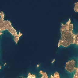
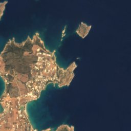


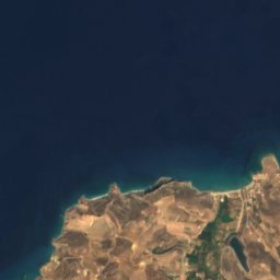
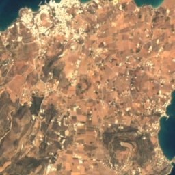
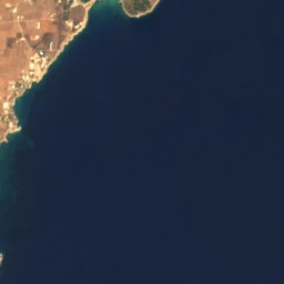
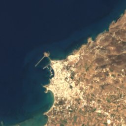
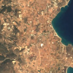
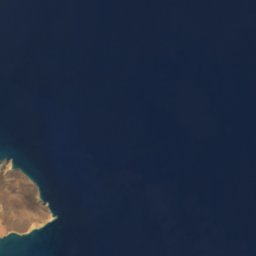
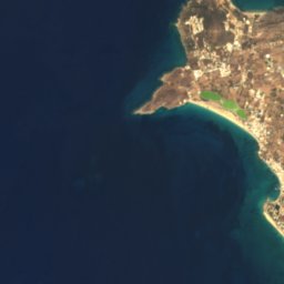
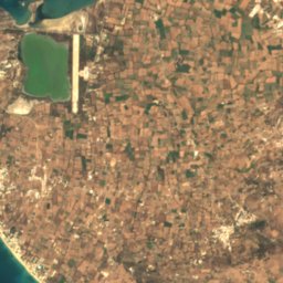
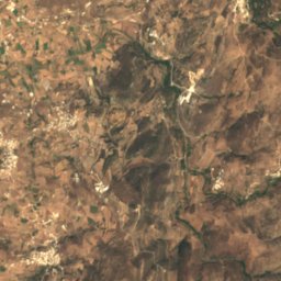
Satellite: Sentinel-2 cloudless 2016 by EOX IT Services GmbH · CC BY 4.0 · Contains modified Copernicus Sentinel data 2016
Satellite: Sentinel-2 cloudless 2016 by EOX IT Services GmbH · CC BY 4.0 · Contains modified Copernicus Sentinel data 2016
Satellite: Sentinel-2 cloudless 2016 by EOX IT Services GmbH · CC BY 4.0 · Contains modified Copernicus Sentinel data 2016
Summits nearbyMountains of Greece

Stay nearby
Towns close by


Photo: Smtunli, Svein-Magne Tunli - http://www.tunliweb.no/SM/English/sm_eng.htm · CC BY-SA 3.0 · Wikimedia CommonsReport this photo · linked, not stored
Naousa
South Aegean · 12 km W
20°Oct high
6wet days
87score
Around here
Naxos and around
Nature




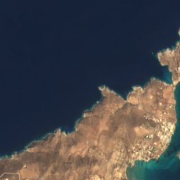


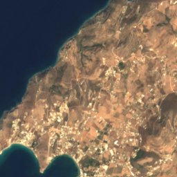
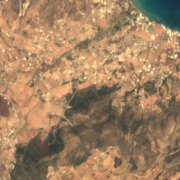

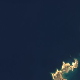
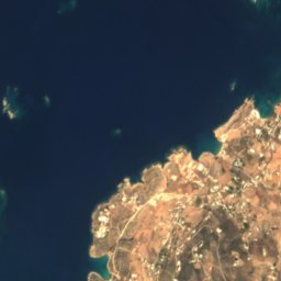
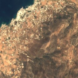
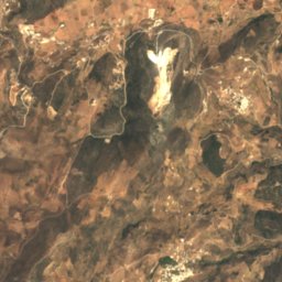
Satellite: Sentinel-2 cloudless 2016 by EOX IT Services GmbH · CC BY 4.0 · Contains modified Copernicus Sentinel data 2016
Cave of Archilochos (Paros)
Cave
Satellite: Sentinel-2 cloudless 2016 by EOX IT Services GmbH · CC BY 4.0 · Contains modified Copernicus Sentinel data 2016
Cave of Archilochus
Cave
Mountains

Heritage


Photo: Manfred Werner (Tsui) · CC BY-SA 4.0 · Wikimedia CommonsReport this photo · linked, not stored
Kastro, Naxos
archaeological site in Greece

Saint George Diasoritis, Naxos
protected building in Greece · 1001
Museums

Archaeological Museum of Naxos
Archaeological museum · 1972






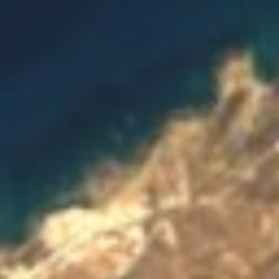


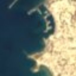
Satellite: Sentinel-2 cloudless 2016 by EOX IT Services GmbH · CC BY 4.0 · Contains modified Copernicus Sentinel data 2016
Venetian Museum


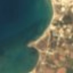


Satellite: Sentinel-2 cloudless 2016 by EOX IT Services GmbH · CC BY 4.0 · Contains modified Copernicus Sentinel data 2016
Archaeological Collection of Yria, Naxos
Archaeological museum