

Photo: Rabensteiner 14:44, 5. Nov. 2007 (CET) · Public domain · Wikimedia Commons
ChemnitzReport this photo · linked, not stored
ChemnitzChemnitzReport this photo · linked, not stored

Photo: ProfessorX · CC BY-SA 3.0 · Wikimedia Commons
Talsperre EubaReport this photo · linked, not stored
Talsperre EubaTalsperre EubaReport this photo · linked, not stored

Photo: André Karwath aka Aka · CC BY-SA 2.5 · Wikimedia Commons
Stausee OberrabensteinReport this photo · linked, not stored
Stausee OberrabensteinStausee OberrabensteinReport this photo · linked, not stored
 Schatzenstein
RiverNeukirchen, Saxony
Zwönitz
RiverBest May · Aug–Sep
Elevation–above sea level
Length39 kmsource to mouth
Nearest townNeukirchen4.1 km
50.79° N, 12.92° EUTC+1 · Central European Standard Time
When to goNeukirchen · weather score
Best timeMay · Aug–Sep
October: high / low13° / 6°
River
Zwönitz in brief
Zwönitz is a river in Neukirchen, Saxony, Germany.
The nearest town is Neukirchen, 4.1 km to the W, where the weather is best in May, August and September.
Zwönitz is 39 km long.
Weather nearby now
Forecast for Neukirchen10°
Clear now
Today
27 Oct
16°
6°
Wed
28 Oct
11°
5°
7 mm
Thu
29 Oct
12°
3°
Fri
30 Oct
11°
5°
Sat
31 Oct
9°
6°
1 mm
Model run 00:00 UTCRefreshed several times a day
The course of the river
As mapped in OpenStreetMap, with the towns along its banks.- 1Zwönitz521 m
- 2Dorfchemnitz474 m
- 3Hormersdorf528 m
- 4Thalheim443 m
- 5Gornsdorf461 m
- 6Burkhardtsdorf405 m
sourcemouth (or where the mapped line leaves the country)
When to go
Climate of NeukirchenThe best months around Zwönitz
Month score in Neukirchen
Comfort, dry days and sunshine · out of 10016
Jan
25
Feb
23
Mar
53
Apr
64
May
64
Jun
64
Jul
67
Aug
70
Sep
45
Oct
21
Nov
15
Dec
Map
Zwönitz from above
Nature nearbyAll of Germany
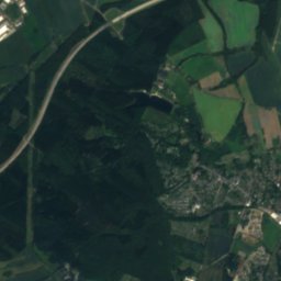
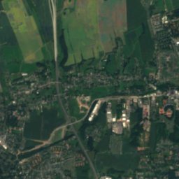
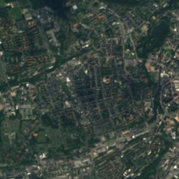
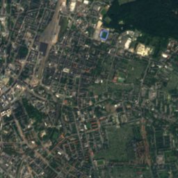
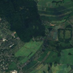
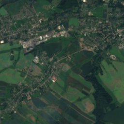
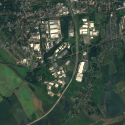
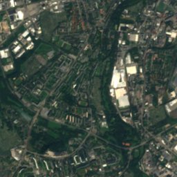
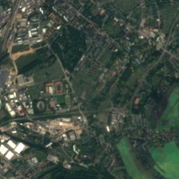
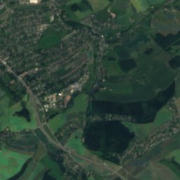
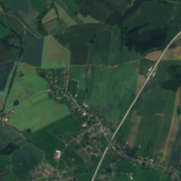
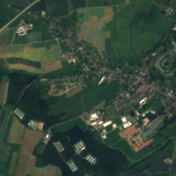
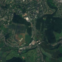
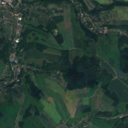
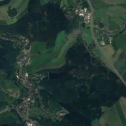
Satellite: Sentinel-2 cloudless 2016 by EOX IT Services GmbH · CC BY 4.0 · Contains modified Copernicus Sentinel data 2016

Photo: Rabensteiner 14:44, 5. Nov. 2007 (CET) · Public domain · Wikimedia CommonsReport this photo · linked, not stored
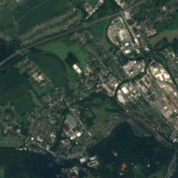
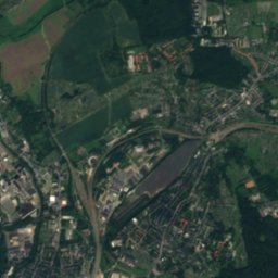
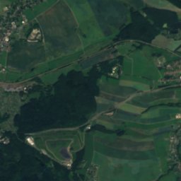
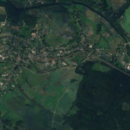
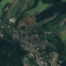
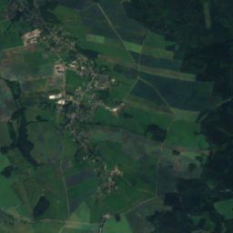
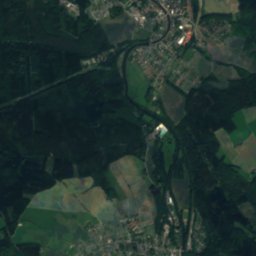
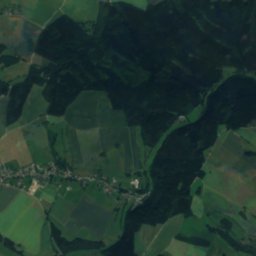
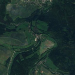
Satellite: Sentinel-2 cloudless 2016 by EOX IT Services GmbH · CC BY 4.0 · Contains modified Copernicus Sentinel data 2016


Photo: André Karwath aka Aka · CC BY-SA 2.5 · Wikimedia CommonsReport this photo · linked, not stored
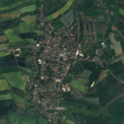
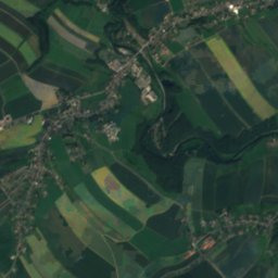
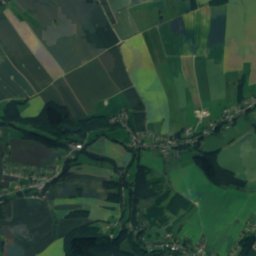
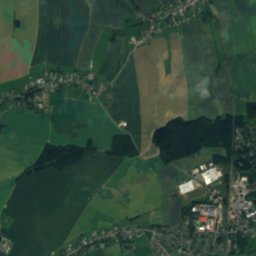
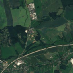
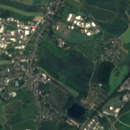
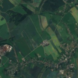
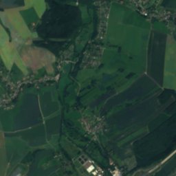
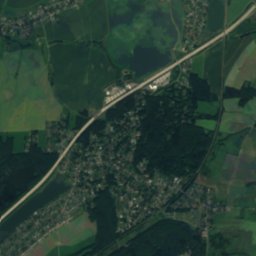
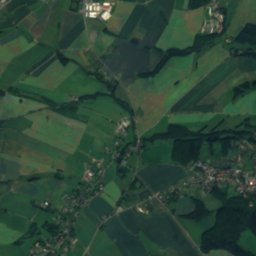
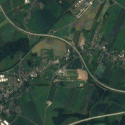
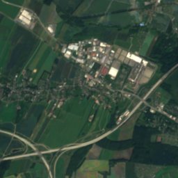
Satellite: Sentinel-2 cloudless 2016 by EOX IT Services GmbH · CC BY 4.0 · Contains modified Copernicus Sentinel data 2016
Summits nearbyMountains of Germany


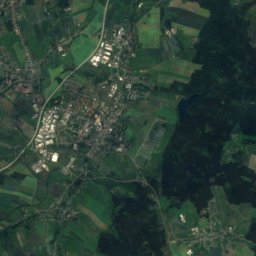
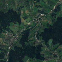
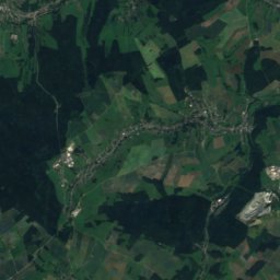
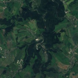
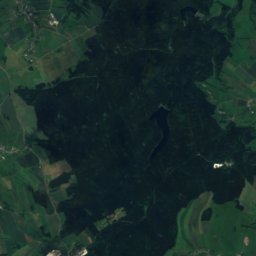
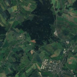
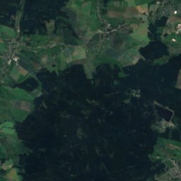
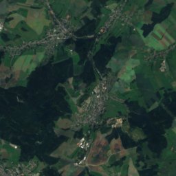
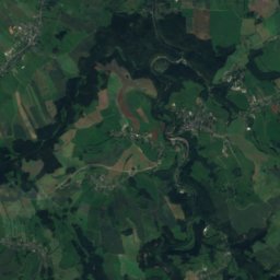
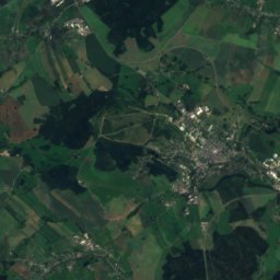
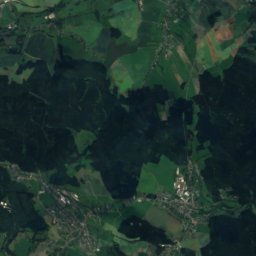
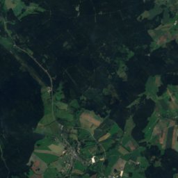
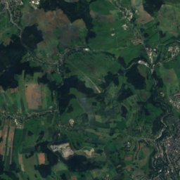
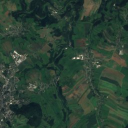
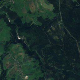
Satellite: Sentinel-2 cloudless 2016 by EOX IT Services GmbH · CC BY 4.0 · Contains modified Copernicus Sentinel data 2016
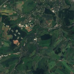
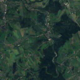
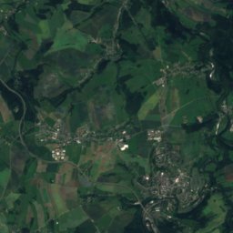
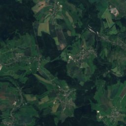
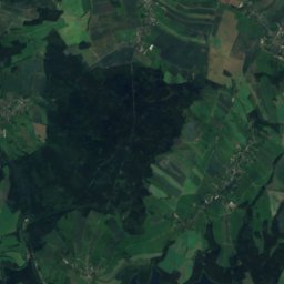
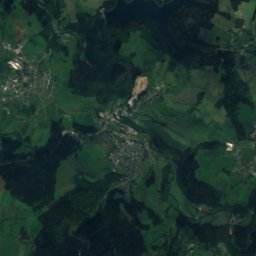
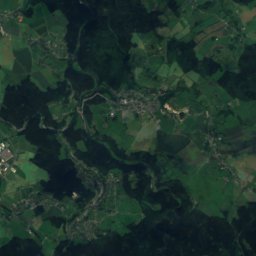
Satellite: Sentinel-2 cloudless 2016 by EOX IT Services GmbH · CC BY 4.0 · Contains modified Copernicus Sentinel data 2016


Stay nearby
Towns close by

Photo: The original uploader was Bluelkw at German Wikipedia. · CC BY-SA 3.0 · Wikimedia CommonsReport this photo · linked, not stored
Neukirchen
Saxony · 4.1 km W
13°Oct high
10wet days
45score


Around here
Neukirchen and around
Photo: The original uploader was Bluelkw at German Wikipedia. · CC BY-SA 3.0 · Wikimedia CommonsReport this photo · linked, not stored
Neukirchen
Saxony · Germany
May · Aug–Sepbest months
24°July high
354 maltitude
Nature
Photo: Rabensteiner 14:44, 5. Nov. 2007 (CET) · Public domain · Wikimedia CommonsReport this photo · linked, not stored
Chemnitz
River · 181 m
Satellite: Sentinel-2 cloudless 2016 by EOX IT Services GmbH · CC BY 4.0 · Contains modified Copernicus Sentinel data 2016
Würschnitz
River

Mountains

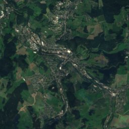
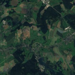
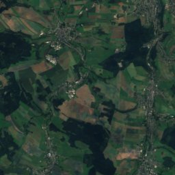
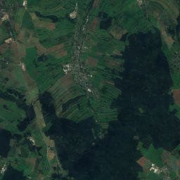
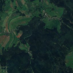
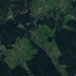
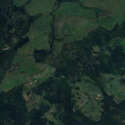
Satellite: Sentinel-2 cloudless 2016 by EOX IT Services GmbH · CC BY 4.0 · Contains modified Copernicus Sentinel data 2016
Eisenberg (Ore Mountains)
1,028 m · Ore Mountains

Photo: André Karwath aka Aka · CC BY-SA 2.5 · Wikimedia CommonsReport this photo · linked, not stored
Auersberg
1,019 m · Ore Mountains
Heritage


Photo: Reinhard aus Sachsen · CC BY-SA 3.0 · Wikimedia CommonsReport this photo · linked, not stored
Chemnitz Opera
Kulturdenkmal · 1909
Museums

Staatliches Museum für Archäologie Chemnitz
Archaeological museum · 2014


