Skip to content
Destinations
Weather & climate
Nature
Outdoors
Culture
Events
Sky & live
Zeiselbach
Photo: Teilzeittroll · CC BY-SA 3.0 · Wikimedia Commons
ZeiselbachReport this photo · linked, not stored
Söllbach
Photo: Stefan Meister · CC BY-SA 4.0 · Wikimedia Commons
SöllbachReport this photo · linked, not stored
Söllbach
Breitenbach (Tegernsee)
Photo: Teilzeittroll · CC BY-SA 3.0 · Wikimedia Commons
Breitenbach (Tegernsee)Report this photo · linked, not stored
Breitenbach (Tegernsee)
Alpbach
Photo: Teilzeittroll · CC BY-SA 3.0 · Wikimedia Commons
AlpbachReport this photo · linked, not stored
Alpbach
Quirinbach
Photo: SchulteR4339 · CC BY-SA 4.0 · Wikimedia Commons
QuirinbachReport this photo · linked, not stored
Quirinbach
RiverBad Wiessee, Bavaria

Zeiselbach

RiverBest Jul–Sep
Elevation–above sea level
Length5.5 kmsource to mouth
Nearest townBad Wiessee1.1 km
47.71° N, 11.73° EUTC+2 · Central European Summer Time
When to goBad Wiessee · weather score
JanFebMarAprMayJunJulAugSepOctNovDec44October
Best timeJul–Sep
October: high / low14° / 4°
River

Zeiselbach in brief

Zeiselbach is a river in Bad Wiessee, Bavaria, Germany.

The nearest town in the atlas is Bad Wiessee, 1.1 km to the NW, where the weather is best in July, August and September.

Zeiselbach is 5.5 km long.

Bad Wiessee: weather and travel guide

Weather nearby now

Forecast for Bad Wiessee
5°
Clear now
Wind4 km/h
Humidity86%
Cloud cover0%
Today
22 Oct
11°
4°
3 mm
Fri
23 Oct
14°
4°
2 mm
Sat
24 Oct
7°
3°
Sun
25 Oct
13°
4°
14 mm
Mon
26 Oct
12°
7°

Model run 00:00 UTCRefreshed several times a day

When to go

The best months around Zeiselbach

Climate of Bad Wiessee

Month score in Bad Wiessee

Comfort, dry days and sunshine · out of 100
20
Jan
24
Feb
19
Mar
45
Apr
62
May
62
Jun
65
Jul
65
Aug
63
Sep
44
Oct
26
Nov
19
Dec
Map

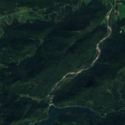
Zeiselbach from above

Nature nearbyAll of Germany
Photo: Stefan Meister · CC BY-SA 4.0 · Wikimedia CommonsReport this photo · linked, not stored
SöllbachRiver1.0 kmSESöllbach
Photo: Teilzeittroll · CC BY-SA 3.0 · Wikimedia CommonsReport this photo · linked, not stored
Breitenbach (Tegernsee)River1.1 kmNBreitenbach (Tegernsee)
Photo: Teilzeittroll · CC BY-SA 3.0 · Wikimedia CommonsReport this photo · linked, not stored
AlpbachRiver1.6 kmEAlpbach
Photo: SchulteR4339 · CC BY-SA 4.0 · Wikimedia CommonsReport this photo · linked, not stored
QuirinbachRiver1.8 kmNEQuirinbach
Photo: Carsten Steger · CC BY-SA 4.0 · Wikimedia CommonsReport this photo · linked, not stored
TegernseeLake1.9 kmNTegernsee
Photo: Teilzeittroll · CC BY-SA 3.0 · Wikimedia CommonsReport this photo · linked, not stored
Weißach (Tegernsee)River2.0 kmSWeißach (Tegernsee)
Summits nearbyMountains of Germany
Photo: Unknown author · CC BY-SA 3.0 · Wikimedia CommonsReport this photo · linked, not stored
Guffert19 km S2,194 mJuly 13°Guffert
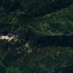
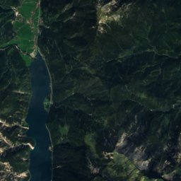
Satellite: Sentinel-2 cloudless 2016 by EOX IT Services GmbH · CC BY 4.0 · Contains modified Copernicus Sentinel data 2016
Vorderunnutz22 km S2,078 mJuly 13°Vorderunnutz
Photo: Max Berger · CC BY-SA 4.0 · Wikimedia CommonsReport this photo · linked, not stored
Hochunnutz21 km S2,075 mJuly 13°Hochunnutz
Photo: Svíčková · CC BY-SA 3.0 · Wikimedia CommonsReport this photo · linked, not stored
Schreckenspitz24 km S2,022 mJuly 14°Schreckenspitz
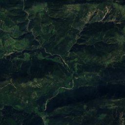
Satellite: Sentinel-2 cloudless 2016 by EOX IT Services GmbH · CC BY 4.0 · Contains modified Copernicus Sentinel data 2016
Hinterunnutz20 km S2,007 mJuly 14°Hinterunnutz
Photo: Luidger · CC BY 3.0 · Wikimedia CommonsReport this photo · linked, not stored
Juifen20 km SW1,988 mJuly 15°Juifen
Stay nearby

Towns close by

Bad Wiessee
Photo: ROW · CC BY-SA 4.0 · Wikimedia CommonsReport this photo · linked, not stored

Bad Wiessee

Bavaria · 1.1 km NW
14°Oct high
12wet days
44score
Bad Wiessee
Tegernsee
Photo: Kassandro · CC BY-SA 3.0 · Wikimedia CommonsReport this photo · linked, not stored

Tegernsee

Bavaria · 2.1 km E
14°Oct high
12wet days
43score
Tegernsee
Rottach-Egern
Photo: Schtone · CC BY-SA 3.0 · Wikimedia CommonsReport this photo · linked, not stored

Rottach-Egern

Bavaria · 3.9 km SE
14°Oct high
12wet days
45score
Rottach-Egern
Gmund am Tegernsee
Photo: Kassandro · CC BY-SA 3.0 · Wikimedia CommonsReport this photo · linked, not stored

Gmund am Tegernsee

Bavaria · 4.4 km N
14°Oct high
12wet days
44score
Gmund am Tegernsee
Around here

Bad Wiessee and around

Bad Wiessee
Photo: ROW · CC BY-SA 4.0 · Wikimedia CommonsReport this photo · linked, not stored

Bad Wiessee

Bavaria · Germany
Jul–Sepbest months
23°July high
751 maltitude
Bad Wiessee

Nature

Tegernsee
Photo: Carsten Steger · CC BY-SA 4.0 · Wikimedia CommonsReport this photo · linked, not stored
1.8 km NE

Tegernsee

Lake · 726 m
Tegernsee
Schliersee
Photo: Carsten Steger · CC BY-SA 4.0 · Wikimedia CommonsReport this photo · linked, not stored
11 km E

Schliersee

Lake · 777 m
Schliersee
Mangfall
Photo: Sir Boris · CC BY-SA 3.0 · Wikimedia CommonsReport this photo · linked, not stored
3.7 km N

Mangfall

River
Mangfall

Mountains

Birkkarspitze
Photo: Svíčková · CC BY-SA 3.0 · Wikimedia CommonsReport this photo · linked, not stored
40 km SW

Birkkarspitze

2,749 m · Karwendel
Birkkarspitze
Eiskarlspitze
Photo: Haneburger · Public domain · Wikimedia CommonsReport this photo · linked, not stored
40 km S

Eiskarlspitze

2,610 m · Hinterautal-Vomper Chain
Eiskarlspitze
Spritzkarspitze
Photo: Haneburger · Public domain · Wikimedia CommonsReport this photo · linked, not stored
39 km S

Spritzkarspitze

2,606 m · Hinterautal-Vomper Chain
Spritzkarspitze

Heritage

Christuskirche, Tegernsee
Photo: Rudolph Buch · CC0 · Wikimedia CommonsReport this photo · linked, not stored
2.9 km E

Christuskirche, Tegernsee

architectural heritage monument in Bavaria · 1894
Christuskirche, Tegernsee
Mariä Himmelfahrt, Bad Wiessee
Photo: Stefan Meister · CC BY-SA 4.0 · Wikimedia CommonsReport this photo · linked, not stored
1.5 km SE

Mariä Himmelfahrt, Bad Wiessee

architectural heritage monument in Bavaria · 1926
Mariä Himmelfahrt, Bad Wiessee
Olaf-Gulbransson-Museum Tegernsee
Photo: Rudolph Buch · Public domain · Wikimedia CommonsReport this photo · linked, not stored
2.9 km E

Olaf-Gulbransson-Museum Tegernsee

architectural heritage monument in Bavaria · 1966
Olaf-Gulbransson-Museum Tegernsee

Museums

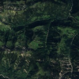
Satellite: Sentinel-2 cloudless 2016 by EOX IT Services GmbH · CC BY 4.0 · Contains modified Copernicus Sentinel data 2016
2.9 km E

Museum Tegernseer Tal

Museum Tegernseer Tal
Markus Wasmeier Freilichtmuseum Schliersee
Photo: Lou.gruber · CC0 · Wikimedia CommonsReport this photo · linked, not stored
12 km E

Markus Wasmeier Freilichtmuseum Schliersee

2007
Markus Wasmeier Freilichtmuseum Schliersee
Bad Tölz city museum
Photo: Stefan Karl · CC BY-SA 4.0 · Wikimedia CommonsReport this photo · linked, not stored
13 km NW

Bad Tölz city museum

City museum · 1886
Bad Tölz city museum