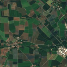
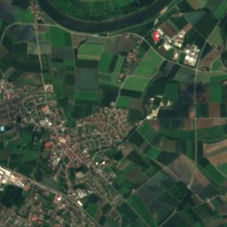
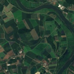
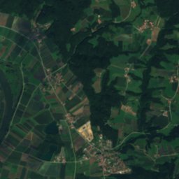
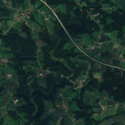
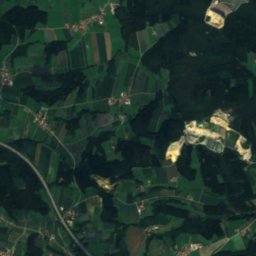
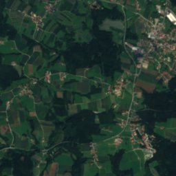
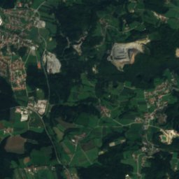
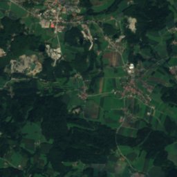
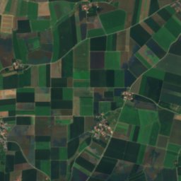
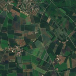
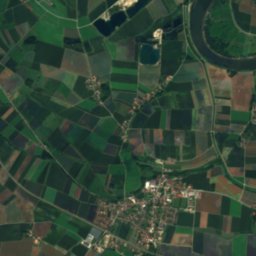
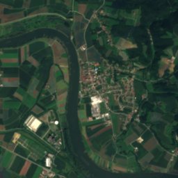
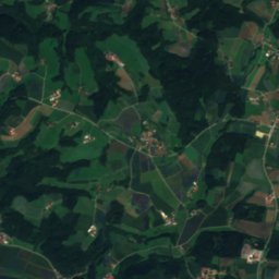
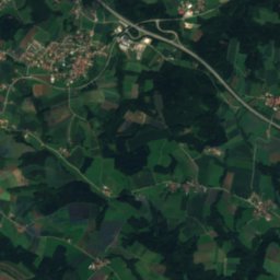
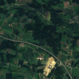
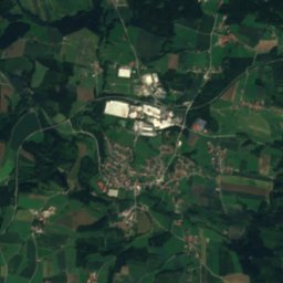
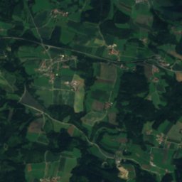
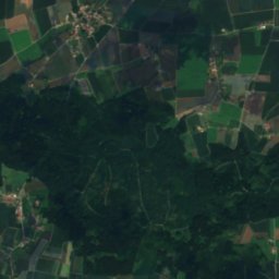
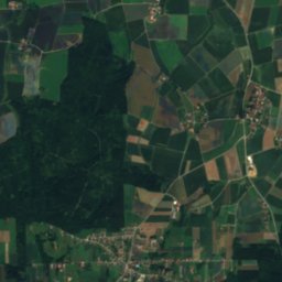
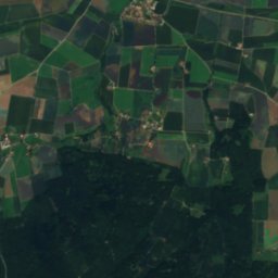
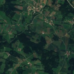
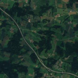
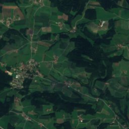
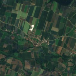
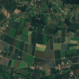
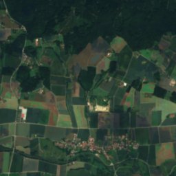
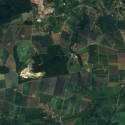
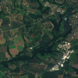
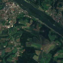
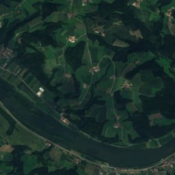
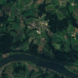
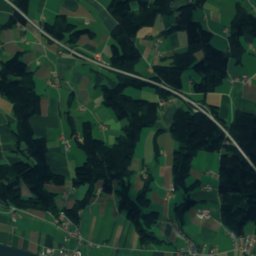
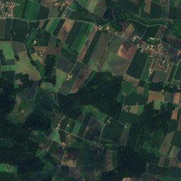
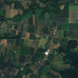
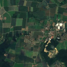
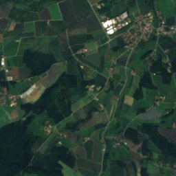
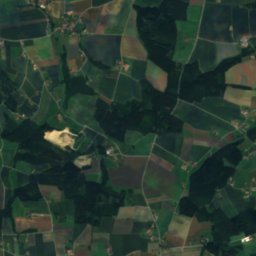
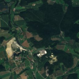
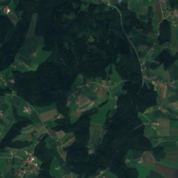
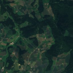
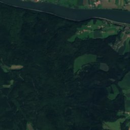
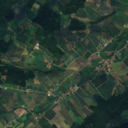
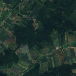
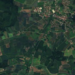
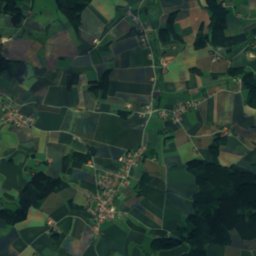
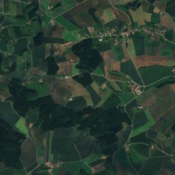
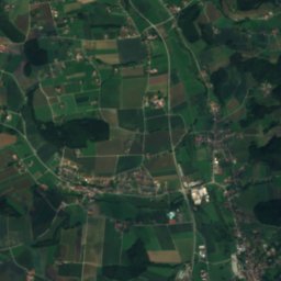
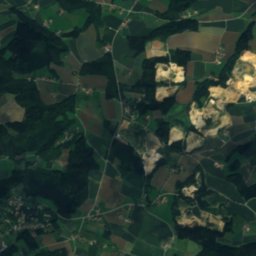
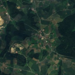
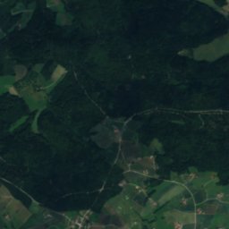
Satellite: Sentinel-2 cloudless 2016 by EOX IT Services GmbH · CC BY 4.0 · Contains modified Copernicus Sentinel data 2016

Photo: High Contrast · CC BY 2.0 de · Wikimedia Commons
Vils (Danube)Report this photo · linked, not stored
Vils (Danube)Vils (Danube)Report this photo · linked, not stored

Photo: High Contrast · CC BY 3.0 de · Wikimedia Commons
TaferlseeReport this photo · linked, not stored
TaferlseeTaferlseeReport this photo · linked, not stored

Photo: Konrad Lackerbeck · CC0 · Wikimedia Commons
Kleine Ohe (Danube)Report this photo · linked, not stored
Kleine Ohe (Danube)Kleine Ohe (Danube)Report this photo · linked, not stored

Photo: High Contrast · CC BY 3.0 de · Wikimedia Commons
Eginger SeeReport this photo · linked, not stored
Eginger SeeEginger SeeReport this photo · linked, not stored
RiverVilshofen an der Donau, Bavaria
Wolfach
RiverBest May–Jun · Sep
Elevation–above sea level
Length30 kmsource to mouth
Nearest townVilshofen an der Donau0.9 km
48.63° N, 13.20° EUTC+1 · Central European Standard Time
When to goVilshofen an der Donau · weather score
Best timeMay–Jun · Sep
October: high / low14° / 6°
River
Wolfach in brief
Wolfach is a river in Vilshofen an der Donau, Bavaria, Germany.
The nearest town is Vilshofen an der Donau, 0.9 km to the W, where the weather is best in May, June and September.
Wolfach is 30 km long.
Weather nearby now
Forecast for Vilshofen an der Donau3°
Clear now
Today
27 Oct
14°
3°
Wed
28 Oct
9°
4°
7 mm
Thu
29 Oct
12°
2°
Fri
30 Oct
13°
1°
Sat
31 Oct
12°
3°
Model run 12:00 UTCRefreshed several times a day
The course of the river
As mapped in OpenStreetMap, with the towns along its banks.- 1Vilshofen an der Donau319 m
- 2Windorf305 m
sourcemouth (or where the mapped line leaves the country)
Map
Wolfach from above
Nature nearbyAll of Germany


Summits nearbyMountains of Germany
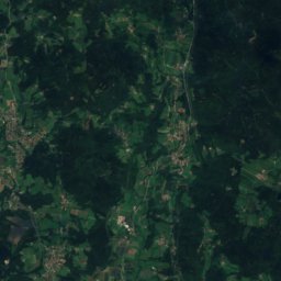
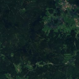
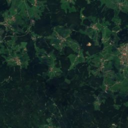
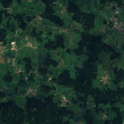
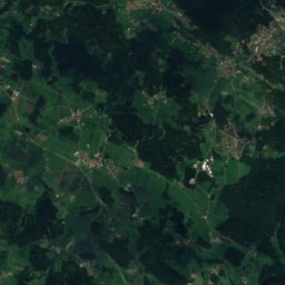
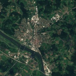
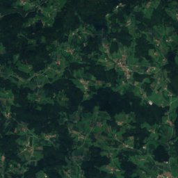
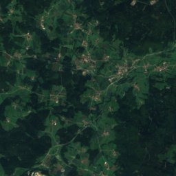
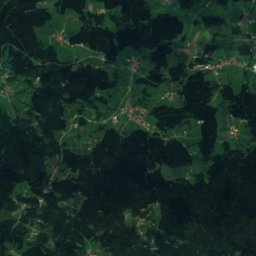
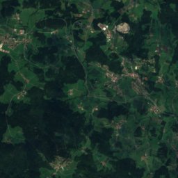
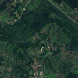
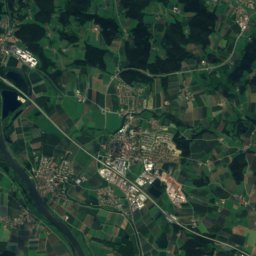
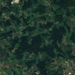
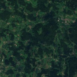
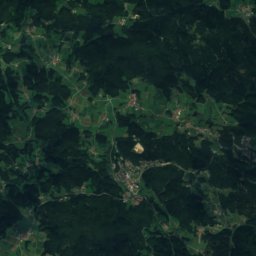
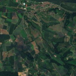
Satellite: Sentinel-2 cloudless 2016 by EOX IT Services GmbH · CC BY 4.0 · Contains modified Copernicus Sentinel data 2016

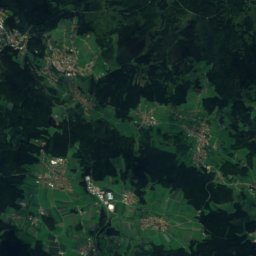
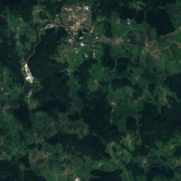
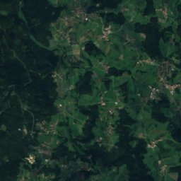
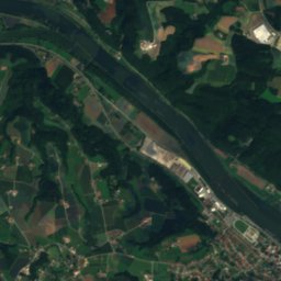
Satellite: Sentinel-2 cloudless 2016 by EOX IT Services GmbH · CC BY 4.0 · Contains modified Copernicus Sentinel data 2016

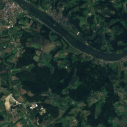
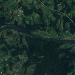

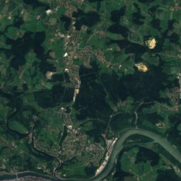
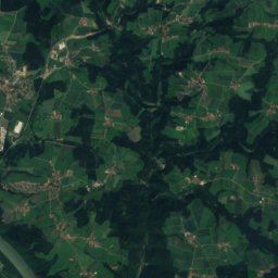
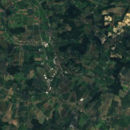
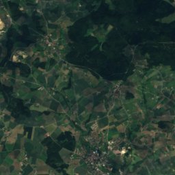
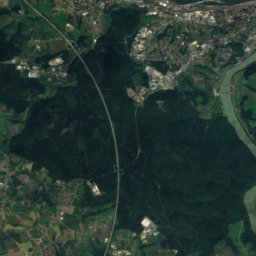
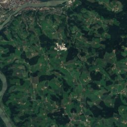
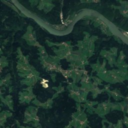
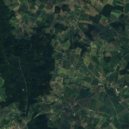
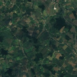
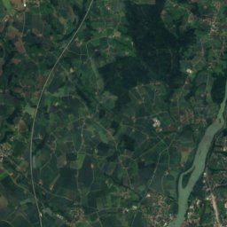
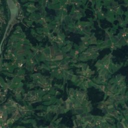
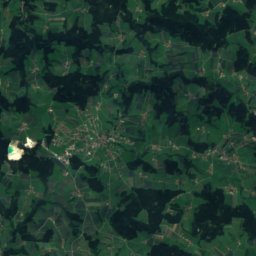
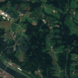
Satellite: Sentinel-2 cloudless 2016 by EOX IT Services GmbH · CC BY 4.0 · Contains modified Copernicus Sentinel data 2016

Photo: Königreich Bayern, Vermessungsamt · Public domain · Wikimedia CommonsReport this photo · linked, not stored
Stay nearby
Towns close by

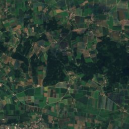
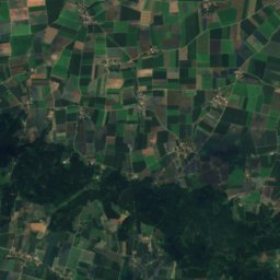
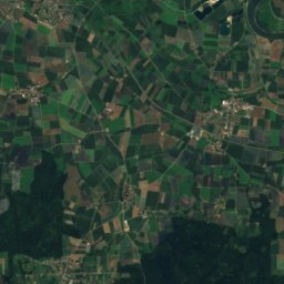
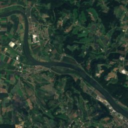
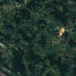
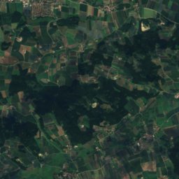
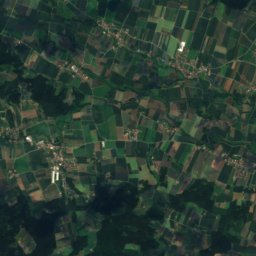
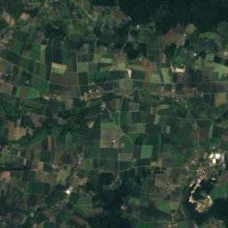
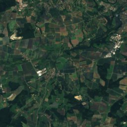
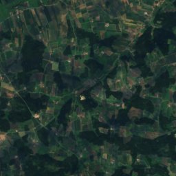
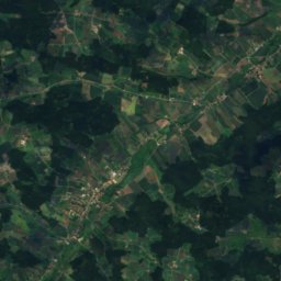
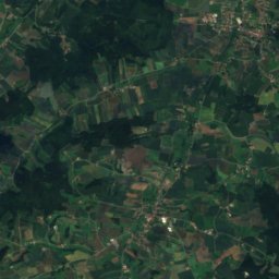
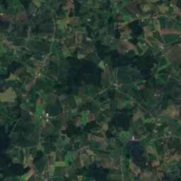
Satellite: Sentinel-2 cloudless 2016 by EOX IT Services GmbH · CC BY 4.0 · Contains modified Copernicus Sentinel data 2016
Reut
Bavaria · 7.1 km SW
14°Oct high
11wet days
50score

Around here
Vilshofen an der Donau and around

Vilshofen an der Donau
Bavaria · Germany
May–Jun · Sepbest months
26°July high
319 maltitude
Nature
Mountains
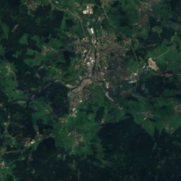
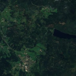
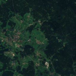
Satellite: Sentinel-2 cloudless 2016 by EOX IT Services GmbH · CC BY 4.0 · Contains modified Copernicus Sentinel data 2016
Waldhäuserriegel
1,151 m · Bavarian Forest


Heritage


Photo: Photographer: High Contrast; Perspective correction by Richard Bartz · CC BY 2.0 de · Wikimedia CommonsReport this photo · linked, not stored
St. John the Baptist church, Vilshofen an der Donau
architectural heritage monument in Bavaria · 1513

Museums


Photo: Free to use with credit to the photographer: Mosbatho · CC BY 4.0 · Wikimedia CommonsReport this photo · linked, not stored
Museum Quintana
2001



Satellite: Sentinel-2 cloudless 2016 by EOX IT Services GmbH · CC BY 4.0 · Contains modified Copernicus Sentinel data 2016