Skip to content
Destinations
Weather & climate
Nature
Outdoors
Culture
Events
Sky & live
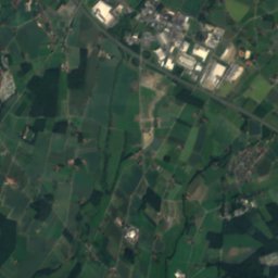
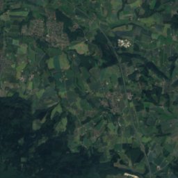
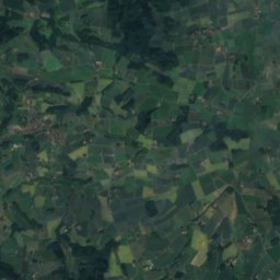
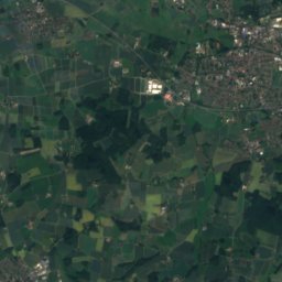
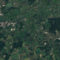
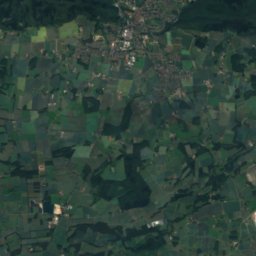
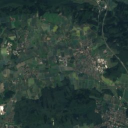
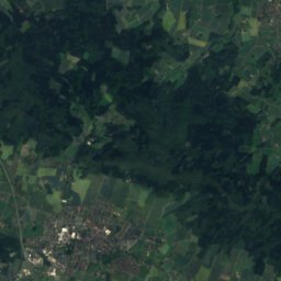
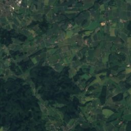
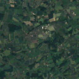
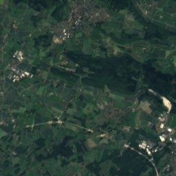
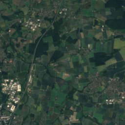
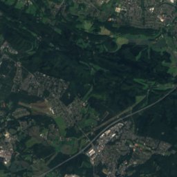
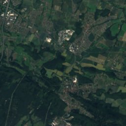
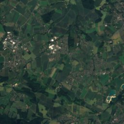
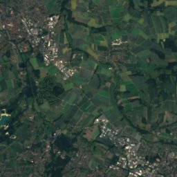
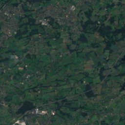
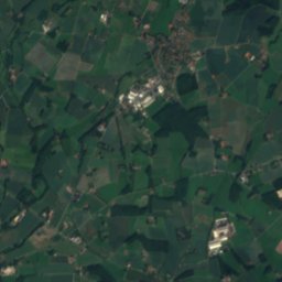
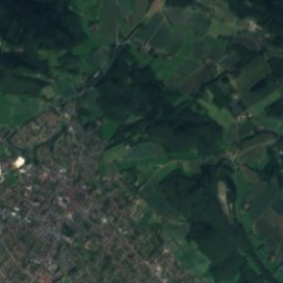
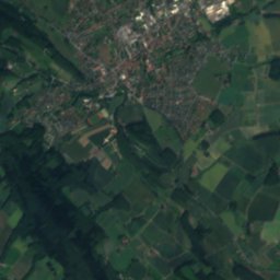
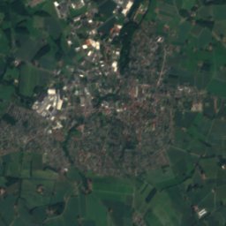
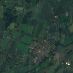
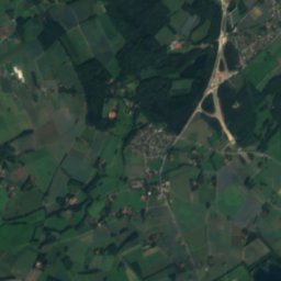
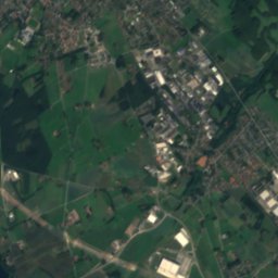
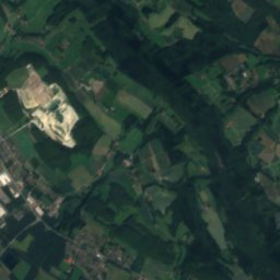
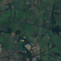
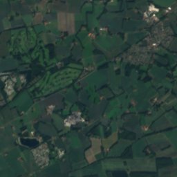
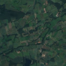
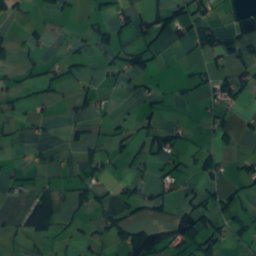
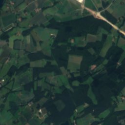
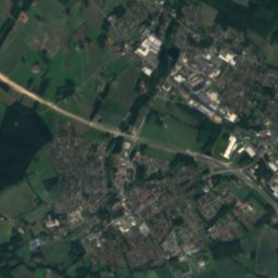
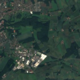
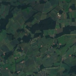
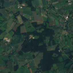
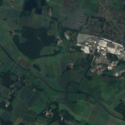
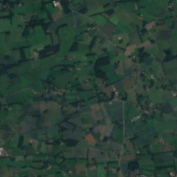
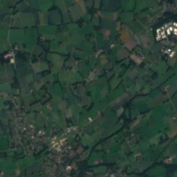
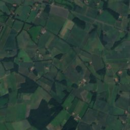
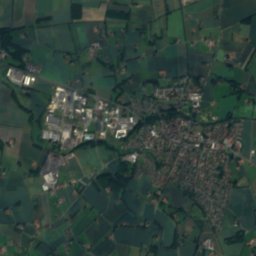
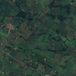
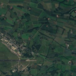
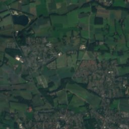
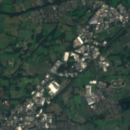
Satellite: Sentinel-2 cloudless 2016 by EOX IT Services GmbH · CC BY 4.0 · Contains modified Copernicus Sentinel data 2016
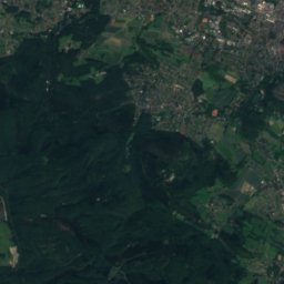
Ruthenbach
Photo: Erdkröte · CC BY-SA 3.0 · Wikimedia Commons
RuthenbachReport this photo · linked, not stored
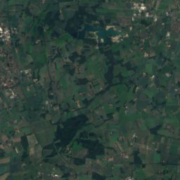
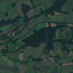
Ruthenbach
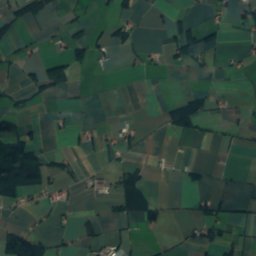
Rhedaer Bach
Photo: Hagar66 · CC BY-SA 3.0 · Wikimedia Commons
Rhedaer BachReport this photo · linked, not stored
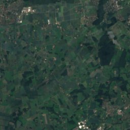
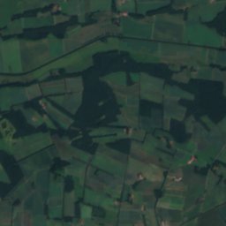
Rhedaer Bach
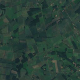
Kleinebach
Photo: Hagar66 · CC BY-SA 3.0 · Wikimedia Commons
KleinebachReport this photo · linked, not stored
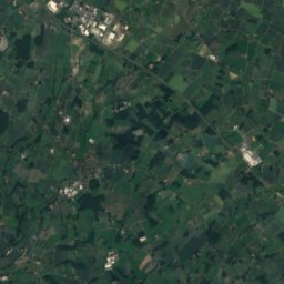
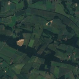
Kleinebach
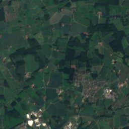
Hengeberg
Photo: Hagar66 · CC BY-SA 3.0 · Wikimedia Commons
HengebergReport this photo · linked, not stored
Hengeberg
RiverHarsewinkel, North Rhine-Westphalia

Wippe

RiverBest May–Jun · Sep
Elevation–above sea level
Length5.6 kmsource to mouth
Nearest townHarsewinkel3.6 km
51.99° N, 8.26° EUTC+1 · Central European Standard Time
When to goHarsewinkel · weather score
JanFebMarAprMayJunJulAugSepOctNovDec45October
Best timeMay–Jun · Sep
October: high / low14° / 7°
River

Wippe in brief

Wippe is a river in Harsewinkel, North Rhine-Westphalia, Germany.

The nearest town is Harsewinkel, 3.6 km to the SW, where the weather is best in May, June and September.

Wippe is 5.6 km long.

Harsewinkel: weather and travel guide

Weather nearby now

Forecast for Harsewinkel
16°
Cloudy now
Wind17 km/h
Humidity75%
Cloud cover88%
Today
27 Oct
17°
9°
1 mm
Wed
28 Oct
14°
7°
1 mm
Thu
29 Oct
14°
6°
Fri
30 Oct
13°
6°
Sat
31 Oct
12°
5°

Model run 00:00 UTCRefreshed several times a day

When to go

The best months around Wippe

Climate of Harsewinkel

Month score in Harsewinkel

Comfort, dry days and sunshine · out of 100
Map

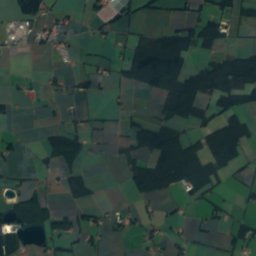
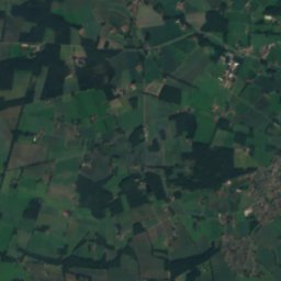
Wippe from above

Nature nearbyAll of Germany
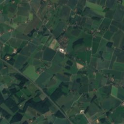
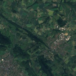
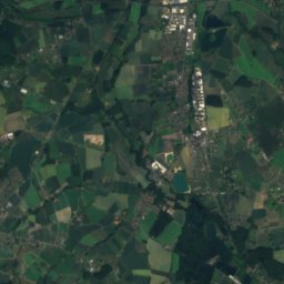
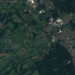
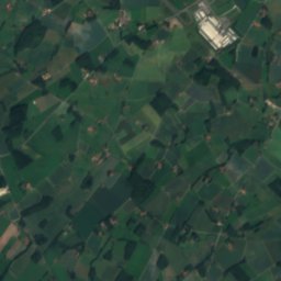
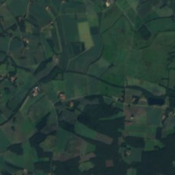
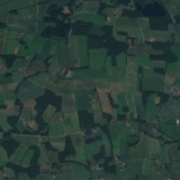
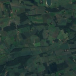
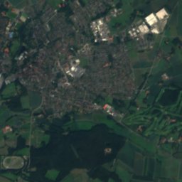
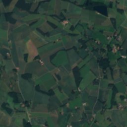
Satellite: Sentinel-2 cloudless 2016 by EOX IT Services GmbH · CC BY 4.0 · Contains modified Copernicus Sentinel data 2016
PoggenbachRiver5.5 kmSWPoggenbach
Photo: Erdkröte · CC BY-SA 3.0 · Wikimedia CommonsReport this photo · linked, not stored
RuthenbachRiver5.7 kmSRuthenbach
Photo: Hagar66 · CC BY-SA 3.0 · Wikimedia CommonsReport this photo · linked, not stored
Rhedaer BachRiver6.3 kmSWRhedaer Bach
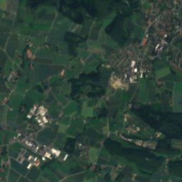
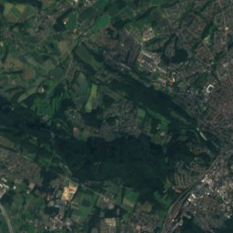
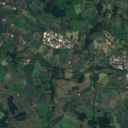
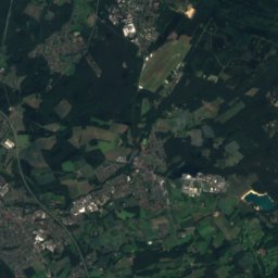
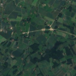
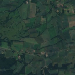
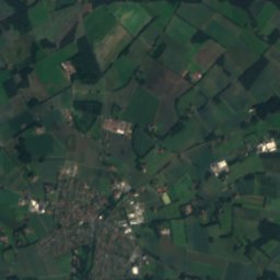
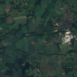
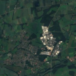
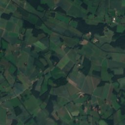
Satellite: Sentinel-2 cloudless 2016 by EOX IT Services GmbH · CC BY 4.0 · Contains modified Copernicus Sentinel data 2016
EllerbrockgrabenRiver6.5 kmNEEllerbrockgraben
Photo: Hagar66 · CC BY-SA 3.0 · Wikimedia CommonsReport this photo · linked, not stored
KleinebachRiver6.5 kmNEKleinebach
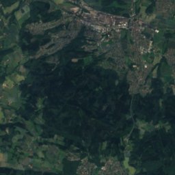
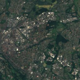
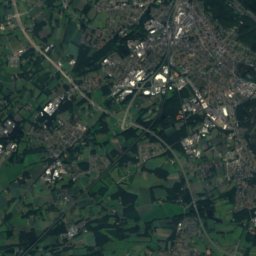
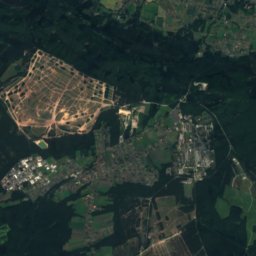
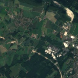
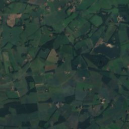
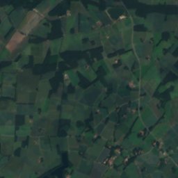
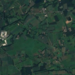
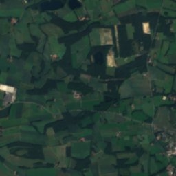
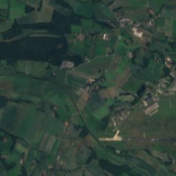
Satellite: Sentinel-2 cloudless 2016 by EOX IT Services GmbH · CC BY 4.0 · Contains modified Copernicus Sentinel data 2016
Halstenbecker BachRiver7.4 kmNWHalstenbecker Bach
Summits nearbyMountains of Germany
Photo: Hagar66 · CC BY-SA 3.0 · Wikimedia CommonsReport this photo · linked, not stored
Hengeberg13 km NE316 mJuly 23°Hengeberg
Photo: Hagar66 · CC BY-SA 3.0 · Wikimedia CommonsReport this photo · linked, not stored
Große Egge12 km NE312 mJuly 23°Große Egge
Photo: Zefram · CC BY 2.0 de · Wikimedia CommonsReport this photo · linked, not stored
Ebberg, Oerlinghausen22 km E309 mJuly 23°Ebberg, Oerlinghausen
Satellite: Sentinel-2 cloudless 2016 by EOX IT Services GmbH · CC BY 4.0 · Contains modified Copernicus Sentinel data 2016
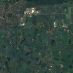
Hollands Kopf14 km N307 mJuly 23°Hollands Kopf
Photo: Sail over · CC BY-SA 3.0 · Wikimedia CommonsReport this photo · linked, not stored
Hankenüll15 km N307 mJuly 23°Hankenüll
Photo: Hagar66 · CC BY-SA 3.0 · Wikimedia CommonsReport this photo · linked, not stored
Johannisegge14 km N291 mJuly 23°Johannisegge
Stay nearby

Towns close by

Harsewinkel
Photo: Daniel Brockpähler · CC BY-SA 3.0 · Wikimedia CommonsReport this photo · linked, not stored

Harsewinkel

North Rhine-Westphalia · 3.6 km SW
14°Oct high
12wet days
45score
Harsewinkel
Steinhagen
Photo: Daniel Brockpähler · CC BY-SA 3.0 · Wikimedia CommonsReport this photo · linked, not stored

Steinhagen

North Rhine-Westphalia · 9.6 km E
14°Oct high
12wet days
44score
Steinhagen
Versmold
Photo: Unknown author · CC BY-SA 3.0 · Wikimedia CommonsReport this photo · linked, not stored

Versmold

North Rhine-Westphalia · 9.6 km NW
14°Oct high
12wet days
44score
Versmold
Halle
Photo: User:Drahreg01 · CC BY-SA 3.0 · Wikimedia CommonsReport this photo · linked, not stored

Halle

North Rhine-Westphalia · 11 km NE
14°Oct high
12wet days
42score
Halle
Around here

Harsewinkel and around

Harsewinkel
Photo: Daniel Brockpähler · CC BY-SA 3.0 · Wikimedia CommonsReport this photo · linked, not stored

Harsewinkel

North Rhine-Westphalia · Germany
May–Jun · Sepbest months
24°July high
65 maltitude
Harsewinkel

Nature

Dalke
Photo: Hewa · CC BY 3.0 · Wikimedia CommonsReport this photo · linked, not stored
8.3 km SE

Dalke

River · 64 m
Dalke
Rhedaer Bach
Photo: Hagar66 · CC BY-SA 3.0 · Wikimedia CommonsReport this photo · linked, not stored
3.1 km W

Rhedaer Bach

River
Rhedaer Bach
Aabach (Hessel)
Photo: Hagar66 · CC BY-SA 3.0 · Wikimedia CommonsReport this photo · linked, not stored
7.8 km NW

Aabach (Hessel)

River · 62 m
Aabach (Hessel)

Mountains

Satellite: Sentinel-2 cloudless 2016 by EOX IT Services GmbH · CC BY 4.0 · Contains modified Copernicus Sentinel data 2016
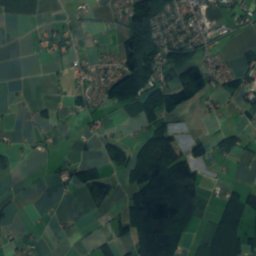
34 km E

Stapelager Berg

365 m · Teutoburg Forest
Stapelager Berg
Hermannsberg
Photo: J. Braukmann Milseburg · CC BY-SA 3.0 · Wikimedia CommonsReport this photo · linked, not stored
35 km E

Hermannsberg

364 m · Teutoburg Forest
Hermannsberg
Großer Ehberg
Photo: Benutzer:Tola69 · CC BY-SA 2.0 de · Wikimedia CommonsReport this photo · linked, not stored
38 km E

Großer Ehberg

340 m · Teutoburg Forest
Großer Ehberg

Heritage

St. Lucia, Harsewinkel
Photo: Daniel Brockpähler · CC BY-SA 3.0 · Wikimedia CommonsReport this photo · linked, not stored
0.1 km W

St. Lucia, Harsewinkel

architectural heritage monument in North Rhine-Westphalia
St. Lucia, Harsewinkel
Jewish Cemetery Harsewinkel
Photo: Daniel Brockpähler · CC BY-SA 3.0 · Wikimedia CommonsReport this photo · linked, not stored
0.3 km S

Jewish Cemetery Harsewinkel

architectural heritage monument
Jewish Cemetery Harsewinkel
Sägemühle Meier-Osthoff
Photo: Daniel Brockpähler · CC BY-SA 3.0 · Wikimedia CommonsReport this photo · linked, not stored
2.9 km NE

Sägemühle Meier-Osthoff

architectural heritage monument in North Rhine-Westphalia
Sägemühle Meier-Osthoff

Museums

Gütersloh Town Museum
Photo: Hewa · CC BY 3.0 · Wikimedia CommonsReport this photo · linked, not stored
12 km SE

Gütersloh Town Museum

Local museum · 1988
Gütersloh Town Museum
Motorradmuseum Heiner Beckmann
Photo: Unknown author · CC BY-SA 3.0 · Wikimedia CommonsReport this photo · linked, not stored
6.0 km W

Motorradmuseum Heiner Beckmann

Automobile museum · 1990
Motorradmuseum Heiner Beckmann
Heimatmuseum Versmold
Photo: Dr. Peter Schneider · CC BY 4.0 · Wikimedia CommonsReport this photo · linked, not stored
11 km NW

Heimatmuseum Versmold

Local museum · 1994
Heimatmuseum Versmold