Skip to content
Destinations
Weather & climate
Nature
Outdoors
Culture
Events
Sky & live
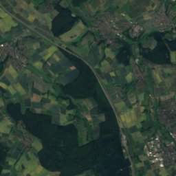
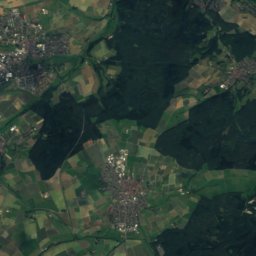
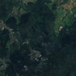
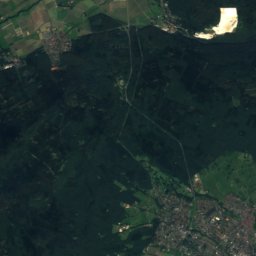
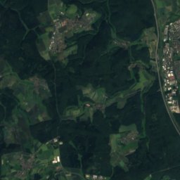
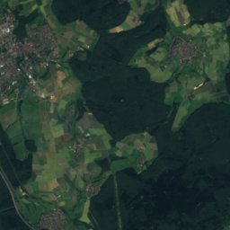
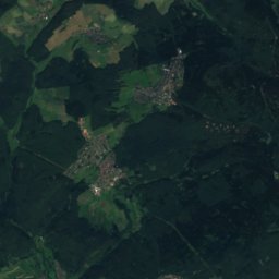
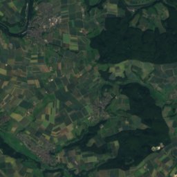
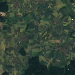
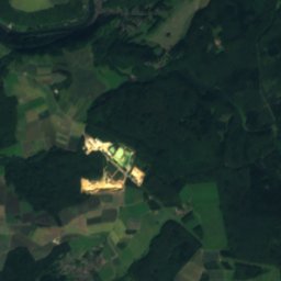
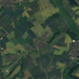
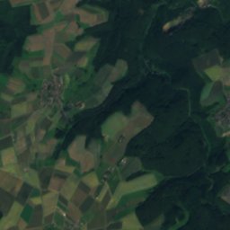
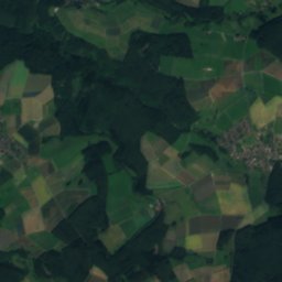
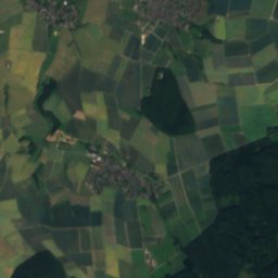
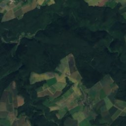
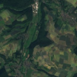
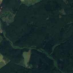
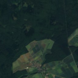
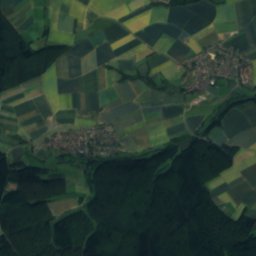
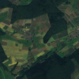
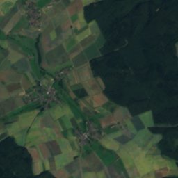
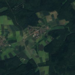
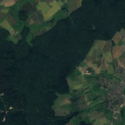
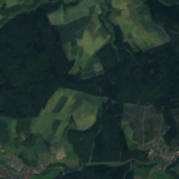
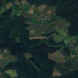
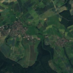
Satellite: Sentinel-2 cloudless 2016 by EOX IT Services GmbH · CC BY 4.0 · Contains modified Copernicus Sentinel data 2016
Aubach, Hesse
Photo: Karsten Ratzke · CC0 · Wikimedia Commons
Aubach, HesseReport this photo · linked, not stored
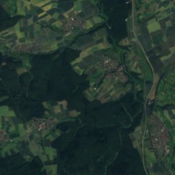
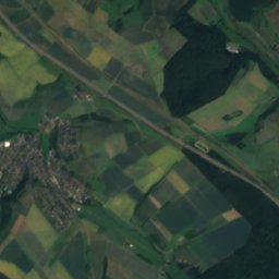
Aubach, Hesse
Palmbach
Photo: LigaDue · CC BY-SA 4.0 · Wikimedia Commons
PalmbachReport this photo · linked, not stored
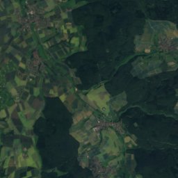
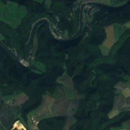
Palmbach
Dörsbach
Photo: Marion Halft · CC BY-SA 4.0 · Wikimedia Commons
DörsbachReport this photo · linked, not stored
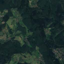
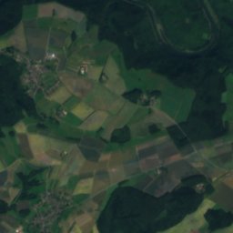
Dörsbach
Beuerbacher See
Photo: Wiki gede · CC BY-SA 4.0 · Wikimedia Commons
Beuerbacher SeeReport this photo · linked, not stored
Beuerbacher See
RiverMichelbach, Hesse

Windbach

RiverBest May · Aug–Sep
Elevation–above sea level
Length1.5 kmsource to mouth
Nearest townMichelbach3.2 km
50.26° N, 8.06° EUTC+1 · Central European Standard Time
When to goMichelbach · weather score
JanFebMarAprMayJunJulAugSepOctNovDec44October
Best timeMay · Aug–Sep
October: high / low14° / 6°
River

Windbach in brief

Windbach is a river in Michelbach, Hesse, Germany.

The nearest town is Michelbach, 3.2 km to the S, where the weather is best in May, August and September.

Windbach is 1.5 km long.

Michelbach: weather and travel guide

Weather nearby now

Forecast for Michelbach
13°
Partly cloudy now
Wind25 km/h
Humidity61%
Cloud cover20%
Today
25 Oct
13°
7°
12 mm
Mon
26 Oct
13°
6°
Tue
27 Oct
17°
9°
Wed
28 Oct
13°
6°
Thu
29 Oct
14°
4°

Model run 00:00 UTCRefreshed several times a day

When to go

The best months around Windbach

Climate of Michelbach

Month score in Michelbach

Comfort, dry days and sunshine · out of 100
16
Jan
22
Feb
26
Mar
60
Apr
66
May
66
Jun
65
Jul
67
Aug
73
Sep
44
Oct
17
Nov
15
Dec
Map

Windbach from above

Nature nearbyAll of Germany
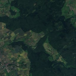
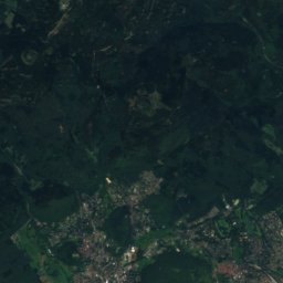
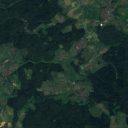
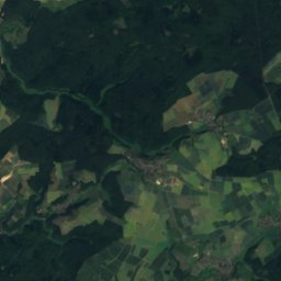
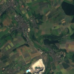
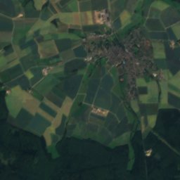
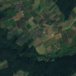
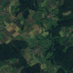
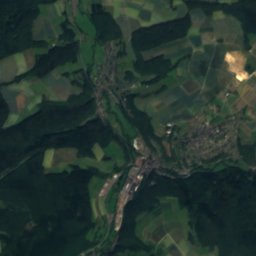
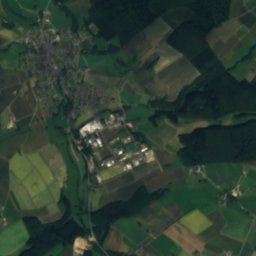
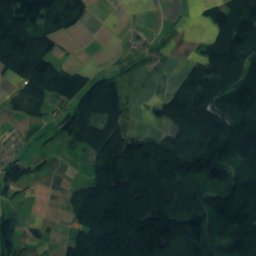
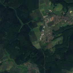
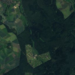
Satellite: Sentinel-2 cloudless 2016 by EOX IT Services GmbH · CC BY 4.0 · Contains modified Copernicus Sentinel data 2016
BettenbachRiver0.6 kmSBettenbach
Photo: Karsten Ratzke · CC0 · Wikimedia CommonsReport this photo · linked, not stored
Aubach, HesseRiver1.4 kmSAubach, Hesse
Photo: LigaDue · CC BY-SA 4.0 · Wikimedia CommonsReport this photo · linked, not stored
PalmbachRiver3.7 kmNPalmbach
Photo: Marion Halft · CC BY-SA 4.0 · Wikimedia CommonsReport this photo · linked, not stored
DörsbachRiver9.6 kmSWDörsbach
Photo: Wiki gede · CC BY-SA 4.0 · Wikimedia CommonsReport this photo · linked, not stored
Beuerbacher SeeLake11 kmEBeuerbacher See
Photo: Kreuzschnabel · CC BY-SA 3.0 · Wikimedia CommonsReport this photo · linked, not stored
Aar (Lahn)River13 kmSEAar (Lahn)
Summits nearbyMountains of Germany
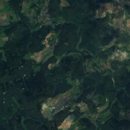
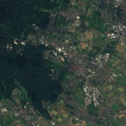
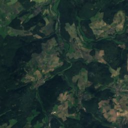
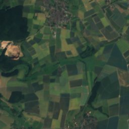
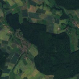
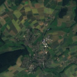
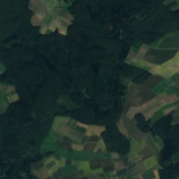
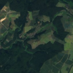
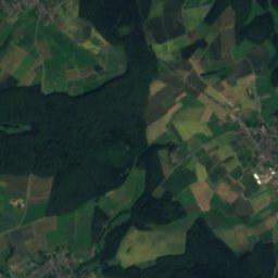
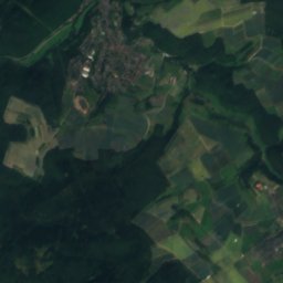
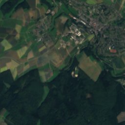
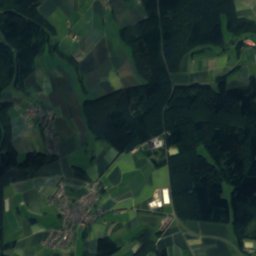
Satellite: Sentinel-2 cloudless 2016 by EOX IT Services GmbH · CC BY 4.0 · Contains modified Copernicus Sentinel data 2016
Windhain25 km E629 mJuly 22°Windhain
Photo: Milseburg · CC BY-SA 3.0 · Wikimedia CommonsReport this photo · linked, not stored
Kalte Herberge23 km S619 mJuly 22°Kalte Herberge
Photo: MdE · CC BY-SA 3.0 de · Wikimedia CommonsReport this photo · linked, not stored
Hohe Wurzel (Taunus)17 km S618 mJuly 22°Hohe Wurzel (Taunus)
Photo: Königshofen · CC BY-SA 3.0 · Wikimedia CommonsReport this photo · linked, not stored
Hohe Kanzel18 km SE592 mJuly 23°Hohe Kanzel
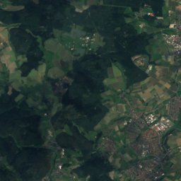
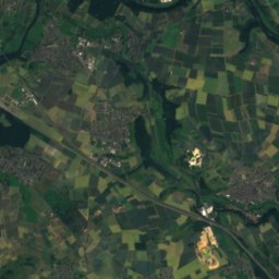
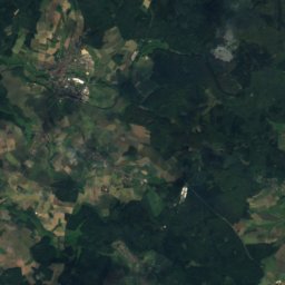
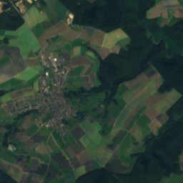
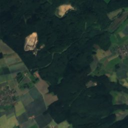
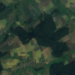
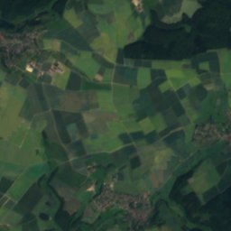
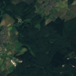
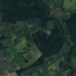
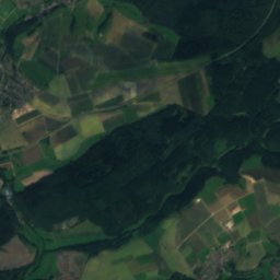
Satellite: Sentinel-2 cloudless 2016 by EOX IT Services GmbH · CC BY 4.0 · Contains modified Copernicus Sentinel data 2016
Pfaffen-Kopf23 km E587 mJuly 22°Pfaffen-Kopf
Photo: Brühl · Public domain · Wikimedia CommonsReport this photo · linked, not stored
Hallgarter Zange23 km S581 mJuly 23°Hallgarter Zange
Stay nearby

Towns close by

Michelbach
Photo: Johannes Robalotoff · CC BY-SA 2.0 de · Wikimedia CommonsReport this photo · linked, not stored

Michelbach

Hesse · 3.2 km S
14°Oct high
12wet days
44score
Michelbach
Burgschwalbach
Photo: Alexander Hoernigk · CC BY-SA 3.0 · Wikimedia CommonsReport this photo · linked, not stored

Burgschwalbach

Rheinland-Pfalz · 3.4 km NE
14°Oct high
12wet days
43score
Burgschwalbach
Mudershausen
Photo: MacElch (Rainer Kunze) at de.wikipedia · CC BY-SA 3.0 · Wikimedia CommonsReport this photo · linked, not stored

Mudershausen

Rheinland-Pfalz · 3.4 km NW
14°Oct high
12wet days
44score
Mudershausen
Berghausen
Photo: Peter Kaminsky, Berndroth · CC BY-SA 4.0 · Wikimedia CommonsReport this photo · linked, not stored

Berghausen

Rheinland-Pfalz · 3.6 km W
14°Oct high
12wet days
40score
Berghausen
Around here

Michelbach and around

Michelbach
Photo: Johannes Robalotoff · CC BY-SA 2.0 de · Wikimedia CommonsReport this photo · linked, not stored

Michelbach

Hesse · Germany
May · Aug–Sepbest months
25°July high
193 maltitude
Michelbach

Nature

Aar (Lahn)
Photo: Kreuzschnabel · CC BY-SA 3.0 · Wikimedia CommonsReport this photo · linked, not stored
12 km SE

Aar (Lahn)

River · 110 m
Aar (Lahn)
Palmbach
Photo: LigaDue · CC BY-SA 4.0 · Wikimedia CommonsReport this photo · linked, not stored
6.8 km N

Palmbach

River
Palmbach
Aubach, Hesse
Photo: Karsten Ratzke · CC0 · Wikimedia CommonsReport this photo · linked, not stored
1.9 km N

Aubach, Hesse

River
Aubach, Hesse

Mountains

Großer Feldberg
Photo: Jörg Braukmann · CC BY-SA 4.0 · Wikimedia CommonsReport this photo · linked, not stored
28 km E

Großer Feldberg

879 m · Taunus
Großer Feldberg
Kleiner Feldberg
Photo: X-angel · CC BY-SA 4.0 · Wikimedia CommonsReport this photo · linked, not stored
28 km E

Kleiner Feldberg

825 m · Taunus
Kleiner Feldberg
Altkönig
Photo: Jörg Braukmann · CC BY-SA 4.0 · Wikimedia CommonsReport this photo · linked, not stored
30 km E

Altkönig

798 m · Taunus
Altkönig

Heritage

Alte Pfarrkirche in Michelbach
Photo: Brühl · Public domain · Wikimedia CommonsReport this photo · linked, not stored
0.3 km NW

Alte Pfarrkirche in Michelbach

cultural heritage monument in Hesse
Alte Pfarrkirche in Michelbach
Protestant Church, Michelbach
Photo: Brühl · Public domain · Wikimedia CommonsReport this photo · linked, not stored
0.4 km N

Protestant Church, Michelbach

cultural heritage monument in Hesse
Protestant Church, Michelbach
Limeskastell Pohl
Photo: Carole Raddato from FRANKFURT, Germany · CC BY-SA 2.0 · Wikimedia CommonsReport this photo · linked, not stored
14 km W

Limeskastell Pohl

World Heritage Site · 2011
Limeskastell Pohl

Museums

Bad Schwalbacher Kurbahn
Photo: NearEMPTiness · CC BY-SA 4.0 · Wikimedia CommonsReport this photo · linked, not stored
11 km S

Bad Schwalbacher Kurbahn

Heritage railway
Bad Schwalbacher Kurbahn
Heimatmuseum Hünstetten
Photo: Stuhlfauth Thomas · CC BY 4.0 · Wikimedia CommonsReport this photo · linked, not stored
10 km NE

Heimatmuseum Hünstetten

Local museum
Heimatmuseum Hünstetten
Satellite: Sentinel-2 cloudless 2016 by EOX IT Services GmbH · CC BY 4.0 · Contains modified Copernicus Sentinel data 2016
7.6 km NW

Einrichmuseum Katzenelnbogen

Einrichmuseum Katzenelnbogen