Skip to content
Destinations
Weather & climate
Nature
Outdoors
Culture
Events
Sky & live
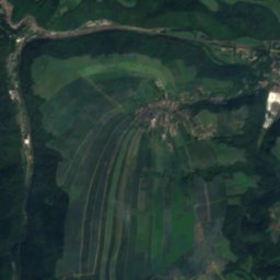
Wild Weißeritz
Photo: Norbert Kaiser · CC BY-SA 3.0 · Wikimedia Commons
Wild WeißeritzReport this photo · linked, not stored
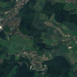
Poisenbach
Photo: SchiDD · CC BY-SA 4.0 · Wikimedia Commons
PoisenbachReport this photo · linked, not stored
Poisenbach
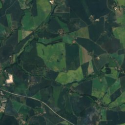
Oelsabach
Photo: Lysippos · CC BY-SA 3.0 · Wikimedia Commons
OelsabachReport this photo · linked, not stored
Oelsabach
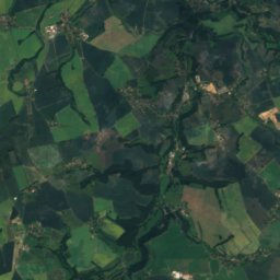
Wiederitz
Photo: Inkowik · CC BY-SA 3.0 · Wikimedia Commons
WiederitzReport this photo · linked, not stored
Wiederitz
Quänebach
Photo: Inkowik · CC BY-SA 3.0 · Wikimedia Commons
QuänebachReport this photo · linked, not stored
Quänebach
RiverSomsdorf, Saxony

Wild Weißeritz

RiverBest Jul–Sep
Elevation–above sea level
Length53 kmsource to mouth
Nearest townSomsdorf1.8 km
50.98° N, 13.63° EUTC+2 · Central European Summer Time
When to goSomsdorf · weather score
JanFebMarAprMayJunJulAugSepOctNovDec45October
Best timeJul–Sep
October: high / low14° / 6°
River

Wild Weißeritz in brief

Wild Weißeritz is a river in Somsdorf, Saxony, Germany.

The nearest town in the atlas is Somsdorf, 1.8 km to the W, where the weather is best in July, August and September.

Wild Weißeritz is 53 km long.

Somsdorf: weather and travel guide

Weather nearby now

Forecast for Somsdorf
11°
Sunny now
Wind16 km/h
Humidity61%
Cloud cover12%
Today
22 Oct
13°
7°
2 mm
Fri
23 Oct
14°
6°
1 mm
Sat
24 Oct
11°
6°
2 mm
Sun
25 Oct
13°
6°
9 mm
Mon
26 Oct
13°
6°

Model run 00:00 UTCRefreshed several times a day

The course of the river

As mapped in OpenStreetMap, with the towns of the atlas along its banks.
sourcemouth (or where the mapped line leaves the country)
When to go

The best months around Wild Weißeritz

Climate of Somsdorf

Month score in Somsdorf

Comfort, dry days and sunshine · out of 100
16
Jan
25
Feb
23
Mar
56
Apr
63
May
63
Jun
64
Jul
68
Aug
70
Sep
45
Oct
23
Nov
17
Dec
Map

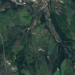
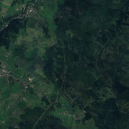
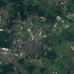
Wild Weißeritz from above

Nature nearbyAll of Germany
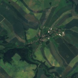
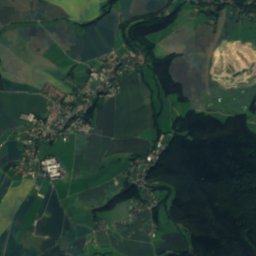
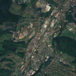
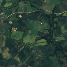
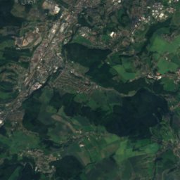
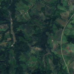
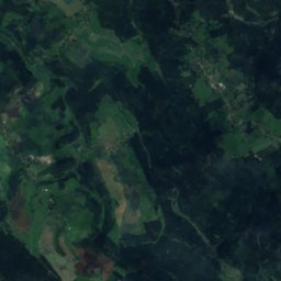
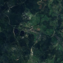
Satellite: Sentinel-2 cloudless 2016 by EOX IT Services GmbH · CC BY 4.0 · Contains modified Copernicus Sentinel data 2016
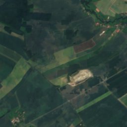
PastritzRiver2.0 kmWPastritz
Photo: SchiDD · CC BY-SA 4.0 · Wikimedia CommonsReport this photo · linked, not stored
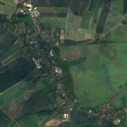
PoisenbachRiver2.4 kmNEPoisenbach
Photo: Lysippos · CC BY-SA 3.0 · Wikimedia CommonsReport this photo · linked, not stored
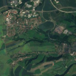
OelsabachRiver2.5 kmSOelsabach
Photo: Inkowik · CC BY-SA 3.0 · Wikimedia CommonsReport this photo · linked, not stored
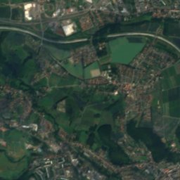
WiederitzRiver3.9 kmNEWiederitz
Photo: Inkowik · CC BY-SA 3.0 · Wikimedia CommonsReport this photo · linked, not stored
QuänebachRiver4.0 kmNQuänebach
Photo: Inkowik32 · Public domain · Wikimedia CommonsReport this photo · linked, not stored
Hammerbach, SaxonyRiver4.2 kmNHammerbach, Saxony
Summits nearbyMountains of Germany
Photo: R.D. --Rolf-Dresden · CC BY 2.5 · Wikimedia CommonsReport this photo · linked, not stored
Luchberg14 km SE576 mJuly 23°Luchberg
Photo: R.D. --Rolf-Dresden · CC BY 2.5 · Wikimedia CommonsReport this photo · linked, not stored
Wilisch11 km SE476 mJuly 23°Wilisch
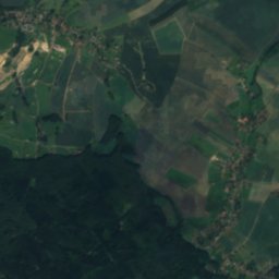
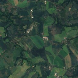
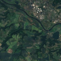
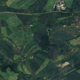
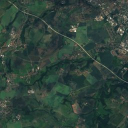
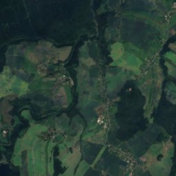
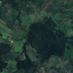
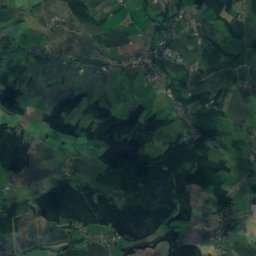
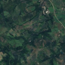
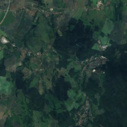
Satellite: Sentinel-2 cloudless 2016 by EOX IT Services GmbH · CC BY 4.0 · Contains modified Copernicus Sentinel data 2016
Landberg8.4 km W426 mJuly 23°Landberg
Photo: R.D. --Rolf-Dresden · CC BY 2.5 · Wikimedia CommonsReport this photo · linked, not stored
Lerchenberg, Saxony4.7 km SE425 mJuly 23°Lerchenberg, Saxony
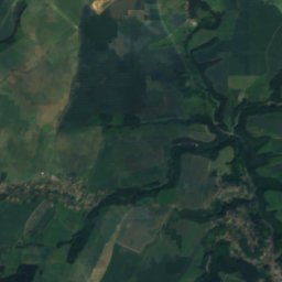
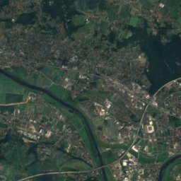
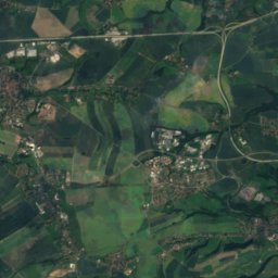
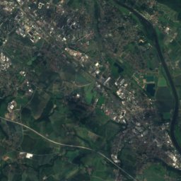
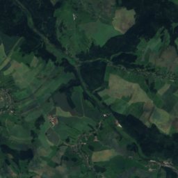
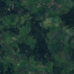
Satellite: Sentinel-2 cloudless 2016 by EOX IT Services GmbH · CC BY 4.0 · Contains modified Copernicus Sentinel data 2016
Finckenfang13 km SE394 mJuly 24°Finckenfang
Photo: SchiDD · CC BY-SA 4.0 · Wikimedia CommonsReport this photo · linked, not stored
Triebenberg21 km E384 mJuly 24°Triebenberg
Stay nearby

Towns close by

Somsdorf
Photo: DynaMoToR · CC BY-SA 3.0 · Wikimedia CommonsReport this photo · linked, not stored

Somsdorf

Saxony · 1.8 km W
14°Oct high
11wet days
45score
Somsdorf
Rabenau
Photo: R. Hempel · CC BY-SA 3.0 · Wikimedia CommonsReport this photo · linked, not stored

Rabenau

Saxony · 2.1 km SE
13°Oct high
11wet days
43score
Rabenau
Freital
Photo: User:Kolossos · CC BY-SA 3.0 · Wikimedia CommonsReport this photo · linked, not stored

Freital

Saxony · 2.6 km NE
14°Oct high
10wet days
50score
Freital
Tharandt
Photo: Paulae · CC BY 3.0 · Wikimedia CommonsReport this photo · linked, not stored

Tharandt

Saxony · 3.5 km W
14°Oct high
11wet days
46score
Tharandt
Around here

Somsdorf and around

Somsdorf
Photo: DynaMoToR · CC BY-SA 3.0 · Wikimedia CommonsReport this photo · linked, not stored

Somsdorf

Saxony · Germany
Jul–Sepbest months
24°July high
308 maltitude
Somsdorf

Nature

Weißeritz
Photo: de:Benutzer:VBurg · CC BY-SA 3.0 · Wikimedia CommonsReport this photo · linked, not stored
11 km NE

Weißeritz

River
Weißeritz
Borlasbach
Photo: Boonekamp · Public domain · Wikimedia CommonsReport this photo · linked, not stored
6.5 km SE

Borlasbach

River · 847 m
Borlasbach
Hammerbach, Saxony
Photo: Inkowik32 · Public domain · Wikimedia CommonsReport this photo · linked, not stored
5.3 km NE

Hammerbach, Saxony

River
Hammerbach, Saxony

Mountains

Loučná
Photo: Maoman · CC BY-SA 4.0 · Wikimedia CommonsReport this photo · linked, not stored
36 km S

Loučná

956 m · Ore Mountains
Loučná
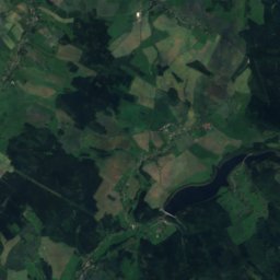
Satellite: Sentinel-2 cloudless 2016 by EOX IT Services GmbH · CC BY 4.0 · Contains modified Copernicus Sentinel data 2016
32 km S

Pramenáč

910 m · Ore Mountains
Pramenáč
Kahleberg
Photo: Norbert Kaiser · CC BY-SA 2.5 · Wikimedia CommonsReport this photo · linked, not stored
27 km S

Kahleberg

905 m · Ore Mountains
Kahleberg

Heritage

Tharandt station
Photo: Bybbisch94, Christian Gebhardt · CC BY-SA 4.0 · Wikimedia CommonsReport this photo · linked, not stored
1.3 km NW

Tharandt station

Kulturdenkmal · 1909
Tharandt station
Protestant Church of Hope, Hainsberg
Photo: Jörg Blobelt · CC BY-SA 4.0 · Wikimedia CommonsReport this photo · linked, not stored
2.0 km E

Protestant Church of Hope, Hainsberg

heritage monument in Saxony · 1901
Protestant Church of Hope, Hainsberg
Tharandt Castle
Photo: Norbert Kaiser · CC BY-SA 3.0 · Wikimedia CommonsReport this photo · linked, not stored
1.9 km W

Tharandt Castle

Kulturdenkmal · 1206
Tharandt Castle

Museums

Deutsches Stuhlbaumuseum
Photo: Derbrauni · CC BY-SA 4.0 · Wikimedia CommonsReport this photo · linked, not stored
2.9 km SE

Deutsches Stuhlbaumuseum

Deutsches Stuhlbaumuseum
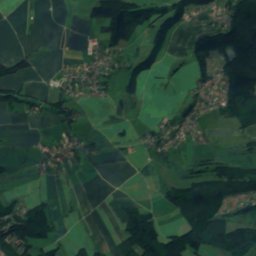
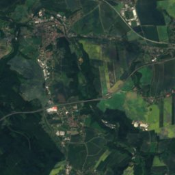
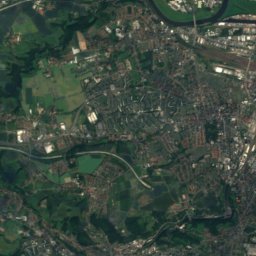
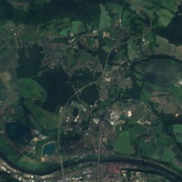
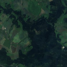
Satellite: Sentinel-2 cloudless 2016 by EOX IT Services GmbH · CC BY 4.0 · Contains modified Copernicus Sentinel data 2016
2.2 km NW

Forstbotanische Ausstellung im Schweizerhaus Tharandt

Forstbotanische Ausstellung im Schweizerhaus Tharandt
Gemäldegalerie Alte Meister
Photo: Ingersoll · Public domain · Wikimedia CommonsReport this photo · linked, not stored
12 km NE

Gemäldegalerie Alte Meister

Art museum · 1560
Gemäldegalerie Alte Meister