Skip to content
Destinations
Weather & climate
Nature
Outdoors
Culture
Events
Sky & live
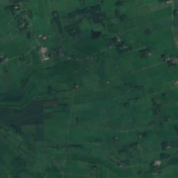
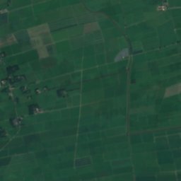
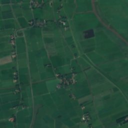
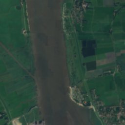
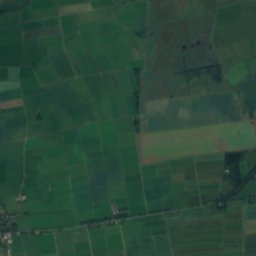
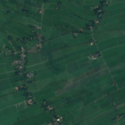
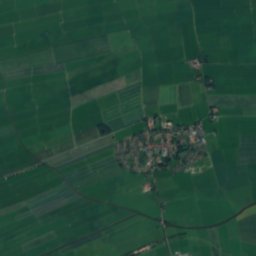
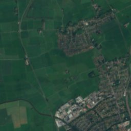
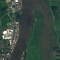
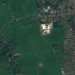
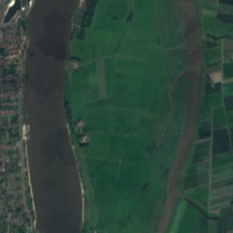
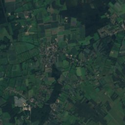
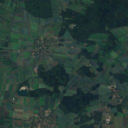
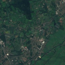
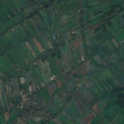
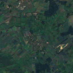
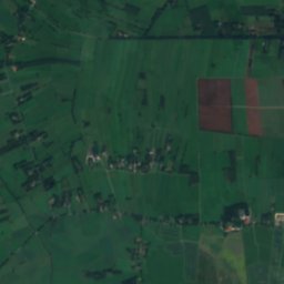
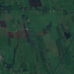
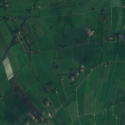
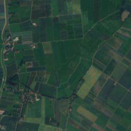
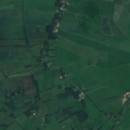
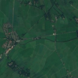
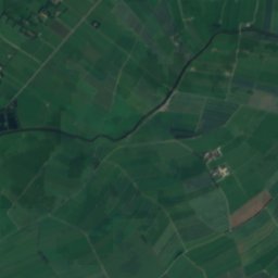
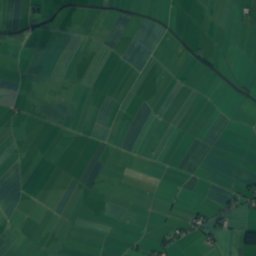
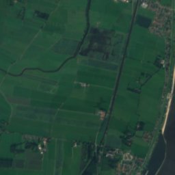
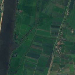
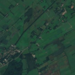
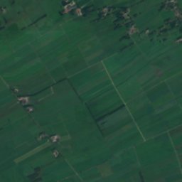
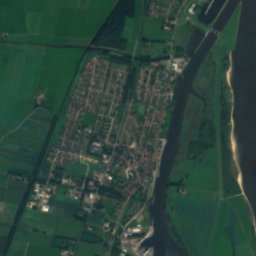
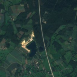
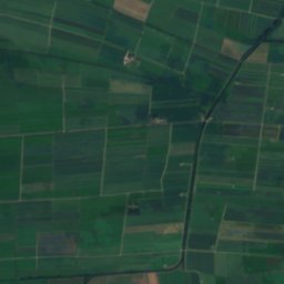
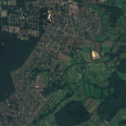
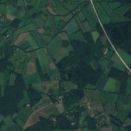
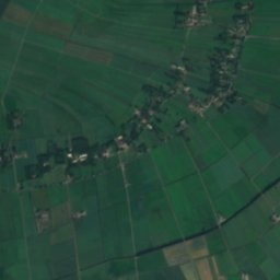
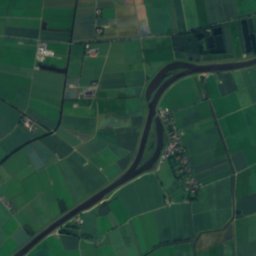
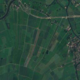
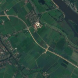
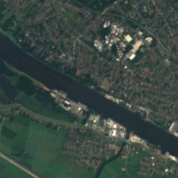
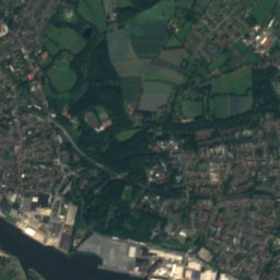
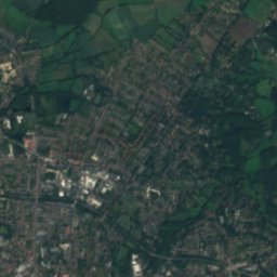
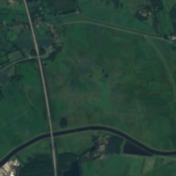
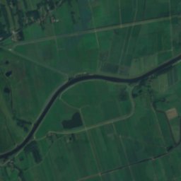
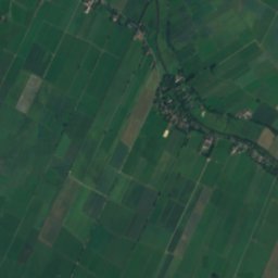
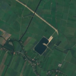
Satellite: Sentinel-2 cloudless 2016 by EOX IT Services GmbH · CC BY 4.0 · Contains modified Copernicus Sentinel data 2016
Elsflether Sand
Photo: Billboa · CC BY 3.0 · Wikimedia Commons
Elsflether SandReport this photo · linked, not stored
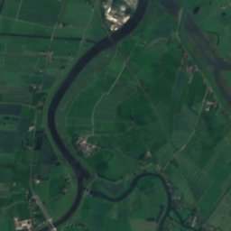
Elsflether Sand
Ollen
Photo: Billboa · CC BY 3.0 · Wikimedia Commons
OllenReport this photo · linked, not stored
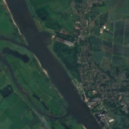
Ollen
Berne
Photo: Billboa · CC BY 3.0 · Wikimedia Commons
BerneReport this photo · linked, not stored
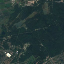
Berne
Hinnebecker Fleth
Photo: Smarties · CC BY-SA 4.0 · Wikimedia Commons
Hinnebecker FlethReport this photo · linked, not stored
Hinnebecker Fleth
RiverElsfleth, Lower Saxony

Westergate

RiverBest May–Jun · Sep
Elevation–above sea level
Area–surface
Nearest townElsfleth2.2 km
53.22° N, 8.48° EUTC+2 · Central European Summer Time
When to goElsfleth · weather score
JanFebMarAprMayJunJulAugSepOctNovDec39October
Best timeMay–Jun · Sep
October: high / low14° / 7°
River

Westergate in brief

Westergate is a river in Elsfleth, Lower Saxony, Germany.

The nearest town is Elsfleth, 2.2 km to the NW, where the weather is best in May, June and September.

Elsfleth: weather and travel guide

Weather nearby now

Forecast for Elsfleth
9°
Cloudy now
Wind23 km/h
Humidity72%
Cloud cover100%
Today
24 Oct
13°
8°
3 mm
Sun
25 Oct
13°
7°
12 mm
Mon
26 Oct
13°
6°
2 mm
Tue
27 Oct
17°
9°
3 mm
Wed
28 Oct
14°
8°
2 mm

Model run 00:00 UTCRefreshed several times a day

When to go

The best months around Westergate

Climate of Elsfleth

Month score in Elsfleth

Comfort, dry days and sunshine · out of 100
14
Jan
21
Feb
24
Mar
52
Apr
69
May
64
Jun
64
Jul
64
Aug
66
Sep
39
Oct
15
Nov
14
Dec
Map

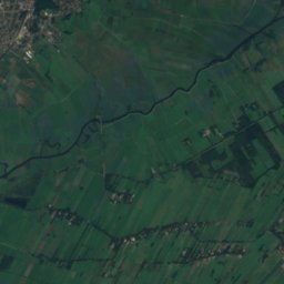
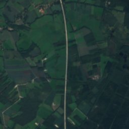
Westergate from above

Nature nearbyAll of Germany
Photo: Billboa · CC BY 3.0 · Wikimedia CommonsReport this photo · linked, not stored
Elsflether SandIsland1.1 kmNElsflether Sand
Photo: Billboa · CC BY 3.0 · Wikimedia CommonsReport this photo · linked, not stored
OllenRiver2.4 kmSWOllen
Photo: Billboa · CC BY 3.0 · Wikimedia CommonsReport this photo · linked, not stored
BerneRiver4.6 kmSBerne
Photo: Smarties · CC BY-SA 4.0 · Wikimedia CommonsReport this photo · linked, not stored
Hinnebecker FlethRiver6.2 kmNEHinnebecker Fleth
Photo: C. Löser · CC BY 3.0 de · Wikimedia CommonsReport this photo · linked, not stored
Beckedorfer BeekeRiver8.1 kmSEBeckedorfer Beeke
Photo: C. Löser · CC BY 3.0 de · Wikimedia CommonsReport this photo · linked, not stored
Blumenthaler AueRiver8.6 kmSEBlumenthaler Aue
Stay nearby

Towns close by

Elsfleth
Photo: Bin im Garten · CC BY-SA 3.0 · Wikimedia CommonsReport this photo · linked, not stored

Elsfleth

Lower Saxony · 2.2 km NW
14°Oct high
14wet days
39score
Elsfleth
Rekum
Photo: Olliku · CC BY-SA 3.0 · Wikimedia CommonsReport this photo · linked, not stored

Rekum

Bremen · 2.2 km E
14°Oct high
14wet days
39score
Rekum
Neuenkirchen
Photo: ClausNe · CC BY-SA 4.0 · Wikimedia CommonsReport this photo · linked, not stored

Neuenkirchen

Lower Saxony · 3.4 km E
14°Oct high
14wet days
39score
Neuenkirchen
Berne
Photo: Eduard47 · CC BY-SA 4.0 · Wikimedia CommonsReport this photo · linked, not stored

Berne

Lower Saxony · 4.5 km S
14°Oct high
14wet days
40score
Berne
Around here

Elsfleth and around

Elsfleth
Photo: Bin im Garten · CC BY-SA 3.0 · Wikimedia CommonsReport this photo · linked, not stored

Elsfleth

Lower Saxony · Germany
May–Jun · Sepbest months
23°July high
3 maltitude
Elsfleth

Nature

Ollen
Photo: Billboa · CC BY 3.0 · Wikimedia CommonsReport this photo · linked, not stored
3.7 km S

Ollen

River
Ollen
Berne
Photo: Billboa · CC BY 3.0 · Wikimedia CommonsReport this photo · linked, not stored
6.7 km S

Berne

River · 2 m
Berne
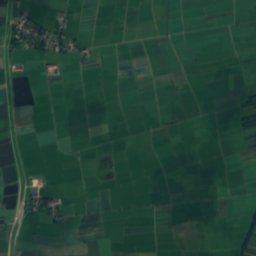
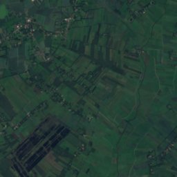
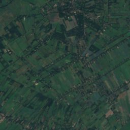
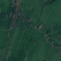
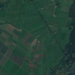
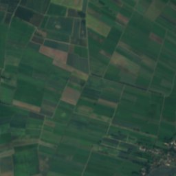
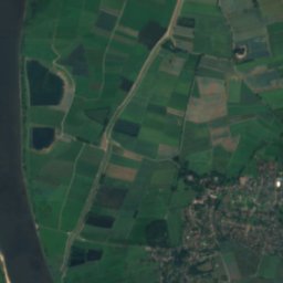
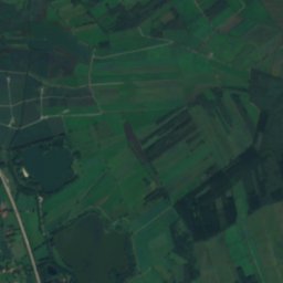
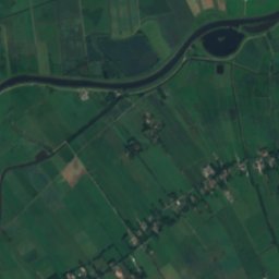
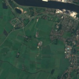
Satellite: Sentinel-2 cloudless 2016 by EOX IT Services GmbH · CC BY 4.0 · Contains modified Copernicus Sentinel data 2016
11 km N

Braker Sieltief

River · 1 m
Braker Sieltief

Mountains

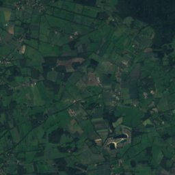
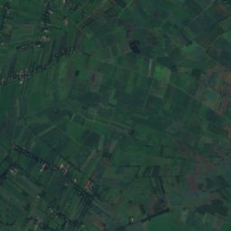
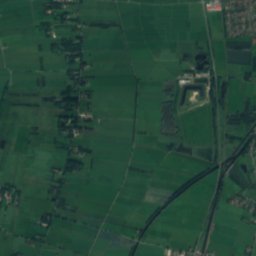
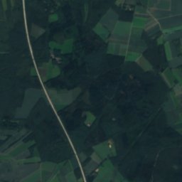
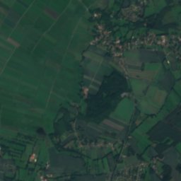
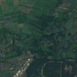
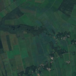
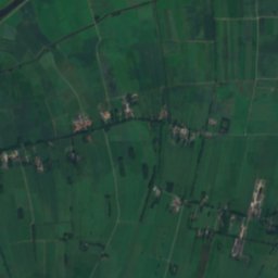
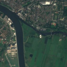
Satellite: Sentinel-2 cloudless 2016 by EOX IT Services GmbH · CC BY 4.0 · Contains modified Copernicus Sentinel data 2016
31 km E

Weyerberg

54 m
Weyerberg

Heritage

Leuchtfeuer Liener Hörn
Photo: Helmut Seger · CC BY-SA 4.0 · Wikimedia CommonsReport this photo · linked, not stored
2.0 km NE

Leuchtfeuer Liener Hörn

cultural heritage monument in Lower Saxony · 1931
Leuchtfeuer Liener Hörn
St.-Nicolai-Kirche, Elsfleth
Photo: Ulamm (talk) · CC BY-SA 4.0 · Wikimedia CommonsReport this photo · linked, not stored
0.3 km SE

St.-Nicolai-Kirche, Elsfleth

cultural heritage monument in Lower Saxony
St.-Nicolai-Kirche, Elsfleth
Denkmal für Herzog Friedrich Wilhelm
Photo: Helmut Seger · CC BY-SA 4.0 · Wikimedia CommonsReport this photo · linked, not stored
0.5 km E

Denkmal für Herzog Friedrich Wilhelm

cultural heritage monument in Lower Saxony
Denkmal für Herzog Friedrich Wilhelm

Museums

Barrack Wilhelmine
Photo: Jocian · CC BY-SA 3.0 · Wikimedia CommonsReport this photo · linked, not stored
5.9 km E

Barrack Wilhelmine

2007
Barrack Wilhelmine
Crafts Museum Ovelgönne
Photo: HWMOvelgoenne · CC BY-SA 4.0 · Wikimedia CommonsReport this photo · linked, not stored
12 km N

Crafts Museum Ovelgönne

Folk museum · 1978
Crafts Museum Ovelgönne
Overbeck-Museum
Photo: XenonX3 (talk) · CC0 · Wikimedia CommonsReport this photo · linked, not stored
13 km SE

Overbeck-Museum

1990
Overbeck-Museum