Skip to content
Destinations
Weather & climate
Nature
Outdoors
Culture
Events
Sky & live
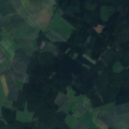
Warnau
Photo: WWasser · CC BY-SA 4.0 · Wikimedia Commons
WarnauReport this photo · linked, not stored
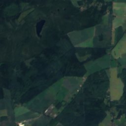
Fulde
Photo: Olifant · Public domain · Wikimedia Commons
FuldeReport this photo · linked, not stored
Fulde
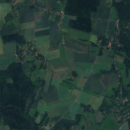
Grundloser See
Photo: Maren79 · CC BY-SA 4.0 · Wikimedia Commons
Grundloser SeeReport this photo · linked, not stored
Grundloser See
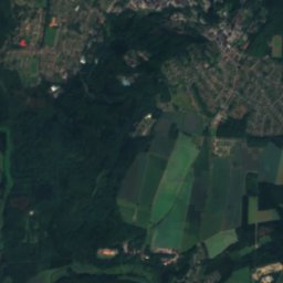
Düshorner See
Photo: Vogelfreund · CC BY-SA 3.0 · Wikimedia Commons
Düshorner SeeReport this photo · linked, not stored
Düshorner See
Lehrde
Photo: User:Matthias Süßen · CC BY 3.0 · Wikimedia Commons
LehrdeReport this photo · linked, not stored
Lehrde
RiverWalsrode, Lower Saxony

Warnau

RiverBest May–Jun · Sep
Elevation–above sea level
Length18 kmsource to mouth
Nearest townWalsrode2.2 km
52.88° N, 9.61° EUTC+1 · Central European Standard Time
When to goWalsrode · weather score
JanFebMarAprMayJunJulAugSepOctNovDec42October
Best timeMay–Jun · Sep
October: high / low14° / 6°
River

Warnau in brief

Warnau is a river in Walsrode, Lower Saxony, Germany.

The nearest town is Walsrode, 2.2 km to the SW, where the weather is best in May, June and September.

Warnau is 18 km long.

Walsrode: weather and travel guide

Weather nearby now

Forecast for Walsrode
9°
Partly cloudy now
Wind26 km/h
Humidity65%
Cloud cover31%
Today
25 Oct
14°
8°
3 mm
Mon
26 Oct
13°
6°
Tue
27 Oct
16°
8°
2 mm
Wed
28 Oct
14°
7°
Thu
29 Oct
13°
7°
1 mm

Model run 12:00 UTCRefreshed several times a day

When to go

The best months around Warnau

Climate of Walsrode

Month score in Walsrode

Comfort, dry days and sunshine · out of 100
14
Jan
20
Feb
23
Mar
55
Apr
69
May
65
Jun
64
Jul
64
Aug
67
Sep
42
Oct
16
Nov
13
Dec
Map

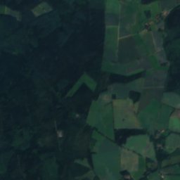
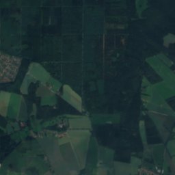
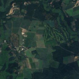
Warnau from above

Nature nearbyAll of Germany
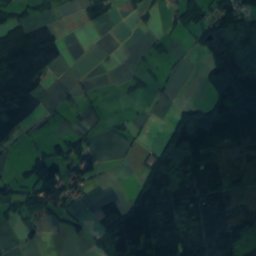
Satellite: Sentinel-2 cloudless 2016 by EOX IT Services GmbH · CC BY 4.0 · Contains modified Copernicus Sentinel data 2016
BomlitzRiver1.8 kmEBomlitz
Photo: Olifant · Public domain · Wikimedia CommonsReport this photo · linked, not stored
FuldeRiver2.6 kmSFulde
Photo: Maren79 · CC BY-SA 4.0 · Wikimedia CommonsReport this photo · linked, not stored
Grundloser SeeLake4.9 kmNWGrundloser See
Photo: Vogelfreund · CC BY-SA 3.0 · Wikimedia CommonsReport this photo · linked, not stored
Düshorner SeeLake7.3 kmSDüshorner See
Photo: User:Matthias Süßen · CC BY 3.0 · Wikimedia CommonsReport this photo · linked, not stored
LehrdeRiver11 kmNLehrde
Photo: smarties · CC BY-SA 4.0 · Wikimedia CommonsReport this photo · linked, not stored
JordanbachRiver11 kmSWJordanbach
Summits nearbyMountains of Germany
Photo: Hajotthu · CC BY-SA 3.0 · Wikimedia CommonsReport this photo · linked, not stored
Falkenberg (Lüneburg Heath)17 km E150 mJuly 24°Falkenberg (Lüneburg Heath)
Photo: Suppengrün · CC0 · Wikimedia CommonsReport this photo · linked, not stored
Höllen-Berg, Lower Saxony14 km N93 mJuly 24°Höllen-Berg, Lower Saxony
Stay nearby

Towns close by

Walsrode
Photo: Ulamm (talk) · CC BY-SA 4.0 · Wikimedia CommonsReport this photo · linked, not stored

Walsrode

Lower Saxony · 2.2 km SW
14°Oct high
12wet days
42score
Walsrode
Bomlitz
Photo: Olaf Oliviero Riemer · CC BY-SA 3.0 · Wikimedia CommonsReport this photo · linked, not stored

Bomlitz

Lower Saxony · 4.4 km NE
14°Oct high
12wet days
41score
Bomlitz
Bad Fallingbostel
Photo: WWasser · CC BY-SA 4.0 · Wikimedia CommonsReport this photo · linked, not stored

Bad Fallingbostel

Lower Saxony · 5.9 km E
14°Oct high
12wet days
41score
Bad Fallingbostel
Bockhorn
Photo: Poul Krogsgård · CC0 · Wikimedia CommonsReport this photo · linked, not stored

Bockhorn

Lower Saxony · 7.1 km SE
14°Oct high
12wet days
41score
Bockhorn
Around here

Walsrode and around

Walsrode
Photo: Ulamm (talk) · CC BY-SA 4.0 · Wikimedia CommonsReport this photo · linked, not stored

Walsrode

Lower Saxony · Germany
May–Jun · Sepbest months
24°July high
37 maltitude
Walsrode

Nature

Fulde
Photo: Olifant · Public domain · Wikimedia CommonsReport this photo · linked, not stored
0.6 km SE

Fulde

River · 29 m
Fulde
Meiße
Photo: Hajotthu · CC BY-SA 3.0 · Wikimedia CommonsReport this photo · linked, not stored
11 km S

Meiße

River
Meiße
Jordanbach
Photo: smarties · CC BY-SA 4.0 · Wikimedia CommonsReport this photo · linked, not stored
9.2 km SW

Jordanbach

River
Jordanbach

Mountains

Falkenberg (Lüneburg Heath)
Photo: Hajotthu · CC BY-SA 3.0 · Wikimedia CommonsReport this photo · linked, not stored
18 km E

Falkenberg (Lüneburg Heath)

150 m
Falkenberg (Lüneburg Heath)
Haußelberg
Photo: Hajotthu · CC BY-SA 3.0 · Wikimedia CommonsReport this photo · linked, not stored
40 km E

Haußelberg

117 m
Haußelberg
Wietzer Berg
Photo: Bermicourt · CC BY-SA 3.0 · Wikimedia CommonsReport this photo · linked, not stored
33 km E

Wietzer Berg

102 m
Wietzer Berg

Heritage

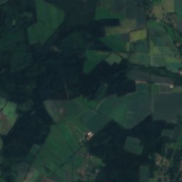
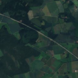
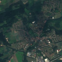
Satellite: Sentinel-2 cloudless 2016 by EOX IT Services GmbH · CC BY 4.0 · Contains modified Copernicus Sentinel data 2016
0.3 km E

Walsrode Abbey

architectural heritage monument in Lower Saxony · 986
Walsrode Abbey
Stadtkirche, Walsrode
Photo: Olaf Oliviero Riemer · CC BY-SA 3.0 · Wikimedia CommonsReport this photo · linked, not stored
0.3 km E

Stadtkirche, Walsrode

architectural heritage monument
Stadtkirche, Walsrode
Gymnasium Walsrode
Photo: Vogelfreund · CC BY-SA 3.0 · Wikimedia CommonsReport this photo · linked, not stored
0.5 km N

Gymnasium Walsrode

architectural heritage monument in Lower Saxony · 1925
Gymnasium Walsrode

Museums

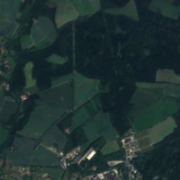
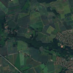
Satellite: Sentinel-2 cloudless 2016 by EOX IT Services GmbH · CC BY 4.0 · Contains modified Copernicus Sentinel data 2016
0.6 km W

Rischmannshof Heath Museum

Open-air museum · 1912
Rischmannshof Heath Museum
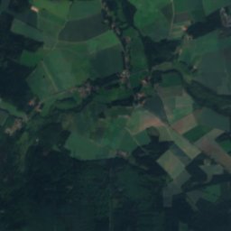
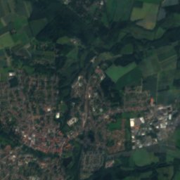
Satellite: Sentinel-2 cloudless 2016 by EOX IT Services GmbH · CC BY 4.0 · Contains modified Copernicus Sentinel data 2016
0.3 km W

Außenstelle Schafstall

Außenstelle Schafstall
Archäologisch-geologisches Museum
Photo: Losch · CC BY-SA 4.0 · Wikimedia CommonsReport this photo · linked, not stored
6.9 km E

Archäologisch-geologisches Museum

Archaeological museum · 2002
Archäologisch-geologisches Museum