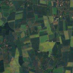
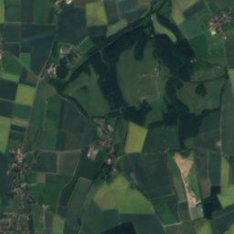
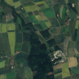
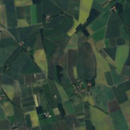
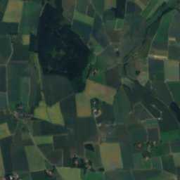
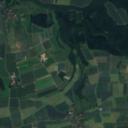
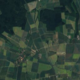
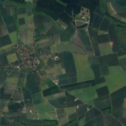
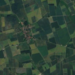
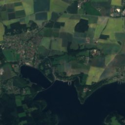
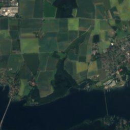
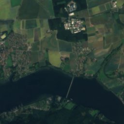
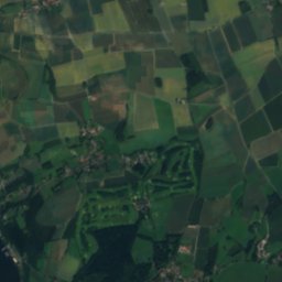
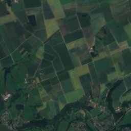
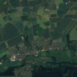
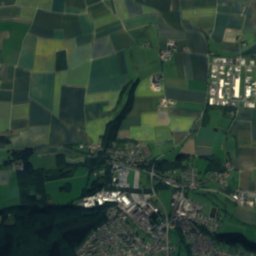
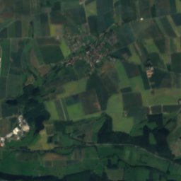
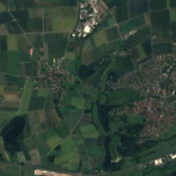
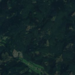
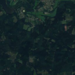
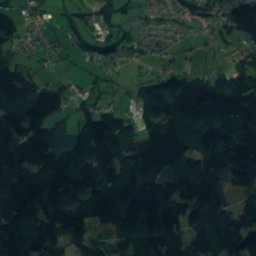
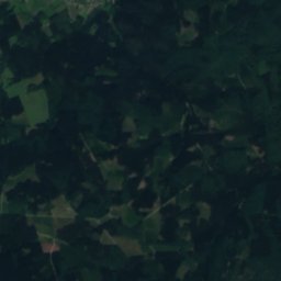
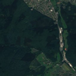
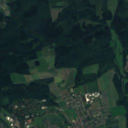
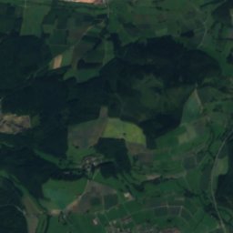
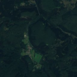
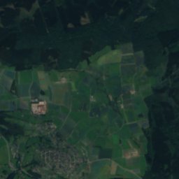
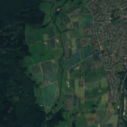
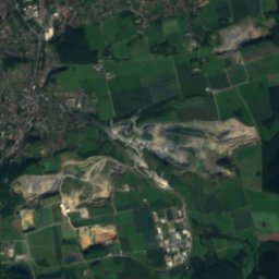
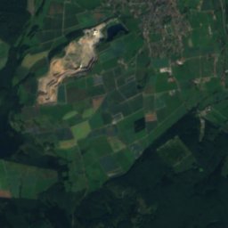
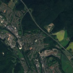
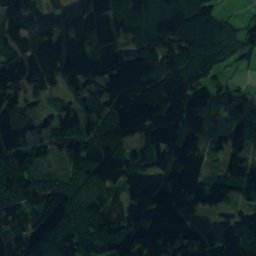
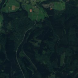
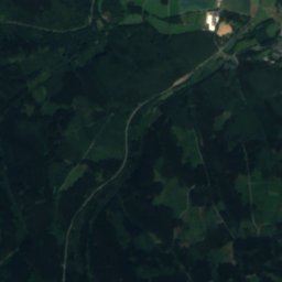
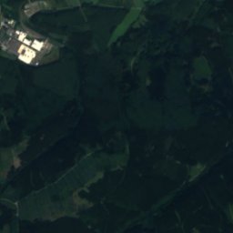
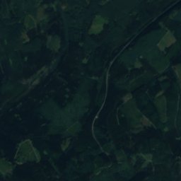
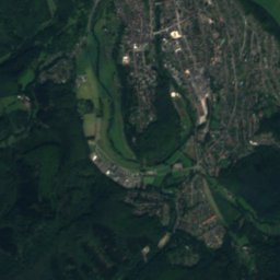
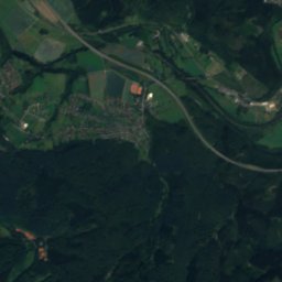
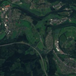
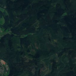
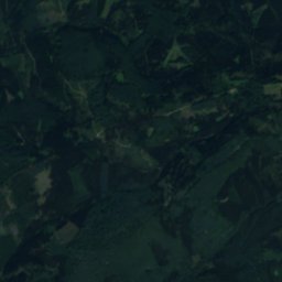
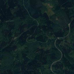
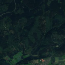
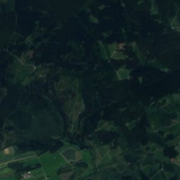
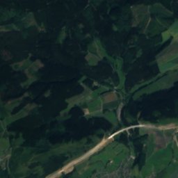
Satellite: Sentinel-2 cloudless 2016 by EOX IT Services GmbH · CC BY 4.0 · Contains modified Copernicus Sentinel data 2016

Photo: André de Saint-Paul · CC BY-SA 3.0 · Wikimedia Commons
HeveReport this photo · linked, not stored
HeveHeveReport this photo · linked, not stored

Photo: Jörg Braukmann · CC BY-SA 3.0 · Wikimedia Commons
WiedeggeReport this photo · linked, not stored
WiedeggeWiedeggeReport this photo · linked, not stored

Photo: J. Braukmann Milseburg · CC BY-SA 3.0 · Wikimedia Commons
StüppelReport this photo · linked, not stored
StüppelStüppelReport this photo · linked, not stored
RiverWarstein, North Rhine-Westphalia
Wacker
RiverBest Jun · Aug–Sep
Elevation–above sea level
Length4.5 kmsource to mouth
Nearest townWarstein6.0 km
51.43° N, 8.27° EUTC+2 · Central European Summer Time
When to goWarstein · weather score
Best timeJun · Aug–Sep
October: high / low13° / 6°
River
Wacker in brief
Wacker is a river in Warstein, North Rhine-Westphalia, Germany.
The nearest town is Warstein, 6.0 km to the E, where the weather is best in June, August and September.
Wacker is 4.5 km long.
Weather nearby now
Forecast for Warstein9°
Rain now
Today
23 Oct
12°
8°
5 mm
Sat
24 Oct
11°
4°
10 mm
Sun
25 Oct
13°
7°
22 mm
Mon
26 Oct
12°
6°
1 mm
Tue
27 Oct
17°
9°
1 mm
Model run 12:00 UTCRefreshed several times a day
Map
Wacker from above
Nature nearbyAll of Germany
Satellite: Sentinel-2 cloudless 2016 by EOX IT Services GmbH · CC BY 4.0 · Contains modified Copernicus Sentinel data 2016
Satellite: Sentinel-2 cloudless 2016 by EOX IT Services GmbH · CC BY 4.0 · Contains modified Copernicus Sentinel data 2016
Satellite: Sentinel-2 cloudless 2016 by EOX IT Services GmbH · CC BY 4.0 · Contains modified Copernicus Sentinel data 2016
Satellite: Sentinel-2 cloudless 2016 by EOX IT Services GmbH · CC BY 4.0 · Contains modified Copernicus Sentinel data 2016
Satellite: Sentinel-2 cloudless 2016 by EOX IT Services GmbH · CC BY 4.0 · Contains modified Copernicus Sentinel data 2016

Summits nearbyMountains of Germany
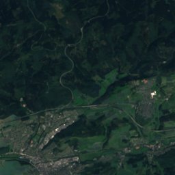
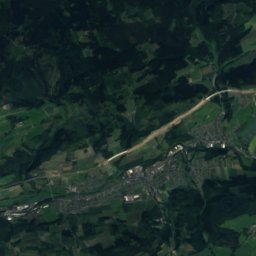
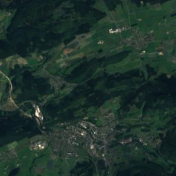
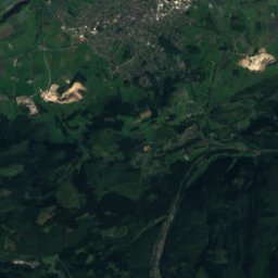
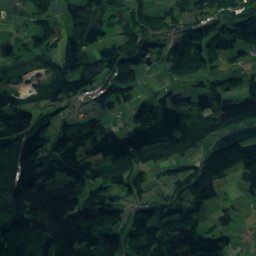
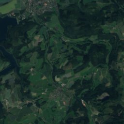
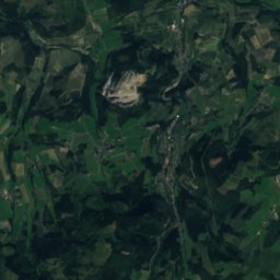
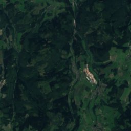
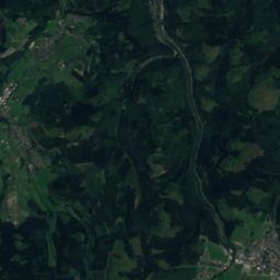
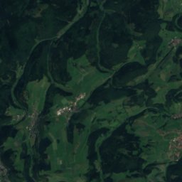
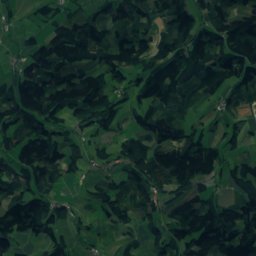
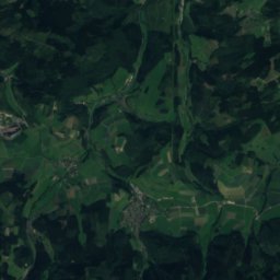
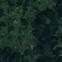
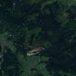
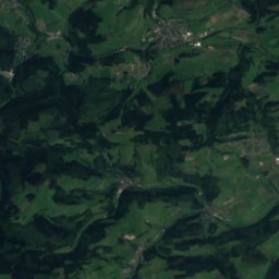
Satellite: Sentinel-2 cloudless 2016 by EOX IT Services GmbH · CC BY 4.0 · Contains modified Copernicus Sentinel data 2016
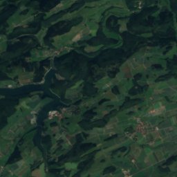
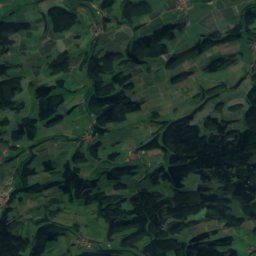
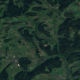
Satellite: Sentinel-2 cloudless 2016 by EOX IT Services GmbH · CC BY 4.0 · Contains modified Copernicus Sentinel data 2016
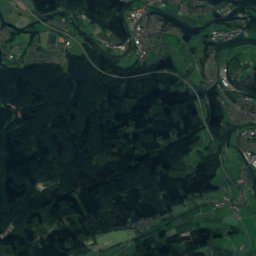
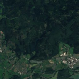
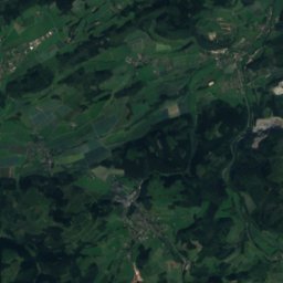
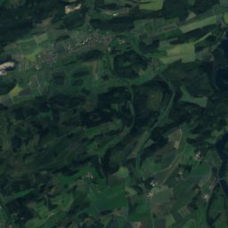
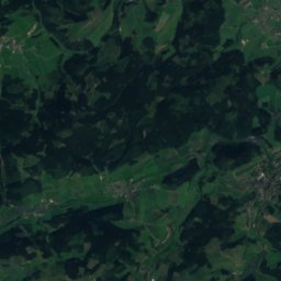
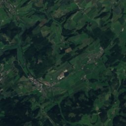
Satellite: Sentinel-2 cloudless 2016 by EOX IT Services GmbH · CC BY 4.0 · Contains modified Copernicus Sentinel data 2016
Satellite: Sentinel-2 cloudless 2016 by EOX IT Services GmbH · CC BY 4.0 · Contains modified Copernicus Sentinel data 2016


Photo: J. Braukmann Milseburg · CC BY-SA 3.0 · Wikimedia CommonsReport this photo · linked, not stored
Stay nearby
Towns close by

Photo: Th. Zimmermann (THWZ) · CC BY-SA 3.0 de · Wikimedia CommonsReport this photo · linked, not stored
Warstein
North Rhine-Westphalia · 6.0 km E
13°Oct high
13wet days
38score

Photo: Stefan Didam - Schmallenberg · CC BY-SA 3.0 · Wikimedia CommonsReport this photo · linked, not stored
Enste
North Rhine-Westphalia · 7.0 km S
13°Oct high
13wet days
36score

Photo: Magnus Gertkemper · CC BY-SA 2.0 de · Wikimedia CommonsReport this photo · linked, not stored
Belecke
North Rhine-Westphalia · 7.4 km NE
14°Oct high
13wet days
40score

Around here
Warstein and around
Photo: Th. Zimmermann (THWZ) · CC BY-SA 3.0 de · Wikimedia CommonsReport this photo · linked, not stored
Warstein
North Rhine-Westphalia · Germany
Jun · Aug–Sepbest months
23°July high
346 maltitude
Nature

Photo: Sönke Kraft aka Arnulf zu Linden · CC BY-SA 3.0 · Wikimedia CommonsReport this photo · linked, not stored
Henne
River

Photo: Stefan Didam - Schmallenberg · CC BY-SA 3.0 · Wikimedia CommonsReport this photo · linked, not stored
Glenne (Möhne)
River

Mountains


Heritage

Stadtkirche St. Pankratius
architectural heritage monument in North Rhine-Westphalia

Alte Kirche St. Pankratius
architectural heritage monument in North Rhine-Westphalia

Museums

Satellite: Sentinel-2 cloudless 2016 by EOX IT Services GmbH · CC BY 4.0 · Contains modified Copernicus Sentinel data 2016


