Skip to content
Destinations
Weather & climate
Nature
Outdoors
Culture
Events
Sky & live
Urft
Photo: Gabriele Delhey · CC BY-SA 3.0 · Wikimedia Commons
UrftReport this photo · linked, not stored
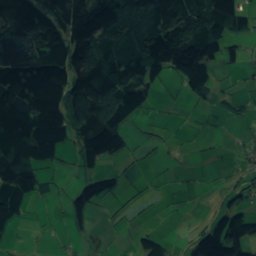
Nonnenbach, North Rhine-Westphalia
Photo: Thomas Hummel · CC BY-SA 4.0 · Wikimedia Commons
Nonnenbach, North Rhine-WestphaliaReport this photo · linked, not stored
Nonnenbach, North Rhine-Westphalia
Prether-Bach
Photo: Bungert55 · CC BY-SA 3.0 · Wikimedia Commons
Prether-BachReport this photo · linked, not stored
Prether-Bach
Platißbach
Photo: Bungert55 · CC BY-SA 3.0 · Wikimedia Commons
PlatißbachReport this photo · linked, not stored
Platißbach
Kuttenbach
Photo: Thomas Hummel · CC BY-SA 4.0 · Wikimedia Commons
KuttenbachReport this photo · linked, not stored
Kuttenbach
RiverDahlem, North Rhine-Westphalia

Urft

RiverBest Jul–Sep
Elevation–above sea level
Length50 kmsource to mouth
Nearest townDahlem4.8 km
50.42° N, 6.50° EUTC+1 · Central European Standard Time
When to goDahlem · weather score
JanFebMarAprMayJunJulAugSepOctNovDec31October
Best timeJul–Sep
October: high / low12° / 6°
River

Urft in brief

Urft is a river in Dahlem, North Rhine-Westphalia, Germany.

The nearest town is Dahlem, 4.8 km to the SE, where the weather is best in July, August and September.

Urft is 50 km long.

Dahlem: weather and travel guide

Weather nearby now

Forecast for Dahlem
9°
Cloudy now
Wind25 km/h
Humidity84%
Cloud cover100%
Today
26 Oct
10°
8°
Tue
27 Oct
13°
9°
1 mm
Wed
28 Oct
11°
4°
1 mm
Thu
29 Oct
12°
4°
Fri
30 Oct
12°
3°

Model run 12:00 UTCRefreshed several times a day

The course of the river

As mapped in OpenStreetMap, with the towns along its banks.
123
  1. 1Wolfgarten516 m
  2. 2Kall384 m
  3. 3Nettersheim452 m
sourcemouth (or where the mapped line leaves the country)
When to go

The best months around Urft

Climate of Dahlem

Month score in Dahlem

Comfort, dry days and sunshine · out of 100
13
Jan
18
Feb
19
Mar
41
Apr
54
May
63
Jun
64
Jul
64
Aug
67
Sep
31
Oct
13
Nov
11
Dec
Map

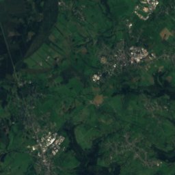
Urft from above

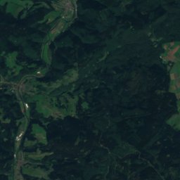
Nature nearbyAll of Germany
Photo: Thomas Hummel · CC BY-SA 4.0 · Wikimedia CommonsReport this photo · linked, not stored
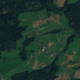
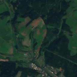
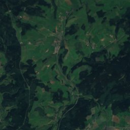
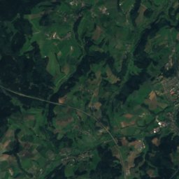
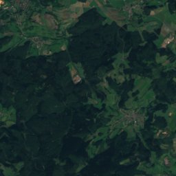
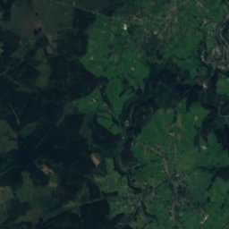
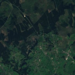
Nonnenbach, North Rhine-WestphaliaRiver6.1 kmENonnenbach, North Rhine-Westphalia
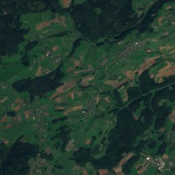
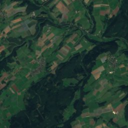
Satellite: Sentinel-2 cloudless 2016 by EOX IT Services GmbH · CC BY 4.0 · Contains modified Copernicus Sentinel data 2016
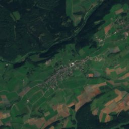
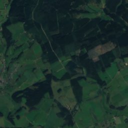
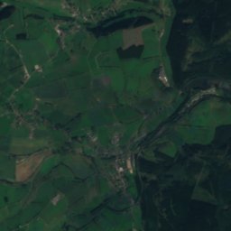
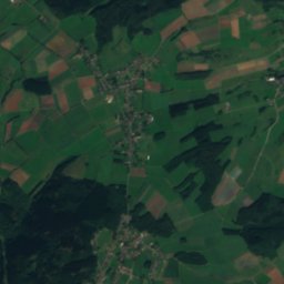
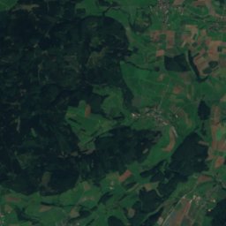
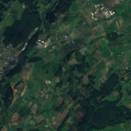
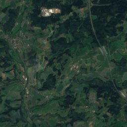
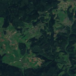
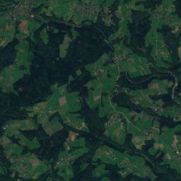
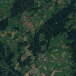
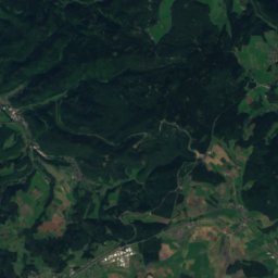
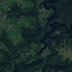
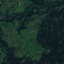
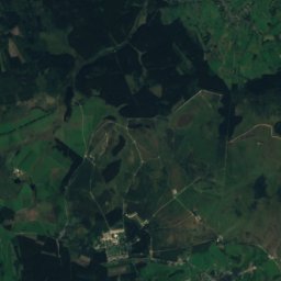
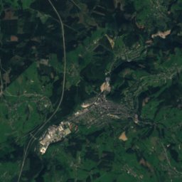
WirftRiver7.7 kmSWirft
Satellite: Sentinel-2 cloudless 2016 by EOX IT Services GmbH · CC BY 4.0 · Contains modified Copernicus Sentinel data 2016
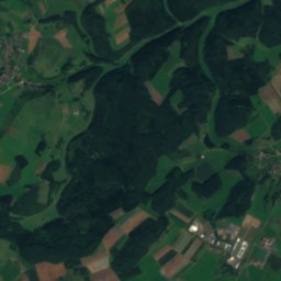
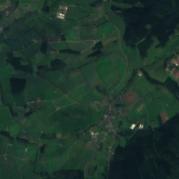
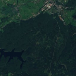
BirbachstauseeLake8.5 kmSEBirbachstausee
Photo: Bungert55 · CC BY-SA 3.0 · Wikimedia CommonsReport this photo · linked, not stored
Prether-BachRiver8.6 kmNWPrether-Bach
Photo: Bungert55 · CC BY-SA 3.0 · Wikimedia CommonsReport this photo · linked, not stored
PlatißbachRiver9.4 kmNWPlatißbach
Photo: Thomas Hummel · CC BY-SA 4.0 · Wikimedia CommonsReport this photo · linked, not stored
KuttenbachRiver12 kmNEKuttenbach
Summits nearbyMountains of Germany
Photo: Mabol! · CC BY-SA 3.0 · Wikimedia CommonsReport this photo · linked, not stored
Schwarzer Mann21 km SW698 mJuly 21°Schwarzer Mann
Photo: Macphil · CC BY-SA 2.0 de · Wikimedia CommonsReport this photo · linked, not stored
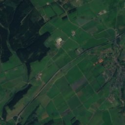
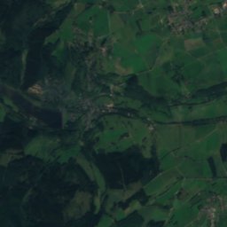
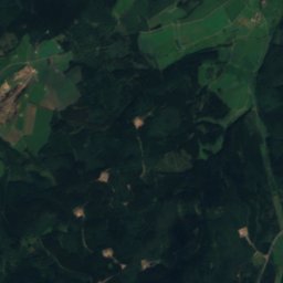
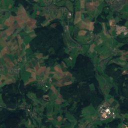
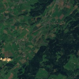
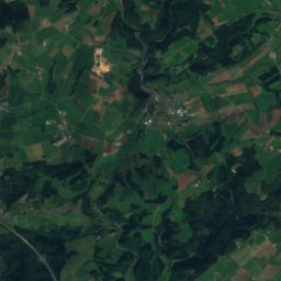
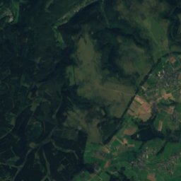
Weißer Stein9.7 km W693 mJuly 20°Weißer Stein
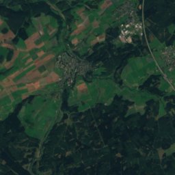
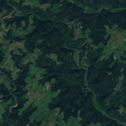
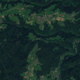
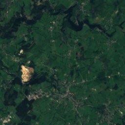
Satellite: Sentinel-2 cloudless 2016 by EOX IT Services GmbH · CC BY 4.0 · Contains modified Copernicus Sentinel data 2016
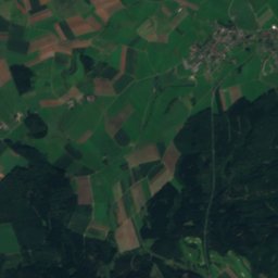
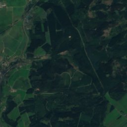
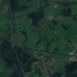
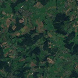
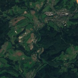
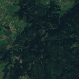
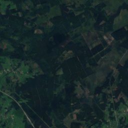
Apert25 km S631 mJuly 21°Apert
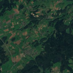
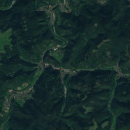
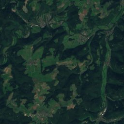
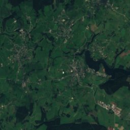
Satellite: Sentinel-2 cloudless 2016 by EOX IT Services GmbH · CC BY 4.0 · Contains modified Copernicus Sentinel data 2016
Aremberg22 km E624 mJuly 22°Aremberg
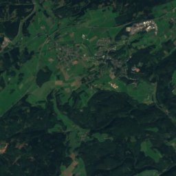
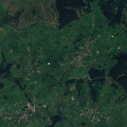
Satellite: Sentinel-2 cloudless 2016 by EOX IT Services GmbH · CC BY 4.0 · Contains modified Copernicus Sentinel data 2016
Hohe Mark20 km NW609 mJuly 21°Hohe Mark
Satellite: Sentinel-2 cloudless 2016 by EOX IT Services GmbH · CC BY 4.0 · Contains modified Copernicus Sentinel data 2016
Giesberg20 km W607 mJuly 21°Giesberg
Stay nearby

Towns close by

Dahlem
Photo: Chris06 · CC BY-SA 4.0 · Wikimedia CommonsReport this photo · linked, not stored

Dahlem

North Rhine-Westphalia · 4.8 km SE
12°Oct high
13wet days
31score
Dahlem
Kerschenbach
Photo: Colling-architektur · CC BY-SA 3.0 · Wikimedia CommonsReport this photo · linked, not stored

Kerschenbach

Rheinland-Pfalz · 7.6 km S
12°Oct high
13wet days
30score
Kerschenbach
Stadtkyll
Photo: Superbass · CC BY-SA 3.0 · Wikimedia CommonsReport this photo · linked, not stored

Stadtkyll

Rheinland-Pfalz · 7.9 km S
12°Oct high
13wet days
32score
Stadtkyll
Hallschlag
Photo: Listen-köbes · CC BY-SA 4.0 · Wikimedia CommonsReport this photo · linked, not stored

Hallschlag

Rheinland-Pfalz · 8.4 km SW
12°Oct high
13wet days
28score
Hallschlag
Around here

Dahlem and around

Dahlem
Photo: Chris06 · CC BY-SA 4.0 · Wikimedia CommonsReport this photo · linked, not stored

Dahlem

North Rhine-Westphalia · Germany
Jul–Sepbest months
22°July high
493 maltitude
Dahlem

Nature

Nonnenbach, North Rhine-Westphalia
Photo: Thomas Hummel · CC BY-SA 4.0 · Wikimedia CommonsReport this photo · linked, not stored
4.3 km NE

Nonnenbach, North Rhine-Westphalia

River
Nonnenbach, North Rhine-Westphalia
Schaafbach
Photo: Bungert55 · CC BY-SA 3.0 · Wikimedia CommonsReport this photo · linked, not stored
10 km E

Schaafbach

River
Schaafbach
Genf-Bach
Photo: © Raimond Spekking / CC BY-SA 4.0 (via Wikimedia Commons) · CC BY-SA 4.0 · Wikimedia CommonsReport this photo · linked, not stored
12 km NE

Genf-Bach

River · 449 m
Genf-Bach

Mountains

Hohe Acht
Photo: Jörg Braukmann · CC BY-SA 3.0 · Wikimedia CommonsReport this photo · linked, not stored
33 km E

Hohe Acht

746 m · High Eifel
Hohe Acht
Ernstberg
Photo: Mabol! · CC BY-SA 3.0 · Wikimedia CommonsReport this photo · linked, not stored
23 km SE

Ernstberg

700 m · Volcanic Eifel
Ernstberg
Schwarzer Mann
Photo: Mabol! · CC BY-SA 3.0 · Wikimedia CommonsReport this photo · linked, not stored
20 km SW

Schwarzer Mann

698 m · Schneifel
Schwarzer Mann

Heritage

Saint Jerome Church (Dahlem, Nordeifel)
Photo: Superbass · CC BY-SA 3.0 · Wikimedia CommonsReport this photo · linked, not stored
under 100 m W

Saint Jerome Church (Dahlem, Nordeifel)

architectural heritage monument in North Rhine-Westphalia
Saint Jerome Church (Dahlem, Nordeifel)
Burg Wildenburg (Eifel)
Photo: Own work · CC BY 2.5 · Wikimedia CommonsReport this photo · linked, not stored
9.3 km NW

Burg Wildenburg (Eifel)

architectural heritage monument in North Rhine-Westphalia · 1202
Burg Wildenburg (Eifel)
Castle Blankenheim
Photo: Borsi112 · Public domain · Wikimedia CommonsReport this photo · linked, not stored
9.3 km NE

Castle Blankenheim

architectural heritage monument in North Rhine-Westphalia · 1115
Castle Blankenheim

Museums

Georgstor
Photo: Willy Horsch · CC BY 2.5 · Wikimedia CommonsReport this photo · linked, not stored
9.2 km NE

Georgstor

Georgstor
Naturzentrum Eifel
Photo: © Raimond Spekking / CC BY-SA 4.0 (via Wikimedia Commons) · CC BY-SA 4.0 · Wikimedia CommonsReport this photo · linked, not stored
13 km NE

Naturzentrum Eifel

Naturzentrum Eifel
Jünkerath  Railway Museum
Photo: Rosemoon · CC BY-SA 3.0 · Wikimedia CommonsReport this photo · linked, not stored
5.8 km SE

Jünkerath Railway Museum

Railway museum · 2008
Jünkerath Railway Museum