Skip to content
Destinations
Weather & climate
Nature
Outdoors
Culture
Events
Sky & live
Trieb
Photo: TPO · CC BY-SA 3.0 · Wikimedia Commons
TriebReport this photo · linked, not stored
Talsperre Pöhl
Photo: Conny · CC BY-SA 3.0 · Wikimedia Commons
Talsperre PöhlReport this photo · linked, not stored
Talsperre Pöhl
Friesenbach, Saxony
Photo: N8eule78 · CC BY-SA 3.0 de · Wikimedia Commons
Friesenbach, SaxonyReport this photo · linked, not stored
Friesenbach, Saxony
Vorsperre Neuensalz
Photo: Matthias Apsel / Günther M. Apsel at de.wikipedia · CC BY-SA 3.0 · Wikimedia Commons
Vorsperre NeuensalzReport this photo · linked, not stored
Vorsperre Neuensalz
Kuhberg (Stützengrün)
Photo: Peng · CC BY-SA 3.0 · Wikimedia Commons
Kuhberg (Stützengrün)Report this photo · linked, not stored
Kuhberg (Stützengrün)
RiverPöhl, Saxony

Trieb

RiverBest Jun · Aug–Sep
Elevation–above sea level
Length33 kmsource to mouth
Nearest townPöhl1.1 km
50.55° N, 12.17° EUTC+1 · Central European Standard Time
When to goPöhl · weather score
JanFebMarAprMayJunJulAugSepOctNovDec44October
Best timeJun · Aug–Sep
October: high / low13° / 5°
River

Trieb in brief

Trieb is a river in Pöhl, Saxony, Germany.

The nearest town is Pöhl, 1.1 km to the E, where the weather is best in June, August and September.

Trieb is 33 km long.

Pöhl: weather and travel guide

Weather nearby now

Forecast for Pöhl
5°
Clear now
Wind18 km/h
Humidity83%
Cloud cover9%
Today
26 Oct
11°
4°
Tue
27 Oct
15°
5°
Wed
28 Oct
11°
5°
5 mm
Thu
29 Oct
12°
2°
Fri
30 Oct
9°
4°
2 mm

Model run 12:00 UTCRefreshed several times a day

The course of the river

As mapped in OpenStreetMap, with the towns along its banks.
1
  1. 1Pöhl370 m
sourcemouth (or where the mapped line leaves the country)
When to go

The best months around Trieb

Climate of Pöhl

Month score in Pöhl

Comfort, dry days and sunshine · out of 100
15
Jan
26
Feb
23
Mar
54
Apr
65
May
66
Jun
64
Jul
68
Aug
72
Sep
44
Oct
22
Nov
15
Dec
Map

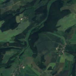
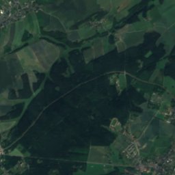
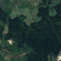
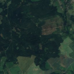
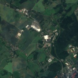
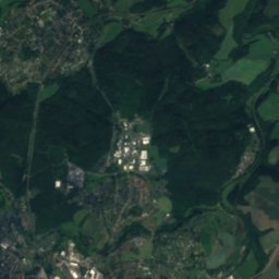
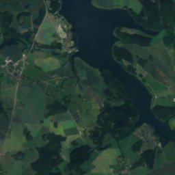
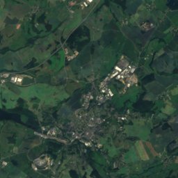
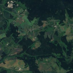
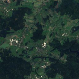
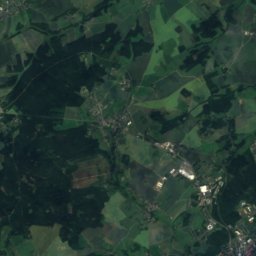
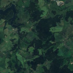
Trieb from above

Nature nearbyAll of Germany
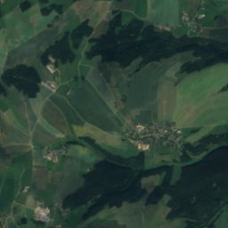
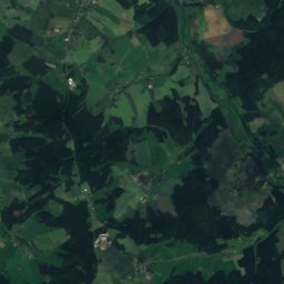
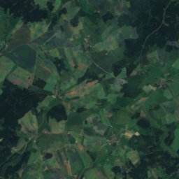
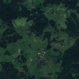
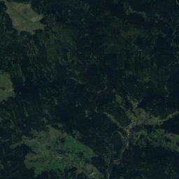
Satellite: Sentinel-2 cloudless 2016 by EOX IT Services GmbH · CC BY 4.0 · Contains modified Copernicus Sentinel data 2016
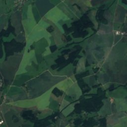
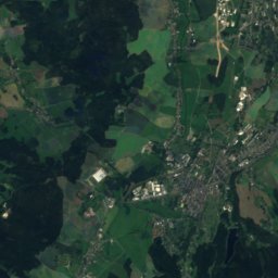
Kaltenbach, SaxonyRiver0.8 kmSKaltenbach, Saxony
Photo: Conny · CC BY-SA 3.0 · Wikimedia CommonsReport this photo · linked, not stored
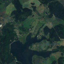
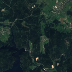
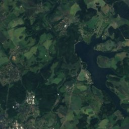
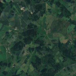
Talsperre PöhlLake2.2 kmSETalsperre Pöhl
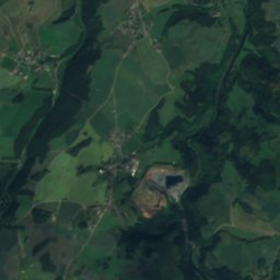
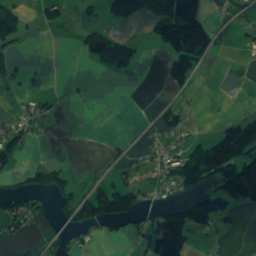
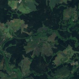
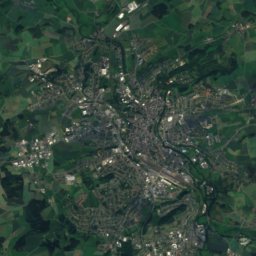
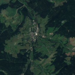
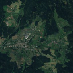
Satellite: Sentinel-2 cloudless 2016 by EOX IT Services GmbH · CC BY 4.0 · Contains modified Copernicus Sentinel data 2016
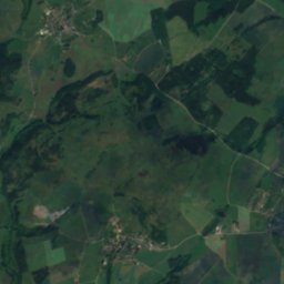
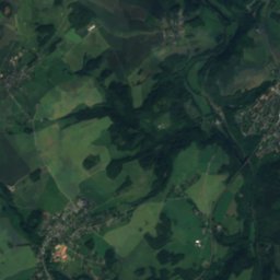
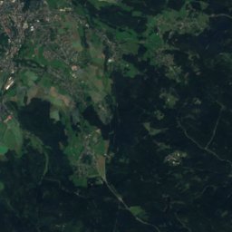
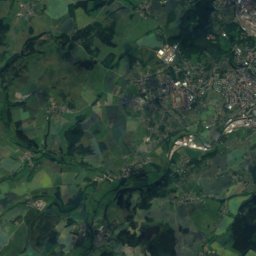
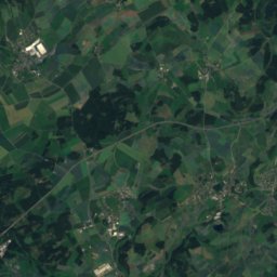
Upper RosenbachRiver3.3 kmSUpper Rosenbach
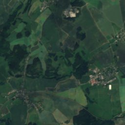
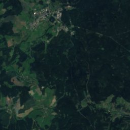
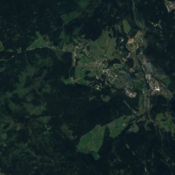
Satellite: Sentinel-2 cloudless 2016 by EOX IT Services GmbH · CC BY 4.0 · Contains modified Copernicus Sentinel data 2016
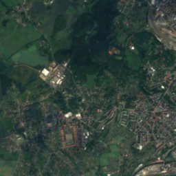
PietzschebachRiver3.5 kmSPietzschebach
Photo: N8eule78 · CC BY-SA 3.0 de · Wikimedia CommonsReport this photo · linked, not stored
Friesenbach, SaxonyRiver4.2 kmSFriesenbach, Saxony
Photo: Matthias Apsel / Günther M. Apsel at de.wikipedia · CC BY-SA 3.0 · Wikimedia CommonsReport this photo · linked, not stored
Vorsperre NeuensalzLake5.9 kmSEVorsperre Neuensalz
Summits nearbyMountains of Germany
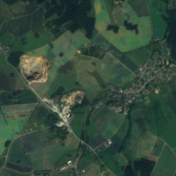
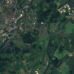
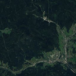
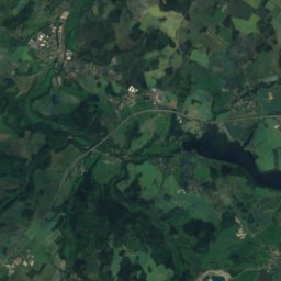
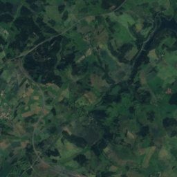
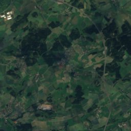
Satellite: Sentinel-2 cloudless 2016 by EOX IT Services GmbH · CC BY 4.0 · Contains modified Copernicus Sentinel data 2016
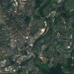
Rehhübel20 km SE932 mJuly 21°Rehhübel
Photo: Peng · CC BY-SA 3.0 · Wikimedia CommonsReport this photo · linked, not stored
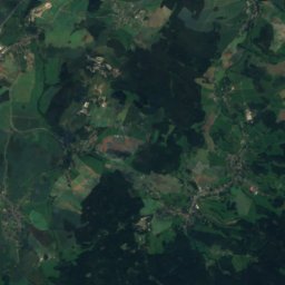
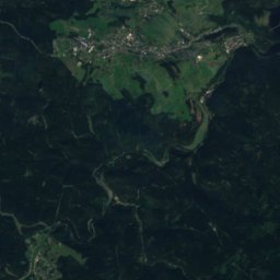
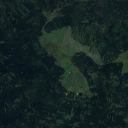
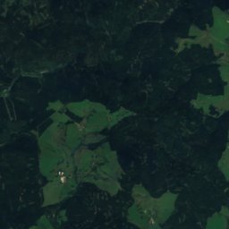
Kuhberg (Stützengrün)22 km E795 mJuly 21°Kuhberg (Stützengrün)
Satellite: Sentinel-2 cloudless 2016 by EOX IT Services GmbH · CC BY 4.0 · Contains modified Copernicus Sentinel data 2016
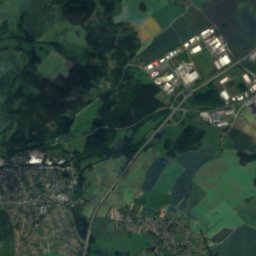
Thierberg23 km SE783 mJuly 21°Thierberg
Photo: Markscheider · CC BY 3.0 · Wikimedia CommonsReport this photo · linked, not stored
Steinberg bei Wernesgrün21 km E659 mJuly 22°Steinberg bei Wernesgrün
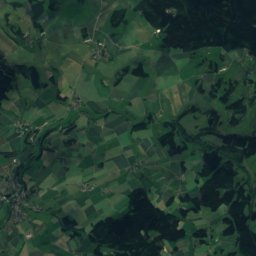
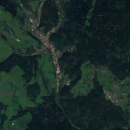
Satellite: Sentinel-2 cloudless 2016 by EOX IT Services GmbH · CC BY 4.0 · Contains modified Copernicus Sentinel data 2016
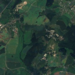
Bezelberg15 km SE638 mJuly 22°Bezelberg
Satellite: Sentinel-2 cloudless 2016 by EOX IT Services GmbH · CC BY 4.0 · Contains modified Copernicus Sentinel data 2016
Platzerberg23 km S629 mJuly 22°Platzerberg
Stay nearby

Towns close by

Pöhl
Photo: Aagnverglaser · CC BY-SA 4.0 · Wikimedia CommonsReport this photo · linked, not stored

Pöhl

Saxony · 1.1 km E
13°Oct high
10wet days
44score
Pöhl
Elsterberg
Photo: Andreas Helgert · Attribution · Wikimedia CommonsReport this photo · linked, not stored

Elsterberg

Saxony · 6.3 km N
14°Oct high
10wet days
48score
Elsterberg
Syrau
Photo: N8eule78 · CC BY-SA 4.0 · Wikimedia CommonsReport this photo · linked, not stored

Syrau

Saxony · 6.4 km W
13°Oct high
10wet days
41score
Syrau
Plauen
Photo: Tilman2007 · CC BY-SA 3.0 · Wikimedia CommonsReport this photo · linked, not stored

Plauen

Saxony · 6.5 km S
13°Oct high
11wet days
43score
Plauen
Around here

Pöhl and around

Pöhl
Photo: Aagnverglaser · CC BY-SA 4.0 · Wikimedia CommonsReport this photo · linked, not stored

Pöhl

Saxony · Germany
Jun · Aug–Sepbest months
24°July high
370 maltitude
Pöhl

Nature

Friesenbach, Saxony
Photo: N8eule78 · CC BY-SA 3.0 de · Wikimedia CommonsReport this photo · linked, not stored
4.2 km S

Friesenbach, Saxony

River
Friesenbach, Saxony
Göltzsch
Photo: Darkone (talk · contribs) · CC BY-SA 2.5 · Wikimedia CommonsReport this photo · linked, not stored
10 km N

Göltzsch

River
Göltzsch
Treba
Photo: Dor Jörsch · CC BY-SA 4.0 · Wikimedia CommonsReport this photo · linked, not stored
7.8 km E

Treba

River
Treba

Mountains

Auersberg
Photo: André Karwath aka Aka · CC BY-SA 2.5 · Wikimedia CommonsReport this photo · linked, not stored
35 km E

Auersberg

1,019 m · Ore Mountains
Auersberg
Špičák, Carlsbad Region
Photo: Lubor Ferenc · CC BY-SA 3.0 · Wikimedia CommonsReport this photo · linked, not stored
34 km SE

Špičák, Carlsbad Region

995 m · Ore Mountains
Špičák, Carlsbad Region
Satellite: Sentinel-2 cloudless 2016 by EOX IT Services GmbH · CC BY 4.0 · Contains modified Copernicus Sentinel data 2016
37 km SE

Čertova hora, Carlsbad Region

987 m · Ore Mountains
Čertova hora, Carlsbad Region

Heritage

Elster Viaduct, Pöhl
Photo: Ermell · CC BY-SA 4.0 · Wikimedia CommonsReport this photo · linked, not stored
1.2 km W

Elster Viaduct, Pöhl

heritage monument in Saxony · 1846
Elster Viaduct, Pöhl
Mosenturm
Photo: Aagnverglaser · CC BY-SA 4.0 · Wikimedia CommonsReport this photo · linked, not stored
0.4 km W

Mosenturm

heritage monument in Saxony · 1890
Mosenturm
Burg Liebau
Photo: Nebelspinne · CC BY-SA 3.0 · Wikimedia CommonsReport this photo · linked, not stored
2.4 km NW

Burg Liebau

Kulturdenkmal
Burg Liebau

Museums

Erich-Ohser-Haus
Photo: Conny · CC BY-SA 3.0 · Wikimedia CommonsReport this photo · linked, not stored
7.2 km SW

Erich-Ohser-Haus

Erich-Ohser-Haus
Vogtlandmuseum Plauen
Photo: N8eule78 · CC BY-SA 3.0 · Wikimedia CommonsReport this photo · linked, not stored
7.2 km SW

Vogtlandmuseum Plauen

Vogtlandmuseum Plauen
Weisbachsches Haus
Photo: N8eule78 · CC BY-SA 4.0 · Wikimedia CommonsReport this photo · linked, not stored
7.4 km SW

Weisbachsches Haus

1777
Weisbachsches Haus