Skip to content
Destinations
Weather & climate
Nature
Outdoors
Culture
Events
Sky & live
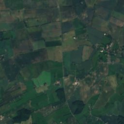
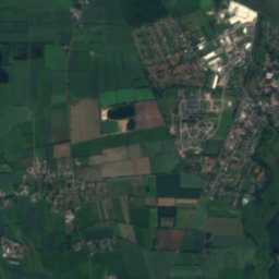
Satellite: Sentinel-2 cloudless 2016 by EOX IT Services GmbH · CC BY 4.0 · Contains modified Copernicus Sentinel data 2016
Treßsee
Photo: Wusel007 · CC BY-SA 3.0 · Wikimedia Commons
TreßseeReport this photo · linked, not stored
Treßsee
Julesee
Photo: Herzogvonnassau · CC BY-SA 3.0 · Wikimedia Commons
JuleseeReport this photo · linked, not stored
Julesee
Sankelmark lake
Photo: BlackDataF · CC BY-SA 3.0 · Wikimedia Commons
Sankelmark lakeReport this photo · linked, not stored
Sankelmark lake
RiverGroßsolt, Schleswig-Holstein

Treene

RiverBest Jun–Jul · Sep
Elevation–above sea level
Length73 kmsource to mouth
Nearest townGroßsolt2.2 km
54.70° N, 9.48° EUTC+2 · Central European Summer Time
When to goGroßsolt · weather score
JanFebMarAprMayJunJulAugSepOctNovDec33October
Best timeJun–Jul · Sep
October: high / low13° / 7°
River

Treene in brief

Treene is a river in Großsolt, Schleswig-Holstein, Germany.

The nearest town in the atlas is Großsolt, 2.2 km to the E, where the weather is best in June, July and September.

Treene is 73 km long.

Großsolt: weather and travel guide

Weather nearby now

Forecast for Großsolt
10°
Rain now
Wind20 km/h
Humidity90%
Cloud cover91%
Today
22 Oct
12°
7°
2 mm
Fri
23 Oct
10°
5°
2 mm
Sat
24 Oct
12°
8°
2 mm
Sun
25 Oct
12°
7°
25 mm
Mon
26 Oct
13°
7°
3 mm

Model run 00:00 UTCRefreshed several times a day

The course of the river

As mapped in OpenStreetMap, with the towns of the atlas along its banks.
1234567891011121314
  1. 1Großsolt41 m
  2. 2Sankelmark40 m
  3. 3Oeversee29 m
  4. 4Tarp27 m
  5. 5Jörl8 m
  6. 6Treia5 m
  7. 7Hollingstedt2 m
  8. 8Dörpstedt7 m
  9. 9Schwabstedt9 m
  10. 10Ramstedt21 m
  11. 11Seeth5 m
  12. 12Koldenbüttel0 m
  13. 13Friedrichstadt3 m
  14. 14Sankt Annen-1 m
sourcemouth (or where the mapped line leaves the country)
When to go

The best months around Treene

Climate of Großsolt

Month score in Großsolt

Comfort, dry days and sunshine · out of 100
14
Jan
22
Feb
26
Mar
46
Apr
65
May
70
Jun
66
Jul
65
Aug
66
Sep
33
Oct
15
Nov
14
Dec
Map

Treene from above

Nature nearbyAll of Germany
Photo: Wusel007 · CC BY-SA 3.0 · Wikimedia CommonsReport this photo · linked, not stored
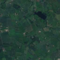
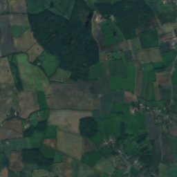
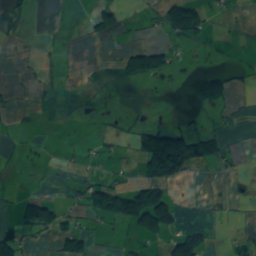
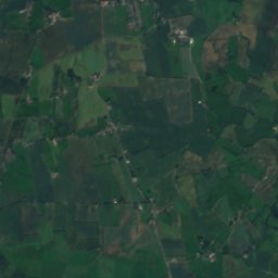
TreßseeLakeunder 100 mSTreßsee
Photo: Herzogvonnassau · CC BY-SA 3.0 · Wikimedia CommonsReport this photo · linked, not stored
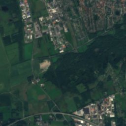
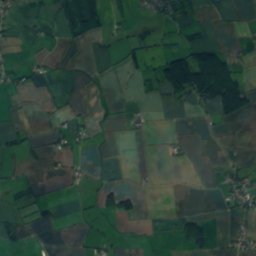
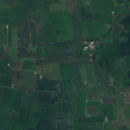
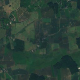
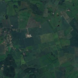
JuleseeLake0.8 kmNWJulesee
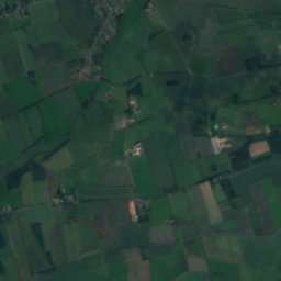
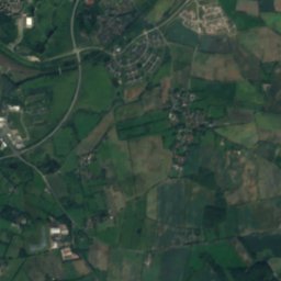
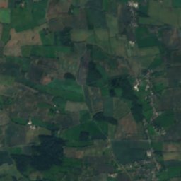
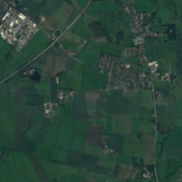
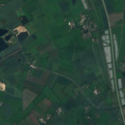
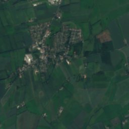
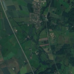
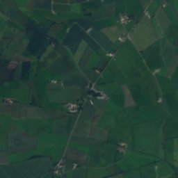
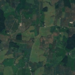
Satellite: Sentinel-2 cloudless 2016 by EOX IT Services GmbH · CC BY 4.0 · Contains modified Copernicus Sentinel data 2016
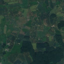
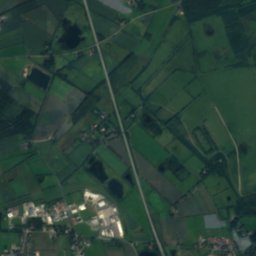
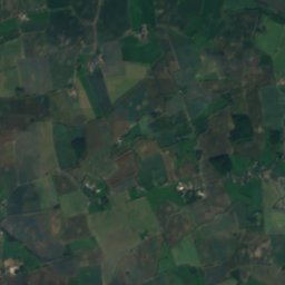
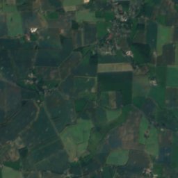
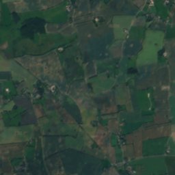
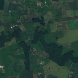
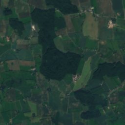
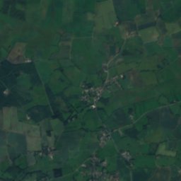
BondenauRiver1.3 kmEBondenau
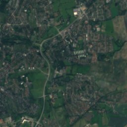
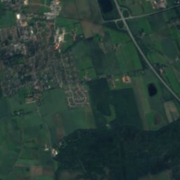
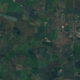
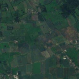
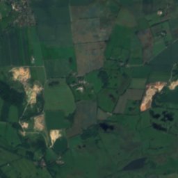
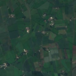
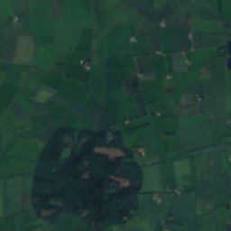
Satellite: Sentinel-2 cloudless 2016 by EOX IT Services GmbH · CC BY 4.0 · Contains modified Copernicus Sentinel data 2016
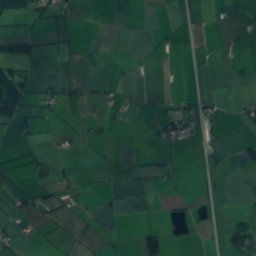
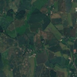
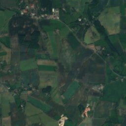
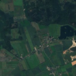
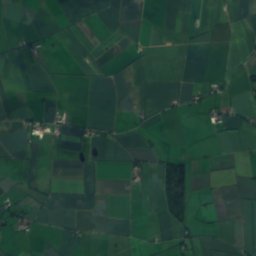
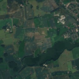
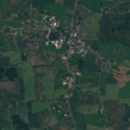
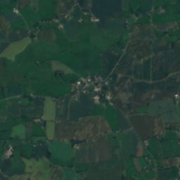
HolmarkseeLake1.7 kmNEHolmarksee
Photo: BlackDataF · CC BY-SA 3.0 · Wikimedia CommonsReport this photo · linked, not stored
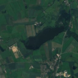
Sankelmark lakeLake3.7 kmWSankelmark lake
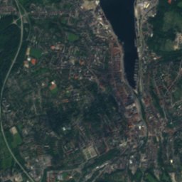
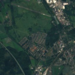
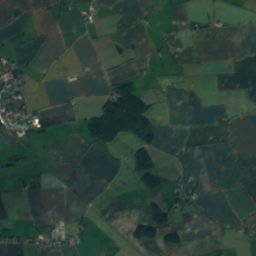
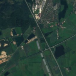
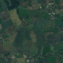
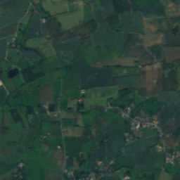
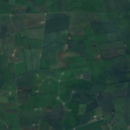
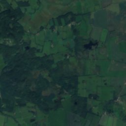
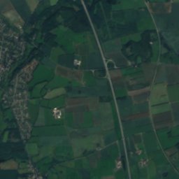
Satellite: Sentinel-2 cloudless 2016 by EOX IT Services GmbH · CC BY 4.0 · Contains modified Copernicus Sentinel data 2016
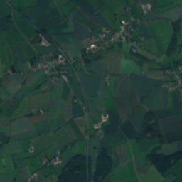
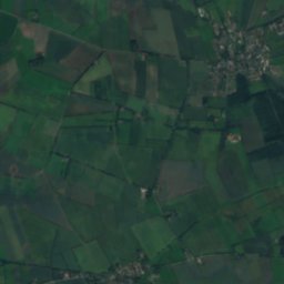
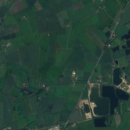
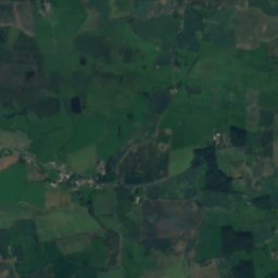
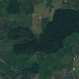
Havetofter SeeLake7.1 kmSHavetofter See
Stay nearby

Towns close by

Großsolt
Photo: Pelz · CC BY-SA 3.0 de · Wikimedia CommonsReport this photo · linked, not stored

Großsolt

Schleswig-Holstein · 2.2 km E
13°Oct high
14wet days
33score
Großsolt
Freienwill
Photo: Pelz · CC BY-SA 3.0 de · Wikimedia CommonsReport this photo · linked, not stored

Freienwill

Schleswig-Holstein · 3.0 km N
13°Oct high
14wet days
33score
Freienwill
Oeversee
Photo: Marseille77 · CC BY-SA 4.0 · Wikimedia CommonsReport this photo · linked, not stored

Oeversee

Schleswig-Holstein · 3.1 km W
13°Oct high
14wet days
33score
Oeversee
Sankelmark
Photo: Marseille77 · CC BY-SA 4.0 · Wikimedia CommonsReport this photo · linked, not stored

Sankelmark

Schleswig-Holstein · 3.6 km NW
13°Oct high
14wet days
33score
Sankelmark
Around here

Großsolt and around

Großsolt
Photo: Pelz · CC BY-SA 3.0 de · Wikimedia CommonsReport this photo · linked, not stored

Großsolt

Schleswig-Holstein · Germany
Jun–Jul · Sepbest months
22°July high
41 maltitude
Großsolt

Nature

Südensee
Photo: Wusel007 · CC BY-SA 3.0 · Wikimedia CommonsReport this photo · linked, not stored
8.9 km E

Südensee

Lake · 28 m
Südensee
Sankelmark lake
Photo: BlackDataF · CC BY-SA 3.0 · Wikimedia CommonsReport this photo · linked, not stored
5.9 km W

Sankelmark lake

Lake · 25 m
Sankelmark lake
Winderatter See
Photo: Wusel007 · CC BY-SA 3.0 · Wikimedia CommonsReport this photo · linked, not stored
7.8 km NE

Winderatter See

Lake · 40 m
Winderatter See

Heritage

Großsolt Church
Photo: "Foto Wolfgang Pehlemann" direkt unter dem Bild mit Angabe "erweiterte Lizenz CC · CC BY-SA 3.0 de · Wikimedia CommonsReport this photo · linked, not stored
0.2 km W

Großsolt Church

Kulturdenkmal
Großsolt Church
Glücksburg Castle
Photo: User:Matthias Süßen · CC BY-SA 4.0 · Wikimedia CommonsReport this photo · linked, not stored
15 km N

Glücksburg Castle

Kulturdenkmal · 1583
Glücksburg Castle
Wasserturm Flensburg-Mürwik
Photo: Marseille77 · CC BY-SA 4.0 · Wikimedia CommonsReport this photo · linked, not stored
12 km NW

Wasserturm Flensburg-Mürwik

Kulturdenkmal · 1961
Wasserturm Flensburg-Mürwik

Museums

Landschaftsmuseum Angeln
Photo: Matthias Süßen · CC BY-SA 4.0 · Wikimedia CommonsReport this photo · linked, not stored
14 km NE

Landschaftsmuseum Angeln

Landschaftsmuseum Angeln
Museumsberg Flensburg
Photo: Jens Junge · CC BY-SA 4.0 · Wikimedia CommonsReport this photo · linked, not stored
11 km NW

Museumsberg Flensburg

Art museum
Museumsberg Flensburg
Flensburger Schifffahrtsmuseum
Photo: VollwertBIT · CC BY-SA 2.5 · Wikimedia CommonsReport this photo · linked, not stored
12 km NW

Flensburger Schifffahrtsmuseum

Maritime museum · 1843
Flensburger Schifffahrtsmuseum