Skip to content
Destinations
Weather & climate
Nature
Outdoors
Culture
Events
Sky & live
Trappensee
Photo: Photopippo · CC BY-SA 3.0 · Wikimedia Commons
TrappenseeReport this photo · linked, not stored
Stadtseebach
Photo: Rosenzweig · CC BY-SA 3.0 · Wikimedia Commons
StadtseebachReport this photo · linked, not stored
Stadtseebach
Schozach
Photo: Ssch · CC BY-SA 3.0 · Wikimedia Commons
SchozachReport this photo · linked, not stored
Schozach
Ottilienberg
Photo: Peter Schmelzle · CC BY-SA 3.0 · Wikimedia Commons
OttilienbergReport this photo · linked, not stored
Ottilienberg
Hohe Brach
Photo: Schelm · CC BY-SA 3.0 · Wikimedia Commons
Hohe BrachReport this photo · linked, not stored
Hohe Brach
LakeHeilbronn, Baden-Wurttemberg

Trappensee

Lake183 m elevationBest May–Jun · Sep
Elevation183 mabove sea level
Area0.0 km²surface
Nearest townHeilbronn2.4 km
49.14° N, 9.25° EElevation 183 mUTC+1 · Central European Standard Time
When to goHeilbronn · weather score
JanFebMarAprMayJunJulAugSepOctNovDec50October
Best timeMay–Jun · Sep
October: high / low15° / 7°
Lake

Trappensee in brief

Trappensee is a lake in Heilbronn, Baden-Wurttemberg, Germany.

It lies at 183 m above sea level and covers about 0.0 km².

The nearest town is Heilbronn, 2.4 km to the W, where the weather is best in May, June and September.

Heilbronn: weather and travel guide

Weather nearby now

Forecast for Heilbronn
9°
Cloudy now
Wind5 km/h
Humidity75%
Cloud cover98%
Today
27 Oct
17°
9°
Wed
28 Oct
15°
5°
2 mm
Thu
29 Oct
14°
2°
Fri
30 Oct
13°
3°
Sat
31 Oct
13°
3°

Model run 12:00 UTCRefreshed several times a day

When to go

The best months around Trappensee

Climate of Heilbronn

Month score in Heilbronn

Comfort, dry days and sunshine · out of 100
Map

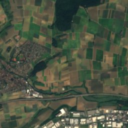
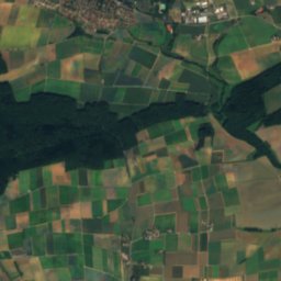
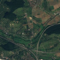
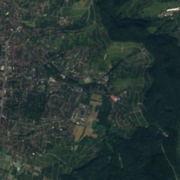
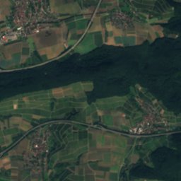
Trappensee from above

Nature nearbyAll of Germany
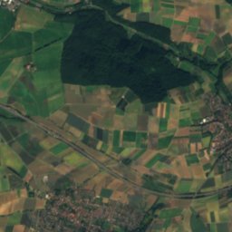
Satellite: Sentinel-2 cloudless 2016 by EOX IT Services GmbH · CC BY 4.0 · Contains modified Copernicus Sentinel data 2016
Mönchsee, Baden-WurttembergLake1.8 kmWMönchsee, Baden-Wurttemberg
Photo: Rosenzweig · CC BY-SA 3.0 · Wikimedia CommonsReport this photo · linked, not stored
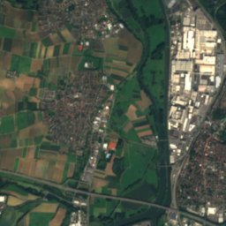
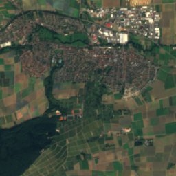
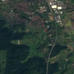
StadtseebachRiver3.4 kmNStadtseebach
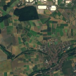
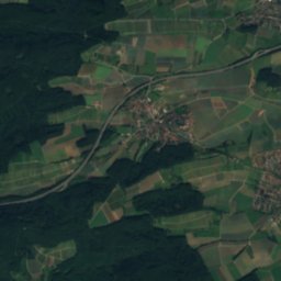
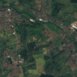
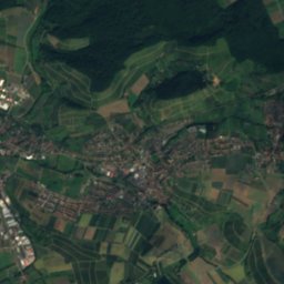
Satellite: Sentinel-2 cloudless 2016 by EOX IT Services GmbH · CC BY 4.0 · Contains modified Copernicus Sentinel data 2016
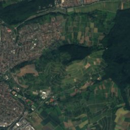
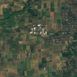
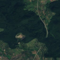
Große BleichinselIsland4.1 kmWGroße Bleichinsel
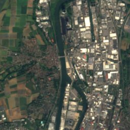
Satellite: Sentinel-2 cloudless 2016 by EOX IT Services GmbH · CC BY 4.0 · Contains modified Copernicus Sentinel data 2016
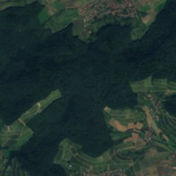
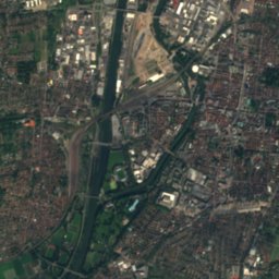
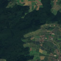
Lein (Neckar)River4.7 kmNWLein (Neckar)
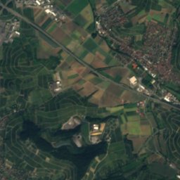
Satellite: Sentinel-2 cloudless 2016 by EOX IT Services GmbH · CC BY 4.0 · Contains modified Copernicus Sentinel data 2016
Ellbach (Sulm)River5.2 kmEEllbach (Sulm)
Photo: Ssch · CC BY-SA 3.0 · Wikimedia CommonsReport this photo · linked, not stored
SchozachRiver5.2 kmSWSchozach
Summits nearbyMountains of Germany
Photo: Peter Schmelzle · CC BY-SA 3.0 · Wikimedia CommonsReport this photo · linked, not stored
Ottilienberg24 km W744 mJuly 25°Ottilienberg
Photo: Schelm · CC BY-SA 3.0 · Wikimedia CommonsReport this photo · linked, not stored
Hohe Brach24 km SE587 mJuly 23°Hohe Brach
Photo: Rosenzweig · CC BY-SA 3.0 · Wikimedia CommonsReport this photo · linked, not stored
Stocksberg14 km SE539 mJuly 24°Stocksberg
Photo: juxer · CC BY-SA 3.0 · Wikimedia CommonsReport this photo · linked, not stored
Juxkopf18 km SE533 mJuly 24°Juxkopf
Photo: Rosenzweig · CC BY-SA 3.0 · Wikimedia CommonsReport this photo · linked, not stored
Steinknickle17 km E525 mJuly 24°Steinknickle
Photo: P. Fendrich · CC BY 3.0 · Wikimedia CommonsReport this photo · linked, not stored
Baiselsberg24 km SW477 mJuly 24°Baiselsberg
Stay nearby

Towns close by

Heilbronn
Photo: Joachim Köhler · CC BY-SA 3.0 · Wikimedia CommonsReport this photo · linked, not stored

Heilbronn

Baden-Wurttemberg · 2.4 km W
15°Oct high
12wet days
50score
Heilbronn
Weinsberg
Photo: Roman Eisele · CC BY-SA 4.0 · Wikimedia CommonsReport this photo · linked, not stored

Weinsberg

Baden-Wurttemberg · 2.8 km NE
15°Oct high
12wet days
49score
Weinsberg
Erlenbach
Photo: Rosenzweig · CC BY-SA 3.0 · Wikimedia CommonsReport this photo · linked, not stored

Erlenbach

Baden-Wurttemberg · 3.9 km N
15°Oct high
12wet days
50score
Erlenbach
Ellhofen
Photo: Rosenzweig · CC BY-SA 3.0 · Wikimedia CommonsReport this photo · linked, not stored

Ellhofen

Baden-Wurttemberg · 5.0 km E
15°Oct high
12wet days
50score
Ellhofen
Around here

Heilbronn and around

Heilbronn
Photo: Joachim Köhler · CC BY-SA 3.0 · Wikimedia CommonsReport this photo · linked, not stored

Heilbronn

Baden-Wurttemberg · Germany
May–Jun · Sepbest months
26°July high
173 maltitude
Heilbronn

Nature

Annasee
Photo: Mussklprozz · CC BY-SA 3.0 · Wikimedia CommonsReport this photo · linked, not stored
12 km SE

Annasee

Lake · 376 m
Annasee
Sulm
Photo: Rosenzweig · CC BY-SA 3.0 · Wikimedia CommonsReport this photo · linked, not stored
7.6 km N

Sulm

River
Sulm
Schozach
Photo: Ssch · CC BY-SA 3.0 · Wikimedia CommonsReport this photo · linked, not stored
3.2 km SW

Schozach

River
Schozach

Mountains

Ottilienberg
Photo: Peter Schmelzle · CC BY-SA 3.0 · Wikimedia CommonsReport this photo · linked, not stored
21 km W

Ottilienberg

744 m
Ottilienberg
Katzenbuckel
Photo: Dirk Schmidt · CC BY-SA 3.0 · Wikimedia CommonsReport this photo · linked, not stored
39 km N

Katzenbuckel

626 m · Odenwald
Katzenbuckel
Hohe Brach
Photo: Schelm · CC BY-SA 3.0 · Wikimedia CommonsReport this photo · linked, not stored
27 km SE

Hohe Brach

587 m · Mainhardt Forest
Hohe Brach

Heritage

Alter Bahnhof Heilbronn
Photo: K. Jähne · CC BY-SA 3.0 · Wikimedia CommonsReport this photo · linked, not stored
0.7 km NW

Alter Bahnhof Heilbronn

Kulturdenkmal
Alter Bahnhof Heilbronn
Deutschordenskommende Heilbronn
Photo: Roland Knobloch · CC0 · Wikimedia CommonsReport this photo · linked, not stored
0.3 km NW

Deutschordenskommende Heilbronn

Kulturdenkmal
Deutschordenskommende Heilbronn
St. Nicholas Church, Heilbronn
Photo: Joachim Köhler · CC BY-SA 3.0 · Wikimedia CommonsReport this photo · linked, not stored
0.6 km N

St. Nicholas Church, Heilbronn

Kulturdenkmal
St. Nicholas Church, Heilbronn

Museums

South German Railway Museum
Photo: --Xocolatl 18:34, 2 July 2007 (UTC) · Public domain · Wikimedia CommonsReport this photo · linked, not stored
2.0 km W

South German Railway Museum

Railway museum
South German Railway Museum
Kunsthalle Vogelmann
Photo: p. schmelzle · CC BY-SA 3.0 · Wikimedia CommonsReport this photo · linked, not stored
0.4 km NE

Kunsthalle Vogelmann

Kunsthalle · 2010
Kunsthalle Vogelmann
Experimenta
Photo: Sciencemarker · CC BY-SA 4.0 · Wikimedia CommonsReport this photo · linked, not stored
0.6 km NW

Experimenta

Science center · 2009
Experimenta