Skip to content
Destinations
Weather & climate
Nature
Outdoors
Culture
Events
Sky & live
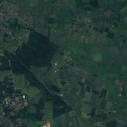
Tönsbek
Photo: Fonzie · CC BY-SA 3.0 · Wikimedia Commons
TönsbekReport this photo · linked, not stored
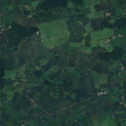
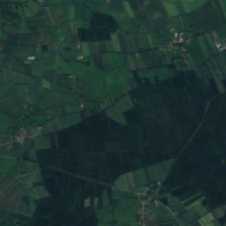
Sellbek
Photo: Fonzie · CC BY-SA 3.0 · Wikimedia Commons
SellbekReport this photo · linked, not stored
Sellbek
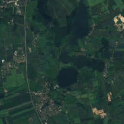
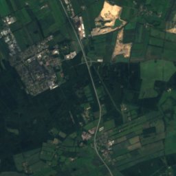
Mühlenteich, Schleswig-Holstein
Photo: Fonzie · CC BY-SA 4.0 · Wikimedia Commons
Mühlenteich, Schleswig-HolsteinReport this photo · linked, not stored
Mühlenteich, Schleswig-Holstein
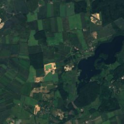
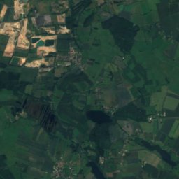
Hühnerkampsteich
Photo: Fonzie · CC BY-SA 4.0 · Wikimedia Commons
HühnerkampsteichReport this photo · linked, not stored
Hühnerkampsteich
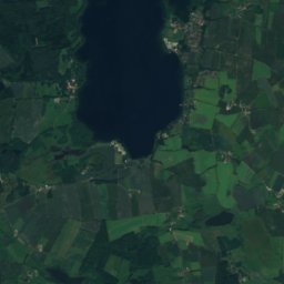
Burbek
Photo: Fonzie · CC BY-SA 3.0 · Wikimedia Commons
BurbekReport this photo · linked, not stored
Burbek
RiverWiedenborstel, Schleswig-Holstein

Tönsbek

RiverBest May–Jul
Elevation–above sea level
Length4.5 kmsource to mouth
Nearest townWiedenborstel2.2 km
54.06° N, 9.76° EUTC+1 · Central European Standard Time
When to goWiedenborstel · weather score
JanFebMarAprMayJunJulAugSepOctNovDec35October
Best timeMay–Jul
October: high / low13° / 6°
River

Tönsbek in brief

Tönsbek is a river in Wiedenborstel, Schleswig-Holstein, Germany.

The nearest town is Wiedenborstel, 2.2 km to the S, where the weather is best in May, June and July.

Tönsbek is 4.5 km long.

Wiedenborstel: weather and travel guide

Weather nearby now

Forecast for Wiedenborstel
13°
Cloudy now
Wind25 km/h
Humidity85%
Cloud cover100%
Today
27 Oct
15°
9°
1 mm
Wed
28 Oct
14°
8°
2 mm
Thu
29 Oct
14°
7°
2 mm
Fri
30 Oct
13°
6°
Sat
31 Oct
13°
9°

Model run 00:00 UTCRefreshed several times a day

When to go

The best months around Tönsbek

Climate of Wiedenborstel

Month score in Wiedenborstel

Comfort, dry days and sunshine · out of 100
13
Jan
21
Feb
25
Mar
49
Apr
68
May
68
Jun
64
Jul
64
Aug
64
Sep
35
Oct
15
Nov
13
Dec
Map

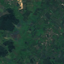
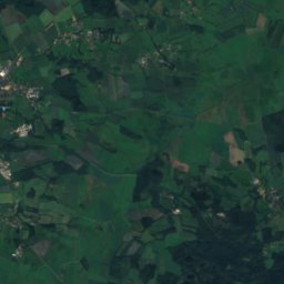
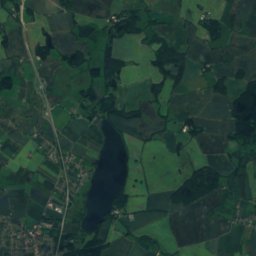
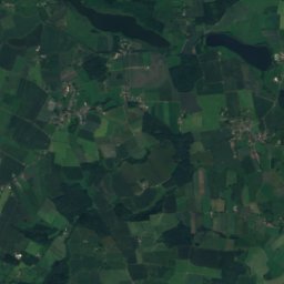
Tönsbek from above

Nature nearbyAll of Germany
Photo: Fonzie · CC BY-SA 3.0 · Wikimedia CommonsReport this photo · linked, not stored
SellbekRiver1.2 kmSESellbek
Photo: Fonzie · CC BY-SA 4.0 · Wikimedia CommonsReport this photo · linked, not stored
Mühlenteich, Schleswig-HolsteinLake2.8 kmEMühlenteich, Schleswig-Holstein
Photo: Fonzie · CC BY-SA 4.0 · Wikimedia CommonsReport this photo · linked, not stored
HühnerkampsteichLake2.9 kmNEHühnerkampsteich
Photo: Fonzie · CC BY-SA 3.0 · Wikimedia CommonsReport this photo · linked, not stored
BurbekRiver3.2 kmNEBurbek
Photo: Fonzie · Public domain · Wikimedia CommonsReport this photo · linked, not stored
HöllenauRiver3.3 kmNEHöllenau
Photo: Fonzie · CC BY-SA 4.0 · Wikimedia CommonsReport this photo · linked, not stored
Bünzer TeichLake3.3 kmEBünzer Teich
Summits nearbyMountains of Germany
Photo: Wusel007 · CC BY-SA 3.0 · Wikimedia CommonsReport this photo · linked, not stored
Box-Berg1.6 km NW77 mJuly 23°Box-Berg
Stay nearby

Towns close by
Wiedenborstel
Photo: Fonzie · Public domain · Wikimedia CommonsReport this photo · linked, not stored

Wiedenborstel

Schleswig-Holstein · 2.2 km S
13°Oct high
14wet days
35score
Wiedenborstel
Aukrug
Photo: Fonzie · Public domain · Wikimedia CommonsReport this photo · linked, not stored

Aukrug

Schleswig-Holstein · 2.7 km NE
13°Oct high
14wet days
36score
Aukrug
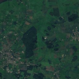
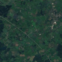
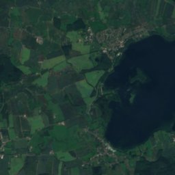
Satellite: Sentinel-2 cloudless 2016 by EOX IT Services GmbH · CC BY 4.0 · Contains modified Copernicus Sentinel data 2016

Meezen

Schleswig-Holstein · 3.5 km W
13°Oct high
14wet days
35score
Meezen
Hennstedt
Photo: Wusel007 · CC BY-SA 3.0 · Wikimedia CommonsReport this photo · linked, not stored

Hennstedt

Schleswig-Holstein · 4.5 km SW
13°Oct high
14wet days
35score
Hennstedt
Around here

Wiedenborstel and around

Wiedenborstel
Photo: Fonzie · Public domain · Wikimedia CommonsReport this photo · linked, not stored

Wiedenborstel

Schleswig-Holstein · Germany
May–Julbest months
23°July high
47 maltitude
Wiedenborstel

Nature

Aalbek (Stör)
Photo: Wusel007 · CC BY-SA 3.0 · Wikimedia CommonsReport this photo · linked, not stored
8.9 km E

Aalbek (Stör)

River · 11 m
Aalbek (Stör)
Bünzau
Photo: Fonzie · Public domain · Wikimedia CommonsReport this photo · linked, not stored
3.8 km E

Bünzau

River · 17 m
Bünzau
Mühlenbarbeker Au
Photo: C. Löser · CC BY 3.0 de · Wikimedia CommonsReport this photo · linked, not stored
4.5 km SW

Mühlenbarbeker Au

River · 1 m
Mühlenbarbeker Au

Mountains

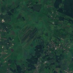
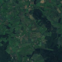
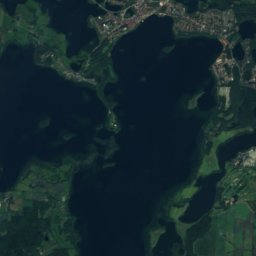
Satellite: Sentinel-2 cloudless 2016 by EOX IT Services GmbH · CC BY 4.0 · Contains modified Copernicus Sentinel data 2016
34 km E

Grimmelsberg

83 m
Grimmelsberg
Box-Berg
Photo: Wusel007 · CC BY-SA 3.0 · Wikimedia CommonsReport this photo · linked, not stored
3.3 km NW

Box-Berg

77 m
Box-Berg

Heritage

Vicelinkirche, Neumünster
Photo: I, Barghaan · CC BY 2.5 · Wikimedia CommonsReport this photo · linked, not stored
15 km E

Vicelinkirche, Neumünster

Heritage monument in Schleswig-Holstein
Vicelinkirche, Neumünster
Dreifaltigkeitskirche (Hohenlockstedt)
Photo: Nightflyer · CC BY-SA 3.0 · Wikimedia CommonsReport this photo · linked, not stored
12 km SW

Dreifaltigkeitskirche (Hohenlockstedt)

Heritage monument in Schleswig-Holstein
Dreifaltigkeitskirche (Hohenlockstedt)
Dat ole Hus
Photo: Fonzie · Public domain · Wikimedia CommonsReport this photo · linked, not stored
3.9 km NE

Dat ole Hus

Kulturdenkmal · 1961
Dat ole Hus

Museums

Tuch und Technik Textilmuseum Neumünster
Photo: Wusel007 · CC BY-SA 3.0 · Wikimedia CommonsReport this photo · linked, not stored
15 km E

Tuch und Technik Textilmuseum Neumünster

1914
Tuch und Technik Textilmuseum Neumünster
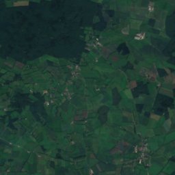
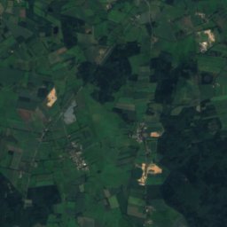
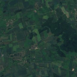
Satellite: Sentinel-2 cloudless 2016 by EOX IT Services GmbH · CC BY 4.0 · Contains modified Copernicus Sentinel data 2016
11 km S

Museum Kellinghusen

Museum Kellinghusen
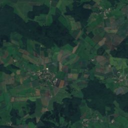
Satellite: Sentinel-2 cloudless 2016 by EOX IT Services GmbH · CC BY 4.0 · Contains modified Copernicus Sentinel data 2016
8.9 km NW

Heimatmuseum Hohenwestedt

Local museum
Heimatmuseum Hohenwestedt