

Photo: Oceancetaceen Alice Chodura · CC BY-SA 3.0 · Wikimedia Commons
KruppseeReport this photo · linked, not stored
KruppseeKruppseeReport this photo · linked, not stored

Photo: Notdefine · CC BY-SA 3.0 · Wikimedia Commons
Lake ElfrathReport this photo · linked, not stored
Lake ElfrathLake ElfrathReport this photo · linked, not stored

Photo: Matthias Nonnenmacher · CC BY-SA 4.0 · Wikimedia Commons
DickelsbachReport this photo · linked, not stored
DickelsbachDickelsbachReport this photo · linked, not stored
 Ruhr
LakeMoers, North Rhine-Westphalia
Toeppersee
Lake34 m elevationBest May · Aug–Sep
Elevation34 mabove sea level
Area0.5 km²surface
Nearest townMoers6.5 km
51.40° N, 6.68° EElevation 34 mUTC+1 · Central European Standard Time
When to goMoers · weather score
Best timeMay · Aug–Sep
October: high / low15° / 8°
Lake
Toeppersee in brief
Toeppersee is a lake in Moers, North Rhine-Westphalia, Germany.
It lies at 34 m above sea level and covers about 0.5 km².
The nearest town is Moers, 6.5 km to the NW, where the weather is best in May, August and September.
Weather nearby now
Forecast for Moers10°
Partly cloudy now
Today
30 Oct
13°
7°
Sat
31 Oct
12°
6°
Sun
1 Nov
11°
7°
Mon
2 Nov
13°
7°
1 mm
Tue
3 Nov
11°
5°
Model run 12:00 UTCRefreshed several times a day
The lake's water
Surface, average depth and volume of the lake, and the length of its shore.Surface0.5 km²
Average depth3 m
Volume2 million m³
Shoreline4.0 km
Map
Toeppersee from above
Nature nearbyAll of Germany

Photo: Oceancetaceen Alice Chodura · CC BY-SA 3.0 · Wikimedia CommonsReport this photo · linked, not stored


Photo: Matthias Nonnenmacher · CC BY-SA 4.0 · Wikimedia CommonsReport this photo · linked, not stored


Summits nearbyMountains of Germany
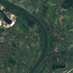
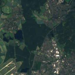
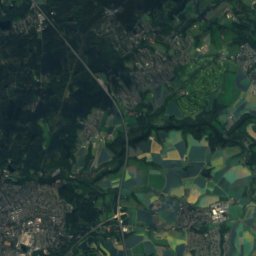
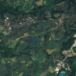
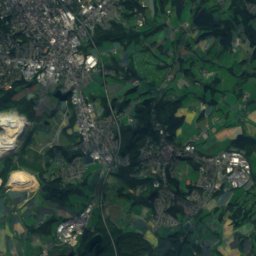
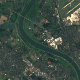
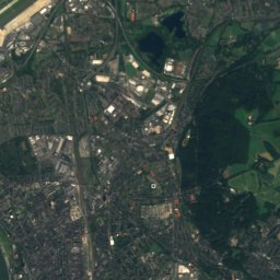
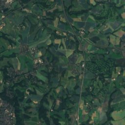
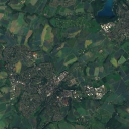
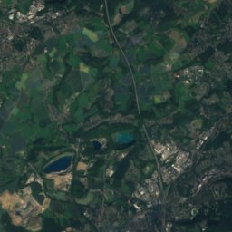
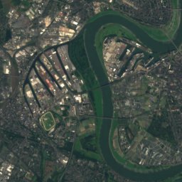
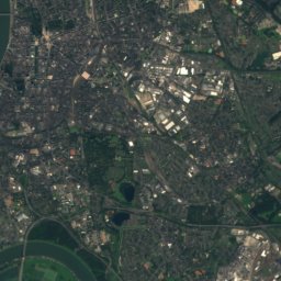
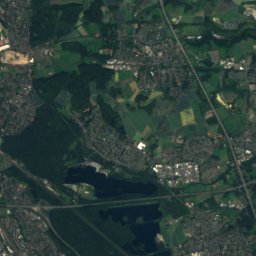
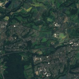
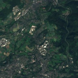
Satellite: Sentinel-2 cloudless 2016 by EOX IT Services GmbH · CC BY 4.0 · Contains modified Copernicus Sentinel data 2016


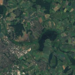
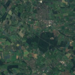
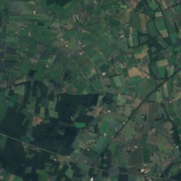
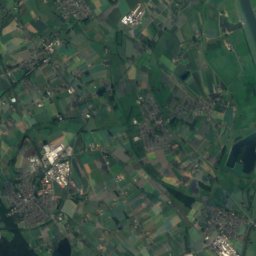
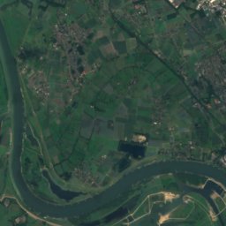
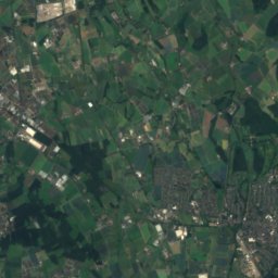
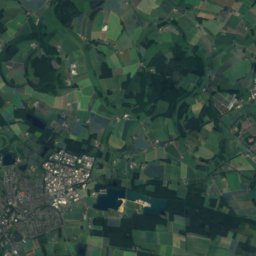
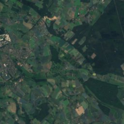
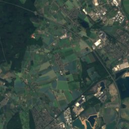
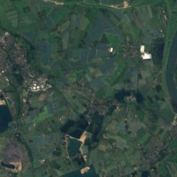
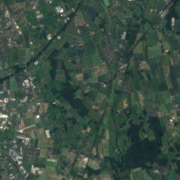
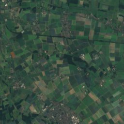
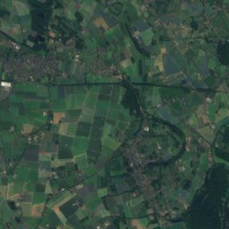
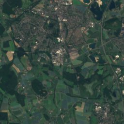
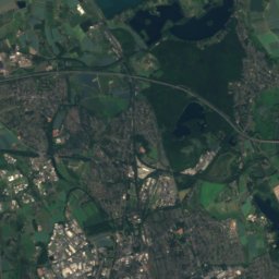
Satellite: Sentinel-2 cloudless 2016 by EOX IT Services GmbH · CC BY 4.0 · Contains modified Copernicus Sentinel data 2016

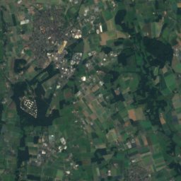
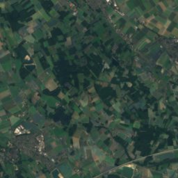
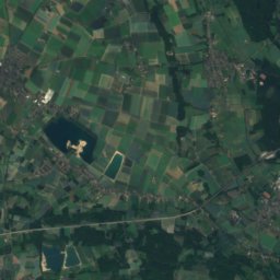
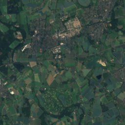
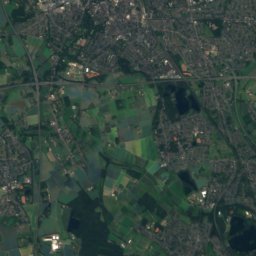
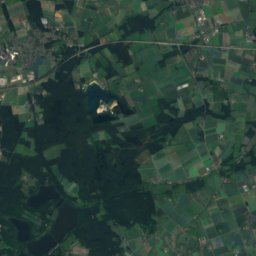
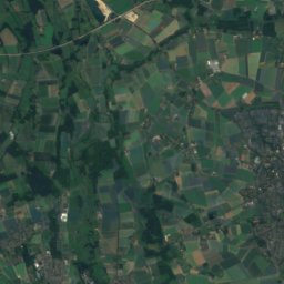
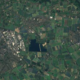
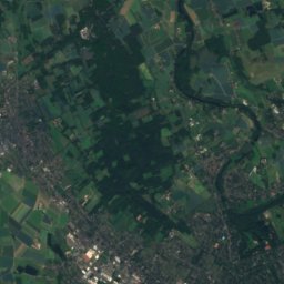
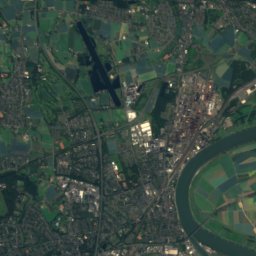
Satellite: Sentinel-2 cloudless 2016 by EOX IT Services GmbH · CC BY 4.0 · Contains modified Copernicus Sentinel data 2016
Stay nearby
Towns close by

Photo: © Steffen Schmitz (Carschten) / Wikimedia Commons / CC BY-SA 4.0 · CC BY-SA 4.0 · Wikimedia CommonsReport this photo · linked, not stored
Moers
North Rhine-Westphalia · 6.5 km NW
15°Oct high
13wet days
48score

Photo: © Raimond Spekking / CC BY-SA 4.0 (via Wikimedia Commons) · CC BY-SA 4.0 · Wikimedia CommonsReport this photo · linked, not stored
Duisburg
North Rhine-Westphalia · 7.1 km NE
15°Oct high
13wet days
48score


Around here
Moers and around
Photo: © Steffen Schmitz (Carschten) / Wikimedia Commons / CC BY-SA 4.0 · CC BY-SA 4.0 · Wikimedia CommonsReport this photo · linked, not stored
Moers
North Rhine-Westphalia · Germany
May · Aug–Sepbest months
25°July high
29 maltitude
Nature

Mountains

Satellite: Sentinel-2 cloudless 2016 by EOX IT Services GmbH · CC BY 4.0 · Contains modified Copernicus Sentinel data 2016
Sandberg, North Rhine-Westphalia
165 m

Heritage

Photo: © Carschten / Wikimedia Commons · CC BY-SA 3.0 de · Wikimedia CommonsReport this photo · linked, not stored
St. Josef (Moers)
architectural heritage monument in North Rhine-Westphalia

Photo: © Steffen Schmitz (Carschten) / Wikimedia Commons / CC BY-SA 3.0 DE or Free Art · CC BY-SA 3.0 de · Wikimedia CommonsReport this photo · linked, not stored
Jüdischer Friedhof, Moers
Kulturdenkmal

Altes Rathaus, Moers
architectural heritage monument in North Rhine-Westphalia
Museums


Satellite: Sentinel-2 cloudless 2016 by EOX IT Services GmbH · CC BY 4.0 · Contains modified Copernicus Sentinel data 2016
Grafschafter Museum im Moerser Schloss

Photo: © Steffen Schmitz (Carschten) / Wikimedia Commons / CC BY-SA 4.0 · CC BY-SA 4.0 · Wikimedia CommonsReport this photo · linked, not stored

German Inland Waterways Museum
1974

Photo: © Raimond Spekking / CC BY-SA 4.0 (via Wikimedia Commons) · CC BY-SA 4.0 · Wikimedia CommonsReport this photo · linked, not stored

Kunstmuseen Krefeld
1897