Skip to content
Destinations
Weather & climate
Nature
Outdoors
Culture
Events
Sky & live
Thune
Photo: Tola69 · CC BY-SA 2.0 de · Wikimedia Commons
ThuneReport this photo · linked, not stored
Lippesee
Photo: Zefram · CC BY 2.5 · Wikimedia Commons
LippeseeReport this photo · linked, not stored
Lippesee
Weckers Heideteich
Photo: Ath · CC0 · Wikimedia Commons
Weckers HeideteichReport this photo · linked, not stored
Weckers Heideteich
Nesthauser See
Photo: T.Toelle · Public domain · Wikimedia Commons
Nesthauser SeeReport this photo · linked, not stored
Nesthauser See
Pader
Photo: A.Savin · FAL · Wikimedia Commons
PaderReport this photo · linked, not stored
Pader
RiverHövelhof, North Rhine-Westphalia

Thune

RiverBest May–Jun · Sep
Elevation–above sea level
Length22 kmsource to mouth
Nearest townHövelhof6.5 km
51.76° N, 8.68° EUTC+1 · Central European Standard Time
When to goHövelhof · weather score
JanFebMarAprMayJunJulAugSepOctNovDec44October
Best timeMay–Jun · Sep
October: high / low14° / 7°
River

Thune in brief

Thune is a river in Hövelhof, North Rhine-Westphalia, Germany.

The nearest town is Hövelhof, 6.5 km to the N, where the weather is best in May, June and September.

Thune is 22 km long.

Hövelhof: weather and travel guide

Weather nearby now

Forecast for Hövelhof
10°
Cloudy now
Wind12 km/h
Humidity97%
Cloud cover100%
Today
28 Oct
13°
6°
Thu
29 Oct
14°
6°
Fri
30 Oct
14°
6°
Sat
31 Oct
12°
7°
Sun
1 Nov
11°
6°

Model run 00:00 UTCRefreshed several times a day

The course of the river

As mapped in OpenStreetMap, with the towns along its banks.
sourcemouth (or where the mapped line leaves the country)
When to go

The best months around Thune

Climate of Hövelhof

Month score in Hövelhof

Comfort, dry days and sunshine · out of 100
Map

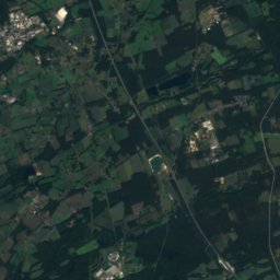
Thune from above

Nature nearbyAll of Germany
Photo: Zefram · CC BY 2.5 · Wikimedia CommonsReport this photo · linked, not stored
LippeseeLake0.8 kmSWLippesee
Photo: Ath · CC0 · Wikimedia CommonsReport this photo · linked, not stored
Weckers HeideteichLake1.4 kmNWeckers Heideteich
Photo: T.Toelle · Public domain · Wikimedia CommonsReport this photo · linked, not stored
Nesthauser SeeLake1.5 kmSNesthauser See
Photo: A.Savin · FAL · Wikimedia CommonsReport this photo · linked, not stored
PaderRiver2.2 kmSEPader
Photo: A.Savin · FAL · Wikimedia CommonsReport this photo · linked, not stored
Warme PaderRiver4.3 kmSEWarme Pader
Photo: © Freak-Line-Community / Wikimedia Commons · CC BY-SA 3.0 · Wikimedia CommonsReport this photo · linked, not stored
RothobornpaderRiver4.3 kmSERothobornpader
Summits nearbyMountains of Germany
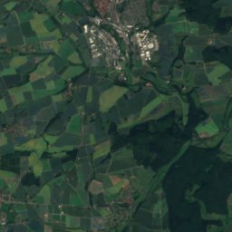
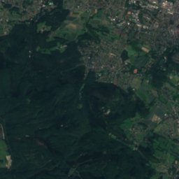
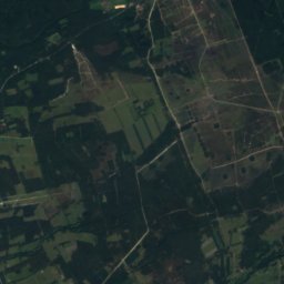
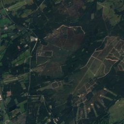
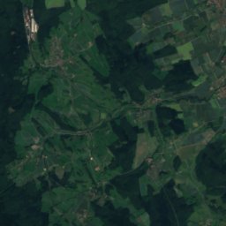
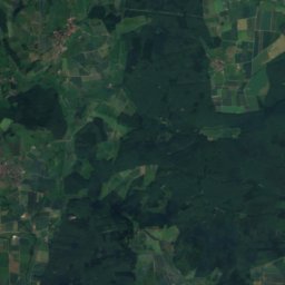
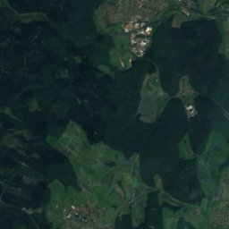
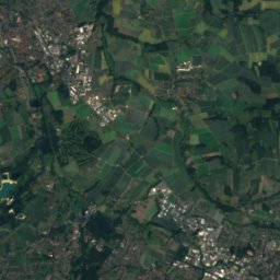
Satellite: Sentinel-2 cloudless 2016 by EOX IT Services GmbH · CC BY 4.0 · Contains modified Copernicus Sentinel data 2016
Preußische Velmerstot20 km NE468 mJuly 22°Preußische Velmerstot
Photo: User:Mada · CC BY-SA 2.5 · Wikimedia CommonsReport this photo · linked, not stored
Velmerstot20 km NE464 mJuly 22°Velmerstot
Photo: Jörg Braukmann · CC BY-SA 3.0 · Wikimedia CommonsReport this photo · linked, not stored
Barnacken18 km NE446 mJuly 22°Barnacken
Photo: Tsungam · CC BY-SA 4.0 · Wikimedia CommonsReport this photo · linked, not stored
Lippische Velmerstot21 km NE441 mJuly 22°Lippische Velmerstot
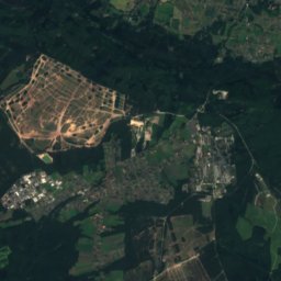
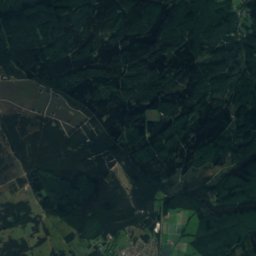
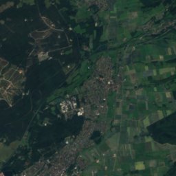
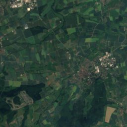
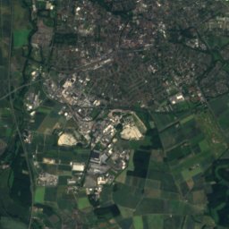
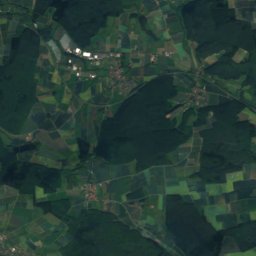
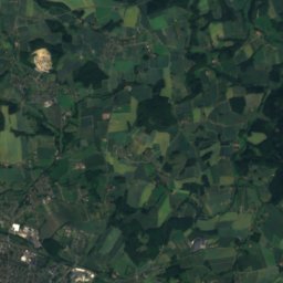
Satellite: Sentinel-2 cloudless 2016 by EOX IT Services GmbH · CC BY 4.0 · Contains modified Copernicus Sentinel data 2016
Hausheide21 km E441 mJuly 22°Hausheide
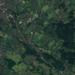
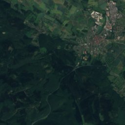
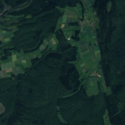
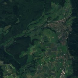
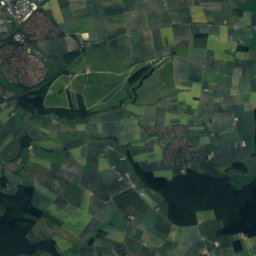
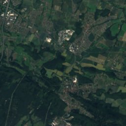
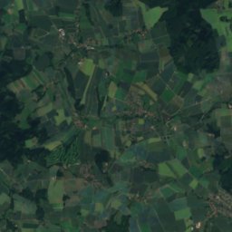
Satellite: Sentinel-2 cloudless 2016 by EOX IT Services GmbH · CC BY 4.0 · Contains modified Copernicus Sentinel data 2016
Stemberg19 km NE402 mJuly 22°Stemberg
Stay nearby

Towns close by

Hövelhof
Photo: ludger1961 · CC BY-SA 3.0 · Wikimedia CommonsReport this photo · linked, not stored

Hövelhof

North Rhine-Westphalia · 6.5 km N
14°Oct high
12wet days
44score
Hövelhof
Paderborn
Photo: A.Savin · FAL · Wikimedia CommonsReport this photo · linked, not stored

Paderborn

North Rhine-Westphalia · 6.8 km SE
14°Oct high
12wet days
42score
Paderborn
Delbrück
Photo: selbst · Public domain · Wikimedia CommonsReport this photo · linked, not stored

Delbrück

North Rhine-Westphalia · 8.4 km W
14°Oct high
12wet days
44score
Delbrück
Bad Lippspringe
Photo: Photo by Gmoeller · CC BY 1.0 · Wikimedia CommonsReport this photo · linked, not stored

Bad Lippspringe

North Rhine-Westphalia · 9.4 km E
14°Oct high
12wet days
42score
Bad Lippspringe
Around here

Hövelhof and around

Hövelhof
Photo: ludger1961 · CC BY-SA 3.0 · Wikimedia CommonsReport this photo · linked, not stored

Hövelhof

North Rhine-Westphalia · Germany
May–Jun · Sepbest months
24°July high
101 maltitude
Hövelhof

Nature

Pader
Photo: A.Savin · FAL · Wikimedia CommonsReport this photo · linked, not stored
8.5 km SE

Pader

River · 104 m
Pader
Beke, North Rhine-Westphalia
Photo: bdk · CC BY-SA 3.0 · Wikimedia CommonsReport this photo · linked, not stored
10 km SE

Beke, North Rhine-Westphalia

River · 121 m
Beke, North Rhine-Westphalia
Krollbach
Photo: Athde · Public domain · Wikimedia CommonsReport this photo · linked, not stored
5.5 km SW

Krollbach

River
Krollbach

Mountains

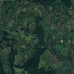
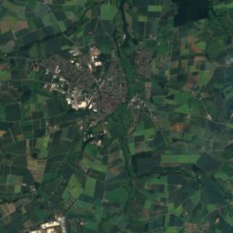
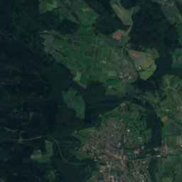
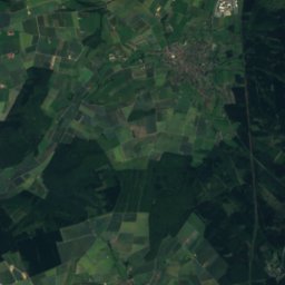
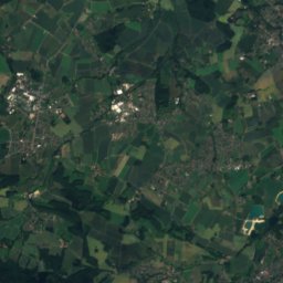
Satellite: Sentinel-2 cloudless 2016 by EOX IT Services GmbH · CC BY 4.0 · Contains modified Copernicus Sentinel data 2016
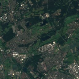
21 km E

Preußische Velmerstot

468 m
Preußische Velmerstot
Velmerstot
Photo: User:Mada · CC BY-SA 2.5 · Wikimedia CommonsReport this photo · linked, not stored
21 km E

Velmerstot

464 m · Eggegebirge
Velmerstot
Barnacken
Photo: Jörg Braukmann · CC BY-SA 3.0 · Wikimedia CommonsReport this photo · linked, not stored
18 km E

Barnacken

446 m · Teutoburg Forest
Barnacken

Heritage

Jagdschloss Hövelhof
Photo: Athde · CC0 · Wikimedia CommonsReport this photo · linked, not stored
0.7 km NE

Jagdschloss Hövelhof

architectural heritage monument in North Rhine-Westphalia
Jagdschloss Hövelhof
St. Johannes Nepomuk, Hövelhof
Photo: Athde · CC0 · Wikimedia CommonsReport this photo · linked, not stored
0.8 km NE

St. Johannes Nepomuk, Hövelhof

architectural heritage monument in North Rhine-Westphalia
St. Johannes Nepomuk, Hövelhof
Paderborn Cathedral
Photo: A.Savin · FAL · Wikimedia CommonsReport this photo · linked, not stored
13 km SE

Paderborn Cathedral

architectural heritage monument in North Rhine-Westphalia · 1270
Paderborn Cathedral

Museums

Heinz Nixdorf MuseumsForum
Photo: Bc4040 · CC BY-SA 4.0 · Wikimedia CommonsReport this photo · linked, not stored
11 km SE

Heinz Nixdorf MuseumsForum

Computer museum · 1996
Heinz Nixdorf MuseumsForum
Kaiserpfalzen in Paderborn
Photo: A.Savin · FAL · Wikimedia CommonsReport this photo · linked, not stored
13 km SE

Kaiserpfalzen in Paderborn

Kaiserpfalzen in Paderborn
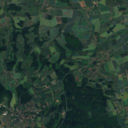
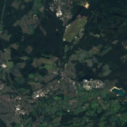
Satellite: Sentinel-2 cloudless 2016 by EOX IT Services GmbH · CC BY 4.0 · Contains modified Copernicus Sentinel data 2016
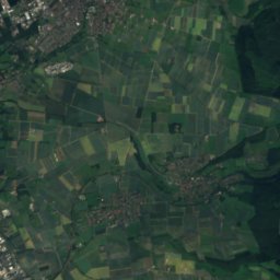
15 km N

Archäologisches Freilichtmuseum Oerlinghausen

Open-air museum · 1936
Archäologisches Freilichtmuseum Oerlinghausen