Skip to content
Destinations
Weather & climate
Nature
Outdoors
Culture
Events
Sky & live
Tarnitz
Photo: Chris Recken · CC BY-SA 4.0 · Wikimedia Commons
TarnitzReport this photo · linked, not stored
Meynbach
Photo: Botaurus stellaris · Public domain · Wikimedia Commons
MeynbachReport this photo · linked, not stored
Meynbach
Rambower Moor
Photo: Christian Fischer · CC BY-SA 3.0 · Wikimedia Commons
Rambower MoorReport this photo · linked, not stored
Rambower Moor
Brenzer Kanal
Photo: Niteshift (talk) · CC BY 2.5 · Wikimedia Commons
Brenzer KanalReport this photo · linked, not stored
Brenzer Kanal
Wein-Berg
Photo: Yoursmile · CC0 · Wikimedia Commons
Wein-BergReport this photo · linked, not stored
Wein-Berg
RiverDambeck, Mecklenburg-Vorpommern

Tarnitz

RiverBest May–Jun · Sep
Elevation–above sea level
Length14 kmsource to mouth
Nearest townDambeck3.7 km
53.22° N, 11.73° EUTC+1 · Central European Standard Time
When to goDambeck · weather score
JanFebMarAprMayJunJulAugSepOctNovDec43October
Best timeMay–Jun · Sep
October: high / low14° / 6°
River

Tarnitz in brief

Tarnitz is a river in Dambeck, Mecklenburg-Vorpommern, Germany.

The nearest town is Dambeck, 3.7 km to the NE, where the weather is best in May, June and September.

Tarnitz is 14 km long.

Dambeck: weather and travel guide

Weather nearby now

Forecast for Dambeck
12°
Cloudy now
Wind23 km/h
Humidity70%
Cloud cover92%
Today
26 Oct
13°
6°
Tue
27 Oct
16°
8°
Wed
28 Oct
15°
7°
1 mm
Thu
29 Oct
13°
7°
2 mm
Fri
30 Oct
13°
4°

Model run 12:00 UTCRefreshed several times a day

When to go

The best months around Tarnitz

Climate of Dambeck

Month score in Dambeck

Comfort, dry days and sunshine · out of 100
15
Jan
22
Feb
27
Mar
57
Apr
70
May
66
Jun
64
Jul
65
Aug
71
Sep
43
Oct
18
Nov
14
Dec
Map

Tarnitz from above

Nature nearbyAll of Germany
Photo: Botaurus stellaris · Public domain · Wikimedia CommonsReport this photo · linked, not stored
MeynbachRiver5.5 kmNWMeynbach
Photo: Christian Fischer · CC BY-SA 3.0 · Wikimedia CommonsReport this photo · linked, not stored
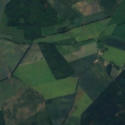
Rambower MoorLake12 kmSWRambower Moor
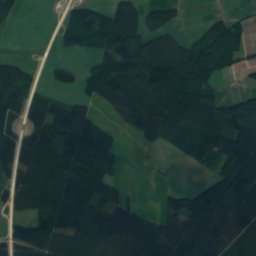
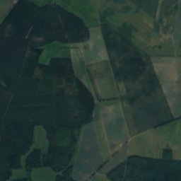
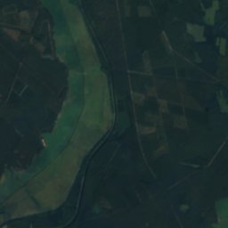
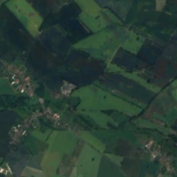
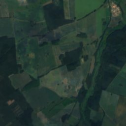
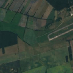
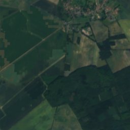
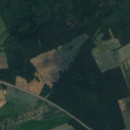
Satellite: Sentinel-2 cloudless 2016 by EOX IT Services GmbH · CC BY 4.0 · Contains modified Copernicus Sentinel data 2016
DrögeseeLake14 kmNWDrögesee
Photo: Niteshift (talk) · CC BY 2.5 · Wikimedia CommonsReport this photo · linked, not stored
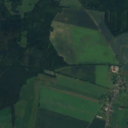
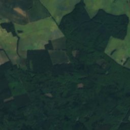
Brenzer KanalRiver17 kmNWBrenzer Kanal
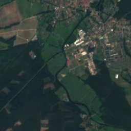
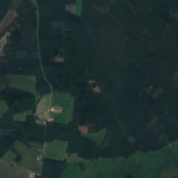
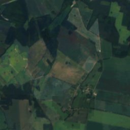
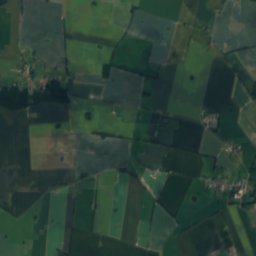
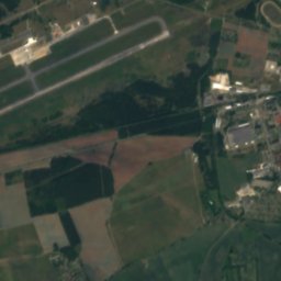
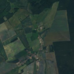
Satellite: Sentinel-2 cloudless 2016 by EOX IT Services GmbH · CC BY 4.0 · Contains modified Copernicus Sentinel data 2016
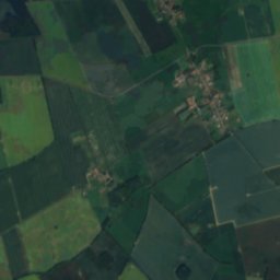
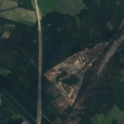
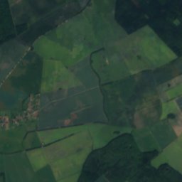
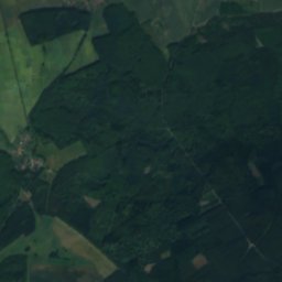
SchlatbachRiver17 kmSESchlatbach
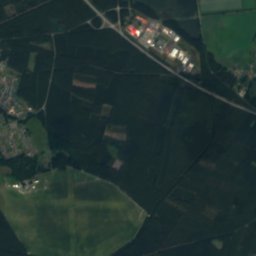
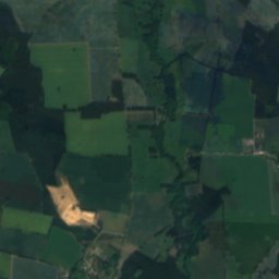
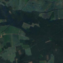
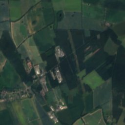
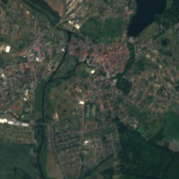
Satellite: Sentinel-2 cloudless 2016 by EOX IT Services GmbH · CC BY 4.0 · Contains modified Copernicus Sentinel data 2016
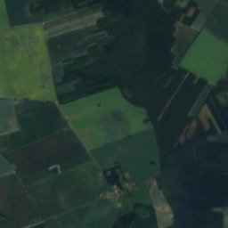
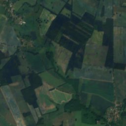
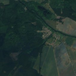
Roter Bach (Slate)River18 kmNRoter Bach (Slate)
Summits nearbyMountains of Germany
Photo: Yoursmile · CC0 · Wikimedia CommonsReport this photo · linked, not stored
Wein-Berg16 km SE83 mJuly 25°Wein-Berg
Stay nearby

Towns close by

Dambeck
Photo: Niteshift (talk) · CC BY 3.0 · Wikimedia CommonsReport this photo · linked, not stored

Dambeck

Mecklenburg-Vorpommern · 3.7 km NE
14°Oct high
12wet days
43score
Dambeck
Balow
Photo: Niteshift · CC BY 3.0 · Wikimedia CommonsReport this photo · linked, not stored

Balow

Mecklenburg-Vorpommern · 5.3 km N
14°Oct high
12wet days
43score
Balow
Karstädt
Photo: OtoF · CC BY-SA 3.0 · Wikimedia CommonsReport this photo · linked, not stored

Karstädt

Brandenburg · 6.4 km S
14°Oct high
12wet days
44score
Karstädt
Brunow
Photo: Niteshift (talk) · CC BY 3.0 · Wikimedia CommonsReport this photo · linked, not stored

Brunow

Mecklenburg-Vorpommern · 7.3 km NE
14°Oct high
12wet days
43score
Brunow
Around here

Dambeck and around

Dambeck
Photo: Niteshift (talk) · CC BY 3.0 · Wikimedia CommonsReport this photo · linked, not stored

Dambeck

Mecklenburg-Vorpommern · Germany
May–Jun · Sepbest months
25°July high
35 maltitude
Dambeck

Nature

Meynbach
Photo: Botaurus stellaris · Public domain · Wikimedia CommonsReport this photo · linked, not stored
7.7 km W

Meynbach

River
Meynbach
Neustädter See, Mecklenburg-Vorpommern
Photo: Niteshift (talk) · Public domain · Wikimedia CommonsReport this photo · linked, not stored
21 km NW

Neustädter See, Mecklenburg-Vorpommern

Lake · 33 m
Neustädter See, Mecklenburg-Vorpommern
Neuhöfer Karpfenteiche
Photo: Niteshift (talk) · CC BY 3.0 · Wikimedia CommonsReport this photo · linked, not stored
22 km NW

Neuhöfer Karpfenteiche

Lake · 32 m
Neuhöfer Karpfenteiche

Mountains

Wein-Berg
Photo: Yoursmile · CC0 · Wikimedia CommonsReport this photo · linked, not stored
17 km SE

Wein-Berg

83 m
Wein-Berg

Heritage

Karstädt railway station
Photo: OtoF · CC BY-SA 3.0 · Wikimedia CommonsReport this photo · linked, not stored
9.4 km S

Karstädt railway station

architectural heritage monument · 1853
Karstädt railway station
Groß Warnow village church
Photo: KK Prignitz · CC BY-SA 4.0 · Wikimedia CommonsReport this photo · linked, not stored
9.5 km W

Groß Warnow village church

architectural heritage monument in Brandenburg · 1400
Groß Warnow village church
Grabow (Meckl) railway station
Photo: Global Fish · CC BY-SA 3.0 · Wikimedia CommonsReport this photo · linked, not stored
14 km W

Grabow (Meckl) railway station

architectural heritage monument in Mecklenburg-Vorpommern
Grabow (Meckl) railway station

Museums

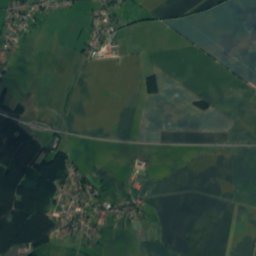
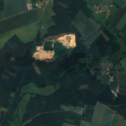
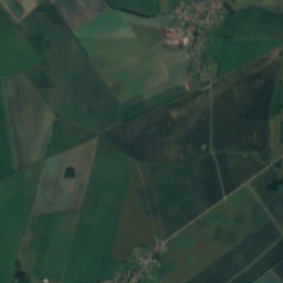
Satellite: Sentinel-2 cloudless 2016 by EOX IT Services GmbH · CC BY 4.0 · Contains modified Copernicus Sentinel data 2016
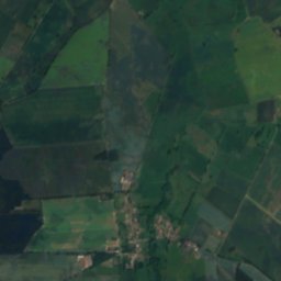
9.4 km S

Pfarrhausmuseum Blüthen

Pfarrhausmuseum Blüthen
Satellite: Sentinel-2 cloudless 2016 by EOX IT Services GmbH · CC BY 4.0 · Contains modified Copernicus Sentinel data 2016
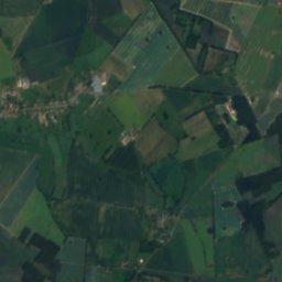
14 km W

Heimatmuseum Grabow

Heimatmuseum Grabow