
Photo: Frank Vincentz · CC BY-SA 3.0 · Wikimedia Commons
StrundeReport this photo · linked, not stored
StrundeReport this photo · linked, not stored

Photo: Travus (talk) 11:04, 10 June 2012 (UTC) · CC BY-SA 3.0 · Wikimedia Commons
FlehbachReport this photo · linked, not stored
FlehbachFlehbachReport this photo · linked, not stored

Photo: Horsch, Willy · CC BY 2.5 · Wikimedia Commons
DuffesbachReport this photo · linked, not stored
DuffesbachDuffesbachReport this photo · linked, not stored

Photo: A.Savin · CC BY-SA 3.0 · Wikimedia Commons
Höhenfelder SeeReport this photo · linked, not stored
Höhenfelder SeeHöhenfelder SeeReport this photo · linked, not stored

Photo: Frank Vincentz · CC BY-SA 3.0 · Wikimedia Commons
Saaler MühlenbachReport this photo · linked, not stored
Saaler MühlenbachSaaler MühlenbachReport this photo · linked, not stored
RiverCologne, North Rhine-Westphalia
Strunde
RiverBest Jul–Sep
Elevation–above sea level
Length19 kmsource to mouth
Nearest townCologne5.3 km
50.95° N, 7.02° EUTC+2 · Central European Summer Time
When to goCologne · weather score
Best timeJul–Sep
October: high / low15° / 8°
River
Strunde in brief
Strunde is a river in Cologne, North Rhine-Westphalia, Germany.
The nearest town in the atlas is Cologne, 5.3 km to the SW, where the weather is best in July, August and September.
Strunde is 19 km long.
Weather nearby now
Forecast for Cologne13°
Sunny now
Today
22 Oct
13°
7°
2 mm
Fri
23 Oct
15°
9°
6 mm
Sat
24 Oct
13°
7°
7 mm
Sun
25 Oct
15°
9°
21 mm
Mon
26 Oct
13°
8°
4 mm
Model run 00:00 UTCRefreshed several times a day
Map
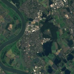
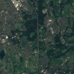
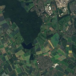
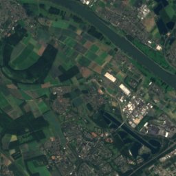
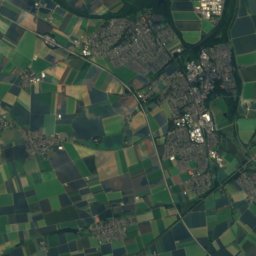
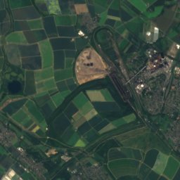
Strunde from above
Nature nearbyAll of Germany

Photo: Travus (talk) 11:04, 10 June 2012 (UTC) · CC BY-SA 3.0 · Wikimedia CommonsReport this photo · linked, not stored


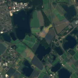
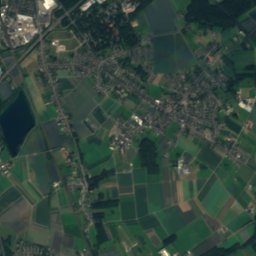
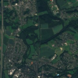
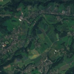
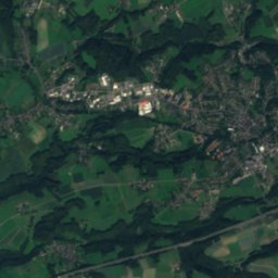
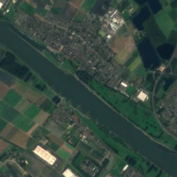
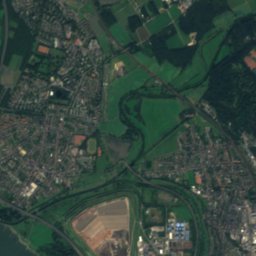
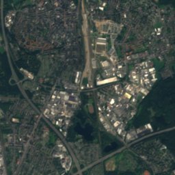
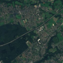
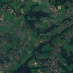
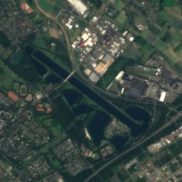
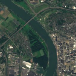
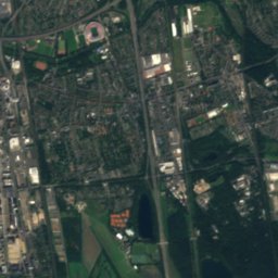
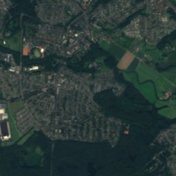
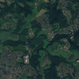
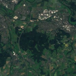
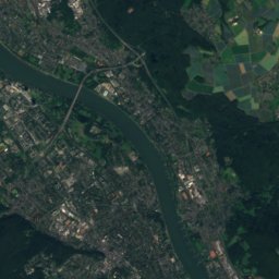
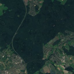
Satellite: Sentinel-2 cloudless 2016 by EOX IT Services GmbH · CC BY 4.0 · Contains modified Copernicus Sentinel data 2016

Summits nearbyMountains of Germany
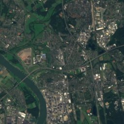
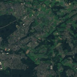
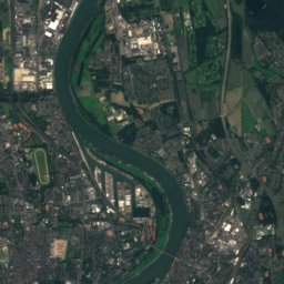
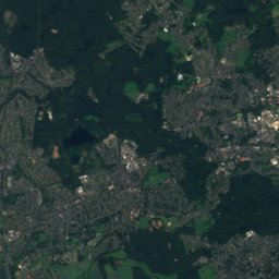
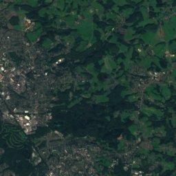
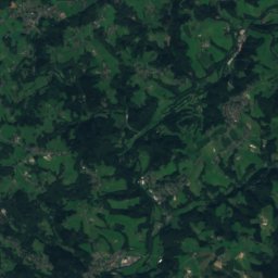
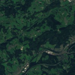
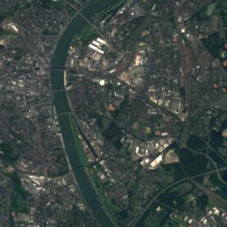
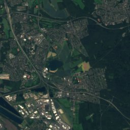
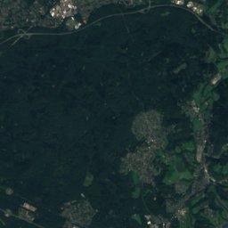
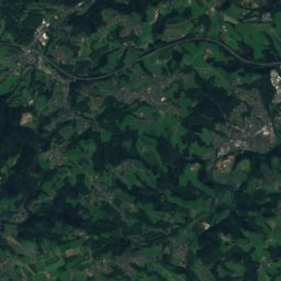
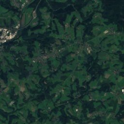
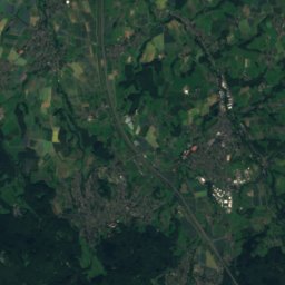
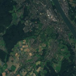
Satellite: Sentinel-2 cloudless 2016 by EOX IT Services GmbH · CC BY 4.0 · Contains modified Copernicus Sentinel data 2016
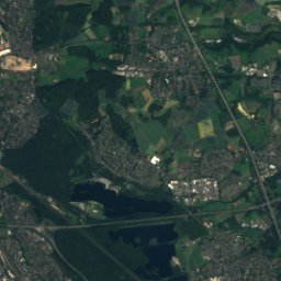
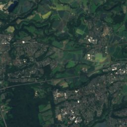
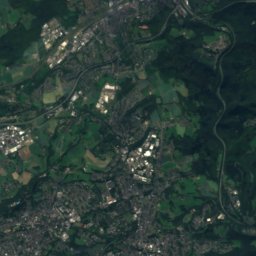
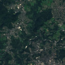
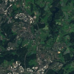
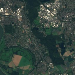
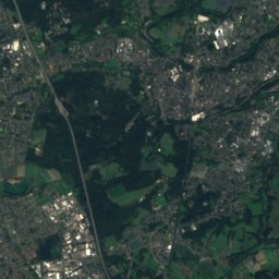
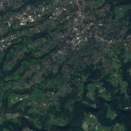
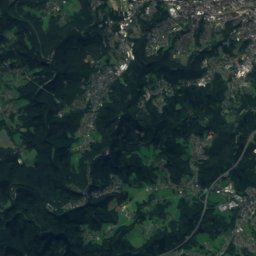
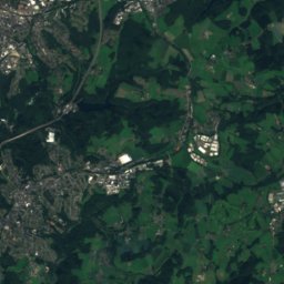
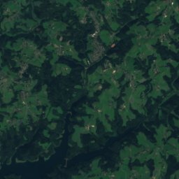
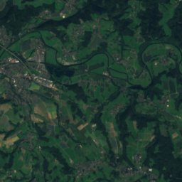
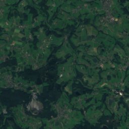
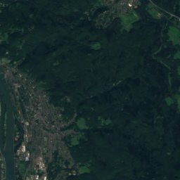
Satellite: Sentinel-2 cloudless 2016 by EOX IT Services GmbH · CC BY 4.0 · Contains modified Copernicus Sentinel data 2016
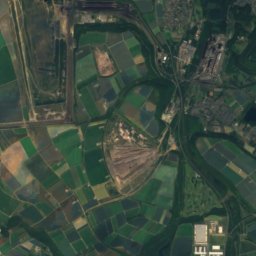
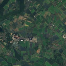
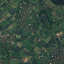
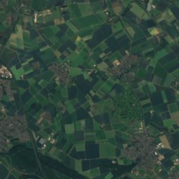
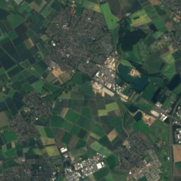
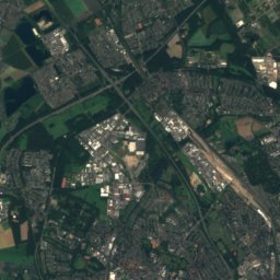
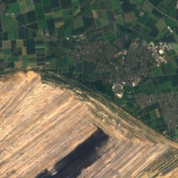
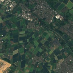
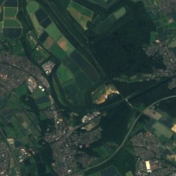
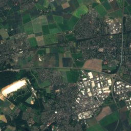
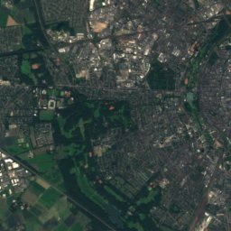
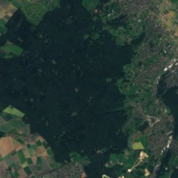
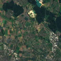
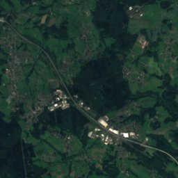
Satellite: Sentinel-2 cloudless 2016 by EOX IT Services GmbH · CC BY 4.0 · Contains modified Copernicus Sentinel data 2016
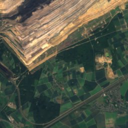
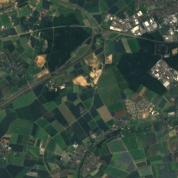
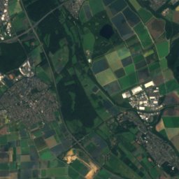
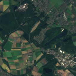
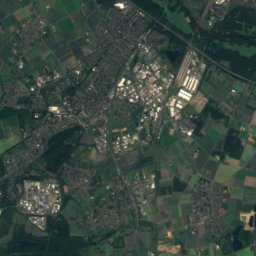
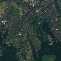
Satellite: Sentinel-2 cloudless 2016 by EOX IT Services GmbH · CC BY 4.0 · Contains modified Copernicus Sentinel data 2016


Stay nearby
Towns close by

Photo: Thomas Wolf, www.foto-tw.de · CC BY-SA 3.0 de · Wikimedia CommonsReport this photo · linked, not stored
Cologne
North Rhine-Westphalia · 5.3 km SW
15°Oct high
13wet days
49score


Around here
Cologne and around
Photo: Thomas Wolf, www.foto-tw.de · CC BY-SA 3.0 de · Wikimedia CommonsReport this photo · linked, not stored
Cologne
North Rhine-Westphalia · Germany
Jul–Sepbest months
25°July high
58 maltitude
Nature

Photo: © El Grafo / CC-BY-SA-3.0 (via Wikimedia Commons) · CC BY-SA 3.0 · Wikimedia CommonsReport this photo · linked, not stored
Fühlingen Lake
Lake · 36 m
Photo: Travus (talk) 11:04, 10 June 2012 (UTC) · CC BY-SA 3.0 · Wikimedia CommonsReport this photo · linked, not stored
Flehbach
River · 53 m

Mountains

Photo: Tohma (talk) / Loreley007 · Public domain · Wikimedia CommonsReport this photo · linked, not stored
Großer Ölberg
461 m · Siebengebirge

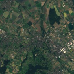
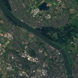
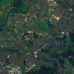
Heritage

Photo: Thomas Wolf, www.foto-tw.de · CC BY-SA 3.0 de · Wikimedia CommonsReport this photo · linked, not stored
Cologne Cathedral
World Heritage Site · 1248

Hohenzollern Bridge
architectural heritage monument in North Rhine-Westphalia · 1911

St. Maria im Kapitol
architectural heritage monument in North Rhine-Westphalia · 1100
Museums


Photo: Hans Peter Schaefer - http://www.reserv-a-rt.de · CC BY-SA 3.0 · Wikimedia CommonsReport this photo · linked, not stored

Wallraf–Richartz Museum
Art museum · 1824

Photo: © Raimond Spekking / CC BY-SA 4.0 (via Wikimedia Commons) · CC BY-SA 4.0 · Wikimedia CommonsReport this photo · linked, not stored

Romano-Germanic Museum
1946