Skip to content
Destinations
Weather & climate
Nature
Outdoors
Culture
Events
Sky & live
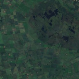
Strothe
Photo: Baupohl · CC BY-SA 4.0 · Wikimedia Commons
StrotheReport this photo · linked, not stored
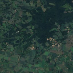
Wätering
Photo: Corradox · CC BY-SA 4.0 · Wikimedia Commons
WäteringReport this photo · linked, not stored
Wätering
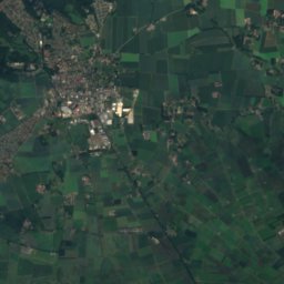
Grawiede
Photo: Baupohl · CC BY-SA 4.0 · Wikimedia Commons
GrawiedeReport this photo · linked, not stored
Grawiede
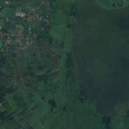
Dümmer
Photo: Ro fio · CC BY-SA 3.0 · Wikimedia Commons
DümmerReport this photo · linked, not stored
Dümmer
Dadau
Photo: Corradox · CC BY-SA 3.0 · Wikimedia Commons
DadauReport this photo · linked, not stored
Dadau
RiverDiepholz, Lower Saxony

Strothe

RiverBest May–Jun · Sep
Elevation–above sea level
Length3.7 kmsource to mouth
Nearest townDiepholz2.0 km
52.59° N, 8.38° EUTC+2 · Central European Summer Time
When to goDiepholz · weather score
JanFebMarAprMayJunJulAugSepOctNovDec42October
Best timeMay–Jun · Sep
October: high / low14° / 6°
River

Strothe in brief

Strothe is a river in Diepholz, Lower Saxony, Germany.

The nearest town is Diepholz, 2.0 km to the N, where the weather is best in May, June and September.

Strothe is 3.7 km long.

Diepholz: weather and travel guide

Weather nearby now

Forecast for Diepholz
9°
Cloudy now
Wind27 km/h
Humidity96%
Cloud cover100%
Today
24 Oct
12°
7°
5 mm
Sun
25 Oct
13°
7°
16 mm
Mon
26 Oct
13°
7°
4 mm
Tue
27 Oct
17°
9°
2 mm
Wed
28 Oct
14°
7°
1 mm

Model run 12:00 UTCRefreshed several times a day

The course of the river

As mapped in OpenStreetMap, with the towns along its banks.
1
  1. 1Diepholz40 m
sourcemouth (or where the mapped line leaves the country)
When to go

The best months around Strothe

Climate of Diepholz

Month score in Diepholz

Comfort, dry days and sunshine · out of 100
14
Jan
21
Feb
23
Mar
55
Apr
69
May
65
Jun
64
Jul
64
Aug
66
Sep
42
Oct
15
Nov
13
Dec
Map

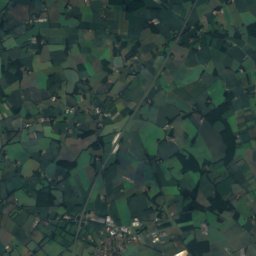
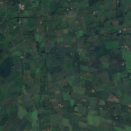
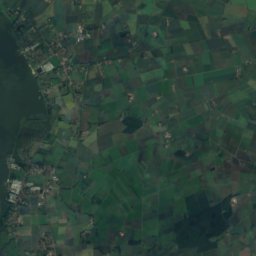
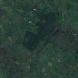
Strothe from above

Nature nearbyAll of Germany
Photo: Corradox · CC BY-SA 4.0 · Wikimedia CommonsReport this photo · linked, not stored
WäteringRiver1.4 kmWWätering
Photo: Baupohl · CC BY-SA 4.0 · Wikimedia CommonsReport this photo · linked, not stored
GrawiedeRiver5.6 kmNGrawiede
Photo: Ro fio · CC BY-SA 3.0 · Wikimedia CommonsReport this photo · linked, not stored
DümmerLake10 kmSDümmer
Photo: Corradox · CC BY-SA 3.0 · Wikimedia CommonsReport this photo · linked, not stored
DadauRiver10 kmNEDadau
Photo: Scolium · Public domain · Wikimedia CommonsReport this photo · linked, not stored
Wagenfelder AueRiver15 kmNEWagenfelder Aue
Photo: Kiwi05 · CC BY-SA 4.0 · Wikimedia CommonsReport this photo · linked, not stored
WickriedeRiver23 kmEWickriede
Summits nearbyMountains of Germany
Photo: Perrin Okenwald · Public domain · Wikimedia CommonsReport this photo · linked, not stored
Kollwesshöh18 km S181 mJuly 24°Kollwesshöh
Photo: Markus.lueers · CC BY-SA 4.0 · Wikimedia CommonsReport this photo · linked, not stored
Signalberg (Damme)12 km W146 mJuly 23°Signalberg (Damme)
Photo: Kokp18 · CC BY-SA 3.0 · Wikimedia CommonsReport this photo · linked, not stored
Dielinger Klei17 km S92 mJuly 24°Dielinger Klei
Stay nearby

Towns close by
Diepholz
Photo: Kiwi05 · CC BY-SA 3.0 · Wikimedia CommonsReport this photo · linked, not stored

Diepholz

Lower Saxony · 2.0 km N
14°Oct high
13wet days
42score
Diepholz
Wetschen
Photo: Günther Leineweber · Public domain · Wikimedia CommonsReport this photo · linked, not stored

Wetschen

Lower Saxony · 5.5 km NE
14°Oct high
13wet days
42score
Wetschen
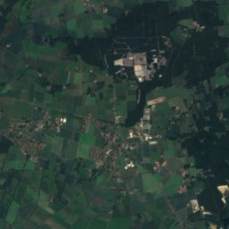
Satellite: Sentinel-2 cloudless 2016 by EOX IT Services GmbH · CC BY 4.0 · Contains modified Copernicus Sentinel data 2016

Lembruch

Lower Saxony · 7.2 km S
14°Oct high
13wet days
42score
Lembruch
Rehden
Photo: Günther Leineweber · Public domain · Wikimedia CommonsReport this photo · linked, not stored

Rehden

Lower Saxony · 7.4 km E
14°Oct high
13wet days
42score
Rehden
Around here

Diepholz and around

Diepholz
Photo: Kiwi05 · CC BY-SA 3.0 · Wikimedia CommonsReport this photo · linked, not stored

Diepholz

Lower Saxony · Germany
May–Jun · Sepbest months
24°July high
40 maltitude
Diepholz

Nature

Dümmer
Photo: Ro fio · CC BY-SA 3.0 · Wikimedia CommonsReport this photo · linked, not stored
12 km S

Dümmer

Lake · 37 m
Dümmer
Dadau
Photo: Corradox · CC BY-SA 3.0 · Wikimedia CommonsReport this photo · linked, not stored
9.2 km NE

Dadau

River · 31 m
Dadau
Wätering
Photo: Corradox · CC BY-SA 4.0 · Wikimedia CommonsReport this photo · linked, not stored
2.2 km SW

Wätering

River
Wätering

Mountains

Heidbrink
Photo: FalkOberdorf · CC BY-SA 3.0 · Wikimedia CommonsReport this photo · linked, not stored
39 km SE

Heidbrink

320 m · Wiehen Hills
Heidbrink
Wurzelbrink
Photo: FalkOberdorf · CC BY-SA 3.0 · Wikimedia CommonsReport this photo · linked, not stored
40 km SE

Wurzelbrink

318 m · Wiehen Hills
Wurzelbrink
Kniebrink
Photo: Arminia1 · Public domain · Wikimedia CommonsReport this photo · linked, not stored
40 km SE

Kniebrink

315 m · Wiehen Hills
Kniebrink

Heritage

St. Nicolaikirche, Diepholz
Photo: Anaconda74 · Public domain · Wikimedia CommonsReport this photo · linked, not stored
0.2 km S

St. Nicolaikirche, Diepholz

cultural heritage monument in Lower Saxony
St. Nicolaikirche, Diepholz
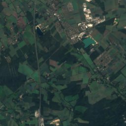
Satellite: Sentinel-2 cloudless 2016 by EOX IT Services GmbH · CC BY 4.0 · Contains modified Copernicus Sentinel data 2016
0.7 km E

Diepholz railway station

cultural heritage monument in Lower Saxony
Diepholz railway station
Altes Rathaus Diepholz
Photo: Corradox · CC BY-SA 3.0 · Wikimedia CommonsReport this photo · linked, not stored
under 100 m N

Altes Rathaus Diepholz

cultural heritage monument in Lower Saxony
Altes Rathaus Diepholz

Museums

Technikmuseum Diepholz-Heede
Photo: Ralf Pfeifer (Diskussion) 08:24, 20. Apr. 2019 (CEST) · CC BY-SA 3.0 de · Wikimedia CommonsReport this photo · linked, not stored
1.9 km NE

Technikmuseum Diepholz-Heede

Technikmuseum Diepholz-Heede
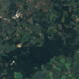
Satellite: Sentinel-2 cloudless 2016 by EOX IT Services GmbH · CC BY 4.0 · Contains modified Copernicus Sentinel data 2016
0.4 km S

Museum im Schlossturm

Museum im Schlossturm
Heimatmuseum Aschen
Photo: Corradox · CC BY-SA 3.0 · Wikimedia CommonsReport this photo · linked, not stored
5.0 km N

Heimatmuseum Aschen

Local museum
Heimatmuseum Aschen