Skip to content
Destinations
Weather & climate
Nature
Outdoors
Culture
Events
Sky & live
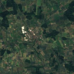
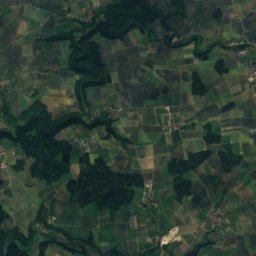
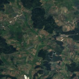
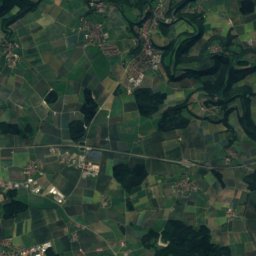
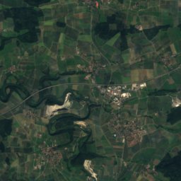
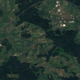
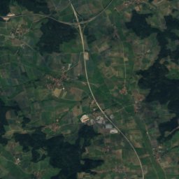
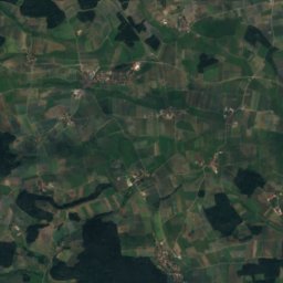
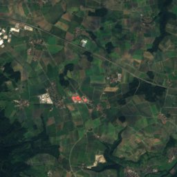
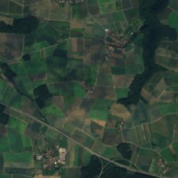
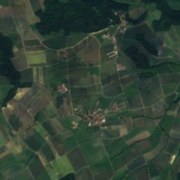
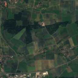
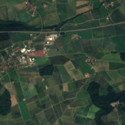
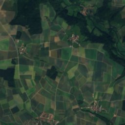
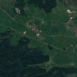
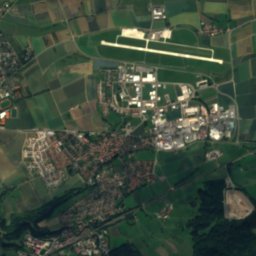
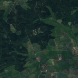
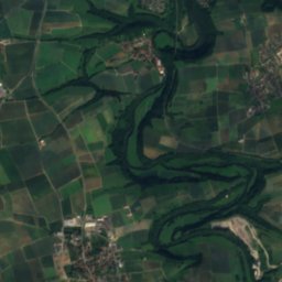
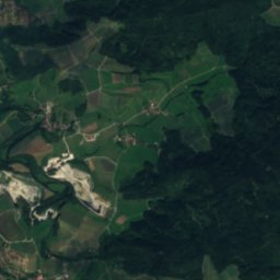
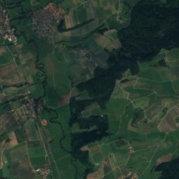
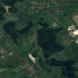
Satellite: Sentinel-2 cloudless 2016 by EOX IT Services GmbH · CC BY 4.0 · Contains modified Copernicus Sentinel data 2016
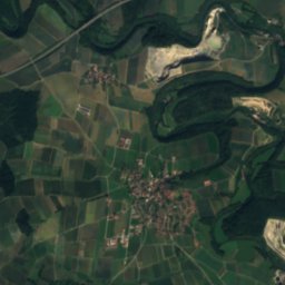
Lanzenbach
Photo: Brtlwr1 · CC BY-SA 3.0 · Wikimedia Commons
LanzenbachReport this photo · linked, not stored
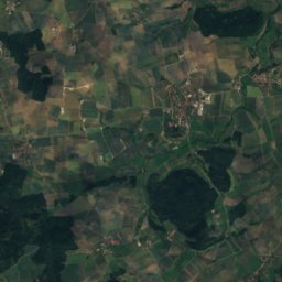
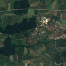
Lanzenbach
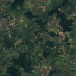
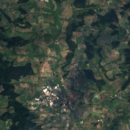
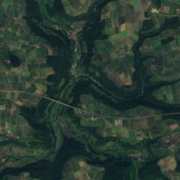
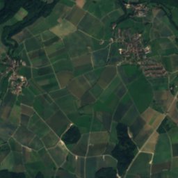
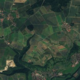
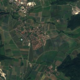
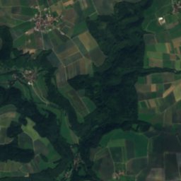
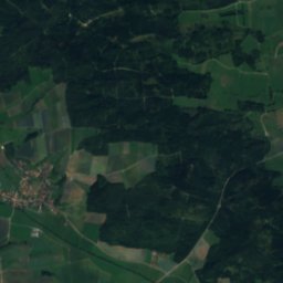
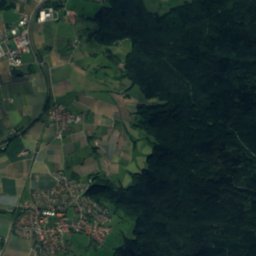
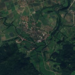
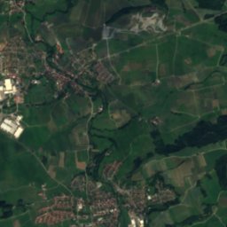
Schmerach
Photo: Bernd Haynold · CC BY-SA 3.0 · Wikimedia Commons
SchmerachReport this photo · linked, not stored
Schmerach
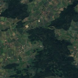
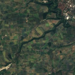
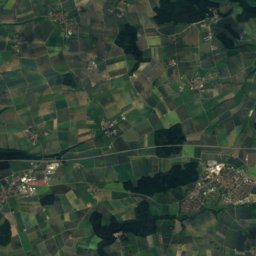
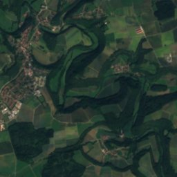
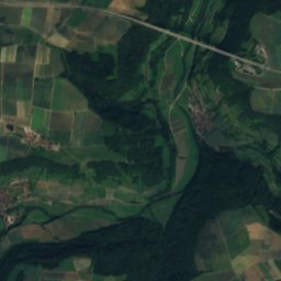
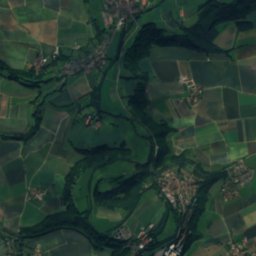
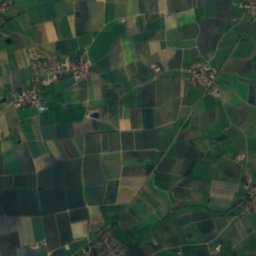
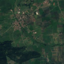
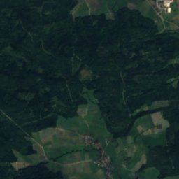
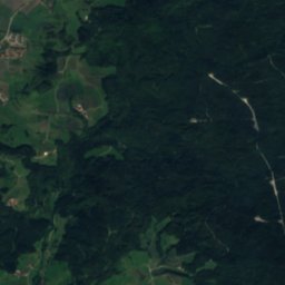
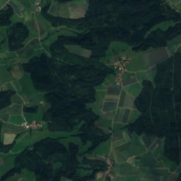
Nesselbach (Bühler)
Photo: Brtlwr2 (talk) · CC0 · Wikimedia Commons
Nesselbach (Bühler)Report this photo · linked, not stored
Nesselbach (Bühler)
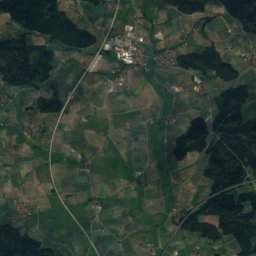
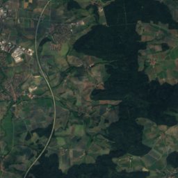
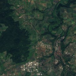
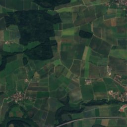
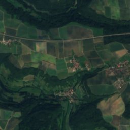
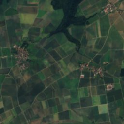
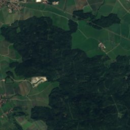
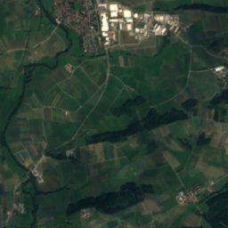
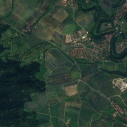
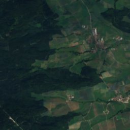
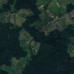
Steinbach (Bühler, Vellberg)
Photo: Brtlwr2 (talk) · CC0 · Wikimedia Commons
Steinbach (Bühler, Vellberg)Report this photo · linked, not stored
Steinbach (Bühler, Vellberg)
RiverVellberg, Baden-Wurttemberg

Steppach

RiverBest Jun · Aug–Sep
Elevation–above sea level
Length2.6 kmsource to mouth
Nearest townVellberg4.8 km
49.11° N, 9.93° EUTC+1 · Central European Standard Time
When to goVellberg · weather score
JanFebMarAprMayJunJulAugSepOctNovDec46October
Best timeJun · Aug–Sep
October: high / low14° / 6°
River

Steppach in brief

Steppach is a river in Vellberg, Baden-Wurttemberg, Germany.

The nearest town is Vellberg, 4.8 km to the SW, where the weather is best in June, August and September.

Steppach is 2.6 km long.

Vellberg: weather and travel guide

Weather nearby now

Forecast for Vellberg
11°
Cloudy now
Wind4 km/h
Humidity63%
Cloud cover80%
Today
26 Oct
11°
5°
1 mm
Tue
27 Oct
17°
5°
Wed
28 Oct
13°
5°
Thu
29 Oct
13°
1°
Fri
30 Oct
11°
1°

Model run 12:00 UTCRefreshed several times a day

When to go

The best months around Steppach

Climate of Vellberg

Month score in Vellberg

Comfort, dry days and sunshine · out of 100
22
Jan
27
Feb
26
Mar
58
Apr
66
May
67
Jun
67
Jul
69
Aug
75
Sep
46
Oct
24
Nov
17
Dec
Map

Steppach from above

Nature nearbyAll of Germany
Photo: Brtlwr1 · CC BY-SA 3.0 · Wikimedia CommonsReport this photo · linked, not stored
LanzenbachRiver2.1 kmSLanzenbach
Photo: Bernd Haynold · CC BY-SA 3.0 · Wikimedia CommonsReport this photo · linked, not stored
SchmerachRiver3.9 kmNSchmerach
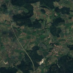
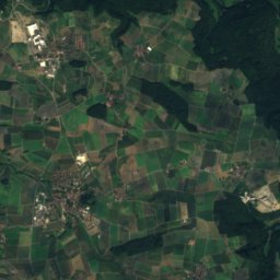
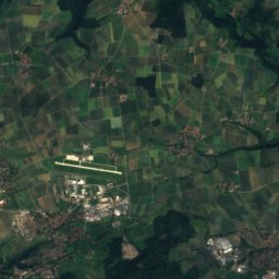
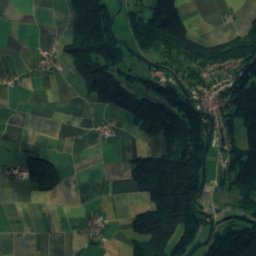
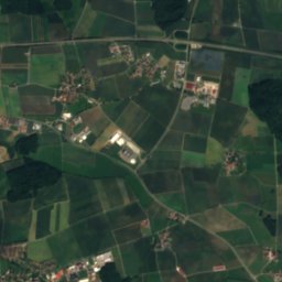
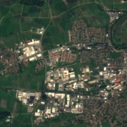
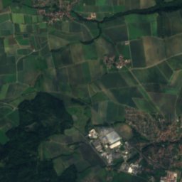
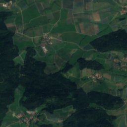
Satellite: Sentinel-2 cloudless 2016 by EOX IT Services GmbH · CC BY 4.0 · Contains modified Copernicus Sentinel data 2016
MaulachRiver4.0 kmNEMaulach
Photo: Brtlwr2 (talk) · CC0 · Wikimedia CommonsReport this photo · linked, not stored
Nesselbach (Bühler)River4.0 kmSNesselbach (Bühler)
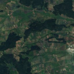
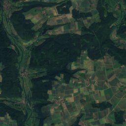
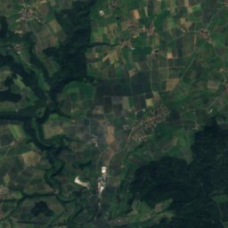
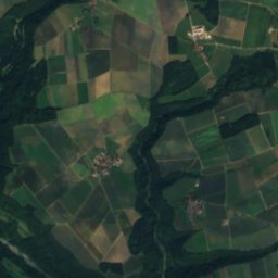
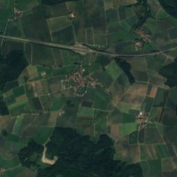
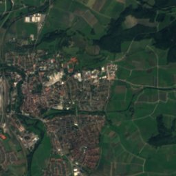
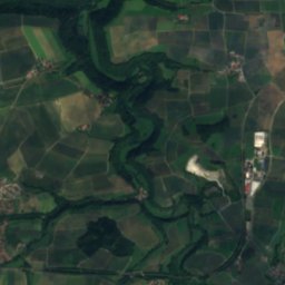
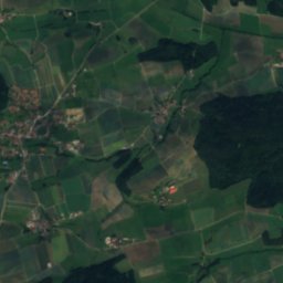
Satellite: Sentinel-2 cloudless 2016 by EOX IT Services GmbH · CC BY 4.0 · Contains modified Copernicus Sentinel data 2016
AalenbachRiver4.5 kmSWAalenbach
Photo: Brtlwr2 (talk) · CC0 · Wikimedia CommonsReport this photo · linked, not stored
Steinbach (Bühler, Vellberg)River4.7 kmSWSteinbach (Bühler, Vellberg)
Summits nearbyMountains of Germany
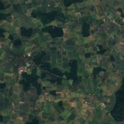
Photo: Kreuzschnabel · CC BY-SA 3.0 · Wikimedia CommonsReport this photo · linked, not stored
Hagberg25 km SW585 mJuly 23°Hagberg
Photo: Muck · CC BY-SA 4.0 · Wikimedia CommonsReport this photo · linked, not stored
Altenberg (Limpurg Hills)17 km S565 mJuly 24°Altenberg (Limpurg Hills)
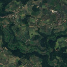
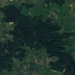
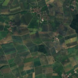
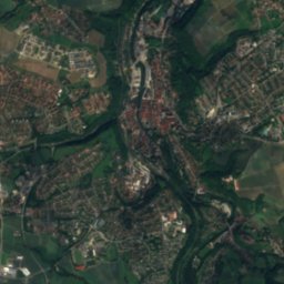
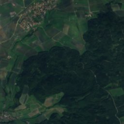
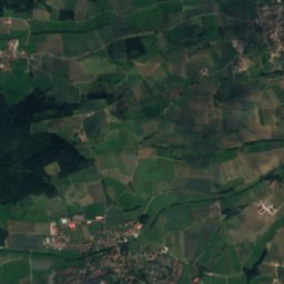
Satellite: Sentinel-2 cloudless 2016 by EOX IT Services GmbH · CC BY 4.0 · Contains modified Copernicus Sentinel data 2016
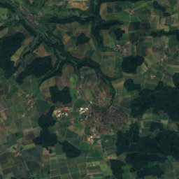
Birkenberg20 km NE547 mJuly 24°Birkenberg
Satellite: Sentinel-2 cloudless 2016 by EOX IT Services GmbH · CC BY 4.0 · Contains modified Copernicus Sentinel data 2016
Pfeifbuck22 km NE546 mJuly 24°Pfeifbuck
Satellite: Sentinel-2 cloudless 2016 by EOX IT Services GmbH · CC BY 4.0 · Contains modified Copernicus Sentinel data 2016
Grüber Ranken22 km NE546 mJuly 24°Grüber Ranken
Satellite: Sentinel-2 cloudless 2016 by EOX IT Services GmbH · CC BY 4.0 · Contains modified Copernicus Sentinel data 2016
Gailnauer Berg25 km NE543 mJuly 24°Gailnauer Berg
Stay nearby

Towns close by

Vellberg
Photo: UrLunkwill · CC BY 2.5 · Wikimedia CommonsReport this photo · linked, not stored

Vellberg

Baden-Wurttemberg · 4.8 km SW
14°Oct high
11wet days
46score
Vellberg
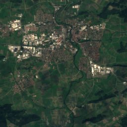
Obersontheim
Photo: Hellerblech (talk) · Public domain · Wikimedia CommonsReport this photo · linked, not stored

Obersontheim

Baden-Wurttemberg · 6.4 km S
14°Oct high
11wet days
46score
Obersontheim
Satellite: Sentinel-2 cloudless 2016 by EOX IT Services GmbH · CC BY 4.0 · Contains modified Copernicus Sentinel data 2016

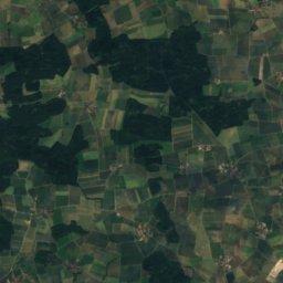
Ilshofen

Baden-Wurttemberg · 6.7 km N
14°Oct high
11wet days
44score
Ilshofen
Bühlertann
Photo: Bernd Haynold · CC BY-SA 3.0 · Wikimedia CommonsReport this photo · linked, not stored

Bühlertann

Baden-Wurttemberg · 7.8 km S
14°Oct high
11wet days
46score
Bühlertann
Around here

Vellberg and around

Vellberg
Photo: UrLunkwill · CC BY 2.5 · Wikimedia CommonsReport this photo · linked, not stored

Vellberg

Baden-Wurttemberg · Germany
Jun · Aug–Sepbest months
25°July high
393 maltitude
Vellberg

Nature

Schmerach
Photo: Bernd Haynold · CC BY-SA 3.0 · Wikimedia CommonsReport this photo · linked, not stored
8.3 km NE

Schmerach

River
Schmerach
Fischach
Photo: Brtlwr2 (talk) · CC0 · Wikimedia CommonsReport this photo · linked, not stored
7.3 km S

Fischach

River · 377 m
Fischach
Eisbach, Baden-Wurttemberg
Photo: BerndH at German Wikipedia · CC BY-SA 3.0 · Wikimedia CommonsReport this photo · linked, not stored
8.0 km SW

Eisbach, Baden-Wurttemberg

River
Eisbach, Baden-Wurttemberg

Mountains

Bernhardus
Photo: Kreuzschnabel · CC BY-SA 3.0 · Wikimedia CommonsReport this photo · linked, not stored
37 km S

Bernhardus

779 m · Swabian Jura
Bernhardus
Stuifen
Photo: I, Rosenzweig · CC BY-SA 3.0 · Wikimedia CommonsReport this photo · linked, not stored
38 km S

Stuifen

757 m · Swabian Jura
Stuifen
Rosenstein
Photo: Kreuzschnabel · CC BY-SA 3.0 · Wikimedia CommonsReport this photo · linked, not stored
33 km S

Rosenstein

735 m · Swabian Jura
Rosenstein

Heritage

Haus Fiebich
Photo: Tilman2007 · CC BY-SA 3.0 · Wikimedia CommonsReport this photo · linked, not stored
0.3 km NE

Haus Fiebich

Kulturdenkmal
Haus Fiebich
Marktbrunnen, Vellberg
Photo: Tilman2007 · CC BY-SA 4.0 · Wikimedia CommonsReport this photo · linked, not stored
0.4 km NE

Marktbrunnen, Vellberg

cultural heritage monument in Baden-Württemberg
Marktbrunnen, Vellberg
St. Martin (Stöckenburg)
Photo: RIrmler · CC BY-SA 3.0 de · Wikimedia CommonsReport this photo · linked, not stored
0.6 km N

St. Martin (Stöckenburg)

Kulturdenkmal
St. Martin (Stöckenburg)

Museums

Kunsthalle Würth
Photo: AlMare · CC BY-SA 2.5 · Wikimedia CommonsReport this photo · linked, not stored
11 km W

Kunsthalle Würth

Art museum · 1998
Kunsthalle Würth
Hällisch-Fränkisches Museum
Photo: Nanedev · CC BY-SA 3.0 · Wikimedia CommonsReport this photo · linked, not stored
11 km W

Hällisch-Fränkisches Museum

Hällisch-Fränkisches Museum
Hohenloher Freilandmuseum Wackershofen
Photo: Rosenzweig · CC BY-SA 3.0 · Wikimedia CommonsReport this photo · linked, not stored
14 km NW

Hohenloher Freilandmuseum Wackershofen

Open-air museum · 1983
Hohenloher Freilandmuseum Wackershofen