Skip to content
Destinations
Weather & climate
Nature
Outdoors
Culture
Events
Sky & live
Springe
Photo: © Freak-Line-Community / Wikimedia Commons · CC BY-SA 3.0 · Wikimedia Commons
SpringeReport this photo · linked, not stored
Schunterhöhle
Photo: Karle3 · CC BY-SA 4.0 · Wikimedia Commons
SchunterhöhleReport this photo · linked, not stored
Schunterhöhle
Käthra Kuche
Photo: Karle3 · CC BY-SA 4.0 · Wikimedia Commons
Käthra KucheReport this photo · linked, not stored
Käthra Kuche
Urspring
Photo: © Freak-Line-Community / Wikimedia Commons · CC BY-SA 3.0 · Wikimedia Commons
UrspringReport this photo · linked, not stored
Urspring
Helga-Abri
Photo: Thilo Parg · CC BY-SA 4.0 · Wikimedia Commons
Helga-AbriReport this photo · linked, not stored
Helga-Abri
RiverAllmendingen, Baden-Wurttemberg

Springe

RiverBest Jul–Sep
Elevation–above sea level
Length200 msource to mouth
Nearest townAllmendingen0.3 km
48.33° N, 9.73° EUTC+1 · Central European Standard Time
When to goAllmendingen · weather score
JanFebMarAprMayJunJulAugSepOctNovDec42October
Best timeJul–Sep
October: high / low14° / 5°
River

Springe in brief

Springe is a river in Allmendingen, Baden-Wurttemberg, Germany.

The nearest town is Allmendingen, 0.3 km to the SW, where the weather is best in July, August and September.

Springe is 200 m long.

Allmendingen: weather and travel guide

Weather nearby now

Forecast for Allmendingen
7°
Rain now
Wind27 km/h
Humidity92%
Cloud cover100%
Today
25 Oct
11°
5°
15 mm
Mon
26 Oct
12°
4°
Tue
27 Oct
17°
7°
Wed
28 Oct
13°
4°
1 mm
Thu
29 Oct
10°
1°

Model run 12:00 UTCRefreshed several times a day

When to go

The best months around Springe

Climate of Allmendingen

Month score in Allmendingen

Comfort, dry days and sunshine · out of 100
18
Jan
25
Feb
23
Mar
49
Apr
63
May
65
Jun
66
Jul
66
Aug
70
Sep
42
Oct
23
Nov
16
Dec
Map

Springe from above

Nature nearbyAll of Germany
Photo: Karle3 · CC BY-SA 4.0 · Wikimedia CommonsReport this photo · linked, not stored
SchunterhöhleCave4.8 kmWSchunterhöhle
Photo: Karle3 · CC BY-SA 4.0 · Wikimedia CommonsReport this photo · linked, not stored
Käthra KucheCave5.0 kmWKäthra Kuche
Photo: © Freak-Line-Community / Wikimedia Commons · CC BY-SA 3.0 · Wikimedia CommonsReport this photo · linked, not stored
UrspringRiver5.4 kmNUrspring
Photo: Thilo Parg · CC BY-SA 4.0 · Wikimedia CommonsReport this photo · linked, not stored
Helga-AbriCave5.5 kmNHelga-Abri
Photo: Dr. Eugen Lehle · CC BY-SA 3.0 · Wikimedia CommonsReport this photo · linked, not stored
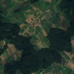
Hohle FelsCave5.5 kmNEHohle Fels
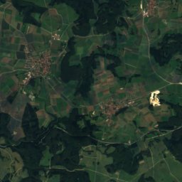
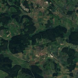
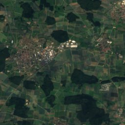
Satellite: Sentinel-2 cloudless 2016 by EOX IT Services GmbH · CC BY 4.0 · Contains modified Copernicus Sentinel data 2016
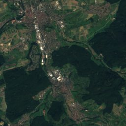
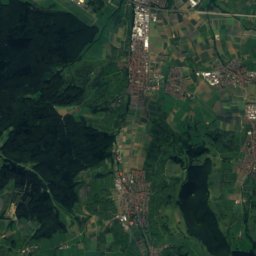
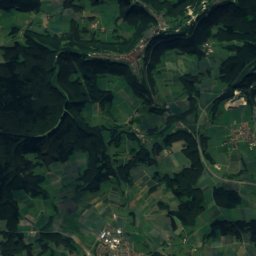
Weiherbach (Schmiech)River6.0 kmSWeiherbach (Schmiech)
Summits nearbyMountains of Germany
Satellite: Sentinel-2 cloudless 2016 by EOX IT Services GmbH · CC BY 4.0 · Contains modified Copernicus Sentinel data 2016
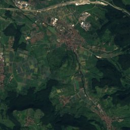
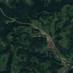
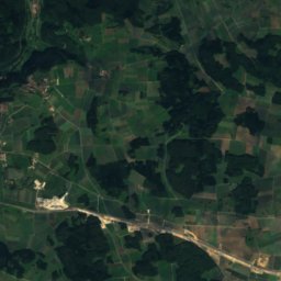
Römerstein (mountain)24 km NW874 mJuly 21°Römerstein (mountain)
Photo: Armin Appel · CC0 · Wikimedia CommonsReport this photo · linked, not stored
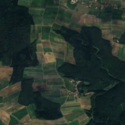
Bussen23 km SW767 mJuly 23°Bussen
Stay nearby

Towns close by

Allmendingen
Photo: Dr. Eugen Lehle · CC BY-SA 3.0 · Wikimedia CommonsReport this photo · linked, not stored
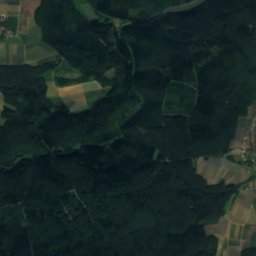
Allmendingen

Baden-Wurttemberg · 0.3 km SW
14°Oct high
12wet days
42score
Allmendingen
Altheim
Photo: Franzfoto · CC BY-SA 3.0 · Wikimedia CommonsReport this photo · linked, not stored
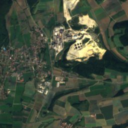
Altheim

Baden-Wurttemberg · 3.3 km E
13°Oct high
12wet days
38score
Altheim
Schelklingen
Photo: AlexanderF · CC BY-SA 3.0 · Wikimedia CommonsReport this photo · linked, not stored
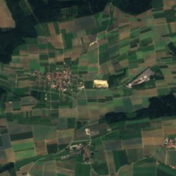
Schelklingen

Baden-Wurttemberg · 4.7 km N
13°Oct high
12wet days
40score
Schelklingen
Weilersteußlingen
Photo: Buchbibliothek · CC0 · Wikimedia CommonsReport this photo · linked, not stored
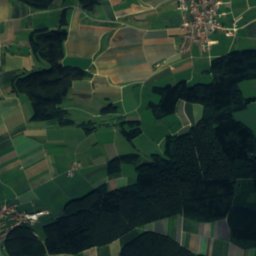
Weilersteußlingen

Baden-Wurttemberg · 5.2 km W
13°Oct high
12wet days
36score
Weilersteußlingen
Around here

Allmendingen and around

Allmendingen
Photo: Dr. Eugen Lehle · CC BY-SA 3.0 · Wikimedia CommonsReport this photo · linked, not stored
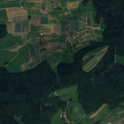
Allmendingen

Baden-Wurttemberg · Germany
Jul–Sepbest months
24°July high
518 maltitude
Allmendingen

Nature

Hohle Fels
Photo: Dr. Eugen Lehle · CC BY-SA 3.0 · Wikimedia CommonsReport this photo · linked, not stored
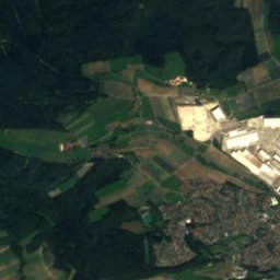
5.9 km NE

Hohle Fels

Cave · 616 m
Hohle Fels
Geißenklösterle
Photo: Unknown author · CC BY-SA 3.0 · Wikimedia CommonsReport this photo · linked, not stored
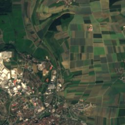
8.3 km NE

Geißenklösterle

Cave
Geißenklösterle
Riss
Photo: upload by Adrian Michael · CC BY-SA 3.0 · Wikimedia CommonsReport this photo · linked, not stored
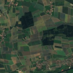
8.6 km SE

Riss

River
Riss

Mountains

Satellite: Sentinel-2 cloudless 2016 by EOX IT Services GmbH · CC BY 4.0 · Contains modified Copernicus Sentinel data 2016
24 km NW

Römerstein (mountain)

874 m · Swabian Jura
Römerstein (mountain)
Augstberg
Photo: Franzpaul · CC BY-SA 3.0 · Wikimedia CommonsReport this photo · linked, not stored
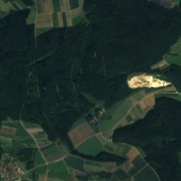
33 km W

Augstberg

849 m · Swabian Jura
Augstberg
Sternberg (Gomadingen)
Photo: Muck · CC BY-SA 4.0 · Wikimedia CommonsReport this photo · linked, not stored
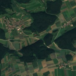
26 km W

Sternberg (Gomadingen)

844 m · Swabian Jura
Sternberg (Gomadingen)

Heritage

Pfarrkirche Mariä Himmelfahrt, Allmendingen
Photo: Dr. Eugen Lehle · CC BY-SA 3.0 · Wikimedia CommonsReport this photo · linked, not stored
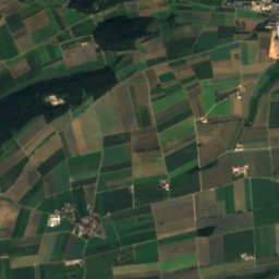
0.5 km S

Pfarrkirche Mariä Himmelfahrt, Allmendingen

cultural heritage monument in Baden-Württemberg
Pfarrkirche Mariä Himmelfahrt, Allmendingen
Schloss Allmendingen
Photo: Dr. Eugen Lehle · CC BY-SA 3.0 · Wikimedia CommonsReport this photo · linked, not stored
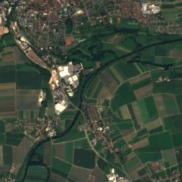
0.1 km SE

Schloss Allmendingen

Kulturdenkmal
Schloss Allmendingen
Westernach’sches Kaplaneihaus
Photo: Franz Rothenbacher · CC0 · Wikimedia CommonsReport this photo · linked, not stored
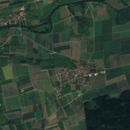
5.1 km N

Westernach’sches Kaplaneihaus

Kulturdenkmal · 1599
Westernach’sches Kaplaneihaus

Museums

Museum für Urgeschichte und Eiszeitkunst
Photo: Tomatenpflanze · CC BY-SA 4.0 · Wikimedia CommonsReport this photo · linked, not stored
10 km NE

Museum für Urgeschichte und Eiszeitkunst

Museum für Urgeschichte und Eiszeitkunst
Römermuseum in der Schule Rißtissen
Photo: Schneebiene · CC0 · Wikimedia CommonsReport this photo · linked, not stored
11 km SE

Römermuseum in der Schule Rißtissen

1960
Römermuseum in der Schule Rißtissen
Kalkofenmuseum
Photo: Olga Ernst · CC BY-SA 4.0 · Wikimedia CommonsReport this photo · linked, not stored
12 km SW

Kalkofenmuseum

Kalkofenmuseum