Skip to content
Destinations
Weather & climate
Nature
Outdoors
Culture
Events
Sky & live
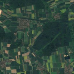
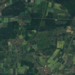
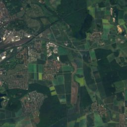
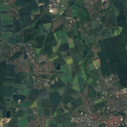
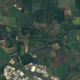
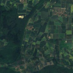
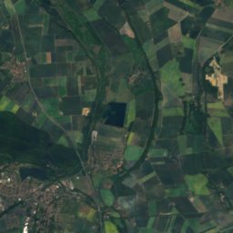
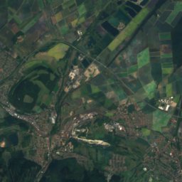
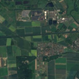
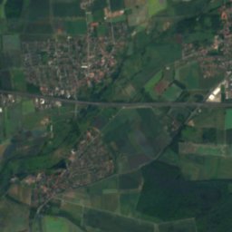
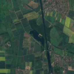
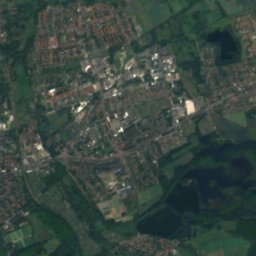
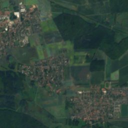
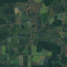
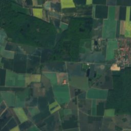
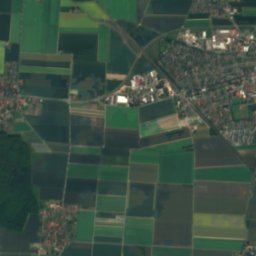
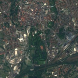
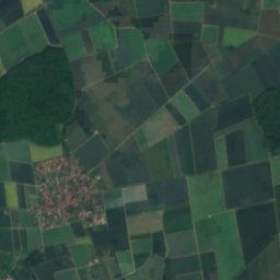
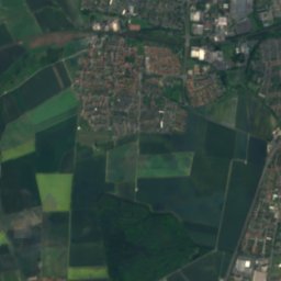
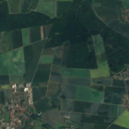
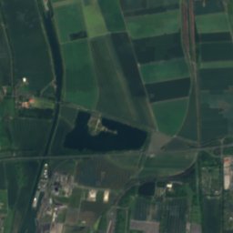
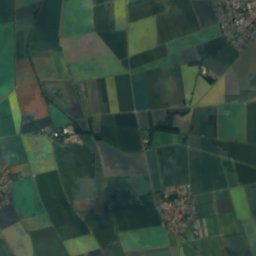
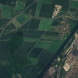
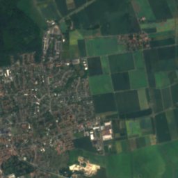
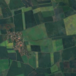
Satellite: Sentinel-2 cloudless 2016 by EOX IT Services GmbH · CC BY 4.0 · Contains modified Copernicus Sentinel data 2016
Südsee
Photo: Okernick · CC BY-SA 3.0 · Wikimedia Commons
SüdseeReport this photo · linked, not stored
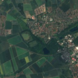
Südsee
Kulkegraben
Photo: Okernick · CC BY-SA 4.0 · Wikimedia Commons
KulkegrabenReport this photo · linked, not stored
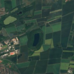
Kulkegraben
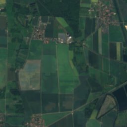
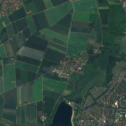
Heidbergsee
Photo: Igge · CC BY-SA 3.0 · Wikimedia Commons
HeidbergseeReport this photo · linked, not stored
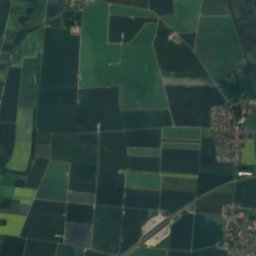
Heidbergsee
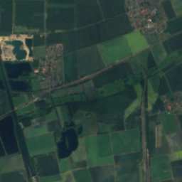
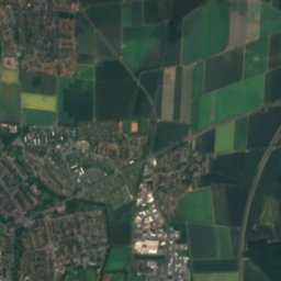
Löbbeckes Insel
Photo: m.prinke · CC BY-SA 2.0 · Wikimedia Commons
Löbbeckes InselReport this photo · linked, not stored
Löbbeckes Insel
RiverMelverode, Lower Saxony

Springbach

RiverBest May–Jun · Sep
Elevation–above sea level
Length3.5 kmsource to mouth
Nearest townMelverode0.9 km
52.22° N, 10.51° EUTC+2 · Central European Summer Time
When to goMelverode · weather score
JanFebMarAprMayJunJulAugSepOctNovDec45October
Best timeMay–Jun · Sep
October: high / low14° / 7°
River

Springbach in brief

Springbach is a river in Melverode, Lower Saxony, Germany.

The nearest town is Melverode, 0.9 km to the NE, where the weather is best in May, June and September.

Springbach is 3.5 km long.

Melverode: weather and travel guide

Weather nearby now

Forecast for Melverode
12°
Cloudy now
Wind27 km/h
Humidity72%
Cloud cover86%
Today
23 Oct
13°
10°
1 mm
Sat
24 Oct
12°
8°
2 mm
Sun
25 Oct
15°
8°
9 mm
Mon
26 Oct
13°
7°
1 mm
Tue
27 Oct
17°
9°
2 mm

Model run 12:00 UTCRefreshed several times a day

When to go

The best months around Springbach

Climate of Melverode

Month score in Melverode

Comfort, dry days and sunshine · out of 100
15
Jan
21
Feb
23
Mar
57
Apr
69
May
65
Jun
64
Jul
65
Aug
71
Sep
45
Oct
16
Nov
13
Dec
Map

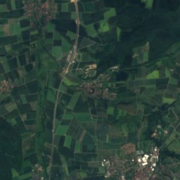
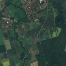
Springbach from above

Nature nearbyAll of Germany
Photo: Okernick · CC BY-SA 3.0 · Wikimedia CommonsReport this photo · linked, not stored
SüdseeLake0.5 kmNSüdsee
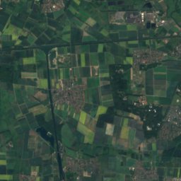
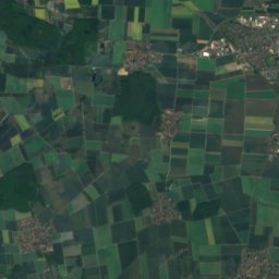
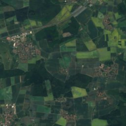
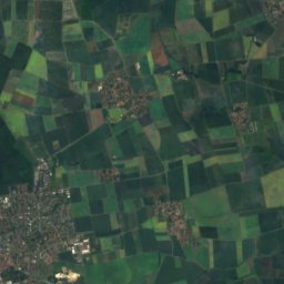
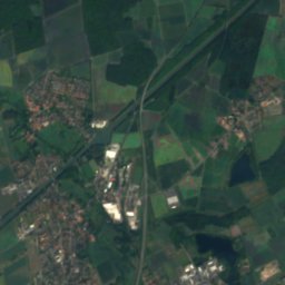
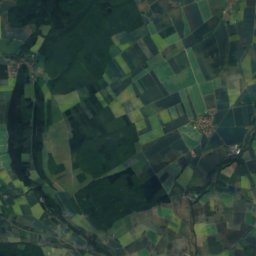
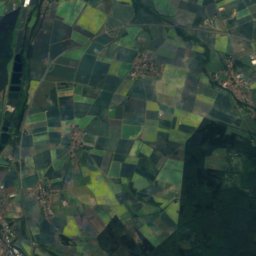
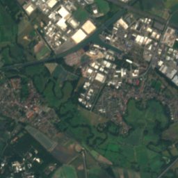
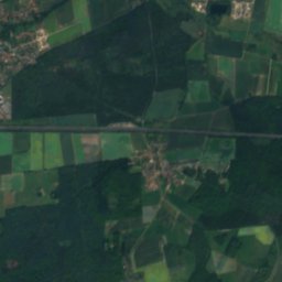
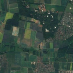
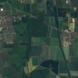
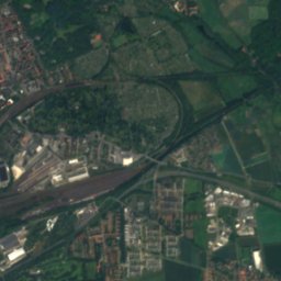
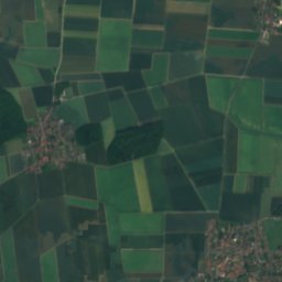
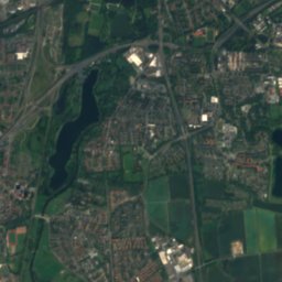
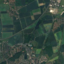
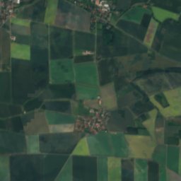
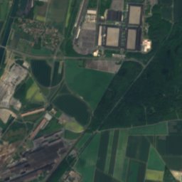
Satellite: Sentinel-2 cloudless 2016 by EOX IT Services GmbH · CC BY 4.0 · Contains modified Copernicus Sentinel data 2016
ThiedebachRiver1.4 kmSThiedebach
Photo: Okernick · CC BY-SA 4.0 · Wikimedia CommonsReport this photo · linked, not stored
KulkegrabenRiver1.4 kmSKulkegraben
Photo: Igge · CC BY-SA 3.0 · Wikimedia CommonsReport this photo · linked, not stored
HeidbergseeLake2.2 kmEHeidbergsee
Photo: m.prinke · CC BY-SA 2.0 · Wikimedia CommonsReport this photo · linked, not stored
Löbbeckes InselIsland5.0 kmNLöbbeckes Insel
Photo: Okernick · CC BY-SA 3.0 · Wikimedia CommonsReport this photo · linked, not stored
RaffteicheLake5.6 kmNWRaffteiche
Summits nearbyMountains of Germany
Photo: Utausb · CC BY-SA 3.0 · Wikimedia CommonsReport this photo · linked, not stored
Eilumer Horn16 km E323 mJuly 23°Eilumer Horn
Photo: TeWeBs · CC BY-SA 3.0 · Wikimedia CommonsReport this photo · linked, not stored
Seilbahnberg13 km W157 mJuly 24°Seilbahnberg
Photo: Okernick · CC BY-SA 3.0 · Wikimedia CommonsReport this photo · linked, not stored
Linden-Berg3.9 km S122 mJuly 25°Linden-Berg
Stay nearby

Towns close by

Melverode
Photo: Rabanus Flavus · CC0 · Wikimedia CommonsReport this photo · linked, not stored

Melverode

Lower Saxony · 0.9 km NE
14°Oct high
12wet days
45score
Melverode
Heidberg
Photo: Okernick · CC BY-SA 3.0 · Wikimedia CommonsReport this photo · linked, not stored

Heidberg

Lower Saxony · 1.1 km E
14°Oct high
12wet days
45score
Heidberg
Südstadt
Photo: Verograph · CC BY-SA 3.0 · Wikimedia CommonsReport this photo · linked, not stored

Südstadt

Lower Saxony · 3.1 km E
14°Oct high
12wet days
45score
Südstadt
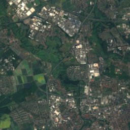
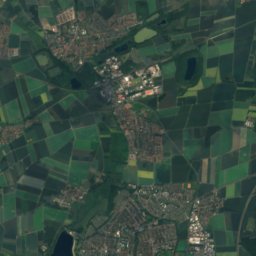
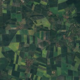
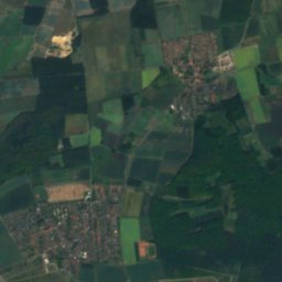
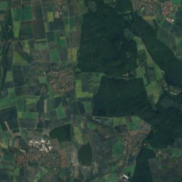
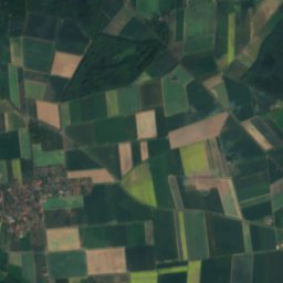
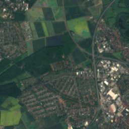
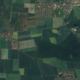
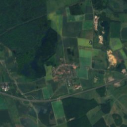
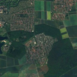
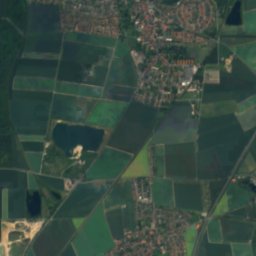
Satellite: Sentinel-2 cloudless 2016 by EOX IT Services GmbH · CC BY 4.0 · Contains modified Copernicus Sentinel data 2016

Mascherode

Lower Saxony · 3.5 km E
14°Oct high
12wet days
45score
Mascherode
Around here

Melverode and around

Melverode
Photo: Rabanus Flavus · CC0 · Wikimedia CommonsReport this photo · linked, not stored

Melverode

Lower Saxony · Germany
May–Jun · Sepbest months
25°July high
77 maltitude
Melverode

Nature

Mittelriede
Photo: Okernick · CC BY-SA 3.0 · Wikimedia CommonsReport this photo · linked, not stored
7.7 km N

Mittelriede

River
Mittelriede
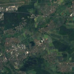
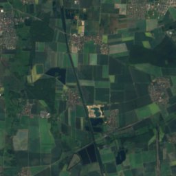
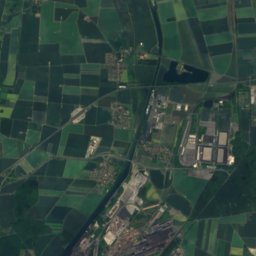
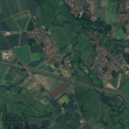
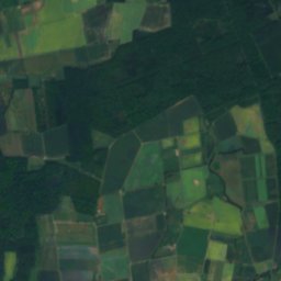
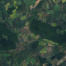
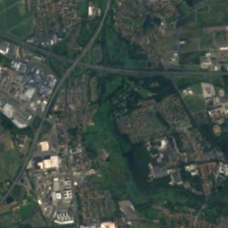
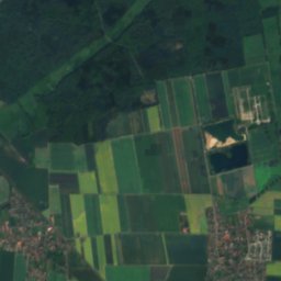
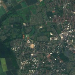
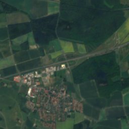
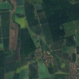
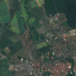
Satellite: Sentinel-2 cloudless 2016 by EOX IT Services GmbH · CC BY 4.0 · Contains modified Copernicus Sentinel data 2016
7.5 km N

Wabe

River
Wabe
Heidbergsee
Photo: Igge · CC BY-SA 3.0 · Wikimedia CommonsReport this photo · linked, not stored
1.6 km E

Heidbergsee

Lake · 76 m
Heidbergsee

Mountains

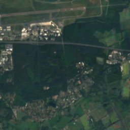
Satellite: Sentinel-2 cloudless 2016 by EOX IT Services GmbH · CC BY 4.0 · Contains modified Copernicus Sentinel data 2016
40 km S

Sidekum

654 m · Harz
Sidekum
Rammelsberg
Photo: Foto: Axel Hindemith · CC BY 3.0 · Wikimedia CommonsReport this photo · linked, not stored
39 km S

Rammelsberg

635 m · Harz
Rammelsberg
Satellite: Sentinel-2 cloudless 2016 by EOX IT Services GmbH · CC BY 4.0 · Contains modified Copernicus Sentinel data 2016
39 km S

Herzberg, Lower Saxony

632 m · Harz
Herzberg, Lower Saxony

Heritage

Satellite: Sentinel-2 cloudless 2016 by EOX IT Services GmbH · CC BY 4.0 · Contains modified Copernicus Sentinel data 2016
1.1 km N

Schloss Richmond

architectural heritage monument in Lower Saxony · 1769
Schloss Richmond
Braunschweig Central Station
Photo: Igge · CC BY-SA 3.0 · Wikimedia CommonsReport this photo · linked, not stored
2.7 km N

Braunschweig Central Station

Kulturdenkmal
Braunschweig Central Station
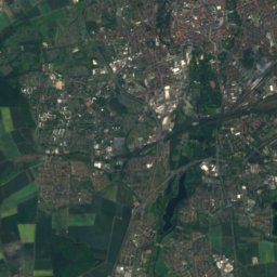
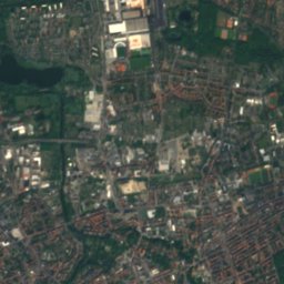
Satellite: Sentinel-2 cloudless 2016 by EOX IT Services GmbH · CC BY 4.0 · Contains modified Copernicus Sentinel data 2016
0.6 km SW

St. Nicolai, Melverode

architectural heritage monument in Lower Saxony
St. Nicolai, Melverode

Museums

Satellite: Sentinel-2 cloudless 2016 by EOX IT Services GmbH · CC BY 4.0 · Contains modified Copernicus Sentinel data 2016
3.8 km N

Herzog Anton Ulrich Museum

Art museum · 1754
Herzog Anton Ulrich Museum
Satellite: Sentinel-2 cloudless 2016 by EOX IT Services GmbH · CC BY 4.0 · Contains modified Copernicus Sentinel data 2016
3.7 km N

Brunswick Palace

Brunswick Palace
Museum für Photographie
Photo: User:Brunswyk · CC BY-SA 3.0 · Wikimedia CommonsReport this photo · linked, not stored
3.8 km N

Museum für Photographie

Photography museum · 1984
Museum für Photographie