Skip to content
Destinations
Weather & climate
Nature
Outdoors
Culture
Events
Sky & live
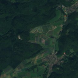
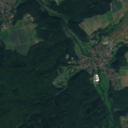
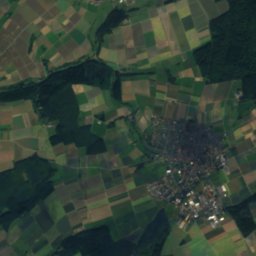
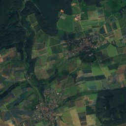
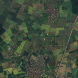
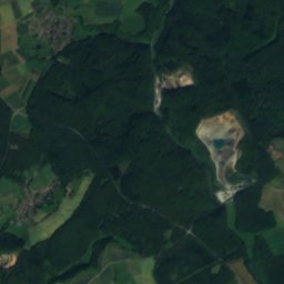
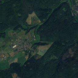
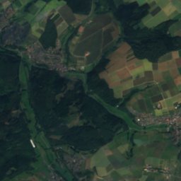
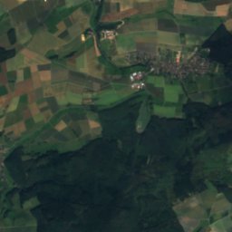
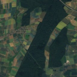
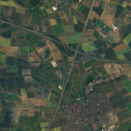
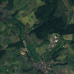
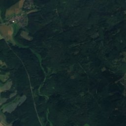
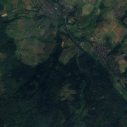
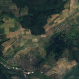
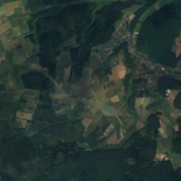
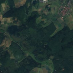
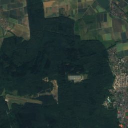
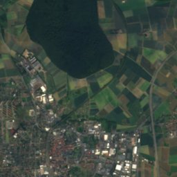
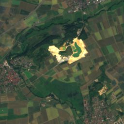
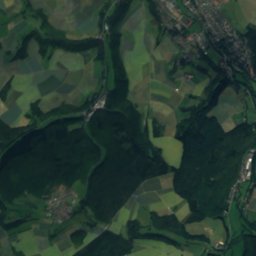
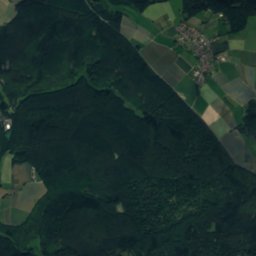
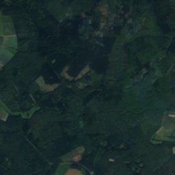
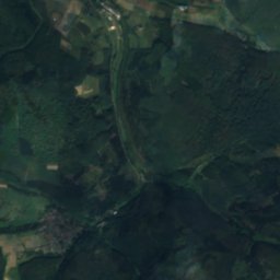
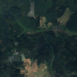
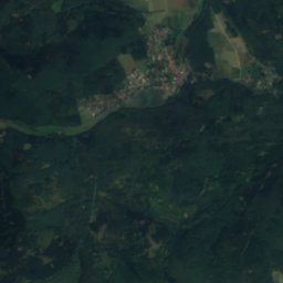
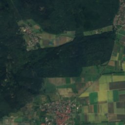
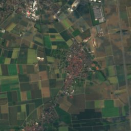
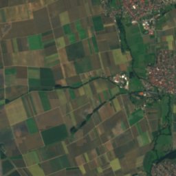
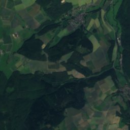
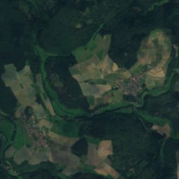
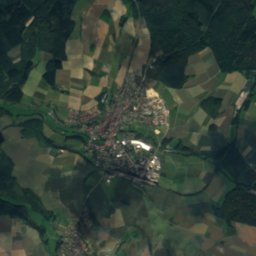
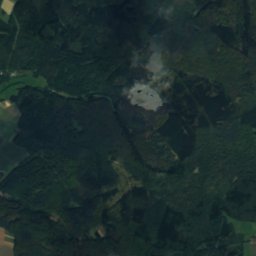
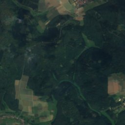
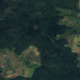
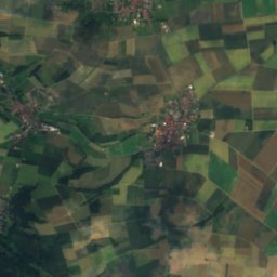
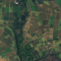
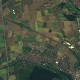
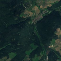
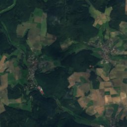
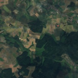
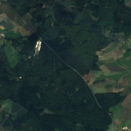
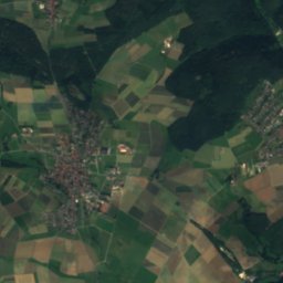
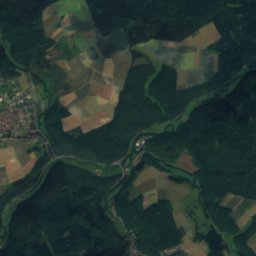
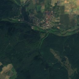
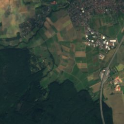
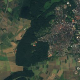
Satellite: Sentinel-2 cloudless 2016 by EOX IT Services GmbH · CC BY 4.0 · Contains modified Copernicus Sentinel data 2016
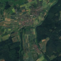
Kleebach
Photo: Kmhkmh · CC BY 3.0 · Wikimedia Commons
KleebachReport this photo · linked, not stored
Kleebach
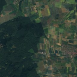
Issel
Photo: Ballapete · CC0 · Wikimedia Commons
IsselReport this photo · linked, not stored
Issel
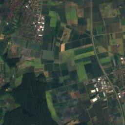
Fauerbach
Photo: Peter Dyballa · CC0 · Wikimedia Commons
FauerbachReport this photo · linked, not stored
Fauerbach
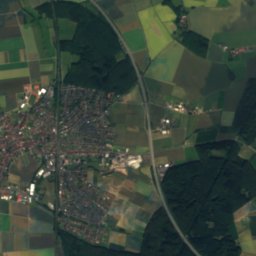
Forbach
Photo: Ballapete · CC0 · Wikimedia Commons
ForbachReport this photo · linked, not stored
Forbach
RiverButzbach, Hesse

Solmsbach

RiverBest Jun · Aug–Sep
Elevation–above sea level
Length25 kmsource to mouth
Nearest townButzbach6.2 km
50.42° N, 8.59° EUTC+1 · Central European Standard Time
When to goButzbach · weather score
JanFebMarAprMayJunJulAugSepOctNovDec44October
Best timeJun · Aug–Sep
October: high / low14° / 6°
River

Solmsbach in brief

Solmsbach is a river in Butzbach, Hesse, Germany.

The nearest town is Butzbach, 6.2 km to the E, where the weather is best in June, August and September.

Solmsbach is 25 km long.

Butzbach: weather and travel guide

Weather nearby now

Forecast for Butzbach
9°
Partly cloudy now
Wind10 km/h
Humidity81%
Cloud cover31%
Today
27 Oct
15°
8°
Wed
28 Oct
14°
4°
1 mm
Thu
29 Oct
13°
1°
Fri
30 Oct
12°
1°
Sat
31 Oct
12°
1°

Model run 12:00 UTCRefreshed several times a day

When to go

The best months around Solmsbach

Climate of Butzbach

Month score in Butzbach

Comfort, dry days and sunshine · out of 100
Map

Solmsbach from above

Nature nearbyAll of Germany
Photo: Kmhkmh · CC BY 3.0 · Wikimedia CommonsReport this photo · linked, not stored
KleebachRiver0.6 kmEKleebach
Photo: Ballapete · CC0 · Wikimedia CommonsReport this photo · linked, not stored
IsselRiver1.1 kmSEIssel
Photo: Peter Dyballa · CC0 · Wikimedia CommonsReport this photo · linked, not stored
FauerbachRiver1.7 kmSFauerbach
Photo: Ballapete · CC0 · Wikimedia CommonsReport this photo · linked, not stored
ForbachRiver3.1 kmSForbach
Photo: Ballapete · CC0 · Wikimedia CommonsReport this photo · linked, not stored
EtzbachRiver5.0 kmSEEtzbach
Photo: Cherubino · CC BY-SA 4.0 · Wikimedia CommonsReport this photo · linked, not stored
DießenbachRiver5.5 kmNEDießenbach
Summits nearbyMountains of Germany
Photo: Jörg Braukmann · CC BY-SA 4.0 · Wikimedia CommonsReport this photo · linked, not stored
Großer Feldberg23 km SW879 mJuly 20°Großer Feldberg
Photo: X-angel · CC BY-SA 4.0 · Wikimedia CommonsReport this photo · linked, not stored
Kleiner Feldberg24 km SW825 mJuly 20°Kleiner Feldberg
Photo: Jörg Braukmann · CC BY-SA 4.0 · Wikimedia CommonsReport this photo · linked, not stored
Altkönig24 km S798 mJuly 21°Altkönig
Photo: dontworry · CC BY-SA 3.0 · Wikimedia CommonsReport this photo · linked, not stored
Weilsberg24 km SW701 mJuly 21°Weilsberg
Photo: Jörg Braukmann · CC BY-SA 4.0 · Wikimedia CommonsReport this photo · linked, not stored
Kolbenberg21 km S690 mJuly 21°Kolbenberg
Photo: X-angel · CC BY-SA 4.0 · Wikimedia CommonsReport this photo · linked, not stored
Sängelberg21 km SW665 mJuly 23°Sängelberg
Stay nearby

Towns close by

Butzbach
Photo: Fritz Geller-Grimm · CC BY-SA 3.0 · Wikimedia CommonsReport this photo · linked, not stored

Butzbach

Hesse · 6.2 km E
14°Oct high
12wet days
44score
Butzbach
Ober-Mörlen
Photo: Karsten Ratzke · CC0 · Wikimedia CommonsReport this photo · linked, not stored

Ober-Mörlen

Hesse · 8.9 km SE
14°Oct high
12wet days
46score
Ober-Mörlen
Grävenwiesbach
Photo: MdE · CC BY-SA 3.0 de · Wikimedia CommonsReport this photo · linked, not stored

Grävenwiesbach

Hesse · 9.8 km W
14°Oct high
12wet days
41score
Grävenwiesbach
Usingen
Photo: Volker Thies (Asdrubal) · CC BY-SA 3.0 · Wikimedia CommonsReport this photo · linked, not stored

Usingen

Hesse · 9.9 km S
14°Oct high
12wet days
43score
Usingen
Around here

Butzbach and around

Butzbach
Photo: Fritz Geller-Grimm · CC BY-SA 3.0 · Wikimedia CommonsReport this photo · linked, not stored

Butzbach

Hesse · Germany
Jun · Aug–Sepbest months
25°July high
206 maltitude
Butzbach

Nature

Aitzenbach
Photo: Ballapete · CC0 · Wikimedia CommonsReport this photo · linked, not stored
11 km S

Aitzenbach

River
Aitzenbach
Kleebach
Photo: Kmhkmh · CC BY 3.0 · Wikimedia CommonsReport this photo · linked, not stored
5.6 km W

Kleebach

River
Kleebach
Dießenbach
Photo: Cherubino · CC BY-SA 4.0 · Wikimedia CommonsReport this photo · linked, not stored
3.0 km NW

Dießenbach

River · 170 m
Dießenbach

Mountains

Großer Feldberg
Photo: Jörg Braukmann · CC BY-SA 4.0 · Wikimedia CommonsReport this photo · linked, not stored
27 km SW

Großer Feldberg

879 m · Taunus
Großer Feldberg
Kleiner Feldberg
Photo: X-angel · CC BY-SA 4.0 · Wikimedia CommonsReport this photo · linked, not stored
29 km SW

Kleiner Feldberg

825 m · Taunus
Kleiner Feldberg
Altkönig
Photo: Jörg Braukmann · CC BY-SA 4.0 · Wikimedia CommonsReport this photo · linked, not stored
28 km SW

Altkönig

798 m · Taunus
Altkönig

Heritage

Komturkirche Nieder-Weisel
Photo: Lumpeseggl · CC BY-SA 3.0 · Wikimedia CommonsReport this photo · linked, not stored
2.3 km S

Komturkirche Nieder-Weisel

cultural heritage monument in Hesse · 1242
Komturkirche Nieder-Weisel
Solms Castle in Butzbach
Photo: Cherubino · CC BY-SA 3.0 · Wikimedia CommonsReport this photo · linked, not stored
0.2 km SE

Solms Castle in Butzbach

cultural heritage monument in Hesse · 1481
Solms Castle in Butzbach
Ehemalige Hospitalkapelle St. Wendelin
Photo: Cherubino · CC BY-SA 3.0 · Wikimedia CommonsReport this photo · linked, not stored
0.3 km S

Ehemalige Hospitalkapelle St. Wendelin

Kulturdenkmal
Ehemalige Hospitalkapelle St. Wendelin

Museums

Museum der Stadt Butzbach
Photo: Haselburg-müller · CC BY-SA 3.0 · Wikimedia CommonsReport this photo · linked, not stored
0.2 km SE

Museum der Stadt Butzbach

1894
Museum der Stadt Butzbach
Wetterau-Museum
Photo: Oliver Abels (SBT) · CC BY-SA 3.0 · Wikimedia CommonsReport this photo · linked, not stored
12 km SE

Wetterau-Museum

Wetterau-Museum
Rathausstraße 18
Photo: self · CC BY 3.0 · Wikimedia CommonsReport this photo · linked, not stored
10 km N

Rathausstraße 18

Local museum · 1952
Rathausstraße 18