Skip to content
Destinations
Weather & climate
Nature
Outdoors
Culture
Events
Sky & live
Seebach (Regnitz)
Photo: Janericloebe · CC BY-SA 3.0 · Wikimedia Commons
Seebach (Regnitz)Report this photo · linked, not stored
Großer Bischofsweiher
Photo: Erika Rathje · CC BY-SA 4.0 · Wikimedia Commons
Großer BischofsweiherReport this photo · linked, not stored
Großer Bischofsweiher
Schwabach (Regnitz)
Photo: © Rolf Krahl / CC BY 4.0 (via Wikimedia Commons) · CC BY 4.0 · Wikimedia Commons
Schwabach (Regnitz)Report this photo · linked, not stored
Schwabach (Regnitz)
Aurach (Regnitz, Mittelfranken)
Photo: Janericloebe · CC BY 3.0 · Wikimedia Commons
Aurach (Regnitz, Mittelfranken)Report this photo · linked, not stored
Aurach (Regnitz, Mittelfranken)
Wiesent (Regnitz)
Photo: Derzno · CC BY 3.0 · Wikimedia Commons
Wiesent (Regnitz)Report this photo · linked, not stored
Wiesent (Regnitz)
RiverMöhrendorf, Bavaria

Seebach (Regnitz)

RiverBest Jun · Aug–Sep
Elevation–above sea level
Length22 kmsource to mouth
Nearest townMöhrendorf1.6 km
49.65° N, 11.01° EUTC+2 · Central European Summer Time
When to goMöhrendorf · weather score
JanFebMarAprMayJunJulAugSepOctNovDec47October
Best timeJun · Aug–Sep
October: high / low14° / 6°
River

Seebach (Regnitz) in brief

Seebach (Regnitz) is a river in Möhrendorf, Bavaria, Germany.

The nearest town in the atlas is Möhrendorf, 1.6 km to the S, where the weather is best in June, August and September.

Seebach (Regnitz) is 22 km long.

Möhrendorf: weather and travel guide

Weather nearby now

Forecast for Möhrendorf
12°
Sunny now
Wind13 km/h
Humidity55%
Cloud cover12%
Today
22 Oct
13°
5°
Fri
23 Oct
13°
4°
1 mm
Sat
24 Oct
9°
5°
1 mm
Sun
25 Oct
12°
6°
19 mm
Mon
26 Oct
12°
5°

Model run 00:00 UTCRefreshed several times a day

When to go

The best months around Seebach (Regnitz)

Climate of Möhrendorf

Month score in Möhrendorf

Comfort, dry days and sunshine · out of 100
17
Jan
26
Feb
25
Mar
61
Apr
63
May
67
Jun
65
Jul
68
Aug
72
Sep
47
Oct
22
Nov
15
Dec
Map

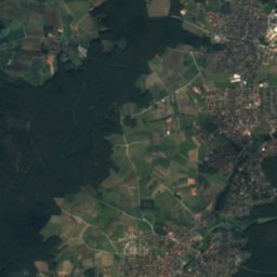
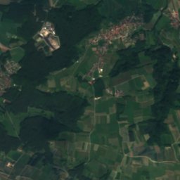
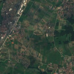
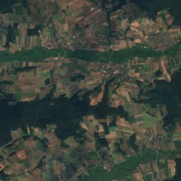
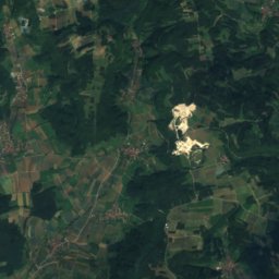
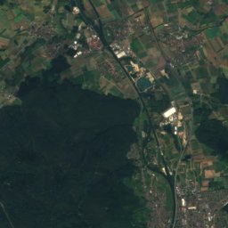
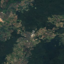
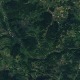
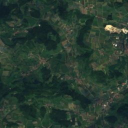
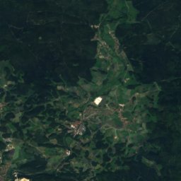
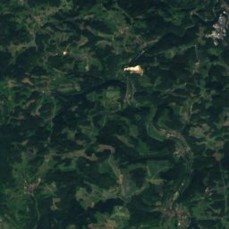
Seebach (Regnitz) from above

Nature nearbyAll of Germany
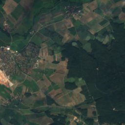
Satellite: Sentinel-2 cloudless 2016 by EOX IT Services GmbH · CC BY 4.0 · Contains modified Copernicus Sentinel data 2016
Schlangenbach (Regnitz)River2.5 kmNESchlangenbach (Regnitz)
Photo: Erika Rathje · CC BY-SA 4.0 · Wikimedia CommonsReport this photo · linked, not stored
Großer BischofsweiherLake4.2 kmSWGroßer Bischofsweiher
Photo: © Rolf Krahl / CC BY 4.0 (via Wikimedia Commons) · CC BY 4.0 · Wikimedia CommonsReport this photo · linked, not stored
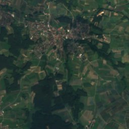
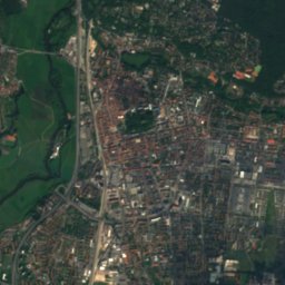
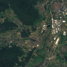
Schwabach (Regnitz)River4.4 kmSSchwabach (Regnitz)
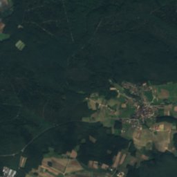
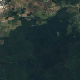
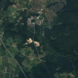
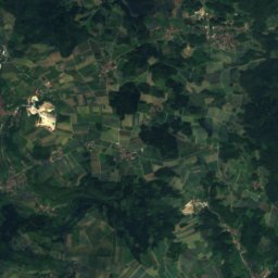
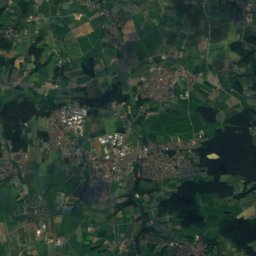
Satellite: Sentinel-2 cloudless 2016 by EOX IT Services GmbH · CC BY 4.0 · Contains modified Copernicus Sentinel data 2016
Welles WeiherLake6.7 kmSWWelles Weiher
Photo: Janericloebe · CC BY 3.0 · Wikimedia CommonsReport this photo · linked, not stored
Aurach (Regnitz, Mittelfranken)River8.7 kmSAurach (Regnitz, Mittelfranken)
Photo: Derzno · CC BY 3.0 · Wikimedia CommonsReport this photo · linked, not stored
Wiesent (Regnitz)River9.2 kmNWiesent (Regnitz)
Summits nearbyMountains of Germany
Photo: Janericloebe · CC BY 3.0 · Wikimedia CommonsReport this photo · linked, not stored
Friesener Warte22 km N562 mJuly 23°Friesener Warte
Photo: Mikmaq · CC BY 3.0 · Wikimedia CommonsReport this photo · linked, not stored
Hetzleser Berg11 km E549 mJuly 23°Hetzleser Berg
Photo: (User:Alma) · CC BY-SA 3.0 · Wikimedia CommonsReport this photo · linked, not stored
Lindenberg (Fränkische Schweiz)13 km E545 mJuly 24°Lindenberg (Fränkische Schweiz)
Photo: ChiefPilot · CC BY-SA 3.0 · Wikimedia CommonsReport this photo · linked, not stored
Lange Meile19 km NE517 mJuly 23°Lange Meile
Photo: Jockalo · CC BY-SA 4.0 · Wikimedia CommonsReport this photo · linked, not stored
Kunigundenberg24 km SE383 mJuly 25°Kunigundenberg
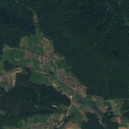
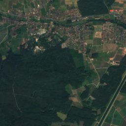
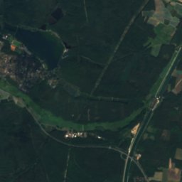
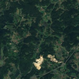
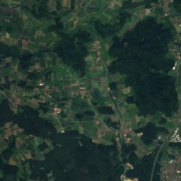
Satellite: Sentinel-2 cloudless 2016 by EOX IT Services GmbH · CC BY 4.0 · Contains modified Copernicus Sentinel data 2016
Kellerberg (Forchheim)10 km NE340 mJuly 25°Kellerberg (Forchheim)
Stay nearby

Towns close by

Möhrendorf
Photo: Moehri · CC BY-SA 3.0 · Wikimedia CommonsReport this photo · linked, not stored

Möhrendorf

Bavaria · 1.6 km S
14°Oct high
11wet days
47score
Möhrendorf
Bubenreuth
Photo: Aarp65 · CC BY-SA 4.0 · Wikimedia CommonsReport this photo · linked, not stored

Bubenreuth

Bavaria · 2.4 km S
14°Oct high
11wet days
47score
Bubenreuth
Baiersdorf
Photo: Kassandro · CC BY-SA 3.0 · Wikimedia CommonsReport this photo · linked, not stored

Baiersdorf

Bavaria · 2.5 km NE
14°Oct high
11wet days
47score
Baiersdorf
Langensendelbach
Photo: Wolkenkratzer · CC BY-SA 4.0 · Wikimedia CommonsReport this photo · linked, not stored

Langensendelbach

Bavaria · 4.8 km E
14°Oct high
11wet days
46score
Langensendelbach
Around here

Möhrendorf and around

Möhrendorf
Photo: Moehri · CC BY-SA 3.0 · Wikimedia CommonsReport this photo · linked, not stored

Möhrendorf

Bavaria · Germany
Jun · Aug–Sepbest months
25°July high
272 maltitude
Möhrendorf

Nature

Wiesent (Regnitz)
Photo: Derzno · CC BY 3.0 · Wikimedia CommonsReport this photo · linked, not stored
11 km N

Wiesent (Regnitz)

River
Wiesent (Regnitz)
Aurach (Regnitz, Mittelfranken)
Photo: Janericloebe · CC BY 3.0 · Wikimedia CommonsReport this photo · linked, not stored
7.0 km S

Aurach (Regnitz, Mittelfranken)

River · 278 m
Aurach (Regnitz, Mittelfranken)
Schwabach (Regnitz)
Photo: © Rolf Krahl / CC BY 4.0 (via Wikimedia Commons) · CC BY 4.0 · Wikimedia CommonsReport this photo · linked, not stored
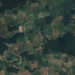
2.8 km S

Schwabach (Regnitz)

River
Schwabach (Regnitz)

Mountains

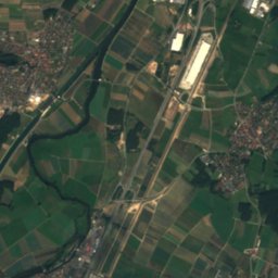
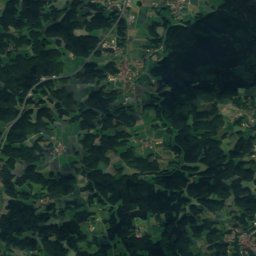
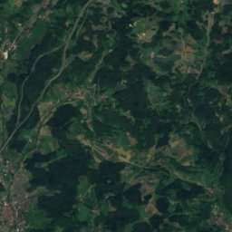
Satellite: Sentinel-2 cloudless 2016 by EOX IT Services GmbH · CC BY 4.0 · Contains modified Copernicus Sentinel data 2016
30 km E

Hohe Reuth

637 m · Franconian Jura
Hohe Reuth
Kleiner Kulm
Photo: Wiki4Wikinger · CC BY-SA 3.0 · Wikimedia CommonsReport this photo · linked, not stored
40 km NE

Kleiner Kulm

627 m · Franconian Jura
Kleiner Kulm
Houbirg
Photo: DALIBRI · CC BY-SA 4.0 · Wikimedia CommonsReport this photo · linked, not stored
39 km SE

Houbirg

616 m · Franconian Jura
Houbirg

Heritage

Burgbergtunnel
Photo: © Rolf Krahl / CC BY 4.0 (via Wikimedia Commons) · CC BY 4.0 · Wikimedia CommonsReport this photo · linked, not stored
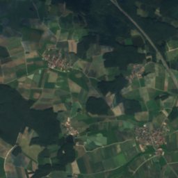
2.6 km S

Burgbergtunnel

architectural heritage monument in Bavaria · 1840
Burgbergtunnel
Schweizerhaus, Erlangen
Photo: Janericloebe · CC BY 3.0 · Wikimedia CommonsReport this photo · linked, not stored
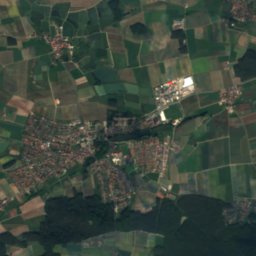
2.6 km S

Schweizerhaus, Erlangen

architectural heritage monument in Bavaria
Schweizerhaus, Erlangen
Burgberg, Bubenreuth
Photo: Daniel Arnold · CC BY-SA 3.0 · Wikimedia CommonsReport this photo · linked, not stored
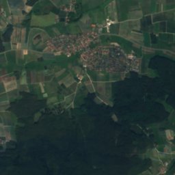
2.7 km S

Burgberg, Bubenreuth

heritage monument ensemble in Bavaria
Burgberg, Bubenreuth

Museums

Erlangen city museum
Photo: Janericloebe · CC BY 3.0 · Wikimedia CommonsReport this photo · linked, not stored
3.5 km S

Erlangen city museum

City museum
Erlangen city museum
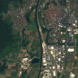
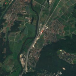
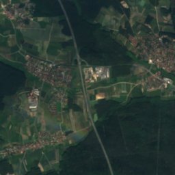
Satellite: Sentinel-2 cloudless 2016 by EOX IT Services GmbH · CC BY 4.0 · Contains modified Copernicus Sentinel data 2016
2.9 km S

Burgberggarten

Sculpture garden
Burgberggarten
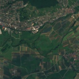
Satellite: Sentinel-2 cloudless 2016 by EOX IT Services GmbH · CC BY 4.0 · Contains modified Copernicus Sentinel data 2016
3.8 km S

Antique and Classical Collection of the University of Erlangen-Nuremberg

University museum · 1857
Antique and Classical Collection of the University of Erlangen-Nuremberg