Skip to content
Destinations
Weather & climate
Nature
Outdoors
Culture
Events
Sky & live
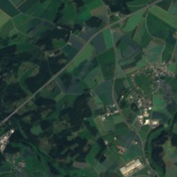
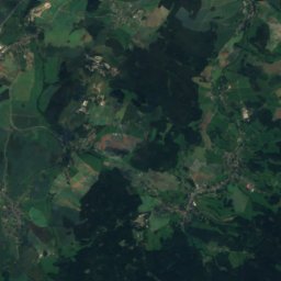
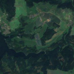
Satellite: Sentinel-2 cloudless 2016 by EOX IT Services GmbH · CC BY 4.0 · Contains modified Copernicus Sentinel data 2016
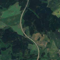
Kupferbach (Tannbach)
Photo: TPO · CC BY-SA 3.0 · Wikimedia Commons
Kupferbach (Tannbach)Report this photo · linked, not stored
Kupferbach (Tannbach)
Tannbach
Photo: TPO · CC BY-SA 3.0 · Wikimedia Commons
TannbachReport this photo · linked, not stored
Tannbach
Kemmler
Photo: N8eule78 · CC BY 3.0 · Wikimedia Commons
KemmlerReport this photo · linked, not stored
Kemmler
LakeGefell, Thuringia

Schwanensee, Thuringia

LakeBest Jul–Sep
Elevation–above sea level
Area–surface
Nearest townGefell3.9 km
50.45° N, 11.91° EUTC+2 · Central European Summer Time
When to goGefell · weather score
JanFebMarAprMayJunJulAugSepOctNovDec34October
Best timeJul–Sep
October: high / low12° / 4°
Lake

Schwanensee, Thuringia in brief

Schwanensee, Thuringia is a lake in Gefell, Thuringia, Germany — lake in Saxony.

The nearest town is Gefell, 3.9 km to the W, where the weather is best in July, August and September.

Gefell: weather and travel guide

Weather nearby now

Forecast for Gefell
8°
Cloudy now
Wind23 km/h
Humidity66%
Cloud cover62%
Today
23 Oct
10°
4°
1 mm
Sat
24 Oct
6°
2°
5 mm
Sun
25 Oct
10°
4°
18 mm
Mon
26 Oct
10°
3°
Tue
27 Oct
12°
5°
1 mm

Model run 12:00 UTCRefreshed several times a day

When to go

The best months around Schwanensee, Thuringia

Climate of Gefell

Month score in Gefell

Comfort, dry days and sunshine · out of 100
12
Jan
20
Feb
19
Mar
44
Apr
56
May
62
Jun
63
Jul
66
Aug
66
Sep
34
Oct
17
Nov
10
Dec
Map

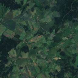
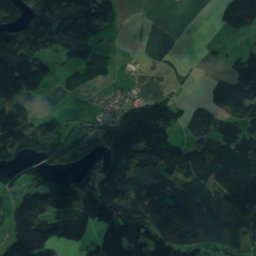
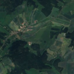
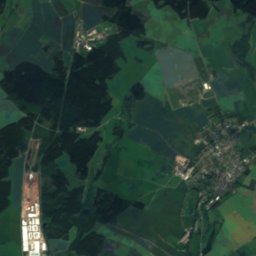
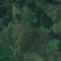
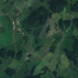
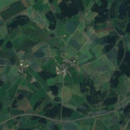
Schwanensee, Thuringia from above

Nature nearbyAll of Germany
Satellite: Sentinel-2 cloudless 2016 by EOX IT Services GmbH · CC BY 4.0 · Contains modified Copernicus Sentinel data 2016
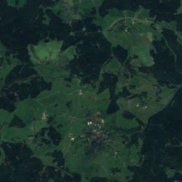
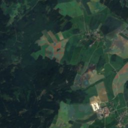
Großer Teich, BavariaLake2.1 kmSEGroßer Teich, Bavaria
Photo: TPO · CC BY-SA 3.0 · Wikimedia CommonsReport this photo · linked, not stored
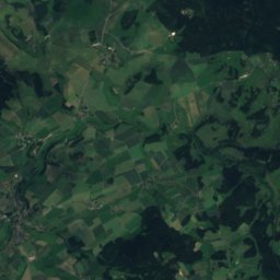
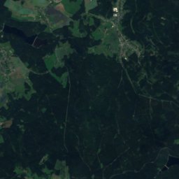
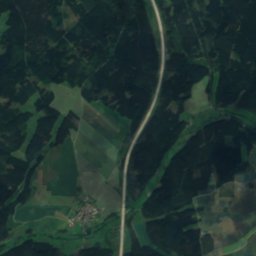
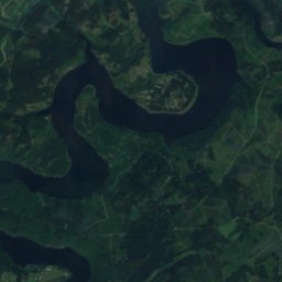
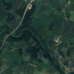
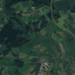
Kupferbach (Tannbach)River6.8 kmSWKupferbach (Tannbach)
Photo: TPO · CC BY-SA 3.0 · Wikimedia CommonsReport this photo · linked, not stored
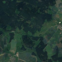
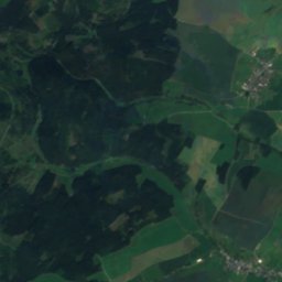
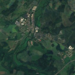
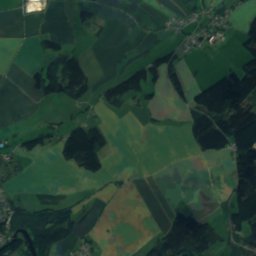
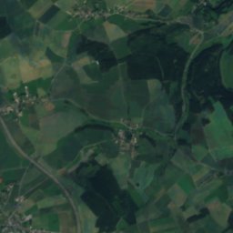
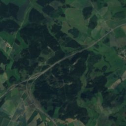
TannbachRiver8.3 kmSWTannbach
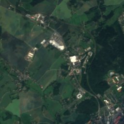
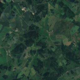
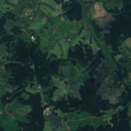
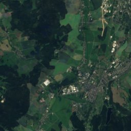
Satellite: Sentinel-2 cloudless 2016 by EOX IT Services GmbH · CC BY 4.0 · Contains modified Copernicus Sentinel data 2016
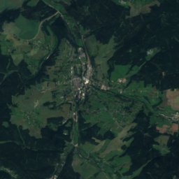
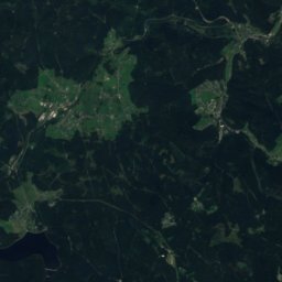
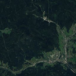
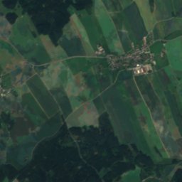
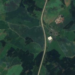
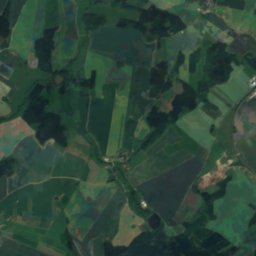
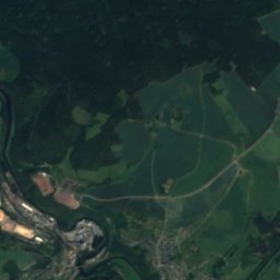
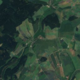
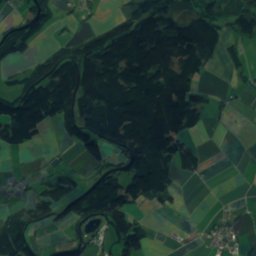
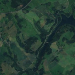
Schießbach (Saale)River8.7 kmSWSchießbach (Saale)
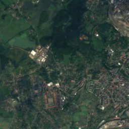
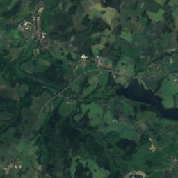
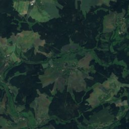
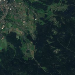
Satellite: Sentinel-2 cloudless 2016 by EOX IT Services GmbH · CC BY 4.0 · Contains modified Copernicus Sentinel data 2016
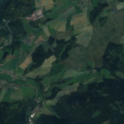
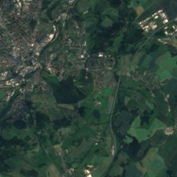
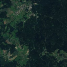
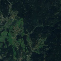
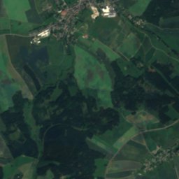
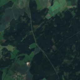
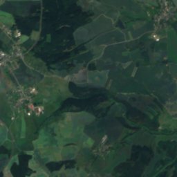
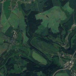
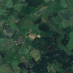
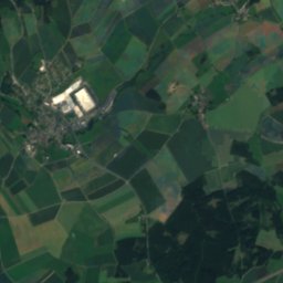
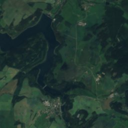
Auensee, BavariaLake9.8 kmSWAuensee, Bavaria
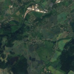
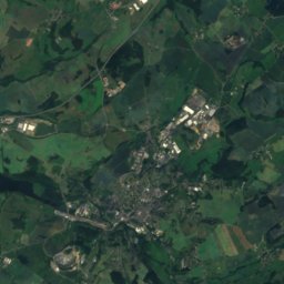
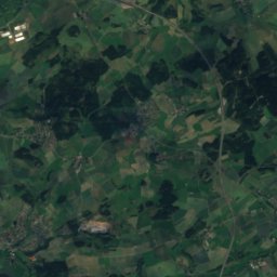
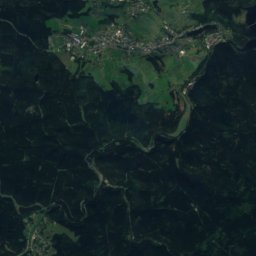
Satellite: Sentinel-2 cloudless 2016 by EOX IT Services GmbH · CC BY 4.0 · Contains modified Copernicus Sentinel data 2016
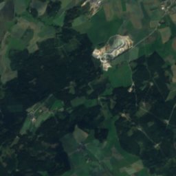
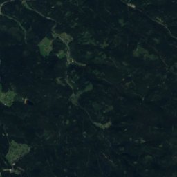
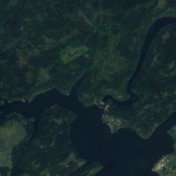
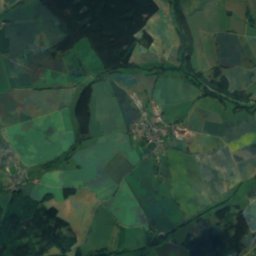
Rosenbach, SaxonyRiver10 kmERosenbach, Saxony
Summits nearbyMountains of Germany
Satellite: Sentinel-2 cloudless 2016 by EOX IT Services GmbH · CC BY 4.0 · Contains modified Copernicus Sentinel data 2016
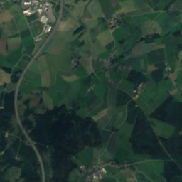
Platzerberg18 km SE629 mJuly 22°Platzerberg
Photo: N8eule78 · CC BY 3.0 · Wikimedia CommonsReport this photo · linked, not stored
Kemmler18 km E507 mJuly 23°Kemmler
Stay nearby

Towns close by

Gefell
Photo: Lucas Friese · CC BY-SA 3.0 · Wikimedia CommonsReport this photo · linked, not stored

Gefell

Thuringia · 3.9 km W
12°Oct high
11wet days
34score
Gefell
Mödlareuth
Photo: Jarba · Public domain · Wikimedia CommonsReport this photo · linked, not stored

Mödlareuth

Bavaria · 4.4 km SW
12°Oct high
11wet days
34score
Mödlareuth
Tanna
Photo: Panoramedia · CC BY-SA 3.0 · Wikimedia CommonsReport this photo · linked, not stored

Tanna

Thuringia · 6.3 km NW
12°Oct high
11wet days
35score
Tanna
Töpen
Photo: TPO · CC BY-SA 3.0 · Wikimedia CommonsReport this photo · linked, not stored

Töpen

Bavaria · 7.2 km SW
12°Oct high
11wet days
35score
Töpen
Around here

Gefell and around

Gefell
Photo: Lucas Friese · CC BY-SA 3.0 · Wikimedia CommonsReport this photo · linked, not stored

Gefell

Thuringia · Germany
Jul–Sepbest months
23°July high
571 maltitude
Gefell

Nature

Tannbach
Photo: TPO · CC BY-SA 3.0 · Wikimedia CommonsReport this photo · linked, not stored
5.5 km S

Tannbach

River
Tannbach
Selbitz
Photo: Mirco Schön · CC BY 3.0 · Wikimedia CommonsReport this photo · linked, not stored
12 km W

Selbitz

River
Selbitz
Kupferbach (Tannbach)
Photo: TPO · CC BY-SA 3.0 · Wikimedia CommonsReport this photo · linked, not stored
4.7 km S

Kupferbach (Tannbach)

River
Kupferbach (Tannbach)

Mountains

Satellite: Sentinel-2 cloudless 2016 by EOX IT Services GmbH · CC BY 4.0 · Contains modified Copernicus Sentinel data 2016
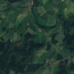
36 km E

Rehhübel

932 m · Ore Mountains
Rehhübel
Großer Waldstein
Photo: Schubbay · CC BY-SA 3.0 · Wikimedia CommonsReport this photo · linked, not stored
35 km S

Großer Waldstein

877 m · Fichtel Mountains
Großer Waldstein
Bergkopf
Photo: PeterBraun74 · CC BY-SA 3.0 · Wikimedia CommonsReport this photo · linked, not stored
33 km S

Bergkopf

857 m · Fichtel Mountains
Bergkopf

Heritage

Stadtkirche Unserer Lieben Frauen, Gefell
Photo: GFDL · CC BY-SA 3.0 · Wikimedia CommonsReport this photo · linked, not stored
0.3 km S

Stadtkirche Unserer Lieben Frauen, Gefell

Heritage monument in Thuringia
Stadtkirche Unserer Lieben Frauen, Gefell
St. Michaelis (Hof)
Photo: PantheraLeo1359531 · CC BY 4.0 · Wikimedia CommonsReport this photo · linked, not stored
14 km S

St. Michaelis (Hof)

architectural heritage monument in Bavaria · 1230
St. Michaelis (Hof)
Bleiloch Dam
Photo: JøMa · CC BY-SA 3.0 · Wikimedia CommonsReport this photo · linked, not stored
14 km NW

Bleiloch Dam

Kulturdenkmal · 1925
Bleiloch Dam

Museums

Deutsch-Deutsches Museum Mödlareuth Mödlareuth
Photo: Alexander Migl · CC BY-SA 4.0 · Wikimedia CommonsReport this photo · linked, not stored
3.3 km SE

Deutsch-Deutsches Museum Mödlareuth Mödlareuth

Open-air museum
Deutsch-Deutsches Museum Mödlareuth Mödlareuth
Museum Bavarian Vogtland
Photo: PantheraLeo1359531 · CC BY 4.0 · Wikimedia CommonsReport this photo · linked, not stored
14 km S

Museum Bavarian Vogtland

Regional museum · 1983
Museum Bavarian Vogtland
Jean Paul Museum, Joditz
Photo: PantheraLeo1359531 · CC BY-SA 4.0 · Wikimedia CommonsReport this photo · linked, not stored
7.8 km S

Jean Paul Museum, Joditz

Jean Paul Museum, Joditz