Skip to content
Destinations
Weather & climate
Nature
Outdoors
Culture
Events
Sky & live
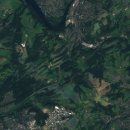
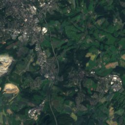
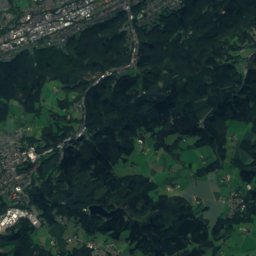
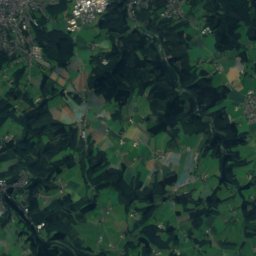
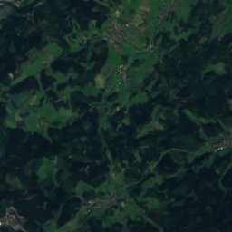
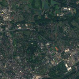
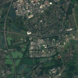
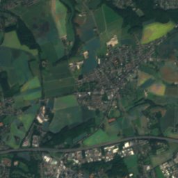
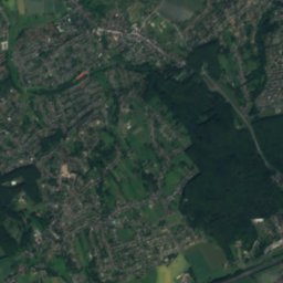
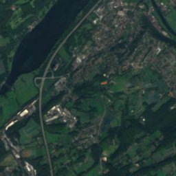
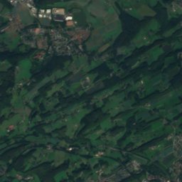
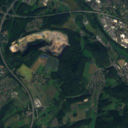
Satellite: Sentinel-2 cloudless 2016 by EOX IT Services GmbH · CC BY 4.0 · Contains modified Copernicus Sentinel data 2016
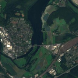
Harkortsee
Photo: Quersus · CC BY-SA 3.0 · Wikimedia Commons
HarkortseeReport this photo · linked, not stored
Harkortsee
Volme
Photo: Frank Vincentz · CC BY-SA 3.0 · Wikimedia Commons
VolmeReport this photo · linked, not stored
Volme
Winterberg, Sprockhövel
Photo: Marku1988 · CC BY 3.0 · Wikimedia Commons
Winterberg, SprockhövelReport this photo · linked, not stored
Winterberg, Sprockhövel
Klusenberg
Photo: User PodrPro · CC BY-SA 3.0 · Wikimedia Commons
KlusenbergReport this photo · linked, not stored
Klusenberg
RiverWetter, North Rhine-Westphalia

Schnodderbach

RiverBest May · Jul · Sep
Elevation–above sea level
Length2.4 kmsource to mouth
Nearest townWetter1.8 km
51.40° N, 7.40° EUTC+2 · Central European Summer Time
When to goWetter · weather score
JanFebMarAprMayJunJulAugSepOctNovDec45October
Best timeMay · Jul · Sep
October: high / low15° / 7°
River

Schnodderbach in brief

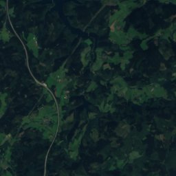
Schnodderbach is a river in Wetter, North Rhine-Westphalia, Germany.

The nearest town is Wetter, 1.8 km to the S, where the weather is best in May, July and September.

Schnodderbach is 2.4 km long.

Wetter: weather and travel guide

Weather nearby now

Forecast for Wetter
14°
Showers now
Wind26 km/h
Humidity63%
Cloud cover55%
Today
23 Oct
15°
9°
10 mm
Sat
24 Oct
12°
7°
14 mm
Sun
25 Oct
14°
8°
25 mm
Mon
26 Oct
13°
8°
Tue
27 Oct
18°
10°
2 mm

Model run 12:00 UTCRefreshed several times a day

When to go

The best months around Schnodderbach

Climate of Wetter

Month score in Wetter

Comfort, dry days and sunshine · out of 100
16
Jan
19
Feb
21
Mar
56
Apr
64
May
63
Jun
64
Jul
64
Aug
67
Sep
45
Oct
15
Nov
15
Dec
Map

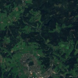
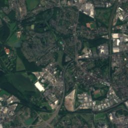
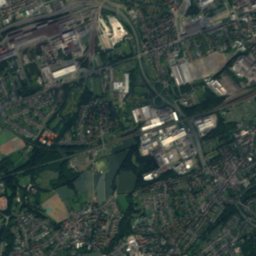
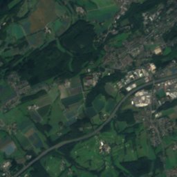
Schnodderbach from above

Nature nearbyAll of Germany
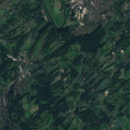
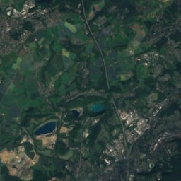
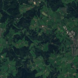
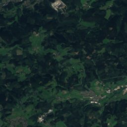
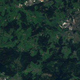
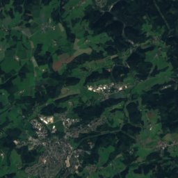
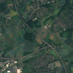
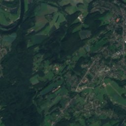
Satellite: Sentinel-2 cloudless 2016 by EOX IT Services GmbH · CC BY 4.0 · Contains modified Copernicus Sentinel data 2016
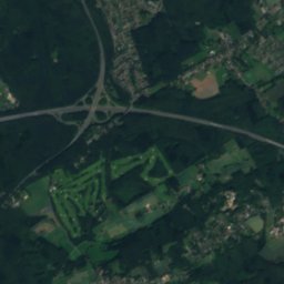
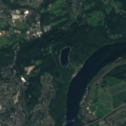
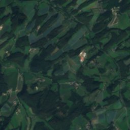
Ender-BachRiver0.7 kmNEnder-Bach
Photo: Quersus · CC BY-SA 3.0 · Wikimedia CommonsReport this photo · linked, not stored
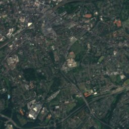
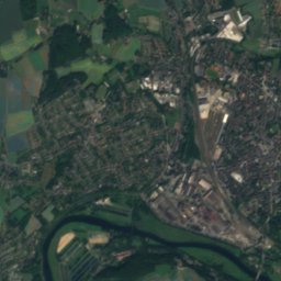
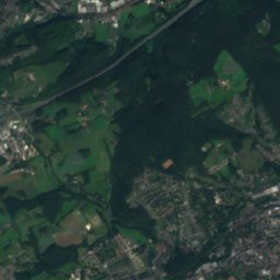
HarkortseeLake0.9 kmSHarkortsee
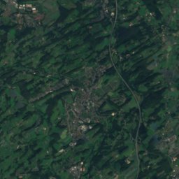
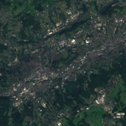
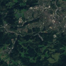
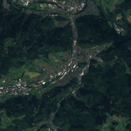
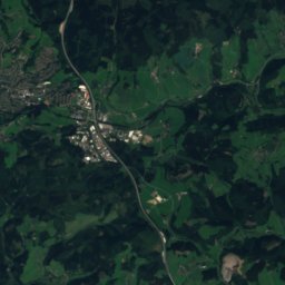
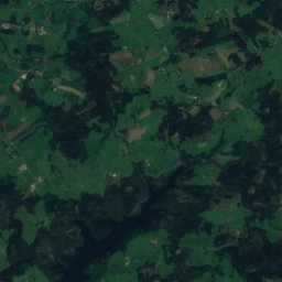
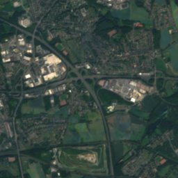
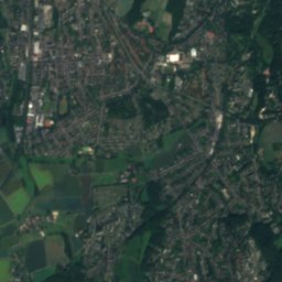
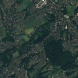
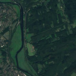
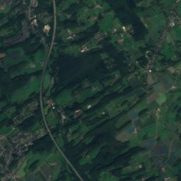
Satellite: Sentinel-2 cloudless 2016 by EOX IT Services GmbH · CC BY 4.0 · Contains modified Copernicus Sentinel data 2016
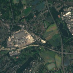
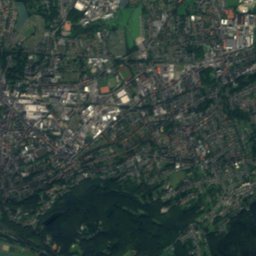
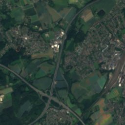
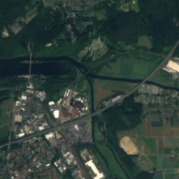
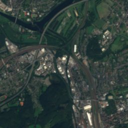
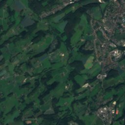
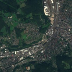
GederbachRiver1.9 kmNWGederbach
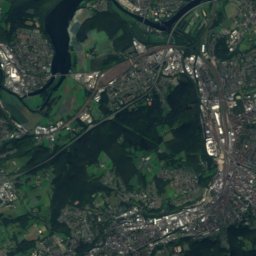
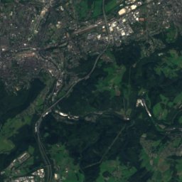
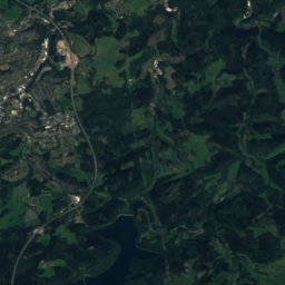
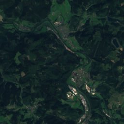
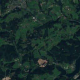
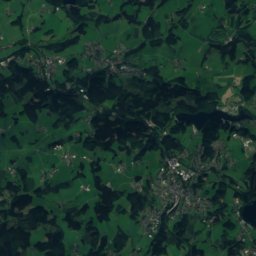
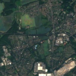
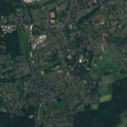
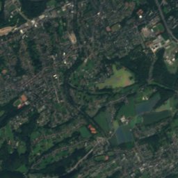
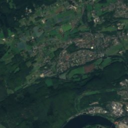
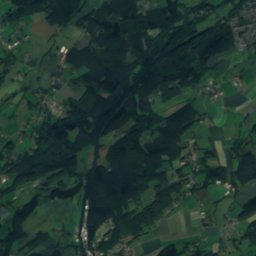
Satellite: Sentinel-2 cloudless 2016 by EOX IT Services GmbH · CC BY 4.0 · Contains modified Copernicus Sentinel data 2016
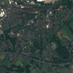
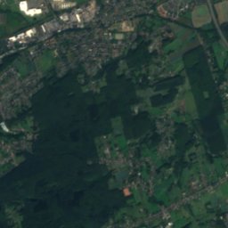
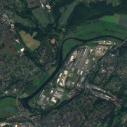
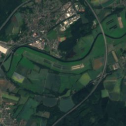
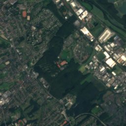
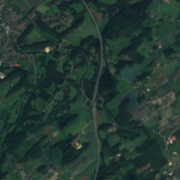
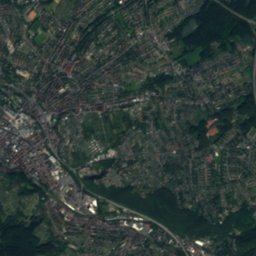
StollenbachRiver2.6 kmWStollenbach
Photo: Frank Vincentz · CC BY-SA 3.0 · Wikimedia CommonsReport this photo · linked, not stored
VolmeRiver3.2 kmEVolme
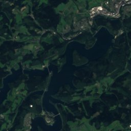
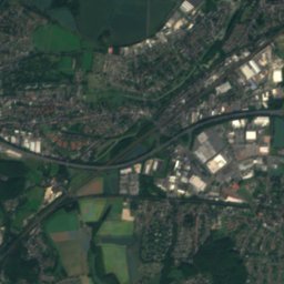
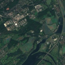
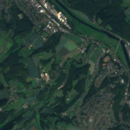
Satellite: Sentinel-2 cloudless 2016 by EOX IT Services GmbH · CC BY 4.0 · Contains modified Copernicus Sentinel data 2016
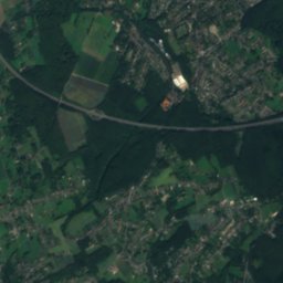
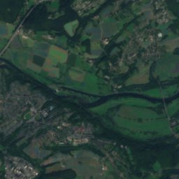
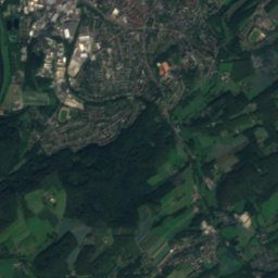
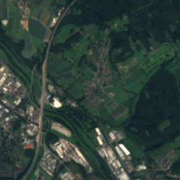
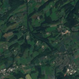
ElbscheRiver3.5 kmWElbsche
Summits nearbyMountains of Germany
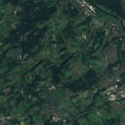
Satellite: Sentinel-2 cloudless 2016 by EOX IT Services GmbH · CC BY 4.0 · Contains modified Copernicus Sentinel data 2016
Winterberg, Schwelm15 km SW351 mJuly 23°Winterberg, Schwelm
Photo: Marku1988 · CC BY 3.0 · Wikimedia CommonsReport this photo · linked, not stored
Winterberg, Sprockhövel15 km SW315 mJuly 23°Winterberg, Sprockhövel
Photo: User PodrPro · CC BY-SA 3.0 · Wikimedia CommonsReport this photo · linked, not stored
Klusenberg5.4 km NE254 mJuly 24°Klusenberg
Photo: Arnoldius · CC BY-SA 3.0 · Wikimedia CommonsReport this photo · linked, not stored
Syberg6.3 km E245 mJuly 24°Syberg
Photo: Marku1988 · CC BY 3.0 · Wikimedia CommonsReport this photo · linked, not stored
Hordtberg19 km W244 mJuly 23°Hordtberg
Photo: Simplicius · CC BY-SA 3.0 · Wikimedia CommonsReport this photo · linked, not stored
Hostreich-Berg4.3 km SW243 mJuly 24°Hostreich-Berg
Stay nearby

Towns close by

Wetter
Photo: TaubeNuss · CC BY-SA 3.0 · Wikimedia CommonsReport this photo · linked, not stored

Wetter

North Rhine-Westphalia · 1.8 km S
15°Oct high
13wet days
45score
Wetter
Herdecke
Photo: Michielverbeek · CC BY-SA 3.0 · Wikimedia CommonsReport this photo · linked, not stored

Herdecke

North Rhine-Westphalia · 2.6 km E
15°Oct high
13wet days
45score
Herdecke
Witten
Photo: Dr.G.Schmitz · CC BY-SA 3.0 · Wikimedia CommonsReport this photo · linked, not stored

Witten

North Rhine-Westphalia · 5.5 km NW
15°Oct high
13wet days
45score
Witten
Bittermark
Photo: Mathias Bigge · CC BY-SA 3.0 · Wikimedia CommonsReport this photo · linked, not stored

Bittermark

North Rhine-Westphalia · 6.5 km NE
14°Oct high
13wet days
43score
Bittermark
Around here

Wetter and around

Wetter
Photo: TaubeNuss · CC BY-SA 3.0 · Wikimedia CommonsReport this photo · linked, not stored

Wetter

North Rhine-Westphalia · Germany
May · Jul · Sepbest months
24°July high
126 maltitude
Wetter

Nature

Lenne, North Rhine-Westphalia
Photo: Asio otus · CC BY-SA 3.0 · Wikimedia CommonsReport this photo · linked, not stored
7.5 km NE

Lenne, North Rhine-Westphalia

River · 98 m
Lenne, North Rhine-Westphalia
Volme
Photo: Frank Vincentz · CC BY-SA 3.0 · Wikimedia CommonsReport this photo · linked, not stored
3.4 km E

Volme

River
Volme
Wannebach (Lenne)
Photo: Bärwinkel,Klaus · CC BY 3.0 · Wikimedia CommonsReport this photo · linked, not stored
9.8 km E

Wannebach (Lenne)

River
Wannebach (Lenne)

Mountains

Nordhelle (Ebbe Mountains)
Photo: Milseburg · CC BY-SA 3.0 · Wikimedia CommonsReport this photo · linked, not stored
37 km SE

Nordhelle (Ebbe Mountains)

663 m · Ebbe Mountains
Nordhelle (Ebbe Mountains)
Satellite: Sentinel-2 cloudless 2016 by EOX IT Services GmbH · CC BY 4.0 · Contains modified Copernicus Sentinel data 2016
39 km SE

Reh-Berg

646 m
Reh-Berg
Satellite: Sentinel-2 cloudless 2016 by EOX IT Services GmbH · CC BY 4.0 · Contains modified Copernicus Sentinel data 2016
38 km SE

Waldberg

638 m · Ebbe Mountains
Waldberg

Heritage

Burg Wetter
Photo: Frank Vincentz · CC BY-SA 3.0 · Wikimedia CommonsReport this photo · linked, not stored
0.6 km E

Burg Wetter

architectural heritage monument · 1250
Burg Wetter
Satellite: Sentinel-2 cloudless 2016 by EOX IT Services GmbH · CC BY 4.0 · Contains modified Copernicus Sentinel data 2016
1.6 km SW

Burg Volmarstein

architectural heritage monument · 1100
Burg Volmarstein
Ruhr-Viadukt
Photo: Stefan Scheer · CC BY-SA 3.0 · Wikimedia CommonsReport this photo · linked, not stored
2.4 km NE

Ruhr-Viadukt

architectural heritage monument in North Rhine-Westphalia · 1878
Ruhr-Viadukt

Museums

Henriette-Davidis-Museum
Photo: Frank Vincentz · CC BY-SA 3.0 · Wikimedia CommonsReport this photo · linked, not stored
3.8 km NW

Henriette-Davidis-Museum

1994
Henriette-Davidis-Museum
Herdecker Heimatstube
Photo: Bärwinkel,Klaus · CC BY 3.0 · Wikimedia CommonsReport this photo · linked, not stored
3.1 km NE

Herdecker Heimatstube

1993
Herdecker Heimatstube
Osthaus-Museum Hagen
Photo: Bärwinkel,Klaus · CC BY 3.0 · Wikimedia CommonsReport this photo · linked, not stored
6.6 km SE

Osthaus-Museum Hagen

Art museum · 1902
Osthaus-Museum Hagen