Skip to content
Destinations
Weather & climate
Nature
Outdoors
Culture
Events
Sky & live
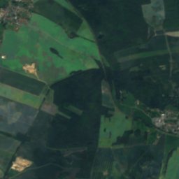
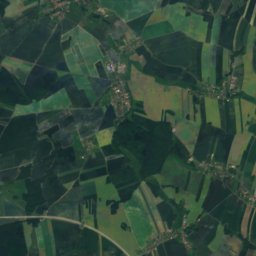
Schnellbach
Photo: Michael w · CC BY-SA 4.0 · Wikimedia Commons
SchnellbachReport this photo · linked, not stored
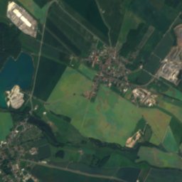
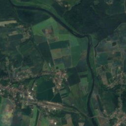
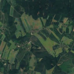
Schaddelgraben
Photo: Cookroach · CC BY-SA 4.0 · Wikimedia Commons
SchaddelgrabenReport this photo · linked, not stored
Schaddelgraben
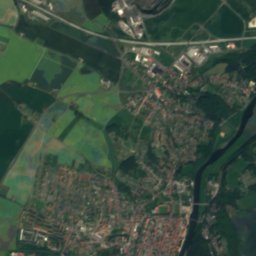
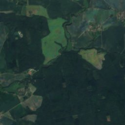
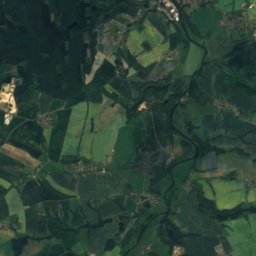
Gösel
Photo: Martin Geisler · CC BY-SA 3.0 · Wikimedia Commons
GöselReport this photo · linked, not stored
Gösel
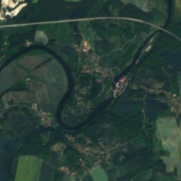
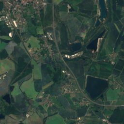
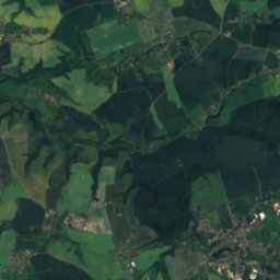
Herthasee, Saxony
Photo: Jwaller · CC BY-SA 4.0 · Wikimedia Commons
Herthasee, SaxonyReport this photo · linked, not stored
Herthasee, Saxony
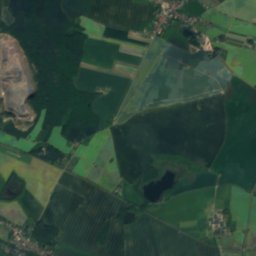
Gladegraben
Photo: Michael Wolf · CC BY-SA 4.0 · Wikimedia Commons
GladegrabenReport this photo · linked, not stored
Gladegraben
RiverGroßbardau, Saxony

Schnellbach

RiverBest May · Aug–Sep
Elevation–above sea level
Length4.6 kmsource to mouth
Nearest townGroßbardau2.0 km
51.22° N, 12.68° EUTC+2 · Central European Summer Time
When to goGroßbardau · weather score
JanFebMarAprMayJunJulAugSepOctNovDec50October
Best timeMay · Aug–Sep
October: high / low14° / 6°
River

Schnellbach in brief

Schnellbach is a river in Großbardau, Saxony, Germany.

The nearest town in the atlas is Großbardau, 2.0 km to the SE, where the weather is best in May, August and September.

Schnellbach is 4.6 km long.

Großbardau: weather and travel guide

Weather nearby now

Forecast for Großbardau
12°
Partly cloudy now
Wind16 km/h
Humidity61%
Cloud cover34%
Today
22 Oct
13°
7°
1 mm
Fri
23 Oct
14°
6°
1 mm
Sat
24 Oct
11°
6°
4 mm
Sun
25 Oct
13°
7°
9 mm
Mon
26 Oct
13°
7°

Model run 00:00 UTCRefreshed several times a day

When to go

The best months around Schnellbach

Climate of Großbardau

Month score in Großbardau

Comfort, dry days and sunshine · out of 100
18
Jan
26
Feb
25
Mar
62
Apr
69
May
68
Jun
64
Jul
69
Aug
73
Sep
50
Oct
23
Nov
18
Dec
Map

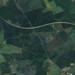
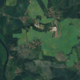
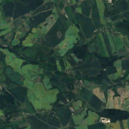
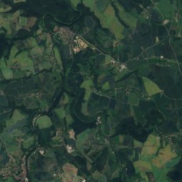
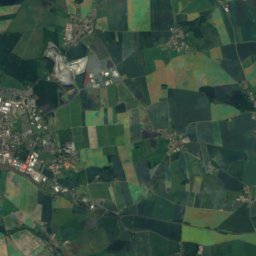
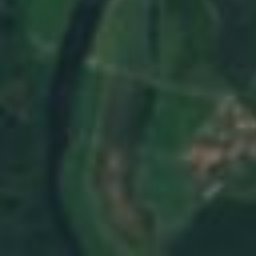
Schnellbach from above

Nature nearbyAll of Germany
Photo: Cookroach · CC BY-SA 4.0 · Wikimedia CommonsReport this photo · linked, not stored
SchaddelgrabenRiver4.8 kmESchaddelgraben
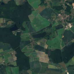
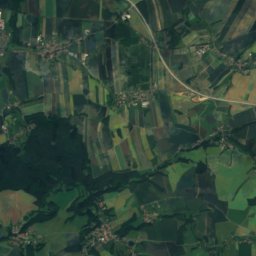
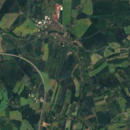
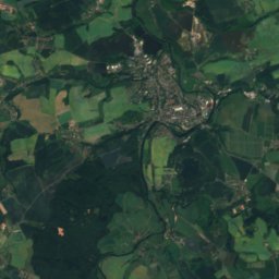
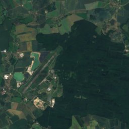
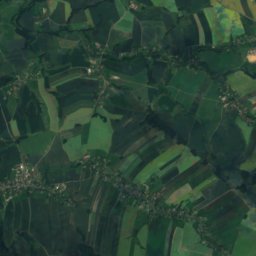
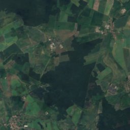
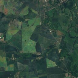
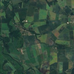
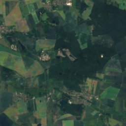
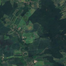
Satellite: Sentinel-2 cloudless 2016 by EOX IT Services GmbH · CC BY 4.0 · Contains modified Copernicus Sentinel data 2016
SorbenhöhleCave5.1 kmSESorbenhöhle
Photo: Martin Geisler · CC BY-SA 3.0 · Wikimedia CommonsReport this photo · linked, not stored
GöselRiver7.6 kmSWGösel
Photo: Jwaller · CC BY-SA 4.0 · Wikimedia CommonsReport this photo · linked, not stored
Herthasee, SaxonyLake7.9 kmNEHerthasee, Saxony
Photo: Michael Wolf · CC BY-SA 4.0 · Wikimedia CommonsReport this photo · linked, not stored
GladegrabenRiver8.4 kmNWGladegraben
Photo: Derbrauni · CC BY-SA 4.0 · Wikimedia CommonsReport this photo · linked, not stored
Naunhofer SeeLake10 kmNWNaunhofer See
Summits nearbyMountains of Germany
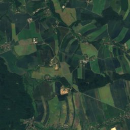
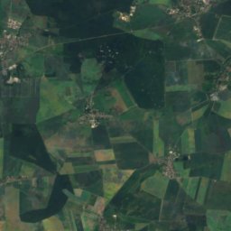
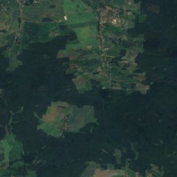
Satellite: Sentinel-2 cloudless 2016 by EOX IT Services GmbH · CC BY 4.0 · Contains modified Copernicus Sentinel data 2016
Rochlitzer Berg22 km S353 mJuly 24°Rochlitzer Berg
Photo: Jwaller · CC BY-SA 3.0 · Wikimedia CommonsReport this photo · linked, not stored
Collmberg25 km E313 mJuly 25°Collmberg
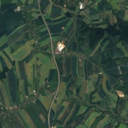
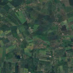
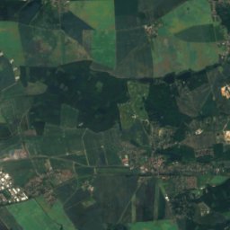
Satellite: Sentinel-2 cloudless 2016 by EOX IT Services GmbH · CC BY 4.0 · Contains modified Copernicus Sentinel data 2016
Löbenberg24 km N240 mJuly 25°Löbenberg
Photo: Cookroach · CC BY-SA 4.0 · Wikimedia CommonsReport this photo · linked, not stored
Steinhübel10 km SE223 mJuly 25°Steinhübel
Photo: Cookroach · CC BY-SA 4.0 · Wikimedia CommonsReport this photo · linked, not stored
Bockberg im Klosterholz3.6 km SE198 mJuly 25°Bockberg im Klosterholz
Photo: Cookroach · CC BY-SA 4.0 · Wikimedia CommonsReport this photo · linked, not stored
Totenberg, Saxony3.0 km SE183 mJuly 25°Totenberg, Saxony
Stay nearby

Towns close by

Großbardau
Photo: Cmuelle8 · CC0 · Wikimedia CommonsReport this photo · linked, not stored

Großbardau

Saxony · 2.0 km SE
14°Oct high
10wet days
50score
Großbardau
Grimma
Photo: Tilman2007 · CC BY-SA 3.0 · Wikimedia CommonsReport this photo · linked, not stored

Grimma

Saxony · 2.9 km NE
15°Oct high
10wet days
51score
Grimma
Otterwisch
Photo: Jwaller · CC BY-SA 3.0 · Wikimedia CommonsReport this photo · linked, not stored

Otterwisch

Saxony · 5.2 km SW
15°Oct high
10wet days
51score
Otterwisch
Großbothen
Photo: Brück & Sohn Kunstverlag Meißen · CC0 · Wikimedia CommonsReport this photo · linked, not stored

Großbothen

Saxony · 5.9 km SE
15°Oct high
10wet days
51score
Großbothen
Around here

Großbardau and around

Großbardau
Photo: Cmuelle8 · CC0 · Wikimedia CommonsReport this photo · linked, not stored

Großbardau

Saxony · Germany
May · Aug–Sepbest months
25°July high
161 maltitude
Großbardau

Nature

Mulde
Photo: Alma · CC BY-SA 2.5 · Wikimedia CommonsReport this photo · linked, not stored
8.5 km SE

Mulde

River · 60 m
Mulde
Zwickau Mulde
Photo: André Karwath aka Aka · CC BY-SA 2.5 · Wikimedia CommonsReport this photo · linked, not stored
8.5 km SE

Zwickau Mulde

River
Zwickau Mulde
Gösel
Photo: Martin Geisler · CC BY-SA 3.0 · Wikimedia CommonsReport this photo · linked, not stored
7.8 km W

Gösel

River
Gösel

Mountains

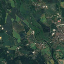
Satellite: Sentinel-2 cloudless 2016 by EOX IT Services GmbH · CC BY 4.0 · Contains modified Copernicus Sentinel data 2016
20 km S

Rochlitzer Berg

353 m
Rochlitzer Berg
Treppenhauer
Photo: HsBerlin01 · CC BY-SA 3.0 · Wikimedia CommonsReport this photo · linked, not stored
37 km SE

Treppenhauer

351 m
Treppenhauer
Collmberg
Photo: Jwaller · CC BY-SA 3.0 · Wikimedia CommonsReport this photo · linked, not stored
24 km NE

Collmberg

313 m
Collmberg

Heritage

Satellite: Sentinel-2 cloudless 2016 by EOX IT Services GmbH · CC BY 4.0 · Contains modified Copernicus Sentinel data 2016
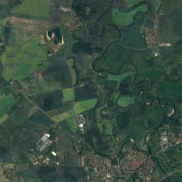
0.2 km W

Dorfkirche Großbardau

heritage monument in Saxony · 1201
Dorfkirche Großbardau
Colditz Castle
Photo: SKOMP46866 · CC BY 3.0 · Wikimedia CommonsReport this photo · linked, not stored
11 km SE

Colditz Castle

heritage monument in Saxony
Colditz Castle
Dorfkirche Otterwisch
Photo: Jwaller · CC BY-SA 3.0 · Wikimedia CommonsReport this photo · linked, not stored
6.2 km W

Dorfkirche Otterwisch

heritage monument in Saxony · 1201
Dorfkirche Otterwisch

Museums

Stadtgut Grimma
Photo: Tilman2007 · CC BY-SA 3.0 · Wikimedia CommonsReport this photo · linked, not stored
3.7 km NE

Stadtgut Grimma

Stadtgut Grimma
Satellite: Sentinel-2 cloudless 2016 by EOX IT Services GmbH · CC BY 4.0 · Contains modified Copernicus Sentinel data 2016
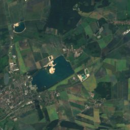
3.8 km E

Museum Wassermühle Höfgen

Museum Wassermühle Höfgen
Grimma District Museum
Photo: Radler59 (talk) · CC BY-SA 4.0 · Wikimedia CommonsReport this photo · linked, not stored
4.1 km NE

Grimma District Museum

1817
Grimma District Museum