Skip to content
Destinations
Weather & climate
Nature
Outdoors
Culture
Events
Sky & live
Schmutterweiher
Photo: Gras-Ober, Wikipedia/Wikimedia Commons (cc-by-sa-3.0) · CC BY-SA 3.0 · Wikimedia Commons
SchmutterweiherReport this photo · linked, not stored
Langenwalder Weiher
Photo: Bruno413 · CC0 · Wikimedia Commons
Langenwalder WeiherReport this photo · linked, not stored
Langenwalder Weiher
Lechstaustufe 2 – Prem
Photo: Carsten Steger · CC BY-SA 4.0 · Wikimedia Commons
Lechstaustufe 2 – PremReport this photo · linked, not stored
Lechstaustufe 2 – Prem
Kinsegger Weiher
Photo: Franzfoto · CC BY-SA 3.0 · Wikimedia Commons
Kinsegger WeiherReport this photo · linked, not stored
Kinsegger Weiher
Halblech
Photo: Hubert Berberich (HubiB) · CC BY 3.0 · Wikimedia Commons
HalblechReport this photo · linked, not stored
Halblech
LakePrem, Bavaria

Schmutterweiher

Lake784 m elevationBest Jun–Aug
Elevation784 mabove sea level
Area0.2 km²surface
Nearest townPrem3.3 km
47.67° N, 10.76° EElevation 784 mUTC+1 · Central European Standard Time
When to goPrem · weather score
JanFebMarAprMayJunJulAugSepOctNovDec45October
Best timeJun–Aug
October: high / low14° / 4°
Lake

Schmutterweiher in brief

Schmutterweiher is a lake in Prem, Bavaria, Germany.

It lies at 784 m above sea level and covers about 0.2 km².

The nearest town is Prem, 3.3 km to the E, where the weather is best in June, July and August.

Prem: weather and travel guide

Weather nearby now

Forecast for Prem
9°
Rain now
Wind11 km/h
Humidity99%
Cloud cover100%
Today
28 Oct
10°
5°
6 mm
Thu
29 Oct
10°
3°
Fri
30 Oct
8°
2°
Sat
31 Oct
8°
1°
Sun
1 Nov
6°
3°
3 mm

Model run 00:00 UTCRefreshed several times a day

The lake's water

Surface, average depth and volume of the lake, and the length of its shore.
Surface0.2 km²
Average depth4 m
Volume1 million m³
Shoreline2.3 km
average depth 4 msurface at 784 m
When to go

The best months around Schmutterweiher

Climate of Prem

Month score in Prem

Comfort, dry days and sunshine · out of 100
20
Jan
25
Feb
20
Mar
46
Apr
62
May
64
Jun
66
Jul
65
Aug
64
Sep
45
Oct
27
Nov
20
Dec
Map

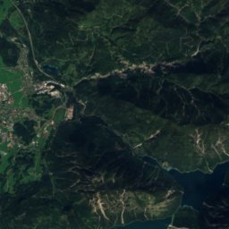
Schmutterweiher from above

Nature nearbyAll of Germany
Photo: Bruno413 · CC0 · Wikimedia CommonsReport this photo · linked, not stored
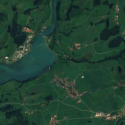
Langenwalder WeiherLake1.9 kmNWLangenwalder Weiher
Photo: Carsten Steger · CC BY-SA 4.0 · Wikimedia CommonsReport this photo · linked, not stored
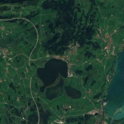
Lechstaustufe 2 – PremLake2.1 kmELechstaustufe 2 – Prem
Photo: Franzfoto · CC BY-SA 3.0 · Wikimedia CommonsReport this photo · linked, not stored
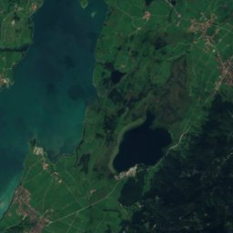
Kinsegger WeiherLake2.2 kmNWKinsegger Weiher
Photo: Hubert Berberich (HubiB) · CC BY 3.0 · Wikimedia CommonsReport this photo · linked, not stored
HalblechRiver2.5 kmSEHalblech
Photo: Flodur63 · CC BY-SA 4.0 · Wikimedia CommonsReport this photo · linked, not stored
IllasbergseeLake3.5 kmSIllasbergsee
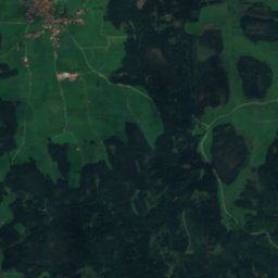
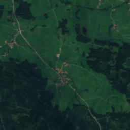
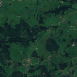
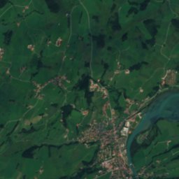
Satellite: Sentinel-2 cloudless 2016 by EOX IT Services GmbH · CC BY 4.0 · Contains modified Copernicus Sentinel data 2016
Langegger WeiherLake4.4 kmNLangegger Weiher
Summits nearbyMountains of Germany
Photo: Luidger · CC BY-SA 3.0 · Wikimedia CommonsReport this photo · linked, not stored
Kellenspitze22 km SW2,238 mJuly 14°Kellenspitze
Photo: Luidger · CC BY-SA 3.0 · Wikimedia CommonsReport this photo · linked, not stored
Kreuzspitze20 km SE2,185 mJuly 13°Kreuzspitze
Photo: Gohnarch · CC BY-SA 3.0 · Wikimedia CommonsReport this photo · linked, not stored
Gimpel22 km SW2,173 mJuly 15°Gimpel
Photo: Wilfredor · CC0 · Wikimedia CommonsReport this photo · linked, not stored
Gehrenspitze (Allgäu Alps)21 km S2,163 mJuly 15°Gehrenspitze (Allgäu Alps)
Satellite: Sentinel-2 cloudless 2016 by EOX IT Services GmbH · CC BY 4.0 · Contains modified Copernicus Sentinel data 2016
Geierköpfe19 km SE2,161 mJuly 14°Geierköpfe
Photo: Richard Mayer · CC BY 3.0 · Wikimedia CommonsReport this photo · linked, not stored
Rote Flüh22 km SW2,108 mJuly 15°Rote Flüh
Stay nearby

Towns close by

Prem
Photo: Flodur63 · CC BY-SA 3.0 · Wikimedia CommonsReport this photo · linked, not stored

Prem

Bavaria · 3.3 km E
14°Oct high
12wet days
45score
Prem
Lechbruck
Photo: Gras-Ober, Wikipedia/Wikimedia Commons (cc-by-sa-3.0) · CC BY-SA 3.0 · Wikimedia CommonsReport this photo · linked, not stored

Lechbruck

Bavaria · 4.1 km NE
14°Oct high
12wet days
45score
Lechbruck
Roßhaupten
Photo: Flodur63 · CC BY-SA 4.0 · Wikimedia CommonsReport this photo · linked, not stored

Roßhaupten

Bavaria · 4.1 km SW
13°Oct high
12wet days
43score
Roßhaupten
Halblech
Photo: HaSe · CC BY-SA 4.0 · Wikimedia CommonsReport this photo · linked, not stored

Halblech

Bavaria · 6.7 km SE
14°Oct high
12wet days
44score
Halblech
Around here

Prem and around

Prem
Photo: Flodur63 · CC BY-SA 3.0 · Wikimedia CommonsReport this photo · linked, not stored

Prem

Bavaria · Germany
Jun–Augbest months
23°July high
733 maltitude
Prem

Nature

Forggensee
Photo: Carsten Steger · CC BY-SA 4.0 · Wikimedia CommonsReport this photo · linked, not stored
8.8 km SW

Forggensee

Lake · 785 m
Forggensee
Bannwaldsee
Photo: Omnidom 999 · CC BY-SA 3.0 · Wikimedia CommonsReport this photo · linked, not stored
9.3 km S

Bannwaldsee

Lake · 786 m
Bannwaldsee
Halblech
Photo: Hubert Berberich (HubiB) · CC BY 3.0 · Wikimedia CommonsReport this photo · linked, not stored
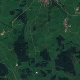
3.1 km SW

Halblech

River
Halblech

Mountains

Zugspitze
Photo: Tuxyso / Wikimedia Commons / CC-BY-SA-4.0 · CC BY-SA 4.0 · Wikimedia CommonsReport this photo · linked, not stored
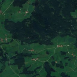
32 km SE

Zugspitze

2,962 m · Wetterstein
Zugspitze
Schneefernerkopf
Photo: Herbert Rieger · CC BY-SA 3.0 · Wikimedia CommonsReport this photo · linked, not stored
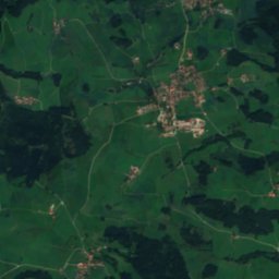
33 km SE

Schneefernerkopf

2,874 m · Wetterstein
Schneefernerkopf
Zugspitzeck
Photo: Michael Fiegle · CC BY-SA 3.0 · Wikimedia CommonsReport this photo · linked, not stored
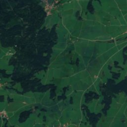
32 km SE

Zugspitzeck

2,815 m · Wetterstein
Zugspitzeck

Heritage

Mariä Heimsuchung, Lechbruck
Photo: GFreihalter · CC BY-SA 3.0 · Wikimedia CommonsReport this photo · linked, not stored
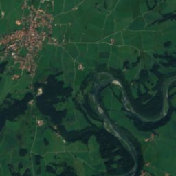
2.0 km N

Mariä Heimsuchung, Lechbruck

architectural heritage monument in Bavaria · 1788
Mariä Heimsuchung, Lechbruck
St. Michael, Prem
Photo: Ricardalovesmonuments · CC BY-SA 4.0 · Wikimedia CommonsReport this photo · linked, not stored
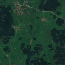
0.7 km S

St. Michael, Prem

architectural heritage monument in Bavaria
St. Michael, Prem
St. Wendelin, Lechbruck
Photo: Ricardalovesmonuments · CC BY-SA 4.0 · Wikimedia CommonsReport this photo · linked, not stored
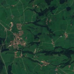
2.7 km W

St. Wendelin, Lechbruck

architectural heritage monument in Bavaria
St. Wendelin, Lechbruck

Museums

Flößermuseum, Lechbruck
Photo: Flodur63 · CC BY-SA 3.0 · Wikimedia CommonsReport this photo · linked, not stored
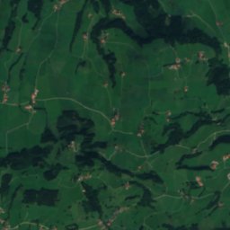
1.7 km N

Flößermuseum, Lechbruck

2005
Flößermuseum, Lechbruck
Auerbergmuseum im Kiebelehaus
Photo: Flodur63 · CC BY-SA 3.0 · Wikimedia CommonsReport this photo · linked, not stored
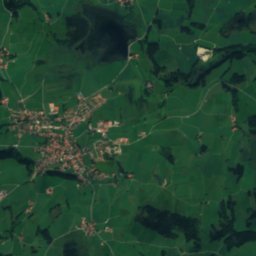
6.3 km N

Auerbergmuseum im Kiebelehaus

Regional museum
Auerbergmuseum im Kiebelehaus
Roßhaupten village museum
Photo: Bruno413 · CC BY-SA 4.0 · Wikimedia CommonsReport this photo · linked, not stored
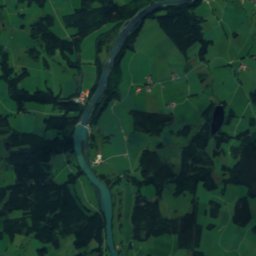
6.8 km SW

Roßhaupten village museum

Local museum · 1999
Roßhaupten village museum