Skip to content
Destinations
Weather & climate
Nature
Outdoors
Culture
Events
Sky & live
Schmalensee
Photo: Wusel007 · CC BY-SA 3.0 · Wikimedia Commons
SchmalenseeReport this photo · linked, not stored
Bornhöveder See
Photo: VollwertBIT · CC BY-SA 4.0 · Wikimedia Commons
Bornhöveder SeeReport this photo · linked, not stored
Bornhöveder See
Belauer See
Photo: Wusel007 · CC BY-SA 3.0 · Wikimedia Commons
Belauer SeeReport this photo · linked, not stored
Belauer See
Fuhlensee, Ruhwinkel
Photo: Wusel007 · CC BY-SA 3.0 · Wikimedia Commons
Fuhlensee, RuhwinkelReport this photo · linked, not stored
Fuhlensee, Ruhwinkel
Schierensee, Ruhwinkel
Photo: Wusel007 · CC BY-SA 3.0 · Wikimedia Commons
Schierensee, RuhwinkelReport this photo · linked, not stored
Schierensee, Ruhwinkel
LakeSchmalensee, Schleswig-Holstein

Schmalensee

Lake27 m elevationBest May–Jun · Sep
Elevation27 mabove sea level
Area0.9 km²surface
Nearest townSchmalensee1.1 km
54.09° N, 10.25° EElevation 27 mUTC+1 · Central European Standard Time
When to goSchmalensee · weather score
JanFebMarAprMayJunJulAugSepOctNovDec36October
Best timeMay–Jun · Sep
October: high / low13° / 6°
Lake

Schmalensee in brief

Schmalensee is a lake in Schmalensee, Schleswig-Holstein, Germany.

It lies at 27 m above sea level and covers about 0.9 km².

The nearest town is Schmalensee, 1.1 km to the E, where the weather is best in May, June and September.

Schmalensee: weather and travel guide

Weather nearby now

Forecast for Schmalensee
9°
Cloudy now
Wind7 km/h
Humidity100%
Cloud cover100%
Today
30 Oct
13°
5°
Sat
31 Oct
12°
6°
Sun
1 Nov
9°
4°
Mon
2 Nov
11°
5°
4 mm
Tue
3 Nov
12°
5°

Model run 12:00 UTCRefreshed several times a day

The lake's water

Surface, average depth and volume of the lake, and the length of its shore.
Surface0.9 km²
Average depth3 m
Volume2 million m³
Shoreline5.2 km
average depth 3 msurface at 27 m
When to go

The best months around Schmalensee

Climate of Schmalensee

Month score in Schmalensee

Comfort, dry days and sunshine · out of 100
13
Jan
23
Feb
28
Mar
53
Apr
71
May
71
Jun
65
Jul
65
Aug
66
Sep
36
Oct
15
Nov
13
Dec
Map

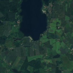
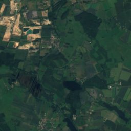
Schmalensee from above

Nature nearbyAll of Germany
Photo: VollwertBIT · CC BY-SA 4.0 · Wikimedia CommonsReport this photo · linked, not stored
Bornhöveder SeeLake1.0 kmSWBornhöveder See
Photo: Wusel007 · CC BY-SA 3.0 · Wikimedia CommonsReport this photo · linked, not stored
Belauer SeeLake1.7 kmNBelauer See
Photo: Wusel007 · CC BY-SA 3.0 · Wikimedia CommonsReport this photo · linked, not stored
Fuhlensee, RuhwinkelLake2.0 kmNWFuhlensee, Ruhwinkel
Photo: Wusel007 · CC BY-SA 3.0 · Wikimedia CommonsReport this photo · linked, not stored
Schierensee, RuhwinkelLake3.0 kmNWSchierensee, Ruhwinkel
Photo: Wusel007 · CC BY-SA 3.0 · Wikimedia CommonsReport this photo · linked, not stored
Stolper See, Schleswig-HolsteinLake4.9 kmNStolper See, Schleswig-Holstein
Photo: Wusel007 · CC BY-SA 3.0 · Wikimedia CommonsReport this photo · linked, not stored
StockseeLake6.4 kmEStocksee
Summits nearbyMountains of Germany
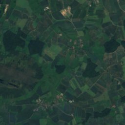
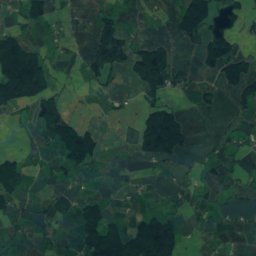
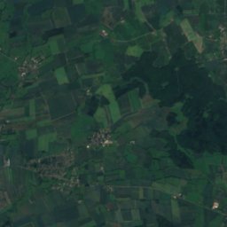
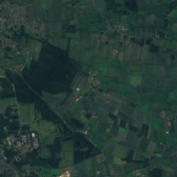
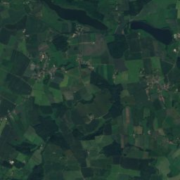
Satellite: Sentinel-2 cloudless 2016 by EOX IT Services GmbH · CC BY 4.0 · Contains modified Copernicus Sentinel data 2016
Grimmelsberg3.3 km SE83 mJuly 23°Grimmelsberg
Stay nearby

Towns close by

Schmalensee
Photo: Wusel007 · CC BY-SA 3.0 · Wikimedia CommonsReport this photo · linked, not stored

Schmalensee

Schleswig-Holstein · 1.1 km E
13°Oct high
13wet days
36score
Schmalensee
Belau
Photo: Christian der Vierte · CC BY-SA 4.0 · Wikimedia CommonsReport this photo · linked, not stored

Belau

Schleswig-Holstein · 1.4 km N
13°Oct high
13wet days
36score
Belau
Ruhwinkel
Photo: Geraldolaf1 · CC BY-SA 3.0 · Wikimedia CommonsReport this photo · linked, not stored

Ruhwinkel

Schleswig-Holstein · 2.4 km W
13°Oct high
13wet days
36score
Ruhwinkel
Bornhöved
Photo: Jan Hendrik Hansen · CC BY-SA 3.0 · Wikimedia CommonsReport this photo · linked, not stored

Bornhöved

Schleswig-Holstein · 2.6 km SW
13°Oct high
13wet days
36score
Bornhöved
Around here

Schmalensee and around

Schmalensee
Photo: Wusel007 · CC BY-SA 3.0 · Wikimedia CommonsReport this photo · linked, not stored

Schmalensee

Schleswig-Holstein · Germany
May–Jun · Sepbest months
23°July high
41 maltitude
Schmalensee

Nature

Eider
Photo: self · Public domain · Wikimedia CommonsReport this photo · linked, not stored
11 km NW

Eider

River
Eider
Stör
Photo: Ra Boe / Wikipedia · CC BY-SA 3.0 de · Wikimedia CommonsReport this photo · linked, not stored
12 km SW

Stör

River
Stör
Stolper See, Schleswig-Holstein
Photo: Wusel007 · CC BY-SA 3.0 · Wikimedia CommonsReport this photo · linked, not stored
5.6 km NW

Stolper See, Schleswig-Holstein

Lake · 28 m
Stolper See, Schleswig-Holstein

Mountains

Bungsberg
Photo: Jörg Braukmann · CC BY-SA 3.0 · Wikimedia CommonsReport this photo · linked, not stored
33 km NE

Bungsberg

168 m
Bungsberg
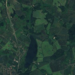
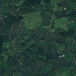
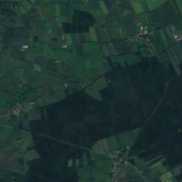
Satellite: Sentinel-2 cloudless 2016 by EOX IT Services GmbH · CC BY 4.0 · Contains modified Copernicus Sentinel data 2016
2.8 km S

Grimmelsberg

83 m
Grimmelsberg
Box-Berg
Photo: Wusel007 · CC BY-SA 3.0 · Wikimedia CommonsReport this photo · linked, not stored
35 km W

Box-Berg

77 m
Box-Berg

Heritage

Evangelische Kirche Wankendorf
Photo: Christian Alexander Tietgen · CC BY 4.0 · Wikimedia CommonsReport this photo · linked, not stored
5.6 km NW

Evangelische Kirche Wankendorf

Heritage monument in Schleswig-Holstein
Evangelische Kirche Wankendorf
Saint Nicholas Church, Plön
Photo: Stefan Frerichs (Stefan (Diskussion) 20:30, 18. Aug. 2014 (CEST)) · CC BY-SA 3.0 de · Wikimedia CommonsReport this photo · linked, not stored
13 km NE

Saint Nicholas Church, Plön

Heritage monument in Schleswig-Holstein
Saint Nicholas Church, Plön
Torhaus Seedorf
Photo: Genet · CC BY-SA 3.0 · Wikimedia CommonsReport this photo · linked, not stored
9.7 km E

Torhaus Seedorf

Heritage monument in Schleswig-Holstein · 1583
Torhaus Seedorf

Museums

Museum des Kreises Plön mit norddeutscher Glassammlung
Photo: Orf3us · CC BY-SA 4.0 · Wikimedia CommonsReport this photo · linked, not stored
12 km NE

Museum des Kreises Plön mit norddeutscher Glassammlung
Museum des Kreises Plön mit norddeutscher Glassammlung
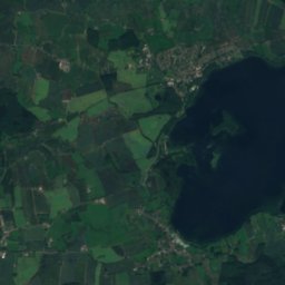
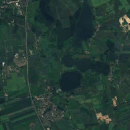
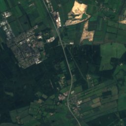
Satellite: Sentinel-2 cloudless 2016 by EOX IT Services GmbH · CC BY 4.0 · Contains modified Copernicus Sentinel data 2016
6.2 km NW

Urzeithof Museum und Hofcafé

Urzeithof Museum und Hofcafé
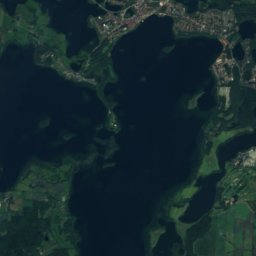
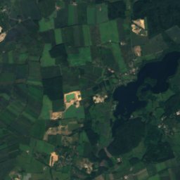
Satellite: Sentinel-2 cloudless 2016 by EOX IT Services GmbH · CC BY 4.0 · Contains modified Copernicus Sentinel data 2016
6.2 km NW

Kräutermuseum Stolpe

Kräutermuseum Stolpe