Skip to content
Destinations
Weather & climate
Nature
Outdoors
Culture
Events
Sky & live
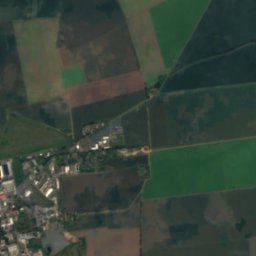
Rot, Thuringia
Photo: CTHOE · CC BY-SA 3.0 · Wikimedia Commons
Rot, ThuringiaReport this photo · linked, not stored
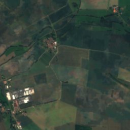
Rettbach
Photo: CTHOE · CC BY-SA 3.0 · Wikimedia Commons
RettbachReport this photo · linked, not stored
Rettbach
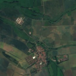
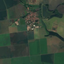
Apfelstädt
Photo: A.Savin · FAL · Wikimedia Commons
ApfelstädtReport this photo · linked, not stored
Apfelstädt
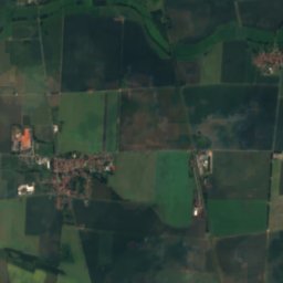
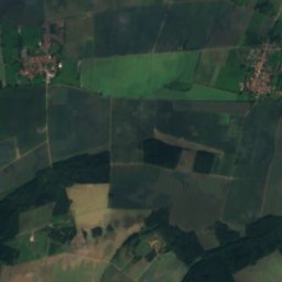
Wipfra
Photo: Michael Sander · CC BY-SA 3.0 · Wikimedia Commons
WipfraReport this photo · linked, not stored
Wipfra
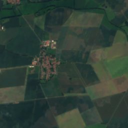
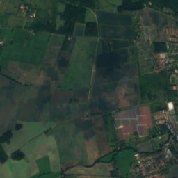
Siebleber Teich
Photo: CTHOE · CC BY-SA 3.0 · Wikimedia Commons
Siebleber TeichReport this photo · linked, not stored
Siebleber Teich
RiverWandersleben, Thuringia

Rot, Thuringia

RiverBest Jun · Aug–Sep
Elevation–above sea level
Length12 kmsource to mouth
Nearest townWandersleben1.0 km
50.90° N, 10.86° EUTC+2 · Central European Summer Time
When to goWandersleben · weather score
JanFebMarAprMayJunJulAugSepOctNovDec44October
Best timeJun · Aug–Sep
October: high / low14° / 5°
River

Rot, Thuringia in brief

Rot, Thuringia is a river in Wandersleben, Thuringia, Germany.

The nearest town in the atlas is Wandersleben, 1.0 km to the W, where the weather is best in June, August and September.

Rot, Thuringia is 12 km long.

Wandersleben: weather and travel guide

Weather nearby now

Forecast for Wandersleben
11°
Cloudy now
Wind21 km/h
Humidity60%
Cloud cover100%
Today
23 Oct
12°
6°
1 mm
Sat
24 Oct
10°
5°
6 mm
Sun
25 Oct
14°
7°
16 mm
Mon
26 Oct
13°
6°
Tue
27 Oct
16°
8°

Model run 12:00 UTCRefreshed several times a day

When to go

The best months around Rot, Thuringia

Climate of Wandersleben

Month score in Wandersleben

Comfort, dry days and sunshine · out of 100
16
Jan
25
Feb
25
Mar
57
Apr
66
May
67
Jun
65
Jul
68
Aug
72
Sep
44
Oct
22
Nov
14
Dec
Map

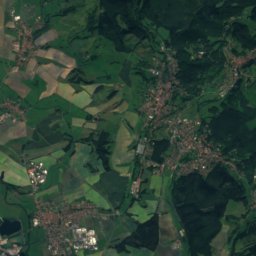
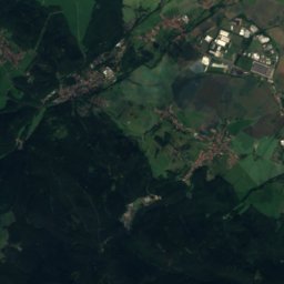
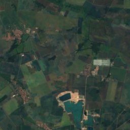
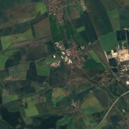
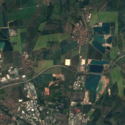
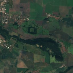
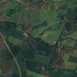
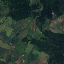
Rot, Thuringia from above

Nature nearbyAll of Germany
Photo: CTHOE · CC BY-SA 3.0 · Wikimedia CommonsReport this photo · linked, not stored
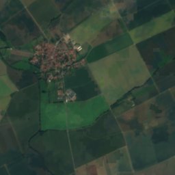
RettbachRiver3.0 kmNWRettbach
Photo: A.Savin · FAL · Wikimedia CommonsReport this photo · linked, not stored
ApfelstädtRiver7.6 kmEApfelstädt
Photo: Michael Sander · CC BY-SA 3.0 · Wikimedia CommonsReport this photo · linked, not stored
WipfraRiver8.0 kmEWipfra
Photo: CTHOE · CC BY-SA 3.0 · Wikimedia CommonsReport this photo · linked, not stored
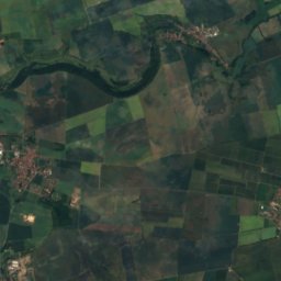
Siebleber TeichLake8.0 kmNWSiebleber Teich
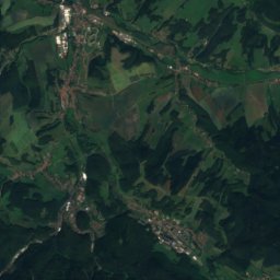
Satellite: Sentinel-2 cloudless 2016 by EOX IT Services GmbH · CC BY 4.0 · Contains modified Copernicus Sentinel data 2016
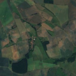
LeinakanalRiver12 kmNWLeinakanal
Photo: Nattr · CC BY 4.0 · Wikimedia CommonsReport this photo · linked, not stored
EspachteichLake13 kmNEEspachteich
Summits nearbyMountains of Germany
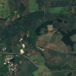
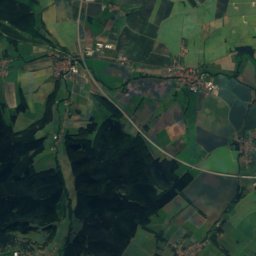
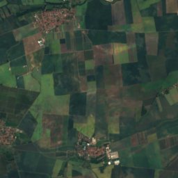
Satellite: Sentinel-2 cloudless 2016 by EOX IT Services GmbH · CC BY 4.0 · Contains modified Copernicus Sentinel data 2016
Heuberg, Thuringia25 km W719 mJuly 21°Heuberg, Thuringia
Photo: Michael Sander · CC BY-SA 3.0 · Wikimedia CommonsReport this photo · linked, not stored
Pörlitzer Höhe23 km S580 mJuly 22°Pörlitzer Höhe
Photo: Martin R.J. Boeselt · CC BY-SA 4.0 · Wikimedia CommonsReport this photo · linked, not stored
Veronika-Berg19 km S552 mJuly 23°Veronika-Berg
Photo: Nadine Machalett · CC BY-SA 4.0 · Wikimedia CommonsReport this photo · linked, not stored
Willinger Berg19 km SE502 mJuly 23°Willinger Berg
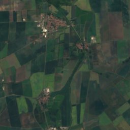
Satellite: Sentinel-2 cloudless 2016 by EOX IT Services GmbH · CC BY 4.0 · Contains modified Copernicus Sentinel data 2016
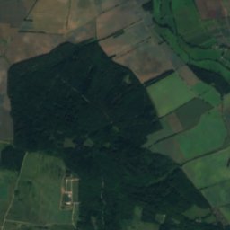
Alacher Höhe12 km NE329 mJuly 24°Alacher Höhe
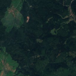
Satellite: Sentinel-2 cloudless 2016 by EOX IT Services GmbH · CC BY 4.0 · Contains modified Copernicus Sentinel data 2016
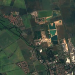
Orgelberg6.5 km E258 mJuly 25°Orgelberg
Stay nearby

Towns close by

Wandersleben
Photo: Mazbln · CC BY-SA 3.0 · Wikimedia CommonsReport this photo · linked, not stored

Wandersleben

Thuringia · 1.0 km W
14°Oct high
11wet days
44score
Wandersleben
Apfelstädt
Photo: CTHOE · CC BY-SA 3.0 · Wikimedia CommonsReport this photo · linked, not stored

Apfelstädt

Thuringia · 1.9 km E
14°Oct high
11wet days
45score
Apfelstädt
Neudietendorf
Photo: CTHOE · CC BY-SA 3.0 · Wikimedia CommonsReport this photo · linked, not stored

Neudietendorf

Thuringia · 3.8 km E
14°Oct high
11wet days
45score
Neudietendorf
Grabsleben
Photo: CTHOE · CC BY-SA 3.0 · Wikimedia CommonsReport this photo · linked, not stored

Grabsleben

Thuringia · 4.4 km NW
14°Oct high
11wet days
44score
Grabsleben
Around here

Wandersleben and around

Wandersleben
Photo: Mazbln · CC BY-SA 3.0 · Wikimedia CommonsReport this photo · linked, not stored

Wandersleben

Thuringia · Germany
Jun · Aug–Sepbest months
24°July high
265 maltitude
Wandersleben

Nature

Apfelstädt
Photo: A.Savin · FAL · Wikimedia CommonsReport this photo · linked, not stored
8.6 km E

Apfelstädt

River · 221 m
Apfelstädt
Wipfra
Photo: Michael Sander · CC BY-SA 3.0 · Wikimedia CommonsReport this photo · linked, not stored
8.8 km E

Wipfra

River
Wipfra
Rettbach
Photo: CTHOE · CC BY-SA 3.0 · Wikimedia CommonsReport this photo · linked, not stored
2.6 km NW

Rettbach

River
Rettbach

Mountains

Großer Beerberg
Photo: Elop · CC BY-SA 2.5 · Wikimedia CommonsReport this photo · linked, not stored
28 km S

Großer Beerberg

983 m · Thuringian Forest
Großer Beerberg
Großer Finsterberg
Photo: Elop · CC BY-SA 2.5 · Wikimedia CommonsReport this photo · linked, not stored
29 km S

Großer Finsterberg

944 m · Thuringian Forest
Großer Finsterberg
Großer Inselsberg
Photo: Metilsteiner · CC BY-SA 3.0 · Wikimedia CommonsReport this photo · linked, not stored
27 km W

Großer Inselsberg

917 m · Thuringian Forest
Großer Inselsberg

Heritage

Henningshof
Photo: CTHOE · CC BY-SA 3.0 · Wikimedia CommonsReport this photo · linked, not stored
0.3 km S

Henningshof

Kulturdenkmal
Henningshof
St. Petri (Wandersleben)
Photo: Wikswat · CC BY-SA 3.0 · Wikimedia CommonsReport this photo · linked, not stored
0.4 km SE

St. Petri (Wandersleben)

Heritage monument in Thuringia
St. Petri (Wandersleben)
St. Walpurgis (Apfelstädt)
Photo: Wikswat · CC BY-SA 3.0 · Wikimedia CommonsReport this photo · linked, not stored
2.7 km E

St. Walpurgis (Apfelstädt)

Heritage monument in Thuringia
St. Walpurgis (Apfelstädt)

Museums

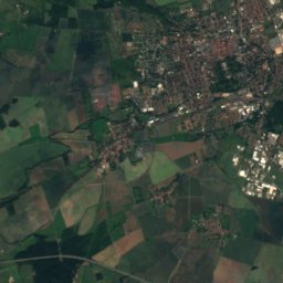
Satellite: Sentinel-2 cloudless 2016 by EOX IT Services GmbH · CC BY 4.0 · Contains modified Copernicus Sentinel data 2016
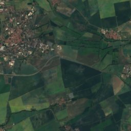
2.2 km S

Burg Gleichen

Burg Gleichen
Ducal Museum Gotha
Photo: Krzysztof Golik · CC BY-SA 4.0 · Wikimedia CommonsReport this photo · linked, not stored
11 km NW

Ducal Museum Gotha

Art museum · 1879
Ducal Museum Gotha
Tobiashammer
Photo: Miebner · CC BY-SA 3.0 · Wikimedia CommonsReport this photo · linked, not stored
14 km SW

Tobiashammer

1482
Tobiashammer