Skip to content
Destinations
Weather & climate
Nature
Outdoors
Culture
Events
Sky & live
Rögnitz
Photo: Niteshift (talk) · CC BY 3.0 · Wikimedia Commons
RögnitzReport this photo · linked, not stored
Krainke
Photo: Christian Fischer · CC BY-SA 3.0 · Wikimedia Commons
KrainkeReport this photo · linked, not stored
Krainke
Schaale
Photo: KarGer · CC BY-SA 4.0 · Wikimedia Commons
SchaaleReport this photo · linked, not stored
Schaale
Probst Jesar See
Photo: Janosch121 · CC BY-SA 3.0 · Wikimedia Commons
Probst Jesar SeeReport this photo · linked, not stored
Probst Jesar See
RiverBrahlstorf, Mecklenburg-Vorpommern

Rögnitz

RiverBest May–Jun · Sep
Elevation–above sea level
Length52 kmsource to mouth
Nearest townBrahlstorf5.2 km
53.32° N, 10.95° EUTC+1 · Central European Standard Time
When to goBrahlstorf · weather score
JanFebMarAprMayJunJulAugSepOctNovDec44October
Best timeMay–Jun · Sep
October: high / low14° / 6°
River

Rögnitz in brief

Rögnitz is a river in Brahlstorf, Mecklenburg-Vorpommern, Germany.

It covers about 542 km².

The nearest town is Brahlstorf, 5.2 km to the N, where the weather is best in May, June and September.

Rögnitz is 52 km long.

Brahlstorf: weather and travel guide

Weather nearby now

Forecast for Brahlstorf
9°
Cloudy now
Wind7 km/h
Humidity99%
Cloud cover100%
Today
31 Oct
13°
7°
Sun
1 Nov
11°
3°
Mon
2 Nov
8°
5°
1 mm
Tue
3 Nov
10°
3°
Wed
4 Nov
10°
1°

Model run 12:00 UTCRefreshed several times a day

The course of the river

As mapped in OpenStreetMap, with the towns along its banks.
1
  1. 1Göhlen27 m
sourcemouth (or where the mapped line leaves the country)
When to go

The best months around Rögnitz

Climate of Brahlstorf

Month score in Brahlstorf

Comfort, dry days and sunshine · out of 100
14
Jan
21
Feb
26
Mar
55
Apr
71
May
67
Jun
64
Jul
65
Aug
71
Sep
44
Oct
18
Nov
13
Dec
Map

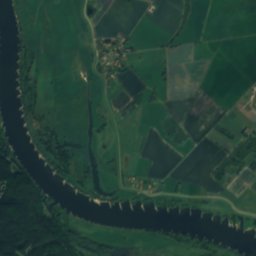
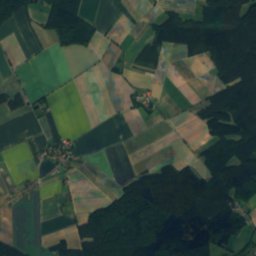
Rögnitz from above

Nature nearbyAll of Germany
Photo: Christian Fischer · CC BY-SA 3.0 · Wikimedia CommonsReport this photo · linked, not stored
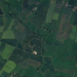
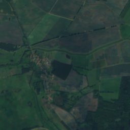
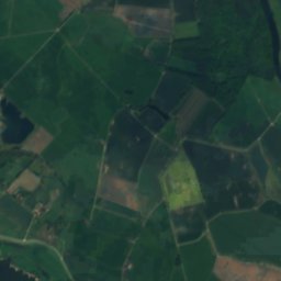
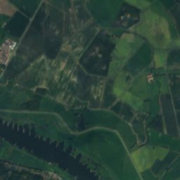
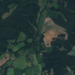
KrainkeRiver5.0 kmNWKrainke
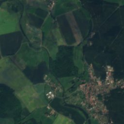
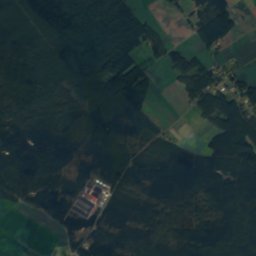
Satellite: Sentinel-2 cloudless 2016 by EOX IT Services GmbH · CC BY 4.0 · Contains modified Copernicus Sentinel data 2016
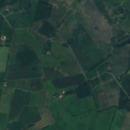
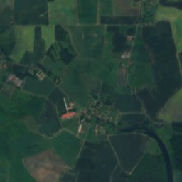
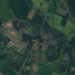
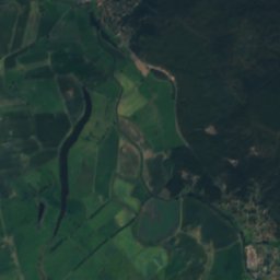
Sumter SeeLake5.7 kmSWSumter See
Photo: KarGer · CC BY-SA 4.0 · Wikimedia CommonsReport this photo · linked, not stored
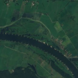
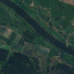
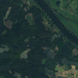
SchaaleRiver9.0 kmWSchaale
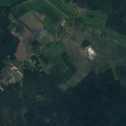
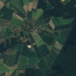
Satellite: Sentinel-2 cloudless 2016 by EOX IT Services GmbH · CC BY 4.0 · Contains modified Copernicus Sentinel data 2016
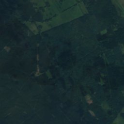
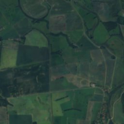
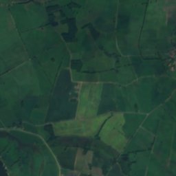
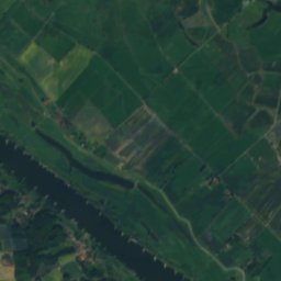
Zeetzer SeeLake9.7 kmSZeetzer See
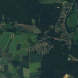
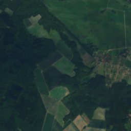
Satellite: Sentinel-2 cloudless 2016 by EOX IT Services GmbH · CC BY 4.0 · Contains modified Copernicus Sentinel data 2016
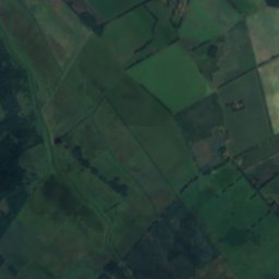
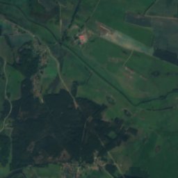
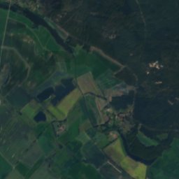
Kateminer MühlenbachRiver10 kmSWKateminer Mühlenbach
Photo: Janosch121 · CC BY-SA 3.0 · Wikimedia CommonsReport this photo · linked, not stored
Probst Jesar SeeLake12 kmEProbst Jesar See
Stay nearby

Towns close by

Brahlstorf
Photo: Radler59 (talk) · CC BY-SA 4.0 · Wikimedia CommonsReport this photo · linked, not stored

Brahlstorf

Mecklenburg-Vorpommern · 5.2 km N
14°Oct high
11wet days
44score
Brahlstorf
Besitz
Photo: Niteshift (talk) · CC BY 3.0 · Wikimedia CommonsReport this photo · linked, not stored

Besitz

Mecklenburg-Vorpommern · 6.6 km NW
14°Oct high
11wet days
44score
Besitz
Dersenow
Photo: I, DorisAntony · CC BY-SA 3.0 · Wikimedia CommonsReport this photo · linked, not stored

Dersenow

Mecklenburg-Vorpommern · 8.1 km NW
14°Oct high
11wet days
44score
Dersenow
Lübtheen
Photo: Ruchhöft-Plau · CC BY-SA 3.0 · Wikimedia CommonsReport this photo · linked, not stored

Lübtheen

Mecklenburg-Vorpommern · 9.1 km E
14°Oct high
11wet days
44score
Lübtheen
Around here

Brahlstorf and around

Brahlstorf
Photo: Radler59 (talk) · CC BY-SA 4.0 · Wikimedia CommonsReport this photo · linked, not stored

Brahlstorf

Mecklenburg-Vorpommern · Germany
May–Jun · Sepbest months
24°July high
14 maltitude
Brahlstorf

Nature

Schilde
Photo: Niteshift (talk) · CC BY 3.0 · Wikimedia CommonsReport this photo · linked, not stored
9.1 km NW

Schilde

River
Schilde
Schaale
Photo: KarGer · CC BY-SA 4.0 · Wikimedia CommonsReport this photo · linked, not stored
9.1 km W

Schaale

River
Schaale
Motel (Schilde)
Photo: Niteshift (talk) · CC BY-SA 3.0 · Wikimedia CommonsReport this photo · linked, not stored
11 km N

Motel (Schilde)

River
Motel (Schilde)

Mountains

Hoher Mechtin
Photo: Christian Fischer · CC BY-SA 3.0 · Wikimedia CommonsReport this photo · linked, not stored
36 km S

Hoher Mechtin

142 m
Hoher Mechtin

Heritage

Gut Düssin
Photo: Infestus 969 · CC BY-SA 3.0 · Wikimedia CommonsReport this photo · linked, not stored
2.0 km E

Gut Düssin

Kulturdenkmal
Gut Düssin
St. Trinitatis, Warlitz
Photo: Niteshift (talk) · CC BY 3.0 · Wikimedia CommonsReport this photo · linked, not stored
13 km E

St. Trinitatis, Warlitz

architectural heritage monument in Mecklenburg-Vorpommern
St. Trinitatis, Warlitz
Church in Melkof
Photo: Infestus 969 · CC BY-SA 3.0 · Wikimedia CommonsReport this photo · linked, not stored
4.8 km E

Church in Melkof

architectural heritage monument in Mecklenburg-Vorpommern
Church in Melkof