Skip to content
Destinations
Weather & climate
Nature
Outdoors
Culture
Events
Sky & live
Rode
Photo: ThBor · CC BY-SA 4.0 · Wikimedia Commons
RodeReport this photo · linked, not stored
Walse
Photo: Trimberg · CC BY-SA 4.0 · Wikimedia Commons
WalseReport this photo · linked, not stored
Walse
Lutter, Thuringia
Photo: Wolfgang Fritsch · CC0 · Wikimedia Commons
Lutter, ThuringiaReport this photo · linked, not stored
Lutter, Thuringia
Geislede
Photo: 79.214er · CC BY-SA 3.0 · Wikimedia Commons
GeisledeReport this photo · linked, not stored
Geislede
Berka
Photo: Heinz K. S. · CC BY-SA 4.0 · Wikimedia Commons
BerkaReport this photo · linked, not stored
Berka
RiverSchwobfeld, Thuringia

Rode

RiverBest Jul–Sep
Elevation–above sea level
Length9.3 kmsource to mouth
Nearest townSchwobfeld0.8 km
51.29° N, 10.10° EUTC+1 · Central European Standard Time
When to goSchwobfeld · weather score
JanFebMarAprMayJunJulAugSepOctNovDec35October
Best timeJul–Sep
October: high / low13° / 5°
River

Rode in brief

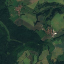
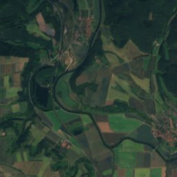
Rode is a river in Schwobfeld, Thuringia, Germany.

The nearest town is Schwobfeld, 0.8 km to the S, where the weather is best in July, August and September.

Rode is 9.3 km long.

Schwobfeld: weather and travel guide

Weather nearby now

Forecast for Schwobfeld
8°
Cloudy now
Wind9 km/h
Humidity95%
Cloud cover78%
Today
27 Oct
14°
7°
Wed
28 Oct
12°
4°
1 mm
Thu
29 Oct
12°
0°
Fri
30 Oct
13°
4°
Sat
31 Oct
9°
3°

Model run 12:00 UTCRefreshed several times a day

When to go

The best months around Rode

Climate of Schwobfeld

Month score in Schwobfeld

Comfort, dry days and sunshine · out of 100
12
Jan
16
Feb
18
Mar
48
Apr
62
May
62
Jun
63
Jul
65
Aug
68
Sep
35
Oct
13
Nov
10
Dec
Map

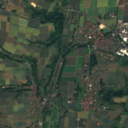
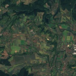
Rode from above

Nature nearbyAll of Germany
Photo: Trimberg · CC BY-SA 4.0 · Wikimedia CommonsReport this photo · linked, not stored
WalseRiver8.4 kmWWalse
Photo: Wolfgang Fritsch · CC0 · Wikimedia CommonsReport this photo · linked, not stored
Lutter, ThuringiaRiver9.7 kmSELutter, Thuringia
Photo: 79.214er · CC BY-SA 3.0 · Wikimedia CommonsReport this photo · linked, not stored
GeisledeRiver10 kmNGeislede
Photo: Heinz K. S. · CC BY-SA 4.0 · Wikimedia CommonsReport this photo · linked, not stored
BerkaRiver10 kmSWBerka
Photo: ThunderHawk1973 · CC BY 3.0 · Wikimedia CommonsReport this photo · linked, not stored
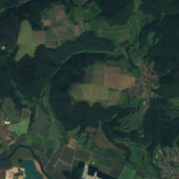
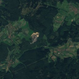
Lake WerratalLake11 kmSLake Werratal
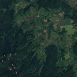
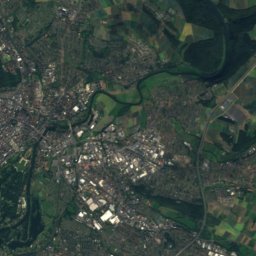
Satellite: Sentinel-2 cloudless 2016 by EOX IT Services GmbH · CC BY 4.0 · Contains modified Copernicus Sentinel data 2016
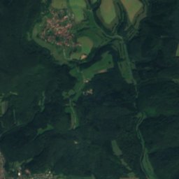
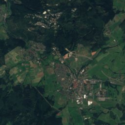
WehreRiver11 kmSWWehre
Summits nearbyMountains of Germany
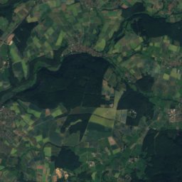
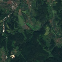
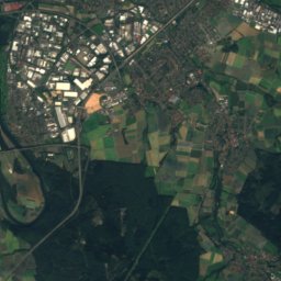
Satellite: Sentinel-2 cloudless 2016 by EOX IT Services GmbH · CC BY 4.0 · Contains modified Copernicus Sentinel data 2016
Kasseler Kuppe18 km SW754 mJuly 20°Kasseler Kuppe
Photo: © Heinrich Stürzl / Wikimedia Commons · CC BY-SA 4.0 · Wikimedia CommonsReport this photo · linked, not stored
Hoher Meissner20 km SW753 mJuly 21°Hoher Meissner
Photo: Nemracc · CC BY-SA 4.0 · Wikimedia CommonsReport this photo · linked, not stored
Kalbe18 km SW720 mJuly 21°Kalbe
Photo: Jörg Braukmann · CC BY-SA 3.0 · Wikimedia CommonsReport this photo · linked, not stored
Hirschberg (Kaufungen Forest)24 km W643 mJuly 21°Hirschberg (Kaufungen Forest)
Photo: Jörg Braukmann · CC BY-SA 3.0 · Wikimedia CommonsReport this photo · linked, not stored
Bilstein (Kaufungen Forest)22 km W641 mJuly 22°Bilstein (Kaufungen Forest)
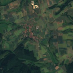
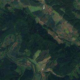
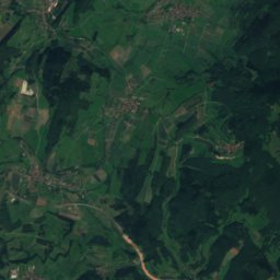
Satellite: Sentinel-2 cloudless 2016 by EOX IT Services GmbH · CC BY 4.0 · Contains modified Copernicus Sentinel data 2016
Mühlenstein23 km W607 mJuly 21°Mühlenstein
Stay nearby

Towns close by

Schwobfeld
Photo: 79.214er · CC BY-SA 3.0 · Wikimedia CommonsReport this photo · linked, not stored

Schwobfeld

Thuringia · 0.8 km S
13°Oct high
12wet days
35score
Schwobfeld
Dieterode
Photo: Michael Fiegle · CC BY-SA 3.0 · Wikimedia CommonsReport this photo · linked, not stored

Dieterode

Thuringia · 1.1 km N
12°Oct high
12wet days
32score
Dieterode
Wiesenfeld
Photo: ErwinMeier · CC BY-SA 4.0 · Wikimedia CommonsReport this photo · linked, not stored

Wiesenfeld

Thuringia · 2.5 km S
13°Oct high
12wet days
37score
Wiesenfeld
Krombach
Photo: ErwinMeier · CC BY-SA 4.0 · Wikimedia CommonsReport this photo · linked, not stored

Krombach

Thuringia · 2.8 km E
12°Oct high
12wet days
32score
Krombach
Around here

Schwobfeld and around

Schwobfeld
Photo: 79.214er · CC BY-SA 3.0 · Wikimedia CommonsReport this photo · linked, not stored

Schwobfeld

Thuringia · Germany
Jul–Sepbest months
23°July high
347 maltitude
Schwobfeld

Nature

Frieda
Photo: Michael Fiegle at German Wikipedia · CC BY-SA 3.0 · Wikimedia CommonsReport this photo · linked, not stored
11 km S

Frieda

River · 164 m
Frieda
Lutter, Thuringia
Photo: Wolfgang Fritsch · CC0 · Wikimedia CommonsReport this photo · linked, not stored
8.9 km SE

Lutter, Thuringia

River
Lutter, Thuringia
Geislede
Photo: 79.214er · CC BY-SA 3.0 · Wikimedia CommonsReport this photo · linked, not stored
11 km N

Geislede

River · 283 m
Geislede

Mountains

Satellite: Sentinel-2 cloudless 2016 by EOX IT Services GmbH · CC BY 4.0 · Contains modified Copernicus Sentinel data 2016
18 km W

Kasseler Kuppe

754 m
Kasseler Kuppe
Hoher Meissner
Photo: © Heinrich Stürzl / Wikimedia Commons · CC BY-SA 4.0 · Wikimedia CommonsReport this photo · linked, not stored
20 km SW

Hoher Meissner

753 m
Hoher Meissner
Kalbe
Photo: Nemracc · CC BY-SA 4.0 · Wikimedia CommonsReport this photo · linked, not stored
17 km SW

Kalbe

720 m · Hoher Meissner
Kalbe

Heritage

St. Martin, Schwobfeld
Photo: Hichhich · CC BY-SA 3.0 · Wikimedia CommonsReport this photo · linked, not stored
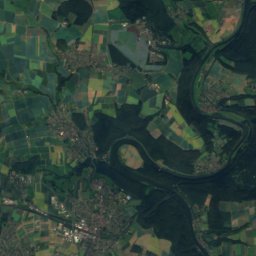
1.0 km E

St. Martin, Schwobfeld

Heritage monument in Thuringia
St. Martin, Schwobfeld
St. Georg, Dieterode
Photo: ErwinMeier · CC BY-SA 4.0 · Wikimedia CommonsReport this photo · linked, not stored
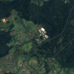
1.7 km N

St. Georg, Dieterode

Heritage monument in Thuringia
St. Georg, Dieterode
St. Peter und Paul, Wiesenfeld
Photo: ErwinMeier · CC BY-SA 4.0 · Wikimedia CommonsReport this photo · linked, not stored
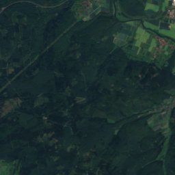
1.8 km S

St. Peter und Paul, Wiesenfeld

Heritage monument in Thuringia
St. Peter und Paul, Wiesenfeld

Museums

Grenzmuseum Schifflersgrund
Photo: ChrisO · CC BY-SA 3.0 · Wikimedia CommonsReport this photo · linked, not stored
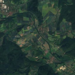
7.4 km W

Grenzmuseum Schifflersgrund

Open-air museum · 1991
Grenzmuseum Schifflersgrund
Literaturmuseum Theodor Storm
Photo: NoRud · CC BY-SA 4.0 · Wikimedia CommonsReport this photo · linked, not stored
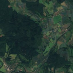
11 km N

Literaturmuseum Theodor Storm

Literary museum · 1988
Literaturmuseum Theodor Storm
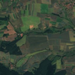
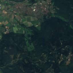
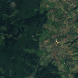
Satellite: Sentinel-2 cloudless 2016 by EOX IT Services GmbH · CC BY 4.0 · Contains modified Copernicus Sentinel data 2016
7.4 km W

Schifflersgrund

Schifflersgrund