
Photo: Stefan Wicklein, Kronach · CC BY-SA 3.0 · Wikimedia Commons
Rodach, ThuringiaReport this photo · linked, not stored
Rodach, ThuringiaReport this photo · linked, not stored

Photo: Foto: Störfix, Lizenz: Creative Commons by-sa 3.0 de · CC BY-SA 3.0 de · Wikimedia Commons
GrümpelReport this photo · linked, not stored
GrümpelGrümpelReport this photo · linked, not stored

Photo: Ausgebichder · CC BY-SA 4.0 · Wikimedia Commons
KremnitzReport this photo · linked, not stored
KremnitzKremnitzReport this photo · linked, not stored

Photo: Stefan Wicklein, Kronach · CC BY-SA 3.0 · Wikimedia Commons
HaßlachReport this photo · linked, not stored
HaßlachHaßlachReport this photo · linked, not stored

Photo: Foto: Störfix, Lizenz: Creative Commons by-sa 3.0 de · CC BY-SA 3.0 de · Wikimedia Commons
TeuschnitzReport this photo · linked, not stored
TeuschnitzTeuschnitzReport this photo · linked, not stored
RiverWurzbach, Thuringia
Rodach, Thuringia
RiverBest Jun · Aug–Sep
Elevation–above sea level
Length53 kmsource to mouth
Nearest townWurzbach5.0 km
50.42° N, 11.53° EUTC+2 · Central European Summer Time
When to goWurzbach · weather score
Best timeJun · Aug–Sep
October: high / low12° / 4°
River
Rodach, Thuringia in brief
Rodach, Thuringia is a river in Wurzbach, Thuringia, Germany.
The nearest town is Wurzbach, 5.0 km to the N, where the weather is best in June, August and September.
Rodach, Thuringia is 53 km long.
Weather nearby now
Forecast for Wurzbach6°
Rain now
Today
24 Oct
7°
3°
3 mm
Sun
25 Oct
10°
4°
25 mm
Mon
26 Oct
9°
3°
Tue
27 Oct
12°
5°
1 mm
Wed
28 Oct
12°
3°
1 mm
Model run 12:00 UTCRefreshed several times a day
The course of the river
As mapped in OpenStreetMap, with the towns along its banks.- 1Weißenbrunn331 m
- 2Küps290 m
- 3Oberlangenstadt287 m
- 4Redwitz an der Rodach288 m
- 5Marktgraitz289 m
- 6Marktzeuln293 m
- 7Hochstadt am Main283 m
- 8Michelau270 m
sourcemouth (or where the mapped line leaves the country)
When to go
Climate of WurzbachThe best months around Rodach, Thuringia
Month score in Wurzbach
Comfort, dry days and sunshine · out of 10013
Jan
21
Feb
20
Mar
45
Apr
58
May
63
Jun
63
Jul
66
Aug
67
Sep
35
Oct
18
Nov
11
Dec
Map
Rodach, Thuringia from above
Nature nearbyAll of Germany

Photo: Foto: Störfix, Lizenz: Creative Commons by-sa 3.0 de · CC BY-SA 3.0 de · Wikimedia CommonsReport this photo · linked, not stored

Photo: Stefan Wicklein, Kronach · CC BY-SA 3.0 · Wikimedia CommonsReport this photo · linked, not stored
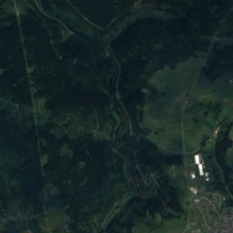
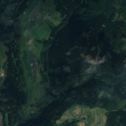
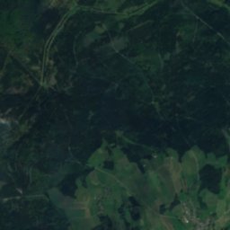
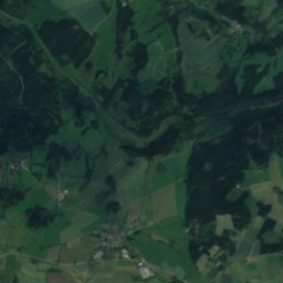
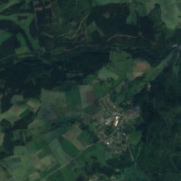
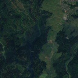
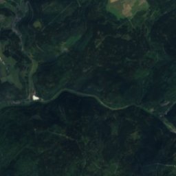
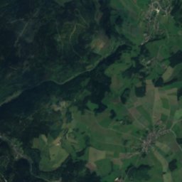
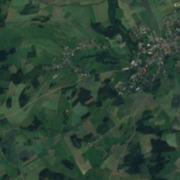
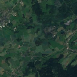
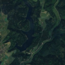
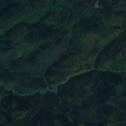
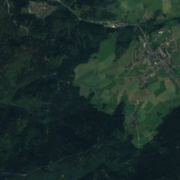
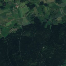
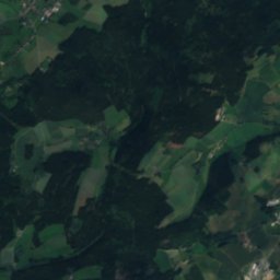
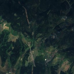
Satellite: Sentinel-2 cloudless 2016 by EOX IT Services GmbH · CC BY 4.0 · Contains modified Copernicus Sentinel data 2016

Photo: Foto: Störfix, Lizenz: Creative Commons by-sa 3.0 de · CC BY-SA 3.0 de · Wikimedia CommonsReport this photo · linked, not stored
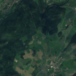
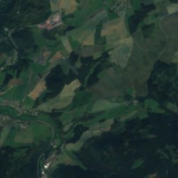
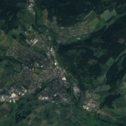
Satellite: Sentinel-2 cloudless 2016 by EOX IT Services GmbH · CC BY 4.0 · Contains modified Copernicus Sentinel data 2016
Summits nearbyMountains of Germany

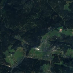
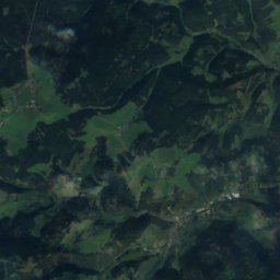
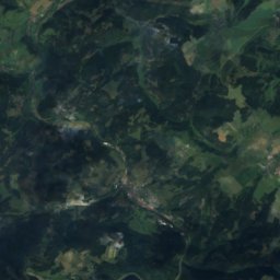
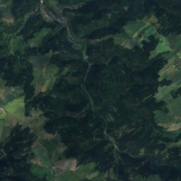
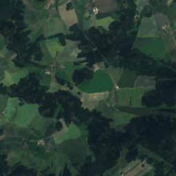
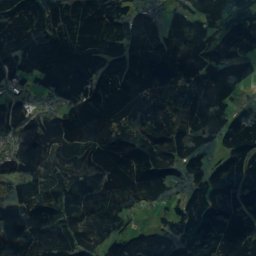
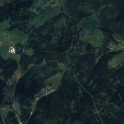
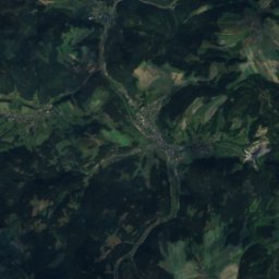
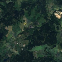
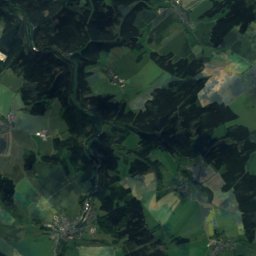
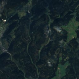
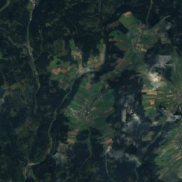
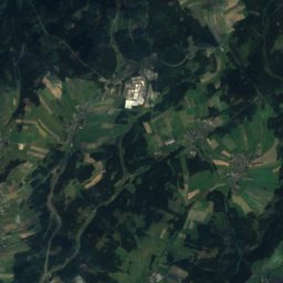
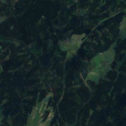
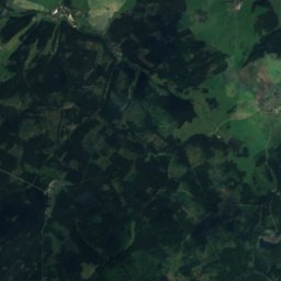
Satellite: Sentinel-2 cloudless 2016 by EOX IT Services GmbH · CC BY 4.0 · Contains modified Copernicus Sentinel data 2016


Photo: Bayern-Lauenstein-Thueringer-Warte.jpg: CTHOE derivative work: Regi51 (talk) · CC BY-SA 3.0 · Wikimedia CommonsReport this photo · linked, not stored
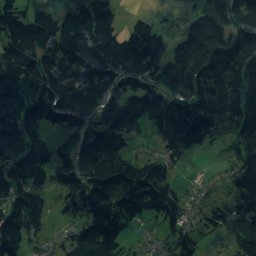
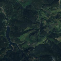
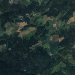
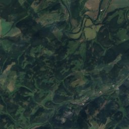
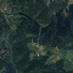
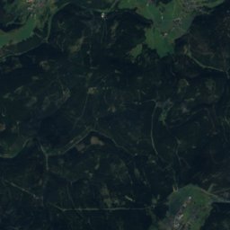
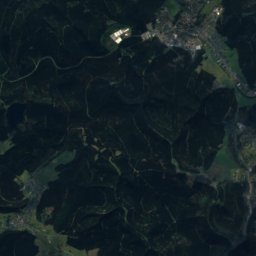
Satellite: Sentinel-2 cloudless 2016 by EOX IT Services GmbH · CC BY 4.0 · Contains modified Copernicus Sentinel data 2016
Stay nearby
Towns close by


Photo: Foto: Störfix, Lizenz: Creative Commons by-sa 3.0 de · CC BY-SA 3.0 de · Wikimedia CommonsReport this photo · linked, not stored
Tschirn
Bavaria · 6.0 km W
11°Oct high
11wet days
29score

Around here
Wurzbach and around
Nature
Photo: Stefan Wicklein, Kronach · CC BY-SA 3.0 · Wikimedia CommonsReport this photo · linked, not stored
Haßlach
River
Photo: Foto: Störfix, Lizenz: Creative Commons by-sa 3.0 de · CC BY-SA 3.0 de · Wikimedia CommonsReport this photo · linked, not stored
Grümpel
River
Mountains

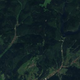
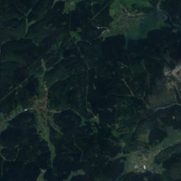
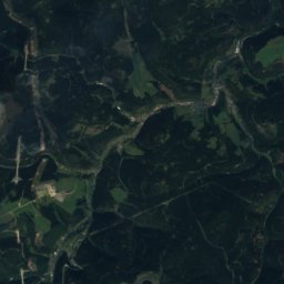
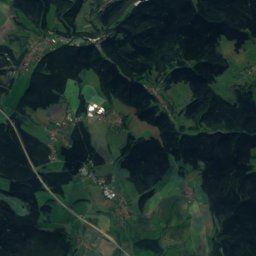
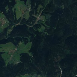
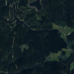
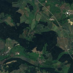
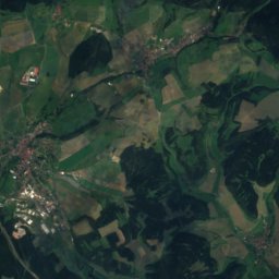
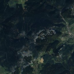
Satellite: Sentinel-2 cloudless 2016 by EOX IT Services GmbH · CC BY 4.0 · Contains modified Copernicus Sentinel data 2016
Kieferle
867 m · Thuringian Highland


