
 Biggesee

Photo: Rainer Lippert · Public domain · Wikimedia Commons
Atta CaveReport this photo · linked, not stored
Atta CaveAtta CaveReport this photo · linked, not stored

Photo: Jörg Braukmann · CC BY-SA 4.0 · Wikimedia Commons
HärdlerReport this photo · linked, not stored
HärdlerHärdlerReport this photo · linked, not stored

Photo: J. Braukmann Milseburg · CC BY-SA 3.0 · Wikimedia Commons
Himberg, North Rhine-WestphaliaReport this photo · linked, not stored
Himberg, North Rhine-WestphaliaHimberg, North Rhine-WestphaliaReport this photo · linked, not stored
RiverAttendorn, North Rhine-Westphalia
Repe
RiverBest May–Jun · Sep
Elevation–above sea level
Length11 kmsource to mouth
Nearest townAttendorn4.5 km
51.09° N, 7.92° EUTC+1 · Central European Standard Time
When to goAttendorn · weather score
Best timeMay–Jun · Sep
October: high / low13° / 6°
River
Repe in brief
Repe is a river in Attendorn, North Rhine-Westphalia, Germany.
The nearest town is Attendorn, 4.5 km to the N, where the weather is best in May, June and September.
Repe is 11 km long.
Weather nearby now
Forecast for Attendorn7°
Clear now
Today
26 Oct
12°
5°
1 mm
Tue
27 Oct
16°
9°
Wed
28 Oct
13°
5°
1 mm
Thu
29 Oct
13°
4°
Fri
30 Oct
12°
5°
Model run 12:00 UTCRefreshed several times a day
Map
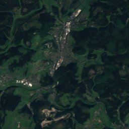
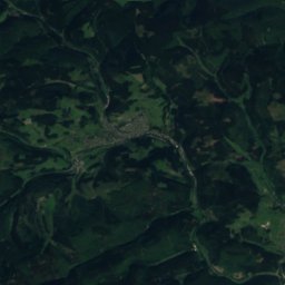
Repe from above
Nature nearbyAll of Germany

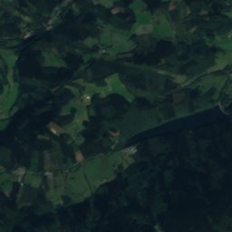
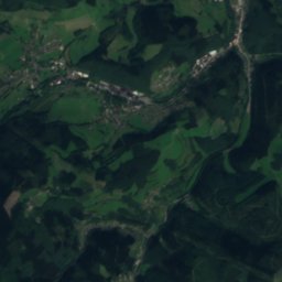
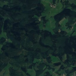
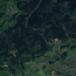
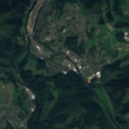
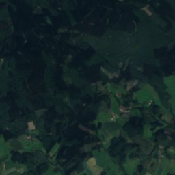
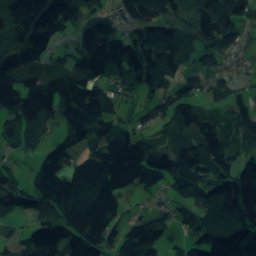
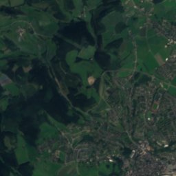
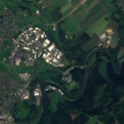
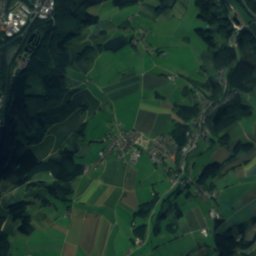
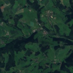
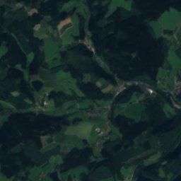
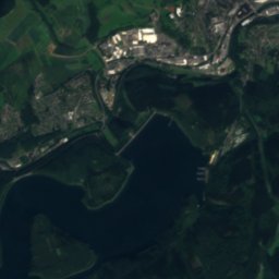
Satellite: Sentinel-2 cloudless 2016 by EOX IT Services GmbH · CC BY 4.0 · Contains modified Copernicus Sentinel data 2016
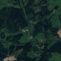
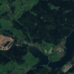
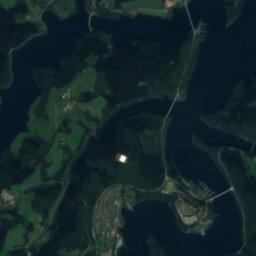
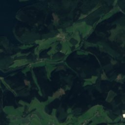
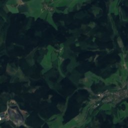
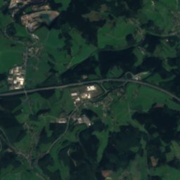
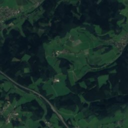
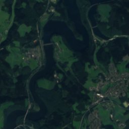
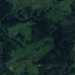
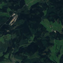
Satellite: Sentinel-2 cloudless 2016 by EOX IT Services GmbH · CC BY 4.0 · Contains modified Copernicus Sentinel data 2016

Satellite: Sentinel-2 cloudless 2016 by EOX IT Services GmbH · CC BY 4.0 · Contains modified Copernicus Sentinel data 2016
Summits nearbyMountains of Germany

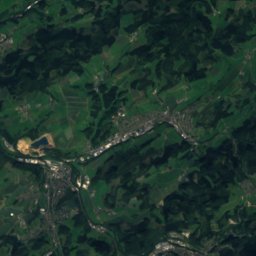
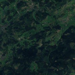
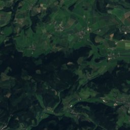
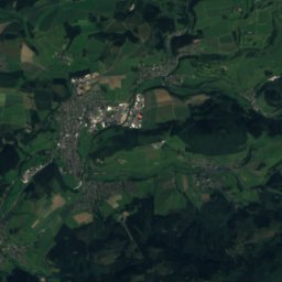
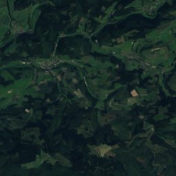
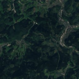
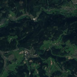
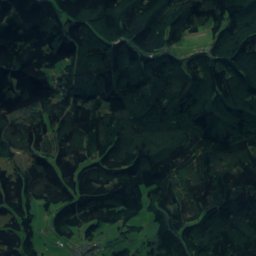
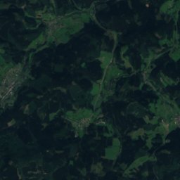
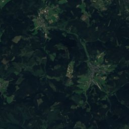
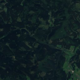
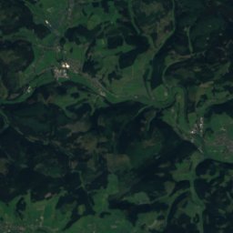
Satellite: Sentinel-2 cloudless 2016 by EOX IT Services GmbH · CC BY 4.0 · Contains modified Copernicus Sentinel data 2016

Photo: J. Braukmann Milseburg · CC BY-SA 3.0 · Wikimedia CommonsReport this photo · linked, not stored
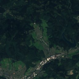
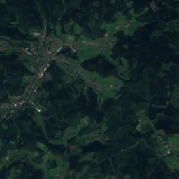
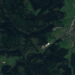
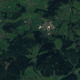
Satellite: Sentinel-2 cloudless 2016 by EOX IT Services GmbH · CC BY 4.0 · Contains modified Copernicus Sentinel data 2016
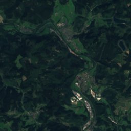
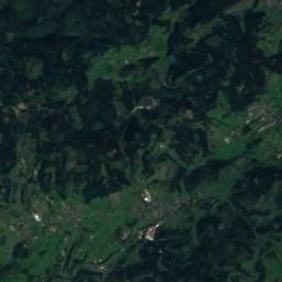
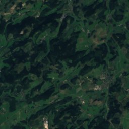
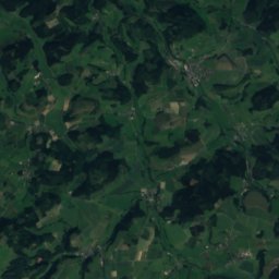
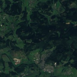
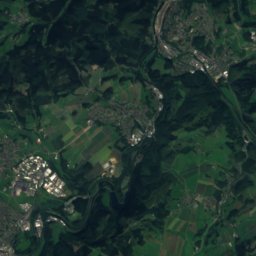
Satellite: Sentinel-2 cloudless 2016 by EOX IT Services GmbH · CC BY 4.0 · Contains modified Copernicus Sentinel data 2016

Stay nearby
Towns close by

Photo: Toni1983 (Toni Müller) at de.wikipedia · Public domain · Wikimedia CommonsReport this photo · linked, not stored
Attendorn
North Rhine-Westphalia · 4.5 km N
13°Oct high
13wet days
39score


Photo: --Wolfgang Poguntke 18:54, 8. Jul. 2007 (CEST) · CC BY-SA 2.0 de · Wikimedia CommonsReport this photo · linked, not stored
Bamenohl
North Rhine-Westphalia · 9.6 km NE
14°Oct high
13wet days
39score

Around here
Attendorn and around
Photo: Toni1983 (Toni Müller) at de.wikipedia · Public domain · Wikimedia CommonsReport this photo · linked, not stored
Attendorn
North Rhine-Westphalia · Germany
May–Jun · Sepbest months
23°July high
260 maltitude
Nature

Mountains
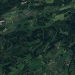
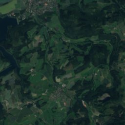
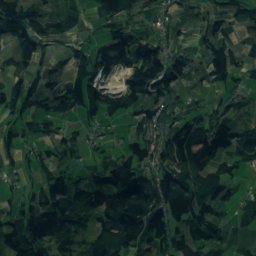
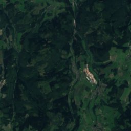
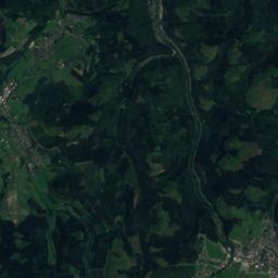
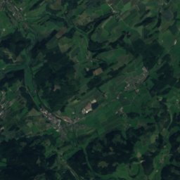
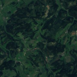
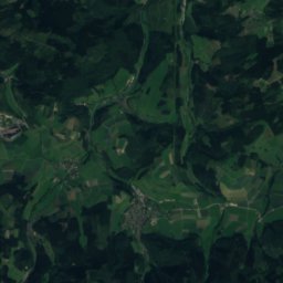
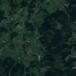
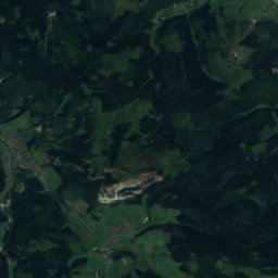
Satellite: Sentinel-2 cloudless 2016 by EOX IT Services GmbH · CC BY 4.0 · Contains modified Copernicus Sentinel data 2016
Hunau-Gipfel
818 m
Satellite: Sentinel-2 cloudless 2016 by EOX IT Services GmbH · CC BY 4.0 · Contains modified Copernicus Sentinel data 2016
Albrechts-Berg
771 m · Rothaar Mountains
Heritage

Evangelische Kirche Attendorn
architectural heritage monument in North Rhine-Westphalia

St. Augustinus, Attendorn
architectural heritage monument in North Rhine-Westphalia

Burg Schnellenberg
architectural heritage monument in North Rhine-Westphalia
Museums

Satellite: Sentinel-2 cloudless 2016 by EOX IT Services GmbH · CC BY 4.0 · Contains modified Copernicus Sentinel data 2016
Südsauerlandmuseum
Satellite: Sentinel-2 cloudless 2016 by EOX IT Services GmbH · CC BY 4.0 · Contains modified Copernicus Sentinel data 2016
Attendorner Feuerwehr-Museum e.V.
1986




Satellite: Sentinel-2 cloudless 2016 by EOX IT Services GmbH · CC BY 4.0 · Contains modified Copernicus Sentinel data 2016
Märkische Museum Railway
Heritage railway · 1982