Skip to content
Destinations
Weather & climate
Nature
Outdoors
Culture
Events
Sky & live
Recknitz
Photo: Erell · CC BY-SA 3.0 · Wikimedia Commons
RecknitzReport this photo · linked, not stored
Ribnitzer See
Photo: Matti Blume · CC BY-SA 4.0 · Wikimedia Commons
Ribnitzer SeeReport this photo · linked, not stored
Ribnitzer See
Carbäk
Photo: Tillimeter · CC BY-SA 4.0 · Wikimedia Commons
CarbäkReport this photo · linked, not stored
Carbäk
Heidensee, Born
Photo: Leonhard Lenz · CC0 · Wikimedia Commons
Heidensee, BornReport this photo · linked, not stored
Heidensee, Born
Bakelberg
Photo: Nikater · Public domain · Wikimedia Commons
BakelbergReport this photo · linked, not stored
Bakelberg
RiverRibnitz-Damgarten, Mecklenburg-Vorpommern

Recknitz

RiverBest May–Jun · Sep
Elevation–above sea level
Length88 kmsource to mouth
Nearest townRibnitz-Damgarten1.1 km
54.25° N, 12.46° EUTC+1 · Central European Standard Time
When to goRibnitz-Damgarten · weather score
JanFebMarAprMayJunJulAugSepOctNovDec35October
Best timeMay–Jun · Sep
October: high / low13° / 7°
River

Recknitz in brief

Recknitz is a river in Ribnitz-Damgarten, Mecklenburg-Vorpommern, Germany.

The nearest town is Ribnitz-Damgarten, 1.1 km to the S, where the weather is best in May, June and September.

Recknitz is 88 km long.

Ribnitz-Damgarten: weather and travel guide

Weather nearby now

Forecast for Ribnitz-Damgarten
12°
Partly cloudy now
Wind28 km/h
Humidity67%
Cloud cover22%
Today
26 Oct
13°
7°
Tue
27 Oct
13°
8°
Wed
28 Oct
14°
8°
Thu
29 Oct
14°
8°
2 mm
Fri
30 Oct
11°
6°

Model run 12:00 UTCRefreshed several times a day

The course of the river

As mapped in OpenStreetMap, with the towns along its banks.
12345678
  1. 1Laage29 m
  2. 2Cammin40 m
  3. 3Tessin15 m
  4. 4Zarnewanz43 m
  5. 5Thelkow44 m
  6. 6Bad Sülze8 m
  7. 7Marlow29 m
  8. 8Ribnitz-Damgarten6 m
sourcemouth (or where the mapped line leaves the country)
When to go

The best months around Recknitz

Climate of Ribnitz-Damgarten

Month score in Ribnitz-Damgarten

Comfort, dry days and sunshine · out of 100
Map

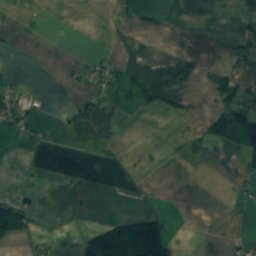
Recknitz from above

Nature nearbyAll of Germany
Photo: Matti Blume · CC BY-SA 4.0 · Wikimedia CommonsReport this photo · linked, not stored
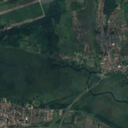
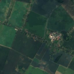
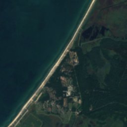
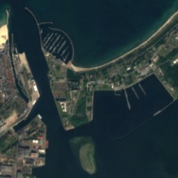
Ribnitzer SeeLake3.6 kmWRibnitzer See
Satellite: Sentinel-2 cloudless 2016 by EOX IT Services GmbH · CC BY 4.0 · Contains modified Copernicus Sentinel data 2016
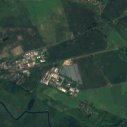
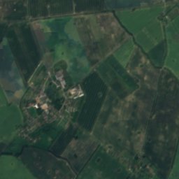
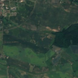
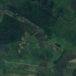
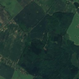
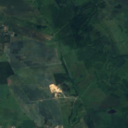
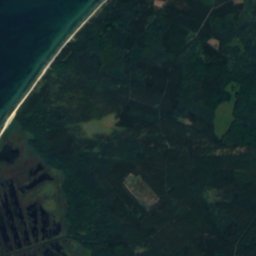
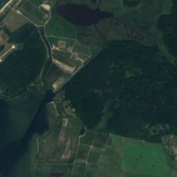
Tribohmer BachRiver8.9 kmSETribohmer Bach
Satellite: Sentinel-2 cloudless 2016 by EOX IT Services GmbH · CC BY 4.0 · Contains modified Copernicus Sentinel data 2016
Jäger BültenIsland16 kmNEJäger Bülten
Photo: Tillimeter · CC BY-SA 4.0 · Wikimedia CommonsReport this photo · linked, not stored
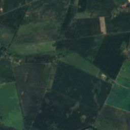
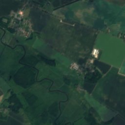
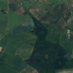
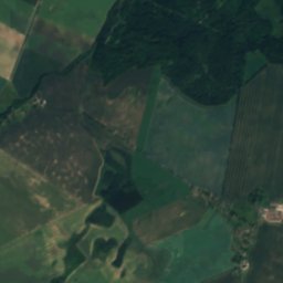
CarbäkRiver18 kmSWCarbäk
Satellite: Sentinel-2 cloudless 2016 by EOX IT Services GmbH · CC BY 4.0 · Contains modified Copernicus Sentinel data 2016
Heiligensee, Mecklenburg-VorpommernLake19 kmWHeiligensee, Mecklenburg-Vorpommern
Photo: Leonhard Lenz · CC0 · Wikimedia CommonsReport this photo · linked, not stored
Heidensee, BornLake20 kmNHeidensee, Born
Summits nearbyMountains of Germany
Photo: Nikater · Public domain · Wikimedia CommonsReport this photo · linked, not stored
Bakelberg13 km N18 mJuly 22°Bakelberg
Photo: Assenmacher · CC BY-SA 3.0 · Wikimedia CommonsReport this photo · linked, not stored
Schifferberg15 km N15 mJuly 22°Schifferberg
Stay nearby

Towns close by

Ribnitz-Damgarten
Photo: Doris Antony, Berlin · CC BY-SA 3.0 · Wikimedia CommonsReport this photo · linked, not stored

Ribnitz-Damgarten

Mecklenburg-Vorpommern · 1.1 km S
13°Oct high
14wet days
35score
Ribnitz-Damgarten
Saal
Photo: Chpagenkopf · CC BY-SA 3.0 · Wikimedia CommonsReport this photo · linked, not stored

Saal

Mecklenburg-Vorpommern · 7.1 km NE
13°Oct high
14wet days
36score
Saal
Dierhagen
Photo: Assenmacher · CC BY-SA 3.0 · Wikimedia CommonsReport this photo · linked, not stored

Dierhagen

Mecklenburg-Vorpommern · 7.8 km NW
13°Oct high
14wet days
36score
Dierhagen
Trinwillershagen
Photo: Klugschnacker · CC BY-SA 3.0 · Wikimedia CommonsReport this photo · linked, not stored

Trinwillershagen

Mecklenburg-Vorpommern · 11 km E
13°Oct high
13wet days
37score
Trinwillershagen
Around here

Ribnitz-Damgarten and around

Ribnitz-Damgarten
Photo: Doris Antony, Berlin · CC BY-SA 3.0 · Wikimedia CommonsReport this photo · linked, not stored

Ribnitz-Damgarten

Mecklenburg-Vorpommern · Germany
May–Jun · Sepbest months
22°July high
6 maltitude
Ribnitz-Damgarten

Nature

Ribnitzer See
Photo: Matti Blume · CC BY-SA 4.0 · Wikimedia CommonsReport this photo · linked, not stored
4.0 km NW

Ribnitzer See

Lake
Ribnitzer See
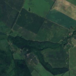
Satellite: Sentinel-2 cloudless 2016 by EOX IT Services GmbH · CC BY 4.0 · Contains modified Copernicus Sentinel data 2016
8.3 km SE

Tribohmer Bach

River
Tribohmer Bach
Satellite: Sentinel-2 cloudless 2016 by EOX IT Services GmbH · CC BY 4.0 · Contains modified Copernicus Sentinel data 2016
25 km W

Warnow

River
Warnow

Mountains

Bakelberg
Photo: Nikater · Public domain · Wikimedia CommonsReport this photo · linked, not stored
14 km N

Bakelberg

18 m
Bakelberg
Schifferberg
Photo: Assenmacher · CC BY-SA 3.0 · Wikimedia CommonsReport this photo · linked, not stored
16 km N

Schifferberg

15 m
Schifferberg

Heritage

Mary's Church, Ribnitz
Photo: Norbert Kaiser · CC BY-SA 3.0 · Wikimedia CommonsReport this photo · linked, not stored
1.7 km W

Mary's Church, Ribnitz

architectural heritage monument in Mecklenburg-Vorpommern
Mary's Church, Ribnitz
Saint Bartholomew Church, Ribnitz-Damgarten
Photo: Erell · CC BY-SA 3.0 · Wikimedia CommonsReport this photo · linked, not stored
1.7 km NE

Saint Bartholomew Church, Ribnitz-Damgarten

architectural heritage monument in Mecklenburg-Vorpommern
Saint Bartholomew Church, Ribnitz-Damgarten
Ribnitz-Damgarten West railway station
Photo: Global Fish · CC BY-SA 3.0 · Wikimedia CommonsReport this photo · linked, not stored
1.3 km W

Ribnitz-Damgarten West railway station

architectural heritage monument in Mecklenburg-Vorpommern
Ribnitz-Damgarten West railway station

Museums

Satellite: Sentinel-2 cloudless 2016 by EOX IT Services GmbH · CC BY 4.0 · Contains modified Copernicus Sentinel data 2016
1.6 km W

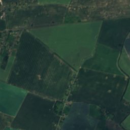
Deutsches Bernsteinmuseum

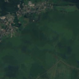
Deutsches Bernsteinmuseum
Satellite: Sentinel-2 cloudless 2016 by EOX IT Services GmbH · CC BY 4.0 · Contains modified Copernicus Sentinel data 2016
3.7 km NW

Technik-Museum Pütnitz

Technik-Museum Pütnitz
Kranich Museum
Photo: Matti Blume · CC BY-SA 4.0 · Wikimedia CommonsReport this photo · linked, not stored
8.7 km NE

Kranich Museum

Art museum · 2011
Kranich Museum