

Photo: Corradox · CC BY-SA 3.0 · Wikimedia Commons
Wendefurth ReservoirReport this photo · linked, not stored
Wendefurth ReservoirWendefurth ReservoirReport this photo · linked, not stored

Photo: Kora27 · CC BY-SA 4.0 · Wikimedia Commons
Rappbode ReservoirReport this photo · linked, not stored
Rappbode ReservoirRappbode ReservoirReport this photo · linked, not stored

Photo: JurecGermany at German Wikipedia · Public domain · Wikimedia Commons
Blauer See, RübelandReport this photo · linked, not stored
Blauer See, RübelandBlauer See, RübelandReport this photo · linked, not stored

Photo: Benutzer:Hejkal · CC BY-SA 2.0 de · Wikimedia Commons
Baumann's CaveReport this photo · linked, not stored
Baumann's CaveBaumann's CaveReport this photo · linked, not stored
RiverWendefurth, Saxony-Anhalt
Rappbode
RiverBest Jun · Aug–Sep
Elevation–above sea level
Area–surface
Nearest townWendefurth1.8 km
51.74° N, 10.90° EUTC+2 · Central European Summer Time
When to goWendefurth · weather score
Best timeJun · Aug–Sep
October: high / low13° / 5°
River
Rappbode in brief
Rappbode is a river in Wendefurth, Saxony-Anhalt, Germany.
The nearest town is Wendefurth, 1.8 km to the E, where the weather is best in June, August and September.
Weather nearby now
Forecast for Wendefurth7°
Cloudy now
Today
24 Oct
10°
5°
4 mm
Sun
25 Oct
13°
5°
18 mm
Mon
26 Oct
11°
5°
1 mm
Tue
27 Oct
15°
7°
2 mm
Wed
28 Oct
14°
6°
Model run 00:00 UTCRefreshed several times a day
When to go
Climate of WendefurthThe best months around Rappbode
Month score in Wendefurth
Comfort, dry days and sunshine · out of 10015
Jan
24
Feb
23
Mar
49
Apr
65
May
67
Jun
65
Jul
69
Aug
71
Sep
40
Oct
20
Nov
12
Dec
Map
Rappbode from above
Nature nearbyAll of Germany


Photo: JurecGermany at German Wikipedia · Public domain · Wikimedia CommonsReport this photo · linked, not stored
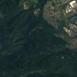
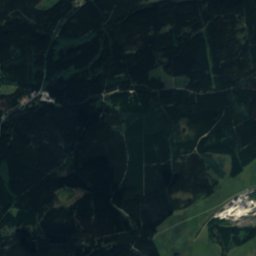
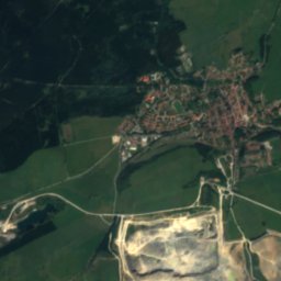
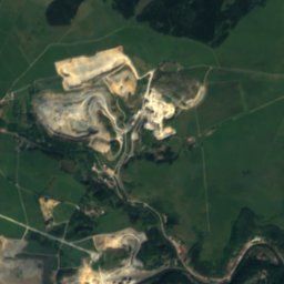
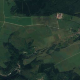
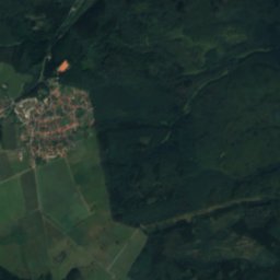
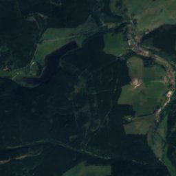
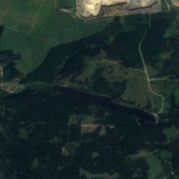
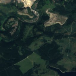
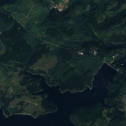
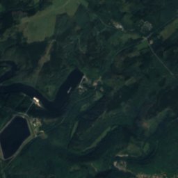
Satellite: Sentinel-2 cloudless 2016 by EOX IT Services GmbH · CC BY 4.0 · Contains modified Copernicus Sentinel data 2016

Satellite: Sentinel-2 cloudless 2016 by EOX IT Services GmbH · CC BY 4.0 · Contains modified Copernicus Sentinel data 2016
Summits nearbyMountains of Germany

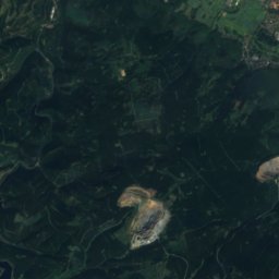
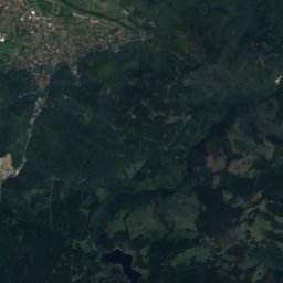
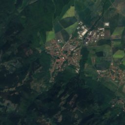
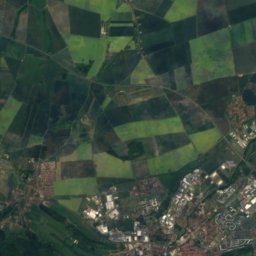
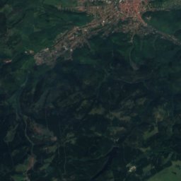
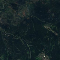
Satellite: Sentinel-2 cloudless 2016 by EOX IT Services GmbH · CC BY 4.0 · Contains modified Copernicus Sentinel data 2016
Satellite: Sentinel-2 cloudless 2016 by EOX IT Services GmbH · CC BY 4.0 · Contains modified Copernicus Sentinel data 2016

Satellite: Sentinel-2 cloudless 2016 by EOX IT Services GmbH · CC BY 4.0 · Contains modified Copernicus Sentinel data 2016
Satellite: Sentinel-2 cloudless 2016 by EOX IT Services GmbH · CC BY 4.0 · Contains modified Copernicus Sentinel data 2016
Stay nearby
Towns close by

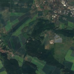
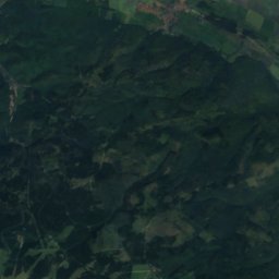
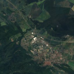
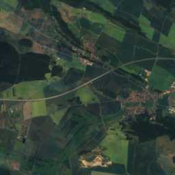
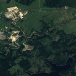
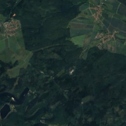
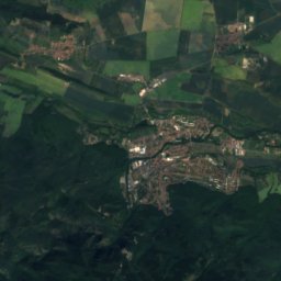
Satellite: Sentinel-2 cloudless 2016 by EOX IT Services GmbH · CC BY 4.0 · Contains modified Copernicus Sentinel data 2016
Hüttenrode
Saxony-Anhalt · 3.2 km N
12°Oct high
11wet days
36score


Photo: Unknown authorUnknown author · Public domain · Wikimedia CommonsReport this photo · linked, not stored
Rübeland
Saxony-Anhalt · 3.8 km NW
12°Oct high
11wet days
37score
Around here
Wendefurth and around
Nature


Photo: The original uploader was Kassandro at German Wikipedia. · Public domain · Wikimedia CommonsReport this photo · linked, not stored
Warme Bode
River
Mountains

Satellite: Sentinel-2 cloudless 2016 by EOX IT Services GmbH · CC BY 4.0 · Contains modified Copernicus Sentinel data 2016
Heinrichshöhe
1,045 m · Harz
Satellite: Sentinel-2 cloudless 2016 by EOX IT Services GmbH · CC BY 4.0 · Contains modified Copernicus Sentinel data 2016
Königsberg (Brocken)
1,034 m · Harz


