Skip to content
Destinations
Weather & climate
Nature
Outdoors
Culture
Events
Sky & live
Queich
Photo: © Achim Lammerts (Syntaxys) / Wikimedia Commons · CC BY-SA 4.0 · Wikimedia Commons
QueichReport this photo · linked, not stored
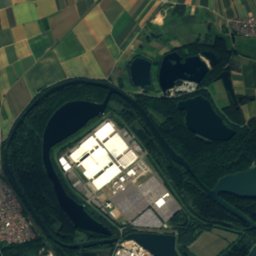
Grün island
Photo: Ekkhard Issel · CC BY-SA 3.0 de · Wikimedia Commons
Grün islandReport this photo · linked, not stored
Grün island
Pfinz
Photo: Badener · CC BY-SA 3.0 · Wikimedia Commons
PfinzReport this photo · linked, not stored
Pfinz
Michelsbach, Germersheim
Photo: Geisler Martin · CC BY-SA 3.0 · Wikimedia Commons
Michelsbach, GermersheimReport this photo · linked, not stored
Michelsbach, Germersheim
Verlängerter Pfinzkanal
Photo: Hozro · CC0 · Wikimedia Commons
Verlängerter PfinzkanalReport this photo · linked, not stored
Verlängerter Pfinzkanal
RiverGermersheim, Rheinland-Pfalz

Queich

RiverBest Apr · Jun · Sep
Elevation–above sea level
Length52 kmsource to mouth
Nearest townGermersheim1.9 km
49.23° N, 8.38° EUTC+1 · Central European Standard Time
When to goGermersheim · weather score
JanFebMarAprMayJunJulAugSepOctNovDec52October
Best timeApr · Jun · Sep
October: high / low16° / 7°
River

Queich in brief

Queich is a river in Germersheim, Rheinland-Pfalz, Germany — German river.

The nearest town is Germersheim, 1.9 km to the SW, where the weather is best in April, June and September.

Queich is 52 km long.

Germersheim: weather and travel guide

Weather nearby now

Forecast for Germersheim
12°
Rain now
Wind28 km/h
Humidity94%
Cloud cover100%
Today
25 Oct
13°
8°
18 mm
Mon
26 Oct
14°
6°
Tue
27 Oct
17°
8°
Wed
28 Oct
16°
7°
Thu
29 Oct
13°
4°

Model run 00:00 UTCRefreshed several times a day

The course of the river

As mapped in OpenStreetMap, with the towns along its banks.
123456789
  1. 1Bornheim141 m
  2. 2Offenbach an der Queich129 m
  3. 3Ottersheim126 m
  4. 4Knittelsheim126 m
  5. 5Zeiskam120 m
  6. 6Lustadt119 m
  7. 7Bellheim117 m
  8. 8Westheim114 m
  9. 9Germersheim108 m
sourcemouth (or where the mapped line leaves the country)
When to go

The best months around Queich

Climate of Germersheim

Month score in Germersheim

Comfort, dry days and sunshine · out of 100
Map

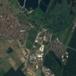
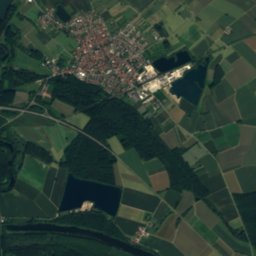
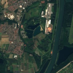
Queich from above

Nature nearbyAll of Germany
Photo: Ekkhard Issel · CC BY-SA 3.0 de · Wikimedia CommonsReport this photo · linked, not stored
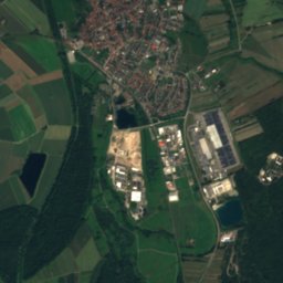
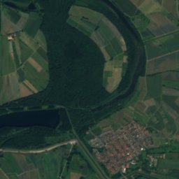
Grün islandIsland2.5 kmNGrün island
Satellite: Sentinel-2 cloudless 2016 by EOX IT Services GmbH · CC BY 4.0 · Contains modified Copernicus Sentinel data 2016
Rußheimer AltrheinLake3.8 kmSERußheimer Altrhein
Photo: Badener · CC BY-SA 3.0 · Wikimedia CommonsReport this photo · linked, not stored
PfinzRiver4.1 kmSPfinz
Photo: Geisler Martin · CC BY-SA 3.0 · Wikimedia CommonsReport this photo · linked, not stored
Michelsbach, GermersheimRiver4.5 kmSMichelsbach, Germersheim
Photo: Hozro · CC0 · Wikimedia CommonsReport this photo · linked, not stored
Verlängerter PfinzkanalRiver4.7 kmSEVerlängerter Pfinzkanal
Photo: AnRo0002 · CC0 · Wikimedia CommonsReport this photo · linked, not stored
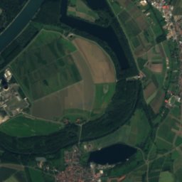
RheinschanzinselIsland5.4 kmNERheinschanzinsel
Summits nearbyMountains of Germany
Photo: Steffen 962 · CC0 · Wikimedia CommonsReport this photo · linked, not stored
Kalmit24 km NW674 mJuly 23°Kalmit
Photo: Steffen 962 · CC0 · Wikimedia CommonsReport this photo · linked, not stored
Hochberg (Haardt)24 km W635 mJuly 23°Hochberg (Haardt)
Photo: Steffen 962 · CC0 · Wikimedia CommonsReport this photo · linked, not stored
Hüttenberg25 km NW620 mJuly 23°Hüttenberg
Photo: Dominik Lott · CC BY-SA 3.0 · Wikimedia CommonsReport this photo · linked, not stored
Hohe Loog (Haardt)24 km NW619 mJuly 23°Hohe Loog (Haardt)
Photo: Immanuel Giel · Public domain · Wikimedia CommonsReport this photo · linked, not stored
Blättersberg24 km W613 mJuly 23°Blättersberg
Photo: Steffen 962 · CC0 · Wikimedia CommonsReport this photo · linked, not stored
Taubenkopf24 km NW604 mJuly 23°Taubenkopf
Stay nearby

Towns close by

Germersheim
Photo: © Achim Lammerts (Syntaxys) / Wikimedia Commons · CC BY-SA 4.0 · Wikimedia CommonsReport this photo · linked, not stored

Germersheim

Rheinland-Pfalz · 1.9 km SW
16°Oct high
12wet days
52score
Germersheim
Lingenfeld
Photo: Dom.schelter · CC BY-SA 3.0 · Wikimedia CommonsReport this photo · linked, not stored

Lingenfeld

Rheinland-Pfalz · 4.4 km NW
15°Oct high
12wet days
52score
Lingenfeld
Westheim
Photo: P170 · CC BY 3.0 · Wikimedia CommonsReport this photo · linked, not stored

Westheim

Rheinland-Pfalz · 4.9 km NW
15°Oct high
12wet days
52score
Westheim
Rußheim
Photo: Jungkind · CC BY 3.0 · Wikimedia CommonsReport this photo · linked, not stored

Rußheim

Baden-Wurttemberg · 5.4 km SE
16°Oct high
12wet days
53score
Rußheim
Around here

Germersheim and around

Germersheim
Photo: © Achim Lammerts (Syntaxys) / Wikimedia Commons · CC BY-SA 4.0 · Wikimedia CommonsReport this photo · linked, not stored

Germersheim

Rheinland-Pfalz · Germany
Apr · Jun · Sepbest months
27°July high
108 maltitude
Germersheim

Nature

Alb, Rheinland-Pfalz
Photo: Ikar.us (talk) · CC BY 2.0 de · Wikimedia CommonsReport this photo · linked, not stored
12 km S

Alb, Rheinland-Pfalz

River · 105 m
Alb, Rheinland-Pfalz
Pfinz
Photo: Badener · CC BY-SA 3.0 · Wikimedia CommonsReport this photo · linked, not stored
2.9 km SE

Pfinz

River
Pfinz
Saalbach
Photo: Joachim Wilke, Bruchsal, Germany. (User:Jowi24) · CC BY-SA 2.5 · Wikimedia CommonsReport this photo · linked, not stored
8.8 km NE

Saalbach

River
Saalbach

Mountains

Kalmit
Photo: Steffen 962 · CC0 · Wikimedia CommonsReport this photo · linked, not stored
24 km NW

Kalmit

674 m · Haardt
Kalmit
Kesselberg (Palatinate)
Photo: Steffen 962 · CC0 · Wikimedia CommonsReport this photo · linked, not stored
25 km W

Kesselberg (Palatinate)

662 m · Haardt
Kesselberg (Palatinate)
Roßberg (Haardt)
Photo: Steffen 962 · CC0 · Wikimedia CommonsReport this photo · linked, not stored
25 km W

Roßberg (Haardt)

637 m · Haardt
Roßberg (Haardt)

Heritage

St. Jakobus, Germersheim
Photo: P170 · CC BY-SA 3.0 · Wikimedia CommonsReport this photo · linked, not stored
0.6 km NE

St. Jakobus, Germersheim

Kulturdenkmal
St. Jakobus, Germersheim
Germersheim
Photo: BlueBreezeWiki · CC BY-SA 3.0 · Wikimedia CommonsReport this photo · linked, not stored
1.3 km N

Germersheim

Kulturdenkmal
Germersheim
Festung Germersheim
Photo: The original uploader was SPS at German Wikipedia. Later versions were uploaded · CC BY-SA 2.0 de · Wikimedia CommonsReport this photo · linked, not stored
0.6 km NE

Festung Germersheim

Kulturdenkmal
Festung Germersheim

Museums

Ziegeleimuseum Sondernheim
Photo: BlueBreezeWiki · CC BY-SA 3.0 · Wikimedia CommonsReport this photo · linked, not stored
2.9 km S

Ziegeleimuseum Sondernheim

Open-air museum · 2008
Ziegeleimuseum Sondernheim
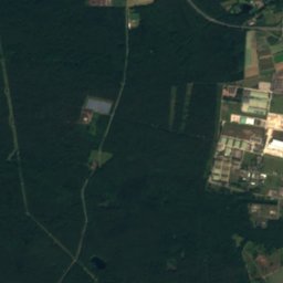
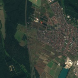
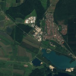
Satellite: Sentinel-2 cloudless 2016 by EOX IT Services GmbH · CC BY 4.0 · Contains modified Copernicus Sentinel data 2016
1.0 km NE

Deutsches Straßenmuseum Germersheim

Transport museum
Deutsches Straßenmuseum Germersheim
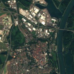
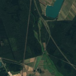
Satellite: Sentinel-2 cloudless 2016 by EOX IT Services GmbH · CC BY 4.0 · Contains modified Copernicus Sentinel data 2016
0.9 km N

Stadt- und Festungsmuseum Germersheim

Stadt- und Festungsmuseum Germersheim