Skip to content
Destinations
Weather & climate
Nature
Outdoors
Culture
Events
Sky & live
Pullinger Weiher
Photo: Vuxi · CC BY-SA 4.0 · Wikimedia Commons
Pullinger WeiherReport this photo · linked, not stored
Schörgenbach
Photo: Max Berger · CC BY-SA 4.0 · Wikimedia Commons
SchörgenbachReport this photo · linked, not stored
Schörgenbach
Hausler-See
Photo: Wasquewhat · CC BY-SA 4.0 · Wikimedia Commons
Hausler-SeeReport this photo · linked, not stored
Hausler-See
Baggersee am Hart
Photo: Gras-Ober, Wikipedia/Wikimedia Commons (cc-by-sa-3.0) · CC BY-SA 3.0 · Wikimedia Commons
Baggersee am HartReport this photo · linked, not stored
Baggersee am Hart
Gfällach
Photo: Harald Süpfle · CC BY-SA 3.0 · Wikimedia Commons
GfällachReport this photo · linked, not stored
Gfällach
LakeHallbergmoos, Bavaria

Pullinger Weiher

Lake449 m elevationBest Jul–Sep
Elevation449 mabove sea level
Area0.3 km²surface
Nearest townHallbergmoos4.3 km
48.35° N, 11.71° EElevation 449 mUTC+2 · Central European Summer Time
When to goHallbergmoos · weather score
JanFebMarAprMayJunJulAugSepOctNovDec49October
Best timeJul–Sep
October: high / low14° / 5°
Lake

Pullinger Weiher in brief

Pullinger Weiher is a lake in Hallbergmoos, Bavaria, Germany.

It lies at 449 m above sea level and covers about 0.3 km².

The nearest town is Hallbergmoos, 4.3 km to the SE, where the weather is best in July, August and September.

Hallbergmoos: weather and travel guide

Weather nearby now

Forecast for Hallbergmoos
8°
Partly cloudy now
Wind22 km/h
Humidity65%
Cloud cover25%
Today
24 Oct
8°
4°
1 mm
Sun
25 Oct
11°
3°
17 mm
Mon
26 Oct
11°
5°
Tue
27 Oct
17°
7°
Wed
28 Oct
11°
5°
3 mm

Model run 00:00 UTCRefreshed several times a day

The lake's water

Surface, average depth and volume of the lake, and the length of its shore.
Surface0.3 km²
Average depth2 m
Volume1 million m³
Shoreline2.8 km
average depth 2 msurface at 449 m
When to go

The best months around Pullinger Weiher

Climate of Hallbergmoos

Month score in Hallbergmoos

Comfort, dry days and sunshine · out of 100
21
Jan
27
Feb
25
Mar
55
Apr
63
May
64
Jun
66
Jul
66
Aug
69
Sep
49
Oct
26
Nov
18
Dec
Map

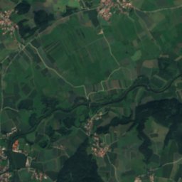
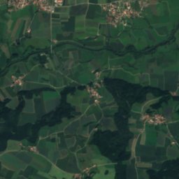
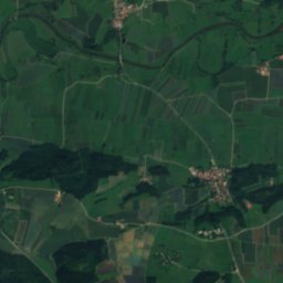
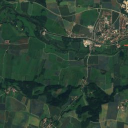
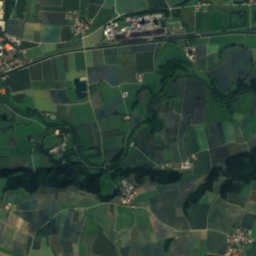
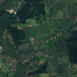
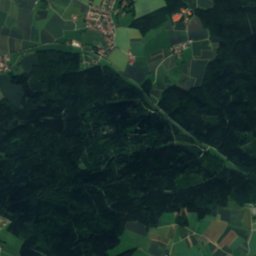
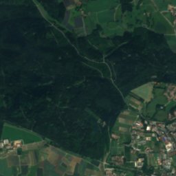
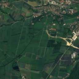
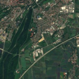
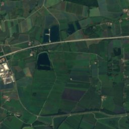
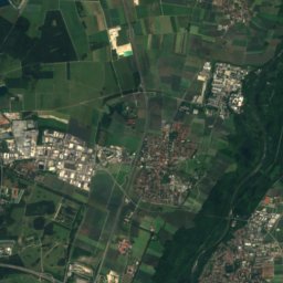
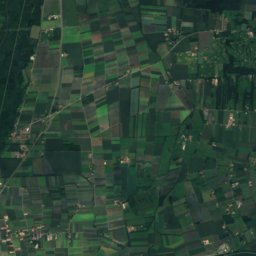
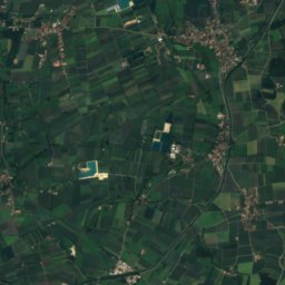
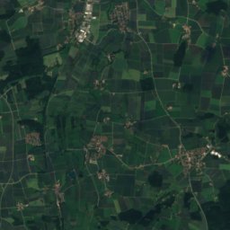
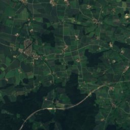
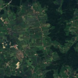
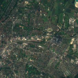
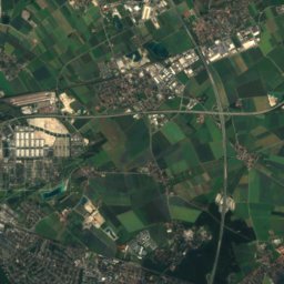
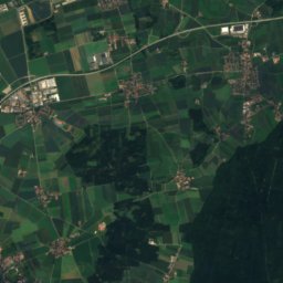
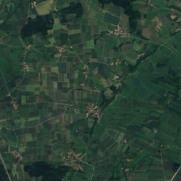
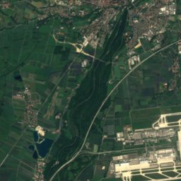
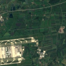
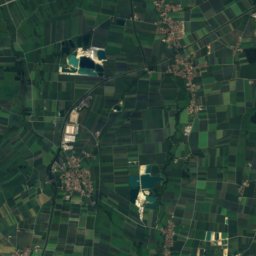
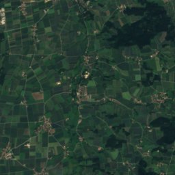
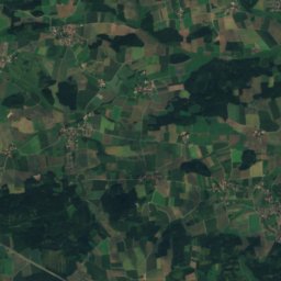
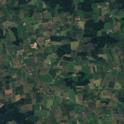
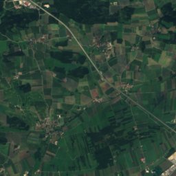
Pullinger Weiher from above

Nature nearbyAll of Germany
Photo: Max Berger · CC BY-SA 4.0 · Wikimedia CommonsReport this photo · linked, not stored
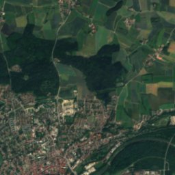
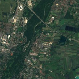
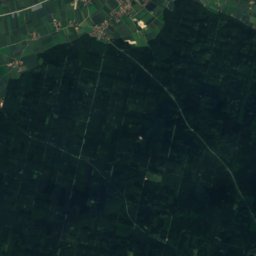
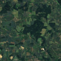
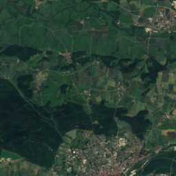
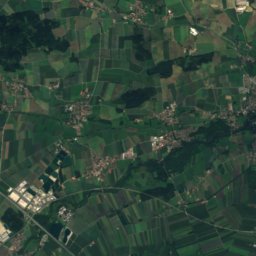
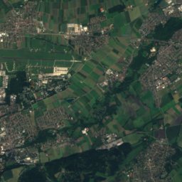
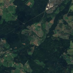
SchörgenbachRiver4.5 kmSSchörgenbach
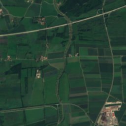
Satellite: Sentinel-2 cloudless 2016 by EOX IT Services GmbH · CC BY 4.0 · Contains modified Copernicus Sentinel data 2016
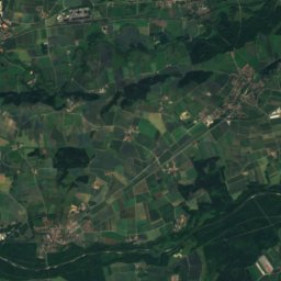
Lourdes grotto of Monastery Saint ClaraCave6.1 kmNELourdes grotto of Monastery Saint Clara
Photo: Wasquewhat · CC BY-SA 4.0 · Wikimedia CommonsReport this photo · linked, not stored
Hausler-SeeLake7.0 kmSHausler-See
Photo: Gras-Ober, Wikipedia/Wikimedia Commons (cc-by-sa-3.0) · CC BY-SA 3.0 · Wikimedia CommonsReport this photo · linked, not stored
Baggersee am HartLake8.3 kmSWBaggersee am Hart
Photo: Harald Süpfle · CC BY-SA 3.0 · Wikimedia CommonsReport this photo · linked, not stored
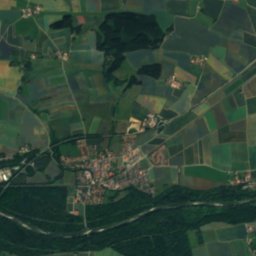
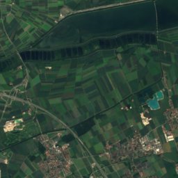
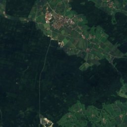
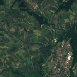
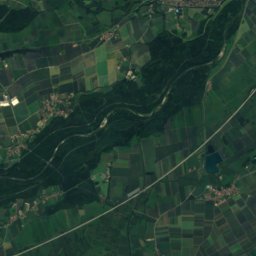
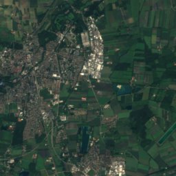
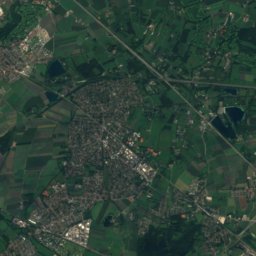
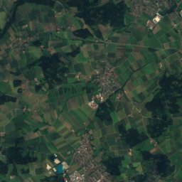
GfällachRiver9.2 kmEGfällach
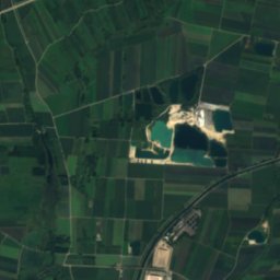
Satellite: Sentinel-2 cloudless 2016 by EOX IT Services GmbH · CC BY 4.0 · Contains modified Copernicus Sentinel data 2016
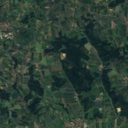
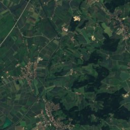
Naturfreundehaus HangenhamMountain hut11 kmNENaturfreundehaus Hangenham
Summits nearbyMountains of Germany
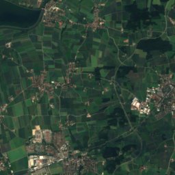
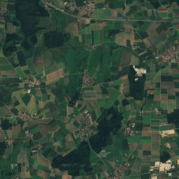
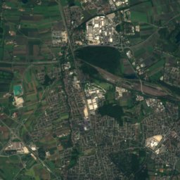
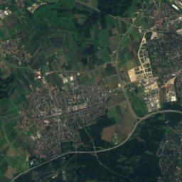
Satellite: Sentinel-2 cloudless 2016 by EOX IT Services GmbH · CC BY 4.0 · Contains modified Copernicus Sentinel data 2016
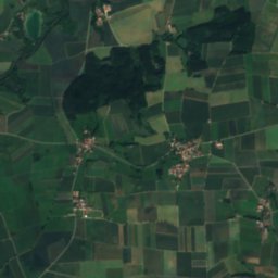
Neufarner Berg24 km S552 mJuly 24°Neufarner Berg
Photo: J. Patrick Fischer · CC BY-SA 4.0 · Wikimedia CommonsReport this photo · linked, not stored
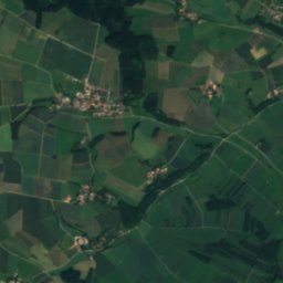
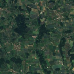
Wittelsbacher Höhe22 km SE539 mJuly 24°Wittelsbacher Höhe
Satellite: Sentinel-2 cloudless 2016 by EOX IT Services GmbH · CC BY 4.0 · Contains modified Copernicus Sentinel data 2016
Weißberg NE von Hangenham13 km NE460 mJuly 25°Weißberg NE von Hangenham
Photo: Rufus46 · CC BY-SA 3.0 · Wikimedia CommonsReport this photo · linked, not stored
Fröttmaninger Berg16 km S75 mJuly 24°Fröttmaninger Berg
Stay nearby

Towns close by

Hallbergmoos
Photo: Dr. Bernd Gross · CC BY-SA 3.0 · Wikimedia CommonsReport this photo · linked, not stored

Hallbergmoos

Bavaria · 4.3 km SE
14°Oct high
11wet days
49score
Hallbergmoos
Neufahrn bei Freising
Photo: Dr. Bernd Gross · CC BY-SA 3.0 · Wikimedia CommonsReport this photo · linked, not stored

Neufahrn bei Freising

Bavaria · 5.3 km SW
14°Oct high
11wet days
49score
Neufahrn bei Freising
Freising
Photo: Radlmoar · CC BY 3.0 · Wikimedia CommonsReport this photo · linked, not stored

Freising

Bavaria · 6.3 km NE
14°Oct high
11wet days
47score
Freising
Marzling
Photo: Vuxi · CC BY-SA 3.0 · Wikimedia CommonsReport this photo · linked, not stored

Marzling

Bavaria · 8.8 km NE
14°Oct high
11wet days
48score
Marzling
Around here

Hallbergmoos and around

Hallbergmoos
Photo: Dr. Bernd Gross · CC BY-SA 3.0 · Wikimedia CommonsReport this photo · linked, not stored

Hallbergmoos

Bavaria · Germany
Jul–Sepbest months
25°July high
456 maltitude
Hallbergmoos

Nature

Schörgenbach
Photo: Max Berger · CC BY-SA 4.0 · Wikimedia CommonsReport this photo · linked, not stored
4.0 km SW

Schörgenbach

River
Schörgenbach
Kronthaler Weiher
Photo: Paul68293 · CC BY-SA 4.0 · Wikimedia CommonsReport this photo · linked, not stored
12 km E

Kronthaler Weiher

Lake · 452 m
Kronthaler Weiher
Baggersee am Hart
Photo: Gras-Ober, Wikipedia/Wikimedia Commons (cc-by-sa-3.0) · CC BY-SA 3.0 · Wikimedia CommonsReport this photo · linked, not stored
8.8 km SW

Baggersee am Hart

Lake
Baggersee am Hart

Mountains

Gatterberge
Photo: wolfgangcyrus68 · CC BY-SA 3.0 de · Wikimedia CommonsReport this photo · linked, not stored
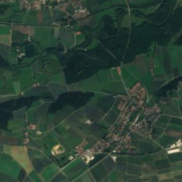
35 km E

Gatterberge

618 m
Gatterberge
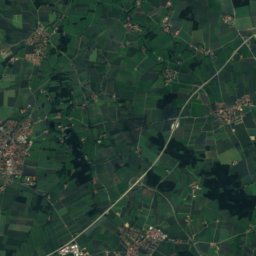
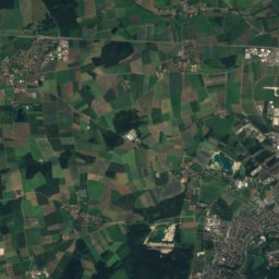
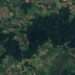
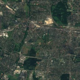
Satellite: Sentinel-2 cloudless 2016 by EOX IT Services GmbH · CC BY 4.0 · Contains modified Copernicus Sentinel data 2016
38 km SW

Emmeringer Leite

561 m
Emmeringer Leite
Satellite: Sentinel-2 cloudless 2016 by EOX IT Services GmbH · CC BY 4.0 · Contains modified Copernicus Sentinel data 2016
20 km S

Neufarner Berg

552 m
Neufarner Berg

Heritage

St. Theresia, Hallbergmoos
Photo: AHert · CC BY-SA 3.0 · Wikimedia CommonsReport this photo · linked, not stored
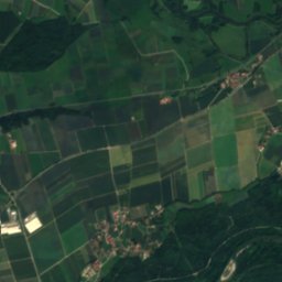
under 100 m NE

St. Theresia, Hallbergmoos

architectural heritage monument in Bavaria · 1830
St. Theresia, Hallbergmoos
Birkeneck
Photo: AHert · CC BY-SA 3.0 · Wikimedia CommonsReport this photo · linked, not stored
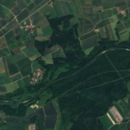
0.6 km E

Birkeneck

architectural heritage monument in Bavaria
Birkeneck
Zum Alten Wirt
Photo: AHert · CC BY-SA 3.0 · Wikimedia CommonsReport this photo · linked, not stored
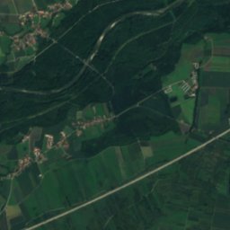
0.2 km NE

Zum Alten Wirt

architectural heritage monument in Bavaria
Zum Alten Wirt

Museums

ESO Supernova Planetarium & Visitor Centre
Photo: ESO · CC BY 4.0 · Wikimedia CommonsReport this photo · linked, not stored
9.6 km SW

ESO Supernova Planetarium & Visitor Centre

2013
ESO Supernova Planetarium & Visitor Centre
Diocesan Museum Freising
Photo: Vuxi · CC BY-SA 3.0 · Wikimedia CommonsReport this photo · linked, not stored
8.0 km N

Diocesan Museum Freising

Diocesan museum · 1974
Diocesan Museum Freising
Museum Erding
Photo: Ricardalovesmonuments · CC BY 4.0 · Wikimedia CommonsReport this photo · linked, not stored
12 km E

Museum Erding

City museum · 1856
Museum Erding