Skip to content
Destinations
Weather & climate
Nature
Outdoors
Culture
Events
Sky & live
Plötzensee, Rüdnitz
Photo: Geoprofi Lars · CC BY-SA 4.0 · Wikimedia Commons
Plötzensee, RüdnitzReport this photo · linked, not stored
Hellsee
Photo: Geoprofi Lars · CC BY-SA 4.0 · Wikimedia Commons
HellseeReport this photo · linked, not stored
Hellsee
Mechesee
Photo: Kds11 · CC BY-SA 3.0 · Wikimedia Commons
MecheseeReport this photo · linked, not stored
Mechesee
Hellmühler Fließ
Photo: Kds11 · CC BY-SA 3.0 · Wikimedia Commons
Hellmühler FließReport this photo · linked, not stored
Hellmühler Fließ
Ahrensfelder Berge
Photo: Andreas Steinhoff · Attribution · Wikimedia Commons
Ahrensfelder BergeReport this photo · linked, not stored
Ahrensfelder Berge
LakeRüdnitz, Brandenburg

Plötzensee, Rüdnitz

Lake62 m elevationBest May · Aug–Sep
Elevation62 mabove sea level
Area–surface
Nearest townRüdnitz3.2 km
52.74° N, 13.59° EElevation 62 mUTC+1 · Central European Standard Time
When to goRüdnitz · weather score
JanFebMarAprMayJunJulAugSepOctNovDec45October
Best timeMay · Aug–Sep
October: high / low14° / 6°
Lake

Plötzensee, Rüdnitz in brief

Plötzensee, Rüdnitz is a lake in Rüdnitz, Brandenburg, Germany.

It lies at 62 m above sea level.

The nearest town is Rüdnitz, 3.2 km to the SE, where the weather is best in May, August and September.

Rüdnitz: weather and travel guide

Weather nearby now

Forecast for Rüdnitz
7°
Sunny now
Wind19 km/h
Humidity78%
Cloud cover11%
Today
26 Oct
13°
6°
Tue
27 Oct
15°
6°
Wed
28 Oct
12°
5°
1 mm
Thu
29 Oct
11°
4°
1 mm
Fri
30 Oct
12°
5°

Model run 12:00 UTCRefreshed several times a day

When to go

The best months around Plötzensee, Rüdnitz

Climate of Rüdnitz

Month score in Rüdnitz

Comfort, dry days and sunshine · out of 100
18
Jan
26
Feb
27
Mar
62
Apr
71
May
68
Jun
66
Jul
69
Aug
74
Sep
45
Oct
22
Nov
18
Dec
Map

Plötzensee, Rüdnitz from above

Nature nearbyAll of Germany
Photo: Geoprofi Lars · CC BY-SA 4.0 · Wikimedia CommonsReport this photo · linked, not stored
HellseeLake1.3 kmNWHellsee
Photo: Kds11 · CC BY-SA 3.0 · Wikimedia CommonsReport this photo · linked, not stored
MecheseeLake1.5 kmSMechesee
Photo: Kds11 · CC BY-SA 3.0 · Wikimedia CommonsReport this photo · linked, not stored
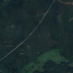
Hellmühler FließRiver2.5 kmNEHellmühler Fließ
Satellite: Sentinel-2 cloudless 2016 by EOX IT Services GmbH · CC BY 4.0 · Contains modified Copernicus Sentinel data 2016
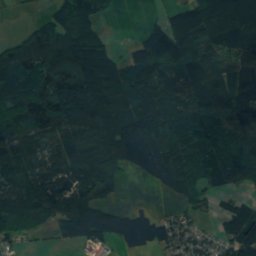
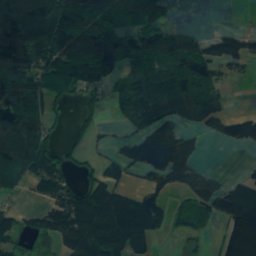
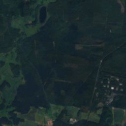
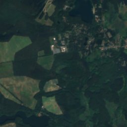
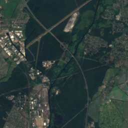
Krummer PfuhlLake2.9 kmNKrummer Pfuhl
Satellite: Sentinel-2 cloudless 2016 by EOX IT Services GmbH · CC BY 4.0 · Contains modified Copernicus Sentinel data 2016
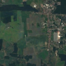
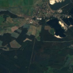
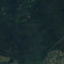
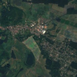
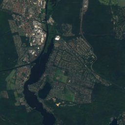
OttseeLake3.0 kmNEOttsee
Satellite: Sentinel-2 cloudless 2016 by EOX IT Services GmbH · CC BY 4.0 · Contains modified Copernicus Sentinel data 2016
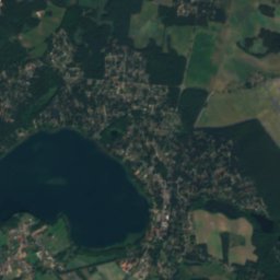
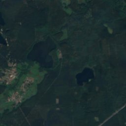
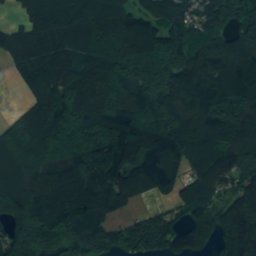
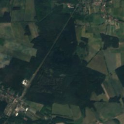
Krumme Lanke, BiesenthalLake3.1 kmNWKrumme Lanke, Biesenthal
Summits nearbyMountains of Germany
Photo: Andreas Steinhoff · Attribution · Wikimedia CommonsReport this photo · linked, not stored
Ahrensfelder Berge21 km S115 mJuly 25°Ahrensfelder Berge
Photo: A.Savin · FAL · Wikimedia CommonsReport this photo · linked, not stored
Kienberg, Brandenburg23 km S102 mJuly 25°Kienberg, Brandenburg
Photo: Angela Monika Arnold · CC BY-SA 2.0 de · Wikimedia CommonsReport this photo · linked, not stored
Volkspark Prenzlauer Berg25 km S91 mJuly 25°Volkspark Prenzlauer Berg
Photo: Lukas Beck · CC BY 4.0 · Wikimedia CommonsReport this photo · linked, not stored
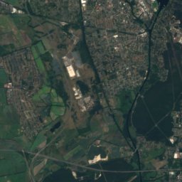
Lübarser Höhe21 km SW85 mJuly 25°Lübarser Höhe
Satellite: Sentinel-2 cloudless 2016 by EOX IT Services GmbH · CC BY 4.0 · Contains modified Copernicus Sentinel data 2016
Stener Berg13 km SW83 mJuly 25°Stener Berg
Satellite: Sentinel-2 cloudless 2016 by EOX IT Services GmbH · CC BY 4.0 · Contains modified Copernicus Sentinel data 2016
Dählingsberg16 km SW57 mJuly 25°Dählingsberg
Stay nearby

Towns close by

Rüdnitz
Photo: Doris Antony, Berlin · CC BY-SA 3.0 · Wikimedia CommonsReport this photo · linked, not stored
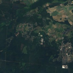
Rüdnitz

Brandenburg · 3.2 km SE
14°Oct high
11wet days
45score
Rüdnitz
Biesenthal
Photo: Olaf Tausch · CC BY 3.0 · Wikimedia CommonsReport this photo · linked, not stored
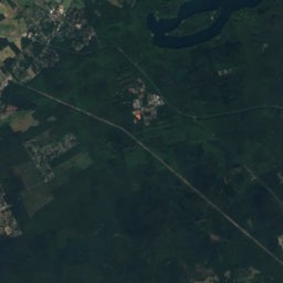
Biesenthal

Brandenburg · 4.3 km NE
14°Oct high
11wet days
45score
Biesenthal
Bernau bei Berlin
Photo: User:Dabbelju · CC BY-SA 3.0 · Wikimedia CommonsReport this photo · linked, not stored
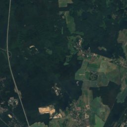
Bernau bei Berlin

Brandenburg · 7.1 km S
14°Oct high
11wet days
45score
Bernau bei Berlin
Melchow
Photo: Hans G. Oberlack · CC BY-SA 4.0 · Wikimedia CommonsReport this photo · linked, not stored
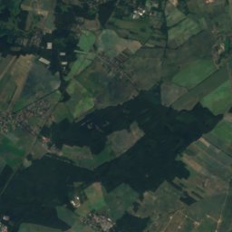
Melchow

Brandenburg · 8.4 km NE
14°Oct high
11wet days
44score
Melchow
Around here

Rüdnitz and around

Rüdnitz
Photo: Doris Antony, Berlin · CC BY-SA 3.0 · Wikimedia CommonsReport this photo · linked, not stored
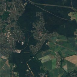
Rüdnitz

Brandenburg · Germany
May · Aug–Sepbest months
25°July high
61 maltitude
Rüdnitz

Nature

Liepnitzsee
Photo: Lukas Beck · CC BY-SA 4.0 · Wikimedia CommonsReport this photo · linked, not stored
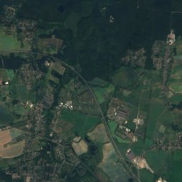
8.0 km NW

Liepnitzsee

Lake · 50 m
Liepnitzsee
Bogensee, Wandlitz
Photo: Lukas Beck · CC BY-SA 4.0 · Wikimedia CommonsReport this photo · linked, not stored
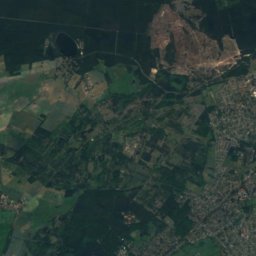
8.6 km NW

Bogensee, Wandlitz

Lake · 77 m
Bogensee, Wandlitz
Haussee (Seefeld-Löhme)
Photo: Hans G. Oberlack · CC BY-SA 4.0 · Wikimedia CommonsReport this photo · linked, not stored
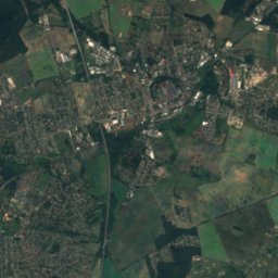
11 km S

Haussee (Seefeld-Löhme)

Lake · 68 m
Haussee (Seefeld-Löhme)

Mountains

Müggelberge
Photo: Andreas Steinhoff · Attribution · Wikimedia CommonsReport this photo · linked, not stored
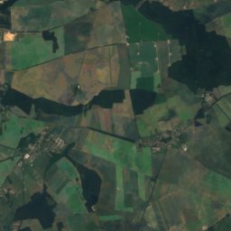
34 km S

Müggelberge

115 m
Müggelberge
Ahrensfelder Berge
Photo: Andreas Steinhoff · Attribution · Wikimedia CommonsReport this photo · linked, not stored
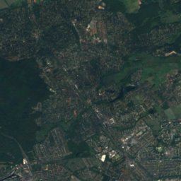
19 km S

Ahrensfelder Berge

115 m
Ahrensfelder Berge
Watzmann
Photo: Assenmacher · CC BY-SA 4.0 · Wikimedia CommonsReport this photo · linked, not stored
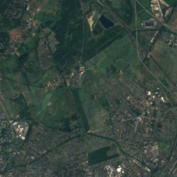
25 km E

Watzmann

106 m
Watzmann

Heritage

Satellite: Sentinel-2 cloudless 2016 by EOX IT Services GmbH · CC BY 4.0 · Contains modified Copernicus Sentinel data 2016
under 100 m SW

Dorfkirche, Rüdnitz

architectural heritage monument
Dorfkirche, Rüdnitz
Saal Alt Lobetal
Photo: Kvikk · CC BY-SA 3.0 · Wikimedia CommonsReport this photo · linked, not stored
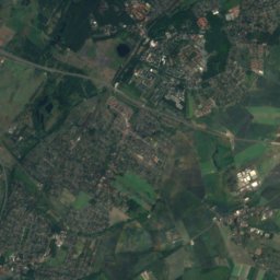
2.5 km NW

Saal Alt Lobetal

architectural heritage monument in Brandenburg
Saal Alt Lobetal
ADGB Trade Union School
Photo: User:Dabbelju · CC BY 2.5 · Wikimedia CommonsReport this photo · linked, not stored
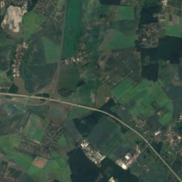
5.7 km W

ADGB Trade Union School

part of UNESCO World Heritage Site · 1930
ADGB Trade Union School

Museums

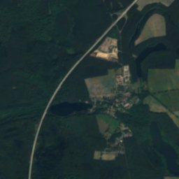
Satellite: Sentinel-2 cloudless 2016 by EOX IT Services GmbH · CC BY 4.0 · Contains modified Copernicus Sentinel data 2016
1.7 km W

Bunker Ladeburg

Military museum · 1982
Bunker Ladeburg
Barnim Panorama
Photo: Anagoria · CC BY 3.0 · Wikimedia CommonsReport this photo · linked, not stored
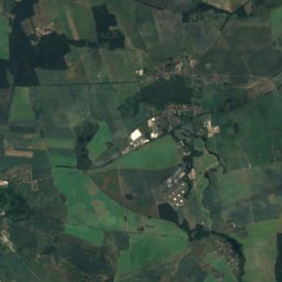
12 km W

Barnim Panorama

Visitor center · 1955
Barnim Panorama
Internationales Artistenmuseum
Photo: Angela M. Arnold, Berlin · CC BY-SA 3.0 · Wikimedia CommonsReport this photo · linked, not stored
13 km NW

Internationales Artistenmuseum

Internationales Artistenmuseum